Ilha dos Papagaios - Enseada 3
2
-22.898235398353, -41.98236164847
Dive Against Debris Team:
01. Flávio Mayrink
02. Vitor Hugo Cabral
03. Jullio Ferreira
01. Flávio Mayrink
02. Vitor Hugo Cabral
03. Jullio Ferreira
No
1
1
grill
denim shorts
Dive Soul
Flávio Mayrink
2
3
1.00
55
14.00
5.00
estimated
10000.00
On
kilograms
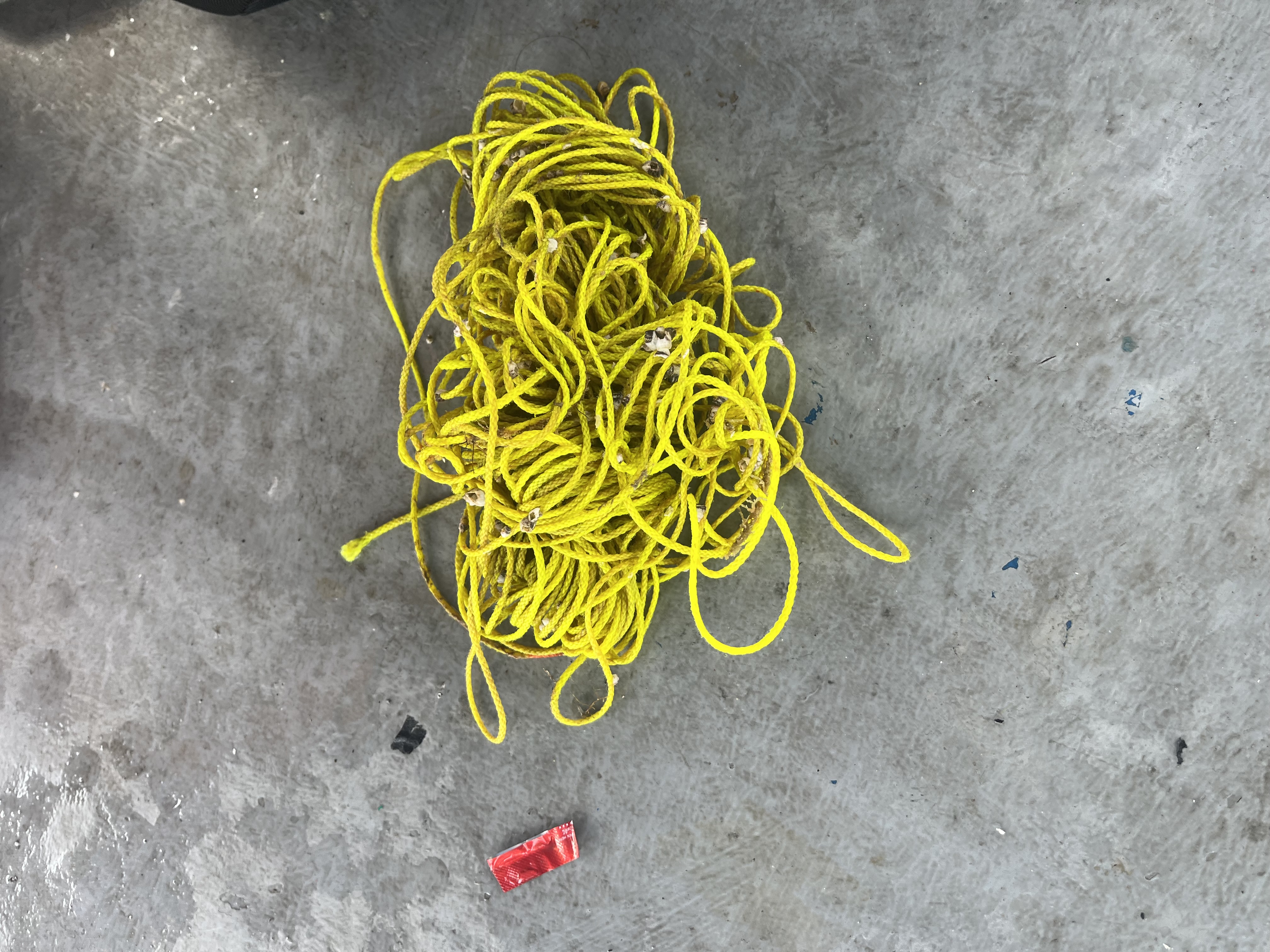
I have debris data to report
Calm (glassy to rippled) for waves 0 – 0.1 meter high
m2


meters
coral reef
1
5
1
State\Province
Rio de Janeiro
City
Cabo Frio
Map Help
Dive Location
If you know your survey site coordinates, enter them manually in decimal degrees using WGS84 Map Datum. Use the minus sign for latitudes south of the equator and longitudes west of the Prime Meridian to 180 degrees.
If you do not know your survey site coordinates, click the “Map Location” tab to use the map to zoom into your survey site and drop the pin on the map to fall within your survey dive site in the water (not on land or the beach). Ensure you zoom in as much as possible to ensure data accuracy.
Entangled Help