Menu

ADS408 - Ponte di Calafuria

rock

43.471736020091, 10.333624128841

mare calmo, visibilità buona
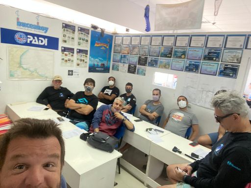
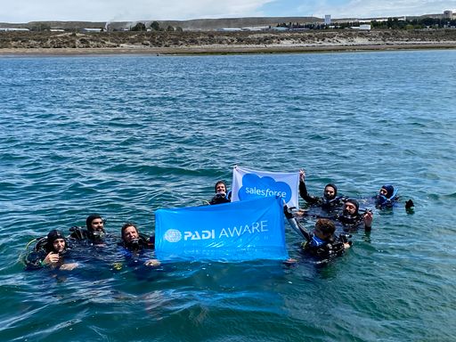
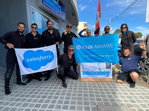
7 PERLE A.S.D.
Ugo Nesti
7
0.00
32
12.00
3.00
estimated
3600.00
inquinamento urbano
inquinamento da porto di Livorno
intensa attività di pesca professionale e sportiva
On
kilograms
Our Survey Site was free of debris
Calm (glassy to rippled) for waves 0 – 0.1 meter high m2
meters
rocky reef
Italy
State\Province
Pisa
City
Pisa
Map Help


Dive Location

If you know your survey site coordinates, enter them manually in decimal degrees using WGS84 Map Datum. Use the minus sign for latitudes south of the equator and longitudes west of the Prime Meridian to 180 degrees.

If you do not know your survey site coordinates, click the “Map Location” tab to use the map to zoom into your survey site and drop the pin on the map to fall within your survey dive site in the water (not on land or the beach). Ensure you zoom in as much as possible to ensure data accuracy.

Entangled Help


Use the vertical tabs below to record any entangled animals you found of each type.

ADS408 - Ponte di Calafuria

1
1
1
rock
1
1
1
1

43.548473, 10.3105674

mare mosso, vento teso da SW, poi passata di maestrale
7 PERLE A.S.D.
Ugo Nesti
4
8
5
1
1
1
1
1
1
0.50
54
11.00
2.50
1
estimated
1
3200.00
inquinamento urbano
inquinamento da porto di Livorno
intensa attività di pesca professionale e sportiva
On
kilograms
I have debris data to report
Smooth (wavelets) for waves 0.1 - 0.5 meter high m2
meters
rocky reef
2
3
Italy
State\Province
Pisa
City
Pisa
Map Help


Dive Location

If you know your survey site coordinates, enter them manually in decimal degrees using WGS84 Map Datum. Use the minus sign for latitudes south of the equator and longitudes west of the Prime Meridian to 180 degrees.

If you do not know your survey site coordinates, click the “Map Location” tab to use the map to zoom into your survey site and drop the pin on the map to fall within your survey dive site in the water (not on land or the beach). Ensure you zoom in as much as possible to ensure data accuracy.

Entangled Help


Use the vertical tabs below to record any entangled animals you found of each type.

ADS408 - Ponte di Calafuria

1
4
1
1
rock
1
2
1

43.471754576431, 10.333590825965

mare calmo, venti deboli dai quadranti orientali, visibilità buona
7 PERLE A.S.D.
Ugo Nesti
4
7
1
6
2
2
3
0.50
52
12.00
3.00
1
estimated
3600.00
inquinamento urbano
inquinamento dovuto al porto di Livorno
pesca sportiva e professionale intensa
On
kilograms
I have debris data to report
Calm (glassy to rippled) for waves 0 – 0.1 meter high m2
meters
rocky reef
1
1
1
Italy
State\Province
Pisa
City
Pisa
Map Help


Dive Location

If you know your survey site coordinates, enter them manually in decimal degrees using WGS84 Map Datum. Use the minus sign for latitudes south of the equator and longitudes west of the Prime Meridian to 180 degrees.

If you do not know your survey site coordinates, click the “Map Location” tab to use the map to zoom into your survey site and drop the pin on the map to fall within your survey dive site in the water (not on land or the beach). Ensure you zoom in as much as possible to ensure data accuracy.

Entangled Help


Use the vertical tabs below to record any entangled animals you found of each type.

ADS88 - Dive Bus House Reef

6

12.088975, -68.905175

coral
50
fishing spot
fuse cap
Some rain, some sun
The Dive Bus
Nanne van der Heiden
3
2
4
6
1
1
36.00
60
7.00
0.10
measured
20
300.00
fishing line
bottles
cans
3
On
kilograms
I have debris data to report
Smooth (wavelets) for waves 0.1 - 0.5 meter high m2
1
meters
coral reef
1
1
4
4
Netherlands Antilles
City
Willemstad
Map Help


Dive Location

If you know your survey site coordinates, enter them manually in decimal degrees using WGS84 Map Datum. Use the minus sign for latitudes south of the equator and longitudes west of the Prime Meridian to 180 degrees.

If you do not know your survey site coordinates, click the “Map Location” tab to use the map to zoom into your survey site and drop the pin on the map to fall within your survey dive site in the water (not on land or the beach). Ensure you zoom in as much as possible to ensure data accuracy.

Entangled Help


Use the vertical tabs below to record any entangled animals you found of each type.

Parque las piedras

rock

-42.734250298196, -65.033745469633

we were suprized about de non stop cycle of the undaria,
Its cycle is generally between June and early December, but yesterday's survey was still very advanced in invasion (it is not a native species)
we have removed a large amount for analysis and shows as they had fungal encrustations
AN incredible day of awareness, learning and work, together with the dive against debris course, together with Sales force Argentina
cans
good conditions
23 kilos
Undaria
Bucea Hoy - Dive Today
Pato Cartelli
10
25.00
40
5.00
4.00
measured
100.00
1
undaria invation, plastic bags
On
kilograms
I have debris data to report
Calm (glassy to rippled) for waves 0 – 0.1 meter high
1
m2
meters
rocky reef
1
1
Argentina
State\Province
Chubut
City
Puerto Madryn
Map Help


Dive Location

If you know your survey site coordinates, enter them manually in decimal degrees using WGS84 Map Datum. Use the minus sign for latitudes south of the equator and longitudes west of the Prime Meridian to 180 degrees.

If you do not know your survey site coordinates, click the “Map Location” tab to use the map to zoom into your survey site and drop the pin on the map to fall within your survey dive site in the water (not on land or the beach). Ensure you zoom in as much as possible to ensure data accuracy.

Entangled Help


Use the vertical tabs below to record any entangled animals you found of each type.

Baggersee Burkwang

3
sand
20
10

47.678447062079, 10.046682483706

Lion Divers PADI Resort 26961
Bernd Wildenstein
1
2
8
4
1
12
7
5
3
50
0
2
15
0
0
2
120.00
240
8.00
1.00
estimated
4
200.00
Glas Bottles
Einkaufswagen
Plastik
On
kilograms
I have debris data to report
Calm (glassy to rippled) for waves 0 – 0.1 meter high m2
meters
other
Germany
State\Province
Baden-Württemberg
City
Isny (Allgäu) 88316
Map Help


Dive Location

If you know your survey site coordinates, enter them manually in decimal degrees using WGS84 Map Datum. Use the minus sign for latitudes south of the equator and longitudes west of the Prime Meridian to 180 degrees.

If you do not know your survey site coordinates, click the “Map Location” tab to use the map to zoom into your survey site and drop the pin on the map to fall within your survey dive site in the water (not on land or the beach). Ensure you zoom in as much as possible to ensure data accuracy.

Entangled Help


Use the vertical tabs below to record any entangled animals you found of each type.

Ecosystem Other
Fresh water Lake

ADS408 - Ponte di Calafuria

2
1
1
3
rock
1
2
2
1

43.471719434264, 10.333598443984

mare calmo, venti deboli variabili.
7 PERLE A.S.D.
Ugo Nesti
1
4
3
5
1
2
3
1
4
1
1.00
51
11.00
2.50
2
estimated
2
4200.00
inquinamento urbano
inquinamento porto di Livorno
attività di pesca sportiva e professionale intensa
On
kilograms
I have debris data to report
Smooth (wavelets) for waves 0.1 - 0.5 meter high
1
m2
meters
rocky reef
3
2
1
2
1
Italy
State\Province
Pisa
City
Pisa
Map Help


Dive Location

If you know your survey site coordinates, enter them manually in decimal degrees using WGS84 Map Datum. Use the minus sign for latitudes south of the equator and longitudes west of the Prime Meridian to 180 degrees.

If you do not know your survey site coordinates, click the “Map Location” tab to use the map to zoom into your survey site and drop the pin on the map to fall within your survey dive site in the water (not on land or the beach). Ensure you zoom in as much as possible to ensure data accuracy.

Entangled Help


Use the vertical tabs below to record any entangled animals you found of each type.

ADS408 - Ponte di Calafuria

rock

43.47171190113, 10.33363476379

mare tendenzialmente poco mosso, con venti di maestrale
7 PERLE A.S.D.
Ugo Nesti
4
0.00
49
10.00
3.00
estimated
3600.00
inquinamento urbano
inquinamento dal porto di Livorno
intensa attività di pesca sportiva e professionale
On
kilograms
Our Survey Site was free of debris
Smooth (wavelets) for waves 0.1 - 0.5 meter high m2
meters
rocky reef
Italy
State\Province
Pisa
City
Pisa
Map Help


Dive Location

If you know your survey site coordinates, enter them manually in decimal degrees using WGS84 Map Datum. Use the minus sign for latitudes south of the equator and longitudes west of the Prime Meridian to 180 degrees.

If you do not know your survey site coordinates, click the “Map Location” tab to use the map to zoom into your survey site and drop the pin on the map to fall within your survey dive site in the water (not on land or the beach). Ensure you zoom in as much as possible to ensure data accuracy.

Entangled Help


Use the vertical tabs below to record any entangled animals you found of each type.

ADS408 - Ponte di Calafuria

2
rock
2
1

43.471675493421, 10.333569717127

mare calmo, venti deboli occidentali
7 PERLE A.S.D.
Ugo Nesti
1
1
2
5
1
1
1
0.20
47
11.00
3.50
1
estimated
3600.00
inquinamento urbano
inquinamento porto di Livorno
inquinamento per maleducazione utenti della zona
On
kilograms
I have debris data to report
Calm (glassy to rippled) for waves 0 – 0.1 meter high m2
meters
rocky reef
1
Italy
State\Province
Pisa
City
Pisa
Map Help


Dive Location

If you know your survey site coordinates, enter them manually in decimal degrees using WGS84 Map Datum. Use the minus sign for latitudes south of the equator and longitudes west of the Prime Meridian to 180 degrees.

If you do not know your survey site coordinates, click the “Map Location” tab to use the map to zoom into your survey site and drop the pin on the map to fall within your survey dive site in the water (not on land or the beach). Ensure you zoom in as much as possible to ensure data accuracy.

Entangled Help


Use the vertical tabs below to record any entangled animals you found of each type.

ADS408 - Ponte di Calafuria

1
1
rock
1
1

43.471680127926, 10.333601884281

Niente di particolare, abbiamo notato che dopo il lockdown c'è meno sporcizia
Mare calmo, venti deboli orientali
7 PERLE A.S.D.
Ugo Nesti
1
5
1
6
2
2
0.20
57
12.00
3.00
1
estimated
4000.00
pesca professionale e sportiva a ridosso dei reef
inquinamento dal porto di Livorno
inquinamento da maleducazione delle persone che frequentano la zona
On
kilograms
I have debris data to report
Smooth (wavelets) for waves 0.1 - 0.5 meter high m2
meters
rocky reef
1
1
Italy
State\Province
Pisa
City
Pisa
Map Help


Dive Location

If you know your survey site coordinates, enter them manually in decimal degrees using WGS84 Map Datum. Use the minus sign for latitudes south of the equator and longitudes west of the Prime Meridian to 180 degrees.

If you do not know your survey site coordinates, click the “Map Location” tab to use the map to zoom into your survey site and drop the pin on the map to fall within your survey dive site in the water (not on land or the beach). Ensure you zoom in as much as possible to ensure data accuracy.

Entangled Help


Use the vertical tabs below to record any entangled animals you found of each type.

Subscribe to