
Day 25. Gisamun
13
38.008385, 128.733731
2
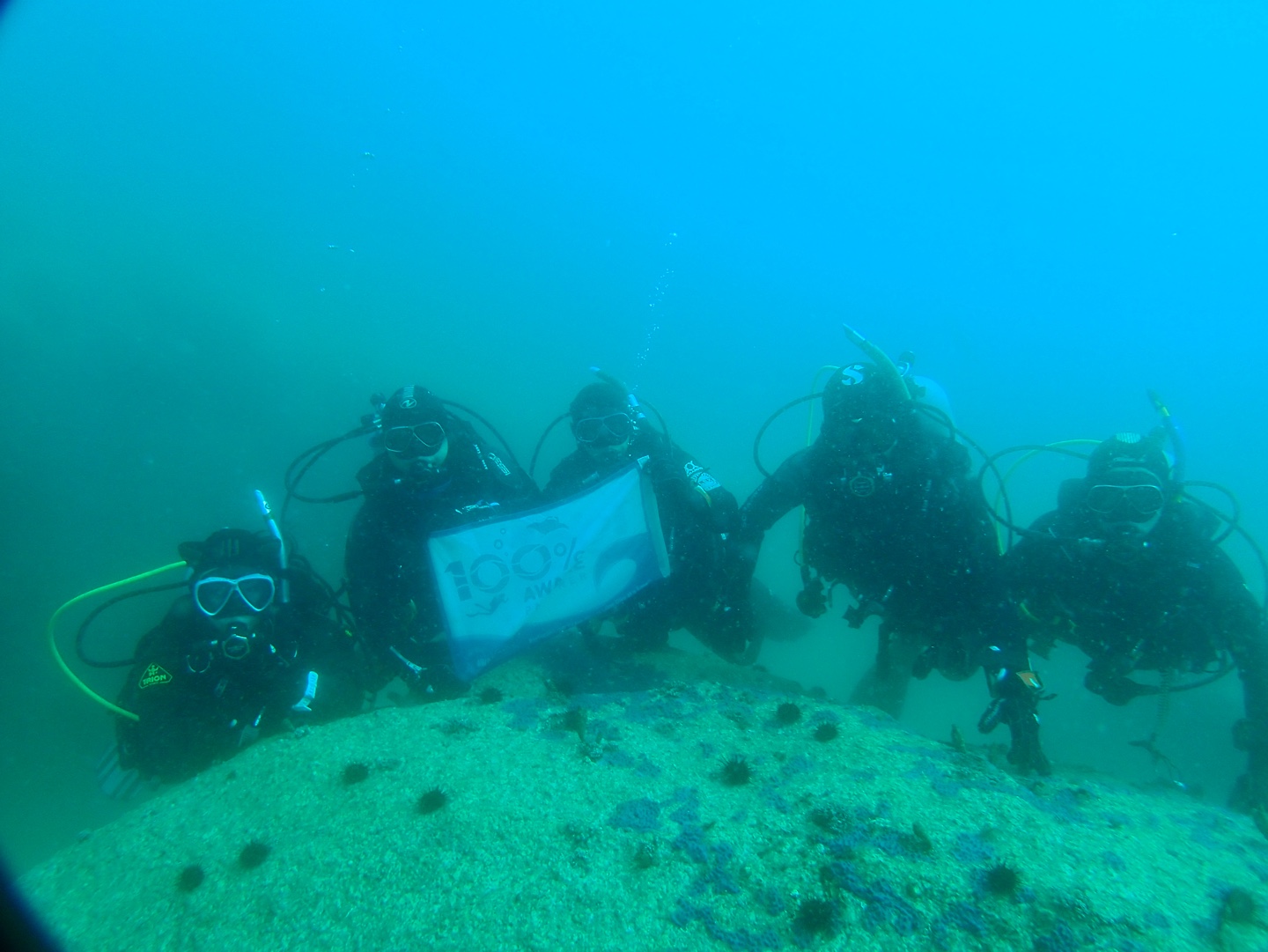
coral
20
11
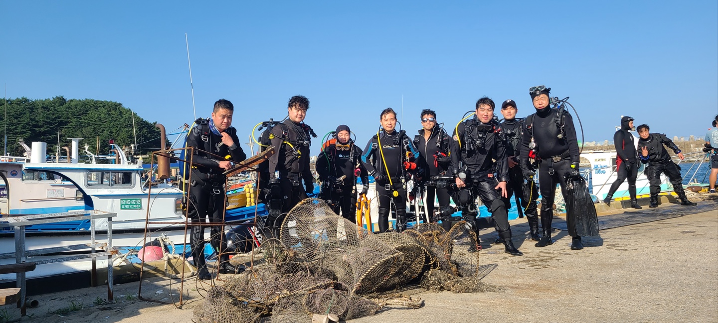
There are many anglers around here.
There are many anglers around here.
fishing: nets & pieces of nets
Sunny
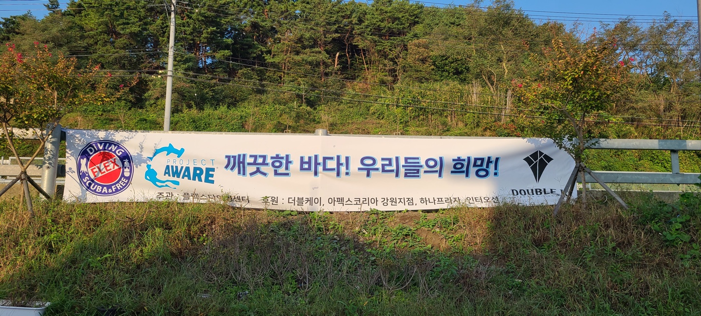
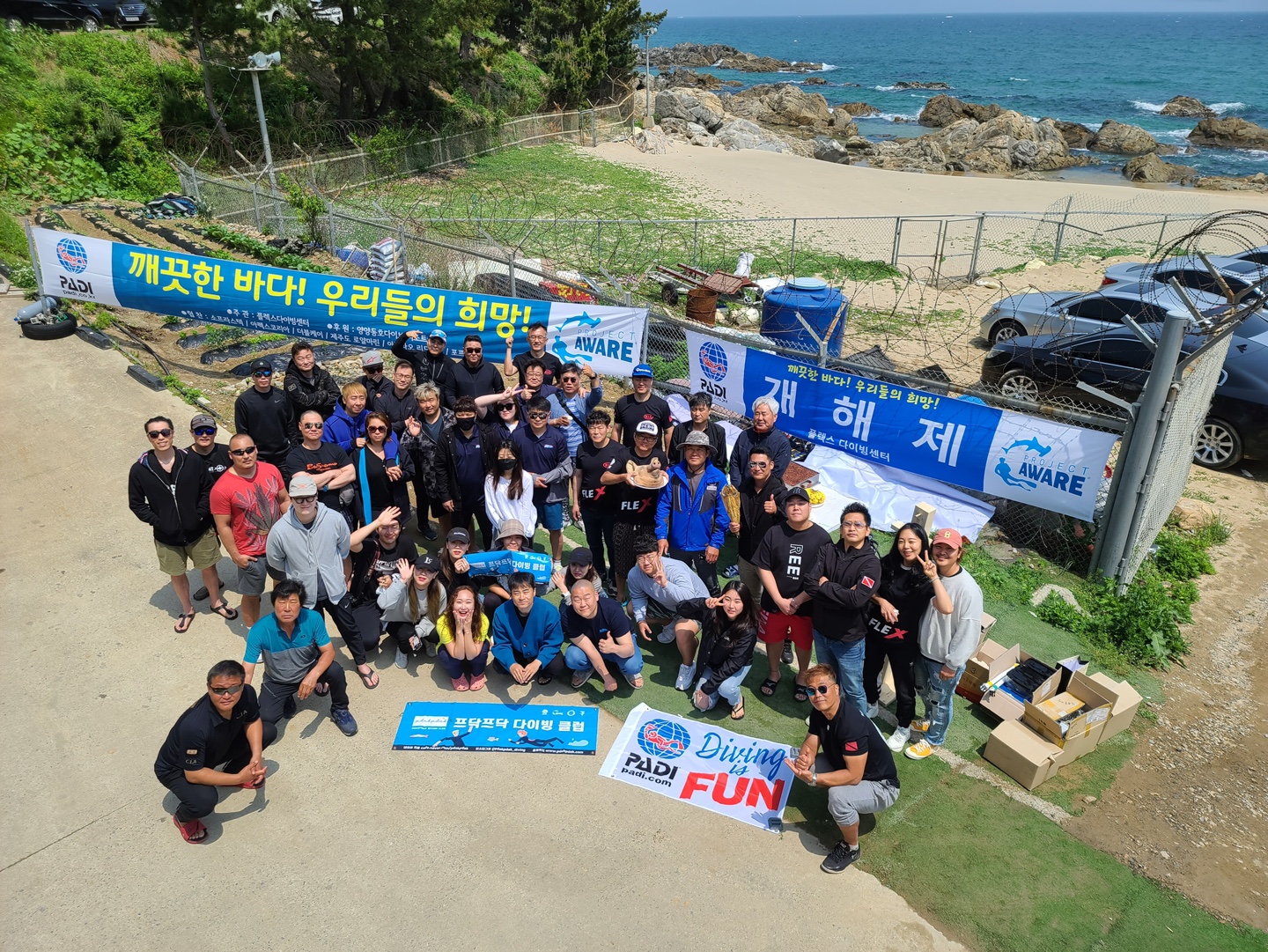
Flax Diving Center
Jin Seok Park
50
30
13
17
5
50.00
50
8.00
3.00
estimated
3
2
5650.00
fishing: nets & pieces of nets
fishing: line
bags: trash (plastic)
On
kilograms
I have debris data to report
2
Calm (glassy to rippled) for waves 0 – 0.1 meter high
m2
meters
coral reef
5
State\Province
Gangwon-do
City
YangYang
Map Help
Dive Location
If you know your survey site coordinates, enter them manually in decimal degrees using WGS84 Map Datum. Use the minus sign for latitudes south of the equator and longitudes west of the Prime Meridian to 180 degrees.
If you do not know your survey site coordinates, click the “Map Location” tab to use the map to zoom into your survey site and drop the pin on the map to fall within your survey dive site in the water (not on land or the beach). Ensure you zoom in as much as possible to ensure data accuracy.
Entangled Help


