Dive Against Debris Data Submission
Tallebudgera Bridge
22 May, 2020
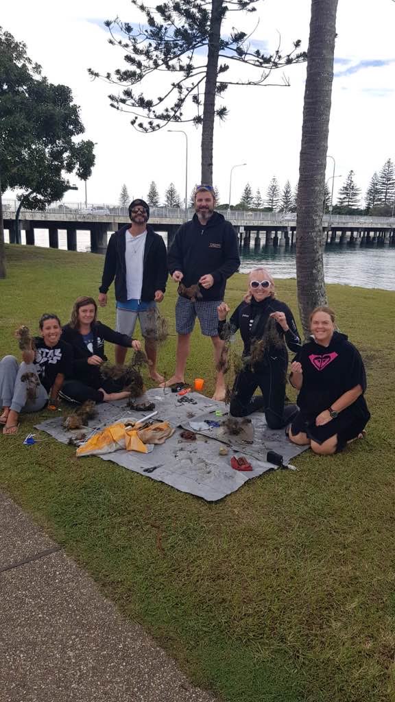
- Team Leader
- Sally
- Number of Participants
- 6
- Total Debris Collected
- 4 kgs (estimated)
-28.098031866896, 153.45639684622
Survey Information
- Location Name
- Tallebudgera Bridge
- Organization/Dive Centre
- Border Fishing Trash Awareness
- City
- Tallebudgera
- Country
- Australia
- Date
- 22 May, 2020
- Survey Duration
- 25 Minutes
- GPS Coordinates
- Latitude: -28.098031866896
Longitude: 153.45639684622
- Weather Conditions
-
Severe cold snap
- Survey Depth Range
- 1–6 meters
- Area Surveyed
- 110.037 m2
- Dominant Substrate
- rock
- Ecosystem
- rocky reef
- Wave Conditions
- Calm (glassy to rippled) for waves 0 – 0.1 meter high
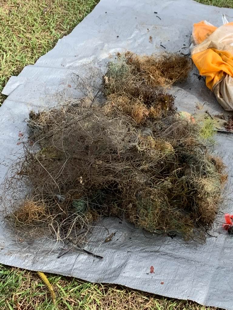
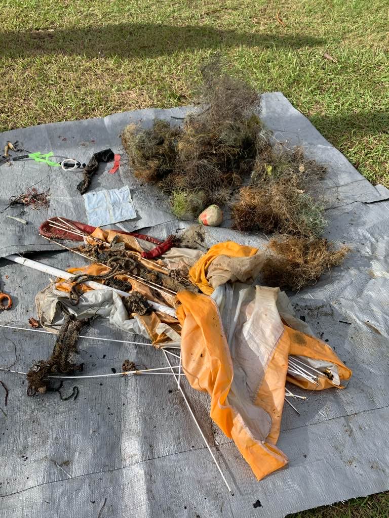
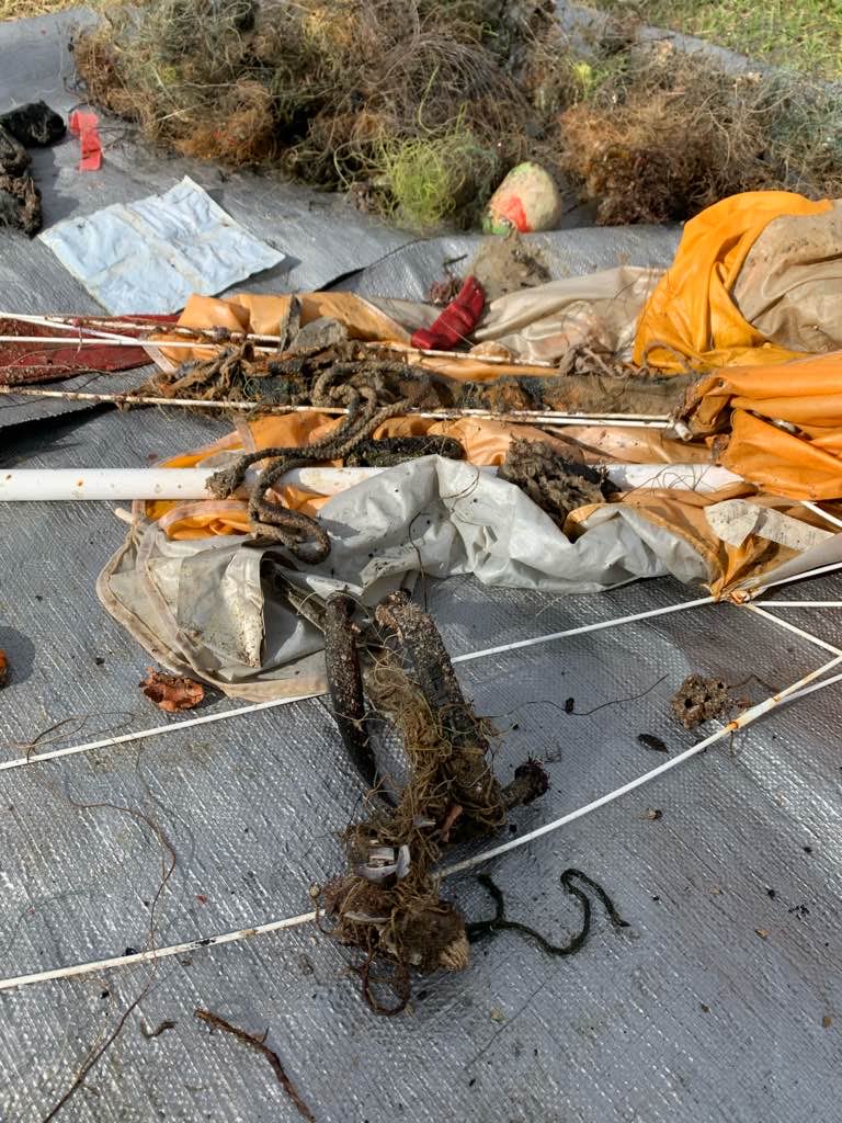
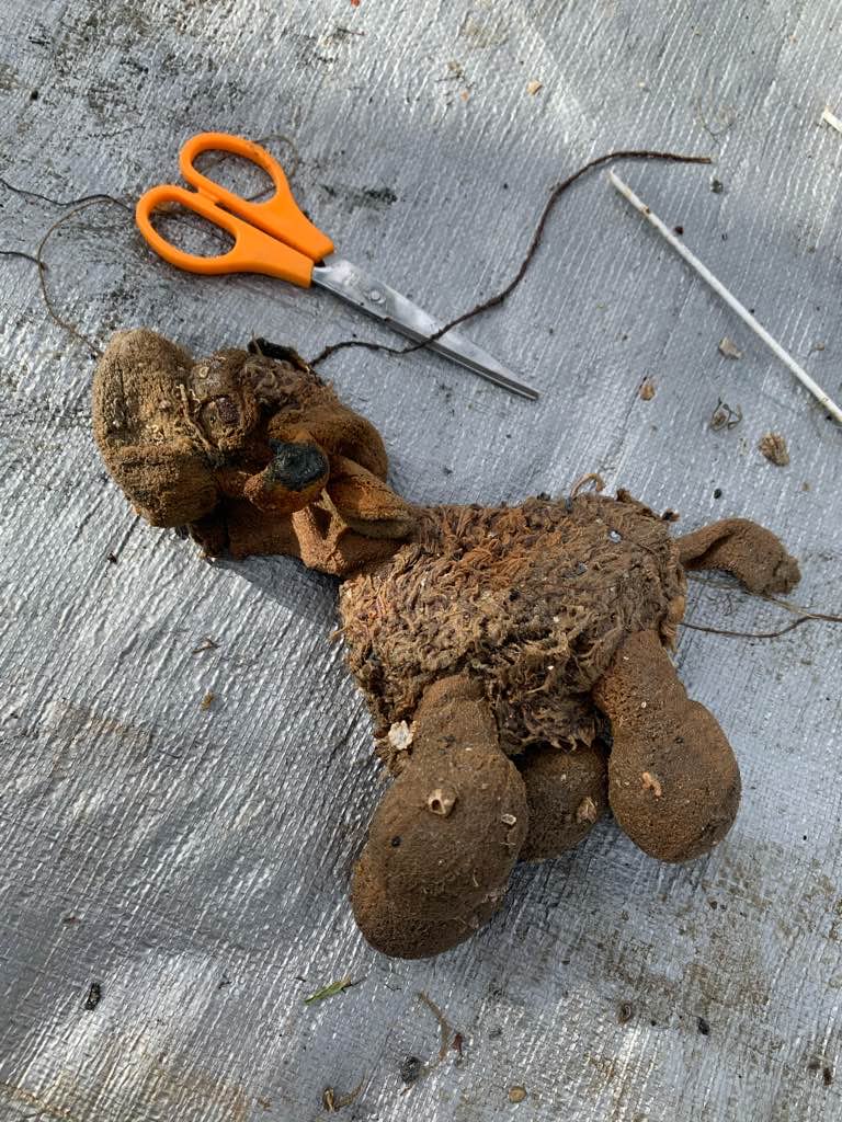
Survey Photos
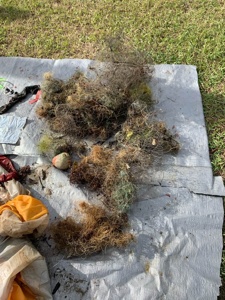
Debris Items Collected
| plastic materials collected | |
|---|---|
| Fishing: Line | 100 |
| Fishing: Lures, Rods/poles | 4 |
| Fishing: Nets & Pieces Of Nets | 2 |
| metal materials collected | |
|---|---|
| Fishing: Sinkers, Lures, Hooks | 120 |
| cloth materials collected | |
|---|---|
| Rope And String (cloth) | 5 |
| mixed materials collected | |
|---|---|
| Toys | 3 |
| other materials collected | |
|---|---|
| Accessories | 1 |
| Tools | 1 |
Additional Information
Fishermen
Beach Umbrella
Fishing line
Hooks/sinkers
Lures
Comments and Feedback
The bridge is a no fishing zone. There are signs all over the bridge. Yet every night there are fishermen cast netting and fishing over the side of the bridge.

