
Dive Against Debris Data Submission
Sandbox
23 September, 2018
- Team Leader
- Cortney Benson
- Number of Participants
- 21
- Total Debris Collected
- 15 lbs (estimated)
24.48152, -80.40922
Survey Information
- Location Name
- Sandbox
- Organization/Dive Centre
- Key Dives/FKNMS
- City
- Islamorada
- Country
- United States
- Date
- 23 September, 2018
- Survey Duration
- 45 Minutes
- GPS Coordinates
- Latitude: 24.48152
Longitude: -80.40922
- Weather Conditions
-
Ideal , no storms
- Survey Depth Range
- 40–55 feet
- Area Surveyed
- 100 m2
- Dominant Substrate
- coral
- Ecosystem
- coral reef
- Wave Conditions
- Smooth (wavelets) for waves 0.1 - 0.5 meter high
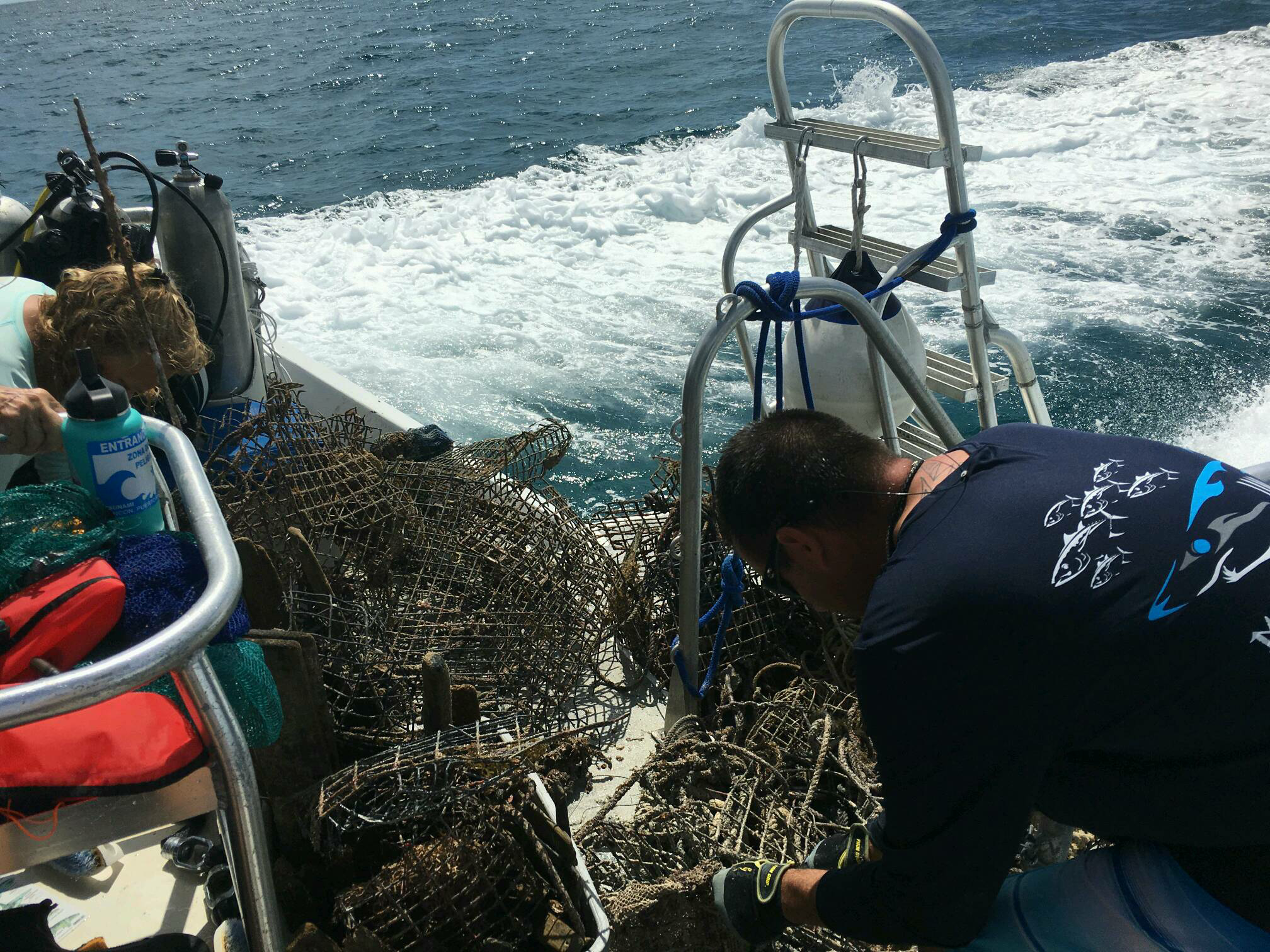
Survey Photos
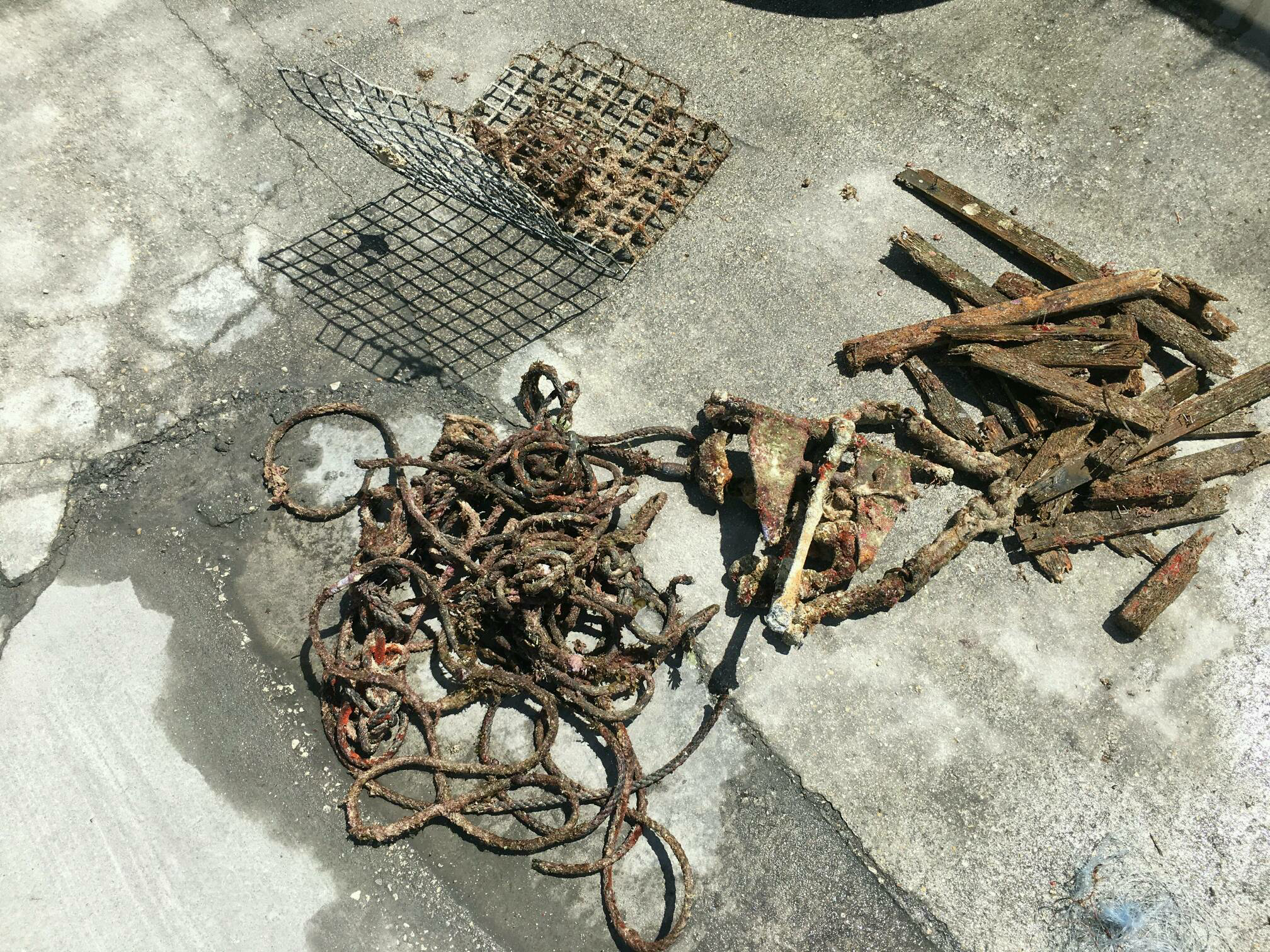
Debris Items Collected
| plastic materials collected | |
|---|---|
| Fishing: Line | 4 |
| metal materials collected | |
|---|---|
| Fishing: Traps & Pots | 2 |
| wood materials collected | |
|---|---|
| Wood Fragments | 31 |
| other materials collected | |
|---|---|
| Anchor chain | 1 |
| Metal anchor | 1 |
Additional Information
Commercial/Recreational Fishing and Hurricane Irma
Boat Anchor
Lobster trap debris
Lobster line
Fishing line


