
Dive Against Debris Data Submission
Rig Reef 2
27 April, 2019
- Team Leader
- Martin
- Number of Participants
- 2
- Total Debris Collected
- 0.1 kgs (estimated)
5.10683, 114.95213
Survey Information
- Location Name
- Rig Reef 2
- Organization/Dive Centre
- Oceanic Quest
- City
- Serasa
- Country
- Brunei
- Date
- 27 April, 2019
- Survey Duration
- 52 Minutes
- GPS Coordinates
- Latitude: 5.10683
Longitude: 114.95213
- Weather Conditions
-
evening/morning storms
- Survey Depth Range
- 10–18 meters
- Area Surveyed
- 200 m2
- Dominant Substrate
- sand
- Ecosystem
- other
- Wave Conditions
- Slight for waves 0.5 -1.25 meter high
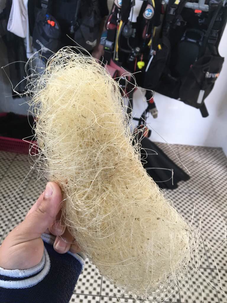
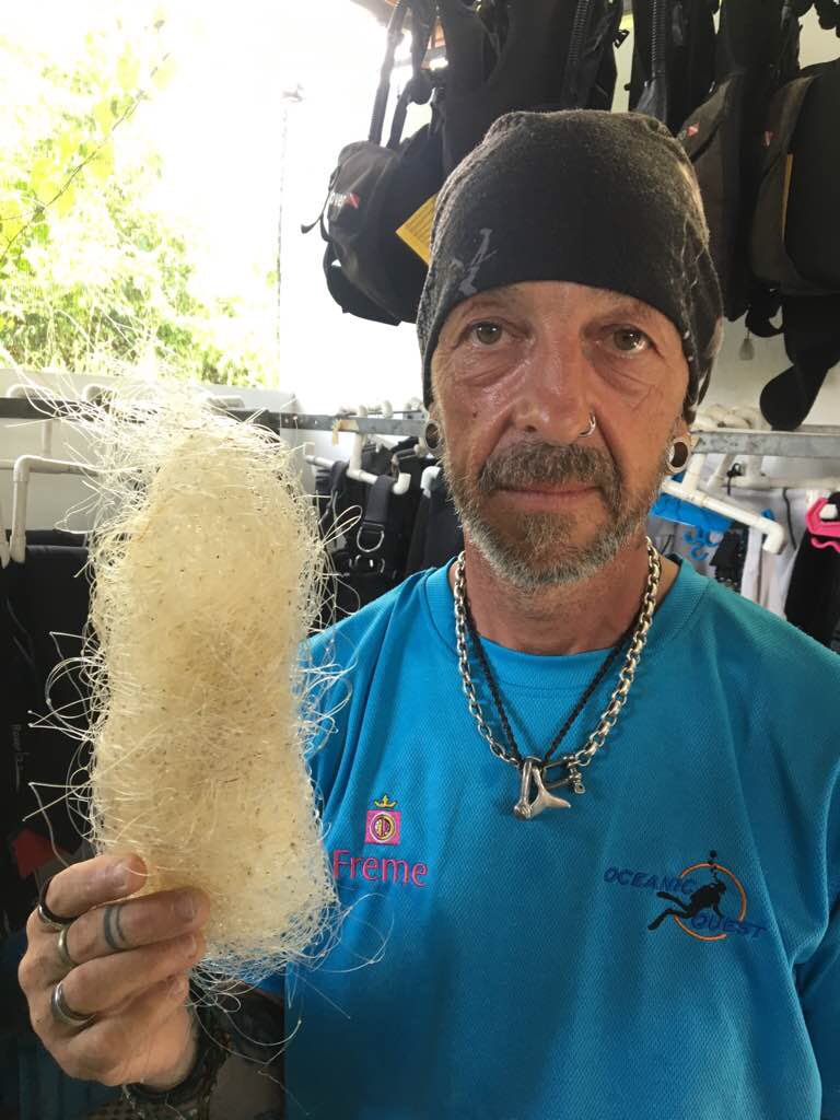
Survey Photos
Debris Items Collected
| plastic materials collected | |
|---|---|
| Fishing: Line | 10 |
Additional Information
local fisherman
fishing line
Comments and Feedback
more old nets/line to be collected over multiple dives or with a bigger team


