
Dive Against Debris Data Submission
Rig 2
2 May, 2023
- Team Leader
- Khai Matahir
- Number of Participants
- 4
- Total Debris Collected
- 32 kgs (measured)
5.018699, 114.88608
Survey Information
- Location Name
- Rig 2
- Organization/Dive Centre
- PONI divers
- City
- Muara
- Country
- Brunei
- Date
- 2 May, 2023
- Survey Duration
- 45 Minutes
- GPS Coordinates
- Latitude: 5.018699
Longitude: 114.88608
- Weather Conditions
-
Hot and wet
- Survey Depth Range
- 10–18 meters
- Area Surveyed
- 50 m2
- Dominant Substrate
- sand
- Ecosystem
- coral reef
- Wave Conditions
- Smooth (wavelets) for waves 0.1 - 0.5 meter high
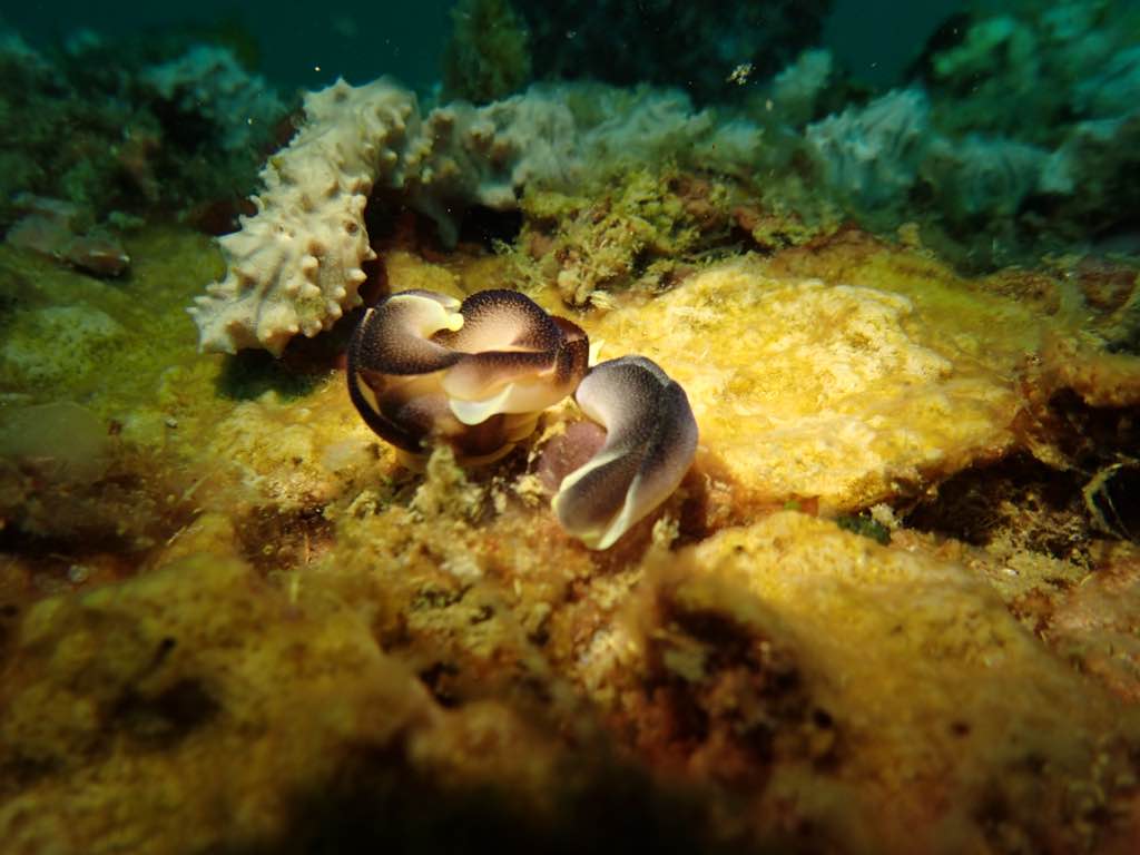
Survey Photos
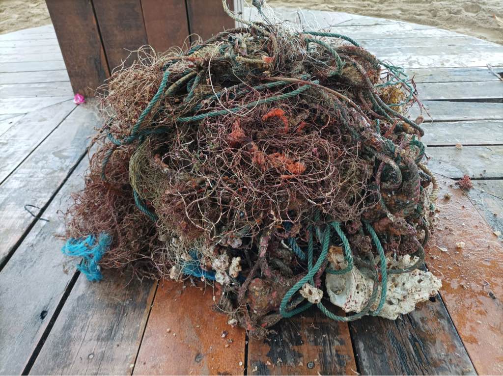
Debris Items Collected
| plastic materials collected | |
|---|---|
| Buoys & Floats (plastic & Foamed) | 5 |
| Fishing: Line | 2 |
| Fishing: Nets & Pieces Of Nets | 100 |
| Mesh Bags: Fruit/vegetable/shellfish | 1 |
| Rope (plastic/nylon) | 5 |
| cloth materials collected | |
|---|---|
| Rope And String (cloth) | 5 |
| other materials collected | |
|---|---|
| Anchor | 1 |
| Entangled Animals | |
|---|---|
| Crustaceans | |
| Species or Common Name | Crab |
| Number Entangled | 1 |
| Status | released unharmed |
| Type of Debris | Ghost net |
Additional Information
Good fishing conditions
Anchor
Ghost nets


