
Dive Against Debris Data Submission
Ponquogue Bridge
14 July, 2023
- Team Leader
- Yurika Tomita
- Number of Participants
- 2
- Total Debris Collected
- 18.68 lbs (measured)
40.841701020438, -72.49884012219
Survey Information
- Location Name
- Ponquogue Bridge
- Organization/Dive Centre
- Hampton Dive Center
- City
- Riverhead
- Country
- United States
- Date
- 14 July, 2023
- Survey Duration
- 47 Minutes
- GPS Coordinates
- Latitude: 40.841701020438
Longitude: -72.49884012219
- Weather Conditions
- Survey Depth Range
- 1–17 feet
- Area Surveyed
- 56772.6 ft2
- Dominant Substrate
- sand
- Ecosystem
- eel grass, mussels
- Wave Conditions
- Calm (glassy to rippled) for waves 0 – 0.1 meter high
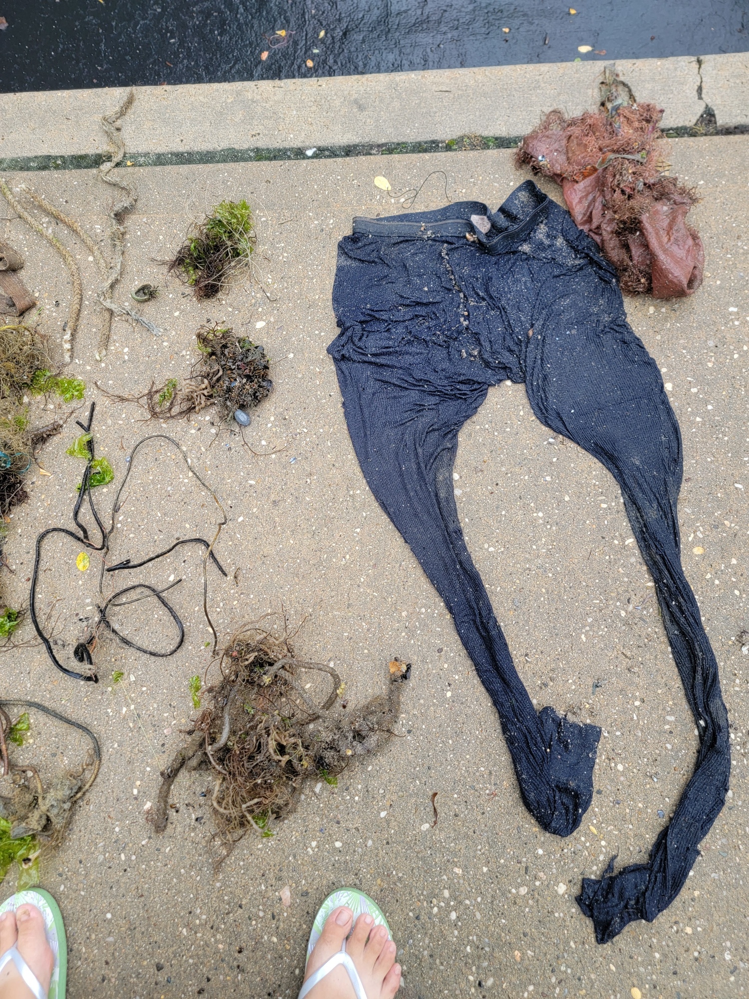
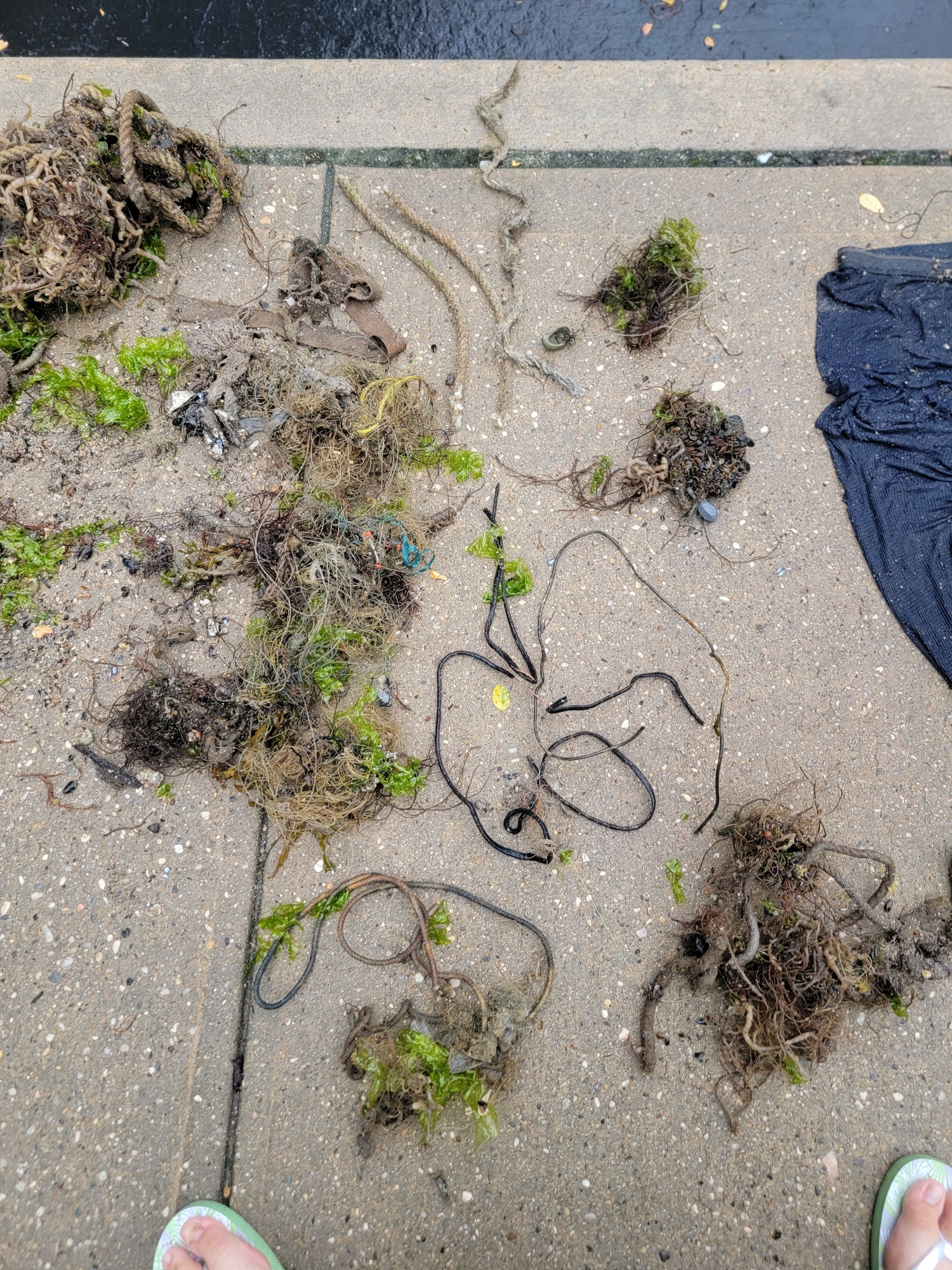
Survey Photos
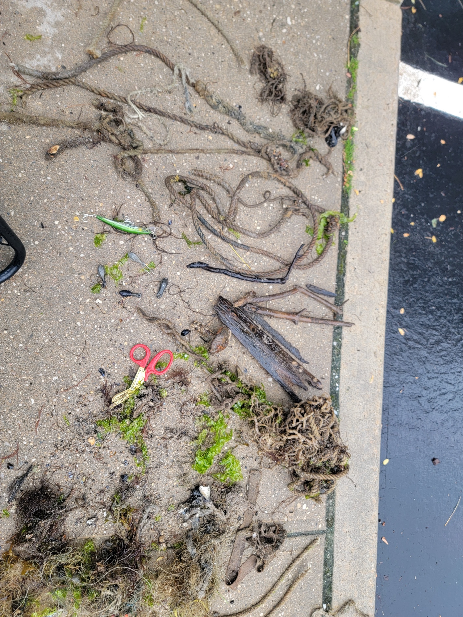
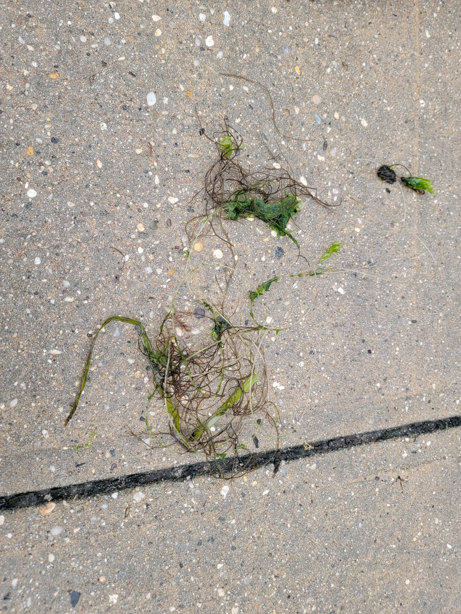
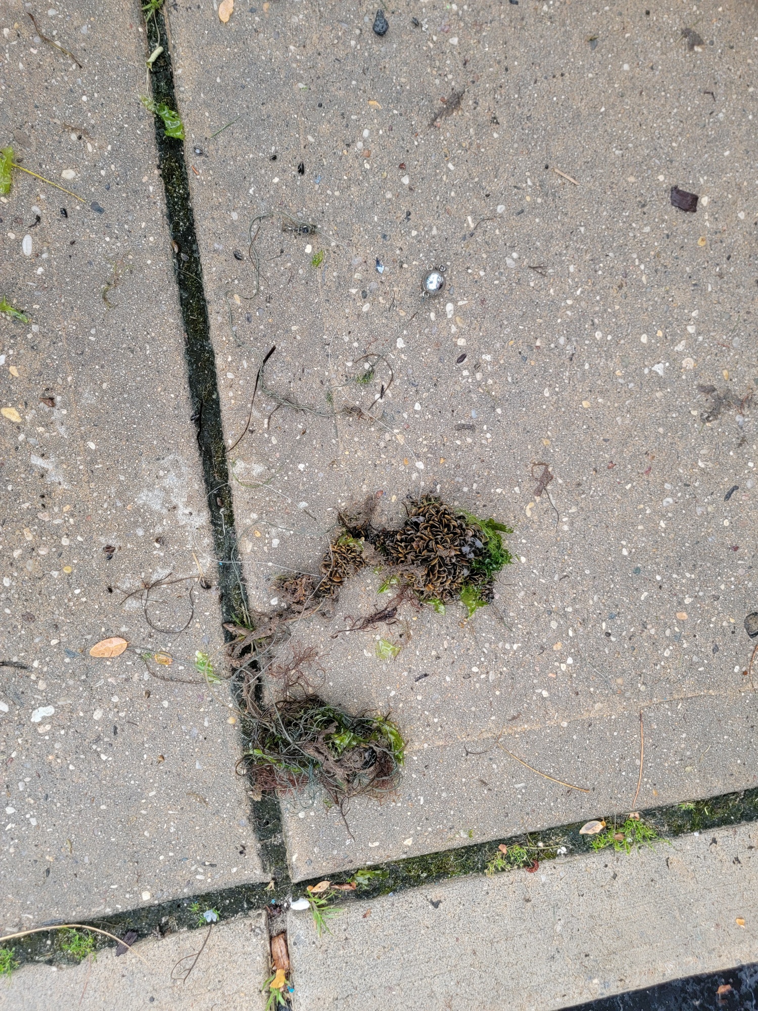
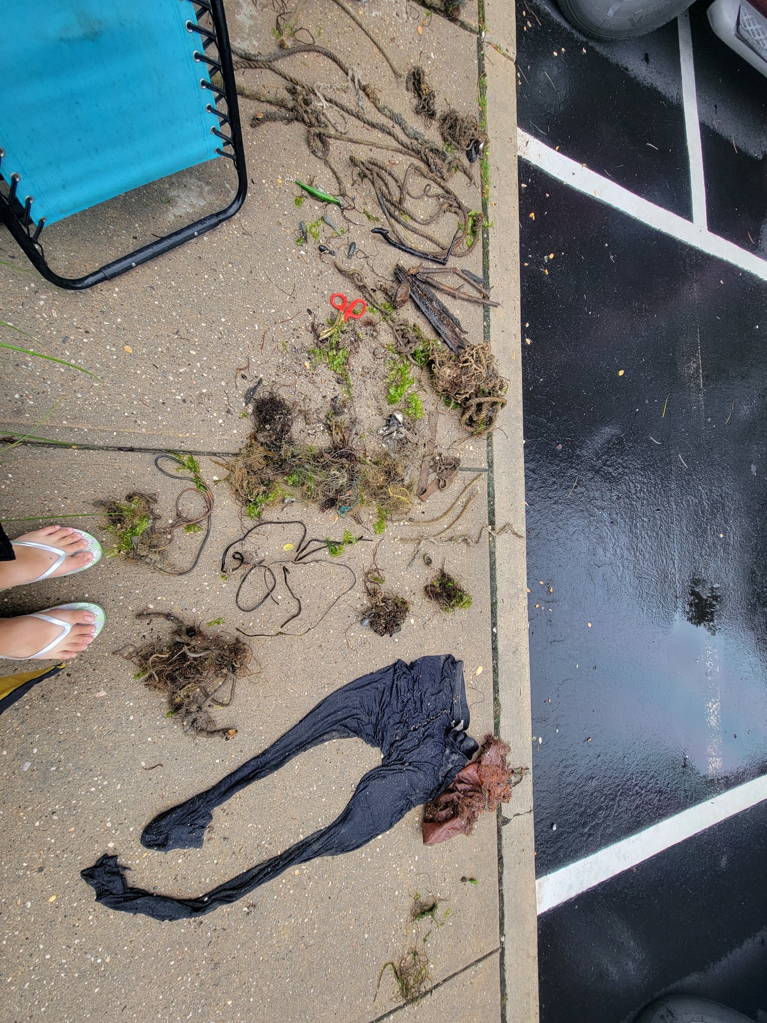
Debris Items Collected
| plastic materials collected | |
|---|---|
| Fishing: Line | 22 |
| Mesh Bags: Fruit/vegetable/shellfish | 1 |
| metal materials collected | |
|---|---|
| Wire, Wire Mesh & Barbed Wire | 5 |
| Metal Fragments | 1 |
| Fishing: Sinkers, Lures, Hooks | 8 |
| wood materials collected | |
|---|---|
| Lumber (processed Or Cut/milled Wood) | 6 |
| cloth materials collected | |
|---|---|
| Rope And String (cloth) | 18 |
| mixed materials collected | |
|---|---|
| Clothing | 1 |
| Entangled Animals | |
|---|---|
| Crustaceans | |
| Species or Common Name | Spider Crab |
| Number Entangled | 1 |
| Status | released unharmed |
| Type of Debris | monofilament fishing line |


