
Dive Against Debris Data Submission
Ponquogue Bridge
18 June, 2023
- Team Leader
- Yurika Tomita
- Number of Participants
- 2
- Total Debris Collected
- 7.23 lbs (measured)
40.841343019794, -72.498060183503
Survey Information
- Location Name
- Ponquogue Bridge
- Organization/Dive Centre
- Hampton Dive Center
- City
- Riverhead
- Country
- United States
- Date
- 18 June, 2023
- Survey Duration
- 69 Minutes
- GPS Coordinates
- Latitude: 40.841343019794
Longitude: -72.498060183503
- Weather Conditions
- Survey Depth Range
- 1–18 feet
- Area Surveyed
- 56772.5 ft2
- Dominant Substrate
- sand
- Ecosystem
- eel grass, mussels
- Wave Conditions
- Slight for waves 0.5 -1.25 meter high
Survey Photos
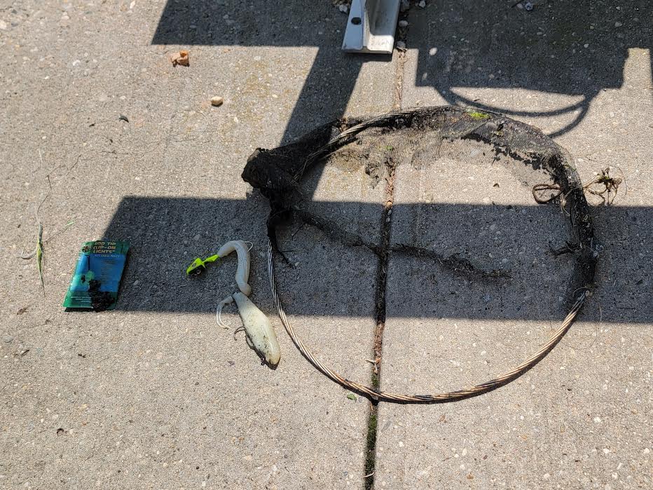
Debris Items Collected
| plastic materials collected | |
|---|---|
| Bait Containers, Packaging | 1 |
| Fishing: Line | 3 |
| metal materials collected | |
|---|---|
| Wire, Wire Mesh & Barbed Wire | 2 |
| Metal Fragments | 4 |
| Fishing: Sinkers, Lures, Hooks | 13 |
| rubber materials collected | |
|---|---|
| Rubber Fragments | 13 |
| Entangled Animals | |
|---|---|
| Crustaceans | |
| Species or Common Name | Libinia emarginata |
| Number Entangled | 1 |
| Status | released unharmed |
| Type of Debris | fishing line |
| Comments | slightly entangled to the crab. Easy removal and release |
Additional Information
part of a circular fishing net


