
Dive Against Debris Data Submission
Ponquogue Bridge
8 June, 2023
- Team Leader
- Yurika Tomita
- Number of Participants
- 2
- Total Debris Collected
- 4.15 lbs (measured)
40.84207, -72.499097
Survey Information
- Location Name
- Ponquogue Bridge
- Organization/Dive Centre
- Hampton Dive Center
- City
- Riverhead
- Country
- United States
- Date
- 8 June, 2023
- Survey Duration
- 60 Minutes
- GPS Coordinates
- Latitude: 40.84207
Longitude: -72.499097
- Weather Conditions
- Survey Depth Range
- 1–23 feet
- Area Surveyed
- 56772.6 ft2
- Dominant Substrate
- sand
- Ecosystem
- eel grass, mussels
- Wave Conditions
- Smooth (wavelets) for waves 0.1 - 0.5 meter high
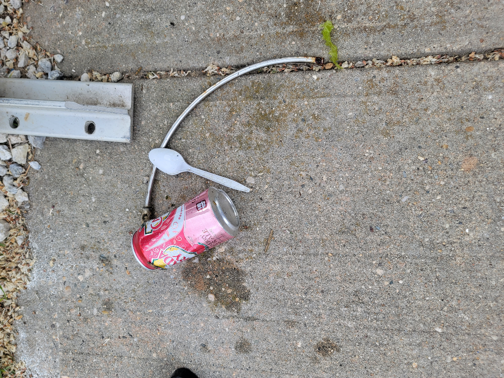
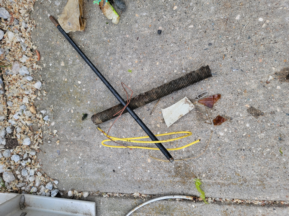
Survey Photos


Debris Items Collected
| plastic materials collected | |
|---|---|
| Bags-grocery/retail (plastic) | 1 |
| Balloons | 1 |
| Caps & Lids (plastic) | 1 |
| Cups, Plates, Forks, Knives, Spoons (plastic) | 1 |
| Fishing: Line | 1 |
| Food Wrappers (plastic) | 3 |
| Plastic Fragments | 4 |
| glass materials collected | |
|---|---|
| Glass & Ceramic Fragments | 3 |
| Beverage Bottles (glass) | 2 |
| metal materials collected | |
|---|---|
| Cans: Food/juice, Other (tin) | 3 |
| Caps & Lids (metal) | 1 |
| Pipes & Rebar | 3 |
| Wire, Wire Mesh & Barbed Wire | 1 |
| Fishing: Sinkers, Lures, Hooks | 10 |
| rubber materials collected | |
|---|---|
| Rubber Fragments | 12 |
| paper materials collected | |
|---|---|
| Paper, Cardboard Fragments | 2 |
Additional Information
No
Weird shapped barbed wire
Deepest zone (14-20+ ft)
Most fishing lines were in the columns


