
Dive Against Debris Data Submission
Nagannu North
23 August, 2021
- Team Leader
- ting fung Ng
- Number of Participants
- 3
- Total Debris Collected
- 0.3 kgs (measured)
26.2769359, 127.5443601
Survey Information
- Location Name
- Nagannu North
- Organization/Dive Centre
- Country
- Japan
- Date
- 23 August, 2021
- Survey Duration
- 40 Minutes
- GPS Coordinates
- Latitude: 26.2769359
Longitude: 127.5443601
- Weather Conditions
- Survey Depth Range
- 3–17 meters
- Area Surveyed
- 4000 m2
- Dominant Substrate
- rock
- Ecosystem
- coral reef
- Wave Conditions
- Calm (glassy to rippled) for waves 0 – 0.1 meter high
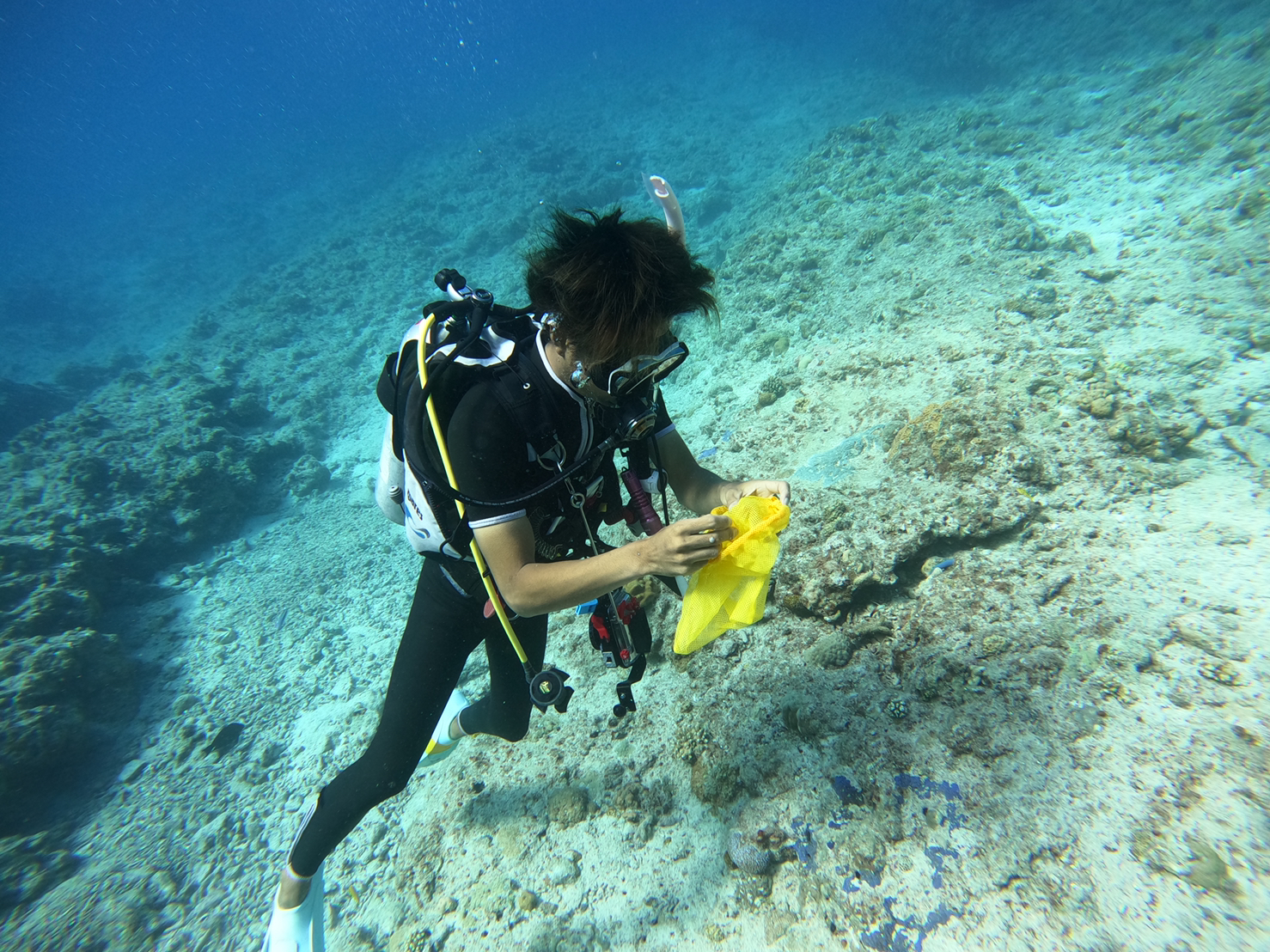
Survey Photos
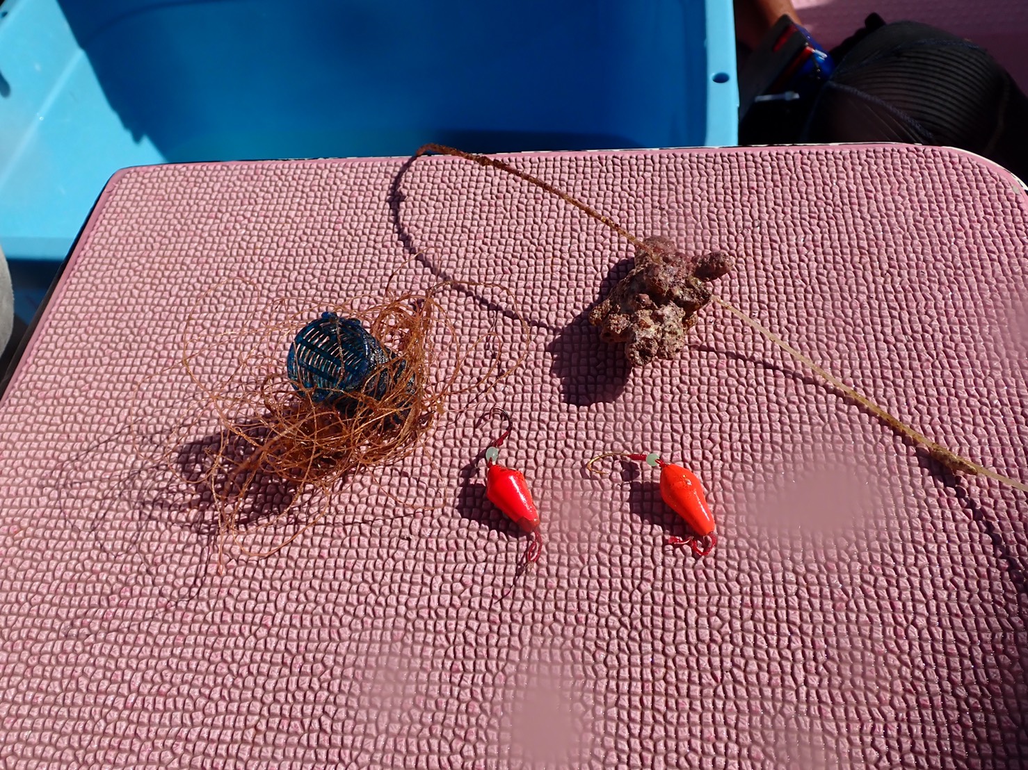
Debris Items Collected
| plastic materials collected | |
|---|---|
| Fishing: Line | 2 |
| Fishing: Lures, Rods/poles | 2 |
Additional Information
fish line


