
Dive Against Debris Data Submission
Machete
14 July, 2019
- Team Leader
- Cortney Benson
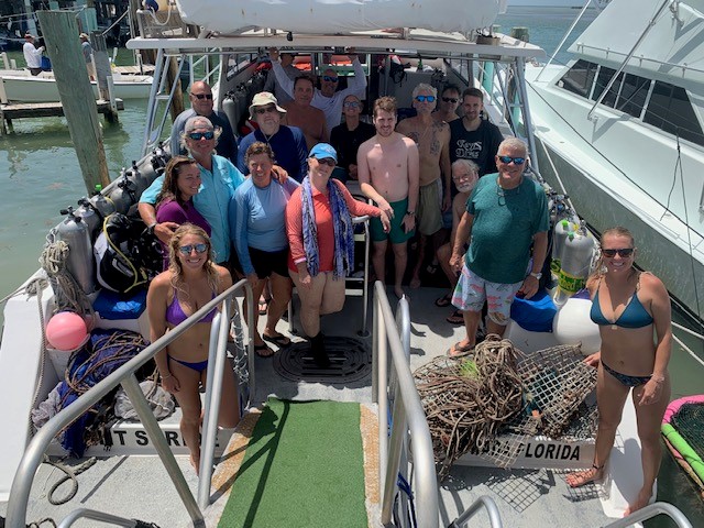
- Number of Participants
- 21
- Total Debris Collected
- 38 lbs (measured)
24.80083, -80.686188
Survey Information
- Location Name
- Machete
- Organization/Dive Centre
- Key Dives/FKNMS
- City
- Islamorada
- Country
- United States
- Date
- 14 July, 2019
- Survey Duration
- 45 Minutes
- GPS Coordinates
- Latitude: 24.80083
Longitude: -80.686188
- Weather Conditions
-
windy/stormy
- Survey Depth Range
- 50–75 feet
- Area Surveyed
- 50 m2
- Dominant Substrate
- coral
- Ecosystem
- coral reef
- Wave Conditions
- Moderate to rough for waves greater than 1.25 meters
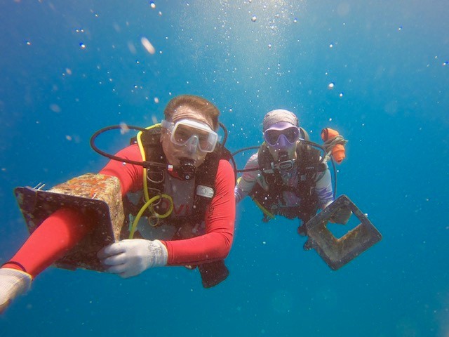
Survey Photos
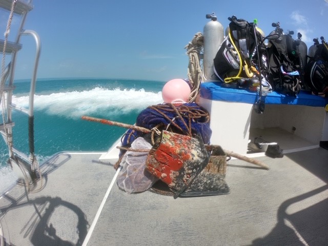
Debris Items Collected
| plastic materials collected | |
|---|---|
| Bags-grocery/retail (plastic) | 4 |
| Fishing: Line | 9 |
| Fishing: Lures, Rods/poles | 1 |
| metal materials collected | |
|---|---|
| Metal Fragments | 1 |
| Fishing: Traps & Pots | 2 |
| Fishing: Sinkers, Lures, Hooks | 5 |
| cloth materials collected | |
|---|---|
| Rope And String (cloth) | 10 |
Additional Information
Hurricane Irma, heave pressure on commercial fishing
metal pole
fishing line
anchor line
trap pieces


