
Dive Against Debris Data Submission
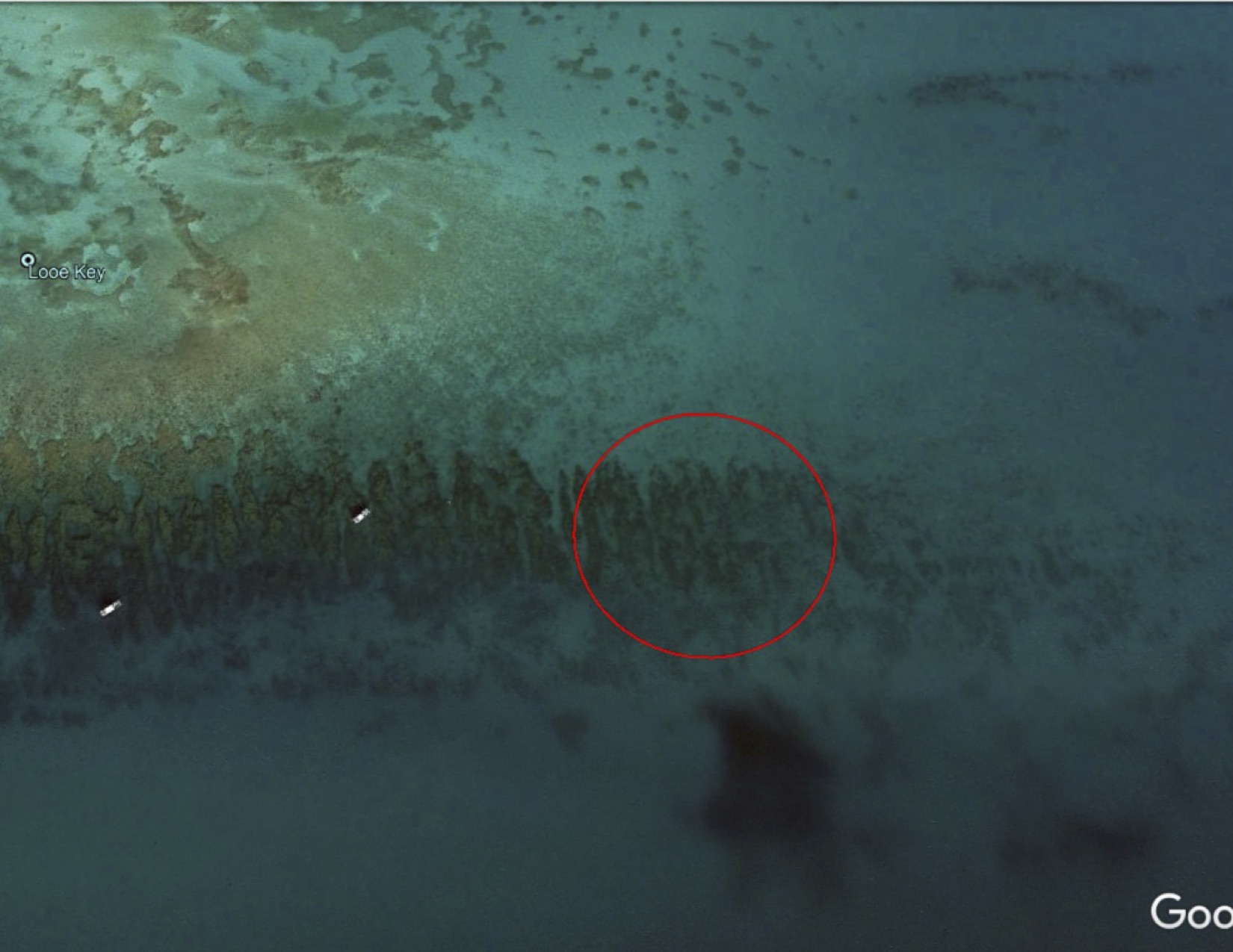
Looe Key SPA East
13 February, 2021
24.324925, -81.240068
Survey Information
- Location Name
- Looe Key SPA East
- Organization/Dive Centre
- DiveN2Life/Looe Key Dive Center/FKNMS/
- City
- Ramrod Key
- Country
- United States
- Date
- 13 February, 2021
- Survey Duration
- 150 Minutes
- GPS Coordinates
- Latitude: 24.324925
Longitude: -81.240068
- Weather Conditions
-
Sunny
- Survey Depth Range
- 10–28 feet
- Area Surveyed
- 140000 ft2
- Dominant Substrate
- rock
- Ecosystem
- coral reef
- Wave Conditions
- Slight for waves 0.5 -1.25 meter high
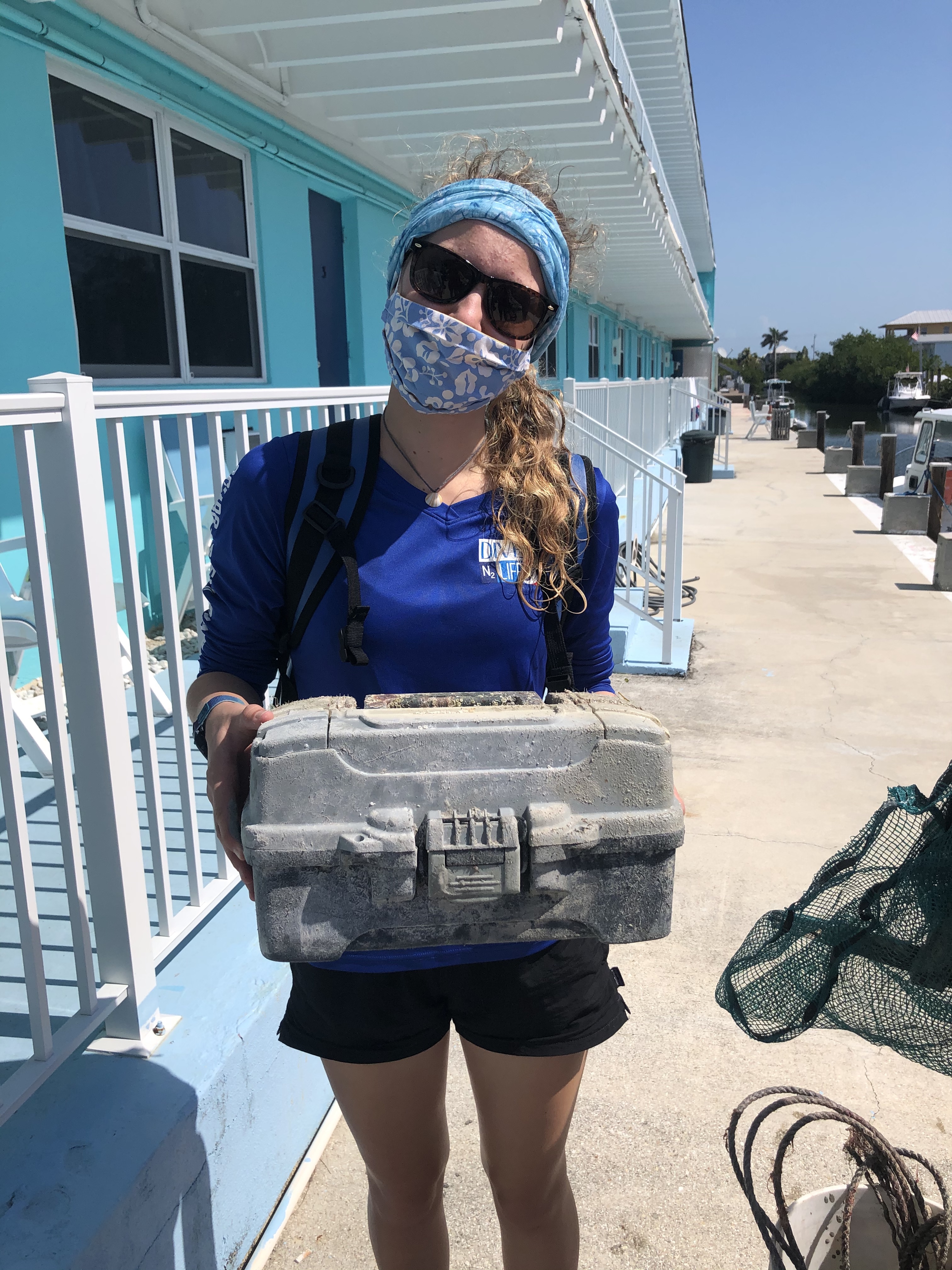
Survey Photos
Debris Items Collected
| plastic materials collected | |
|---|---|
| Bait Containers, Packaging | 1 |
| Caps & Lids (plastic) | 1 |
| Fishing: Line | 4 |
| Food Wrappers (plastic) | 1 |
| Rope (plastic/nylon) | 1 |
| metal materials collected | |
|---|---|
| Wire, Wire Mesh & Barbed Wire | 1 |
| wood materials collected | |
|---|---|
| Wood Fragments | 6 |
| cloth materials collected | |
|---|---|
| Rope And String (cloth) | 4 |
| Entangled Animals | |
|---|---|
| Crustaceans | |
| Species or Common Name | Crab |
| Number Entangled | 8 |
| Status | released unharmed |
| Type of Debris | Derelict Stone Crab Trap |
| Comments | The trap was found in the SPA. |
| Other Animals | |
| Species or Common Name | Brittle Sea Stars |
| Number Entangled | 5 |
| Status | released unharmed |
| Type of Debris | Derelict Trap |
| Comments | We also released a baby octopus from the trap. |
Additional Information
Tackle Box
Rope
Fishing Line


