
Dive Against Debris Data Submission
Las lajas
21 April, 2021
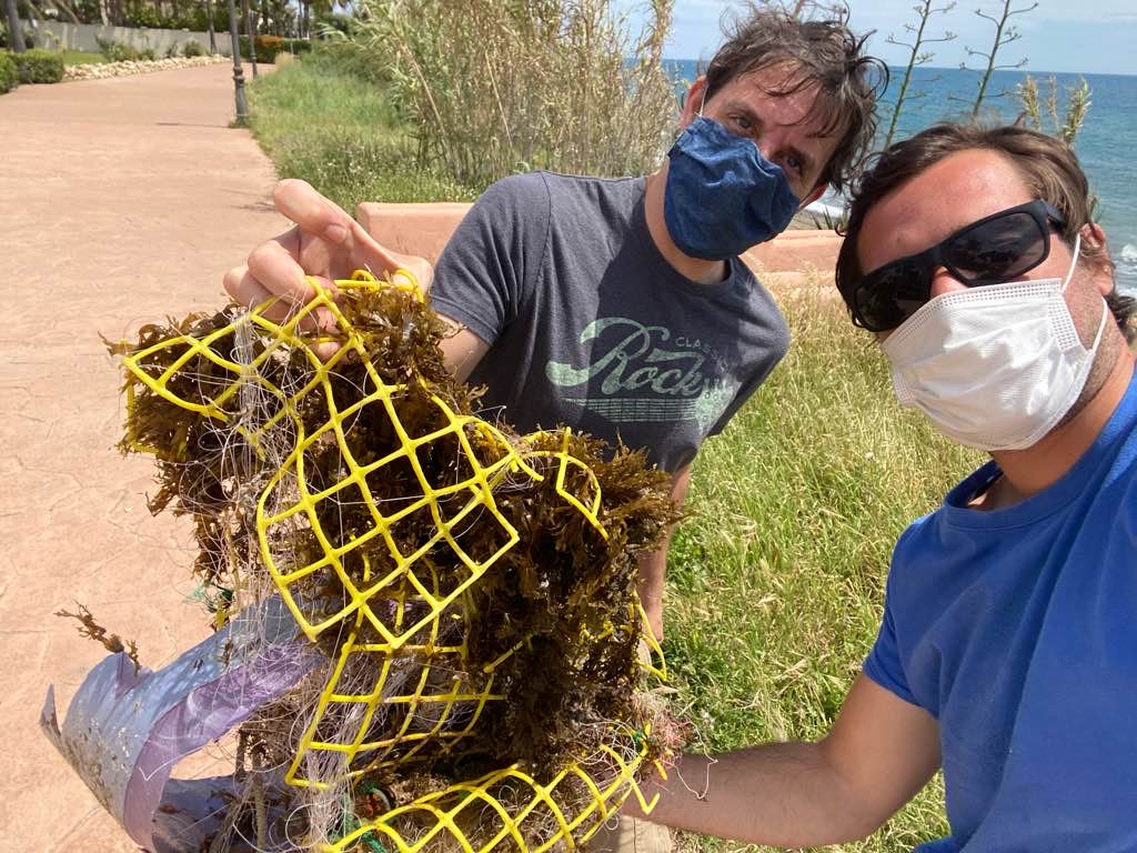
- Team Leader
- Kegan Reina Bixler
- Number of Participants
- 2
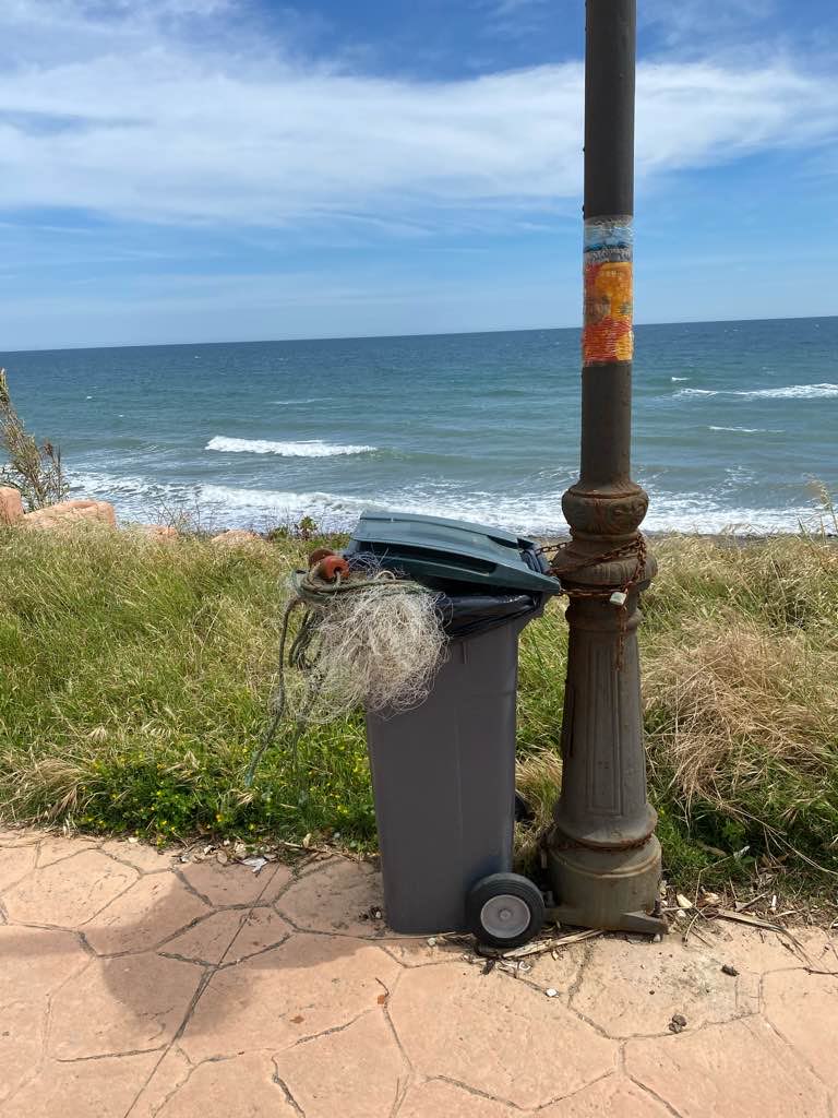
- Total Debris Collected
- 10 kgs (estimated)
36.432464254311, -5.1087482844694
Survey Information
- Location Name
- Las lajas
- Organization/Dive Centre
- Estepona Dive Center
- City
- Estepona
- Country
- Spain
- Date
- 21 April, 2021
- Survey Duration
- 75 Minutes
- GPS Coordinates
- Latitude: 36.432464254311
Longitude: -5.1087482844694
- Weather Conditions
-
Storms
- Survey Depth Range
- 0–0 meters
- Area Surveyed
- 9156.54 m2
- Dominant Substrate
- sand
- Ecosystem
- seagrass
- Wave Conditions
- Smooth (wavelets) for waves 0.1 - 0.5 meter high
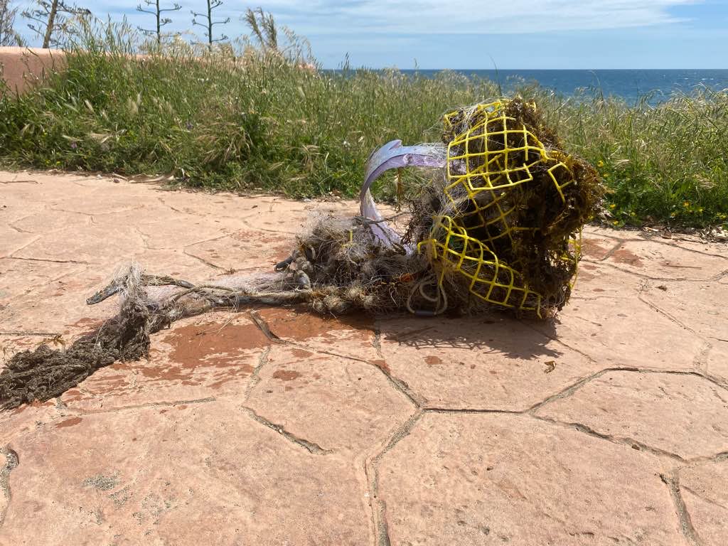
Survey Photos
Debris Items Collected
| plastic materials collected | |
|---|---|
| Buoys & Floats (plastic & Foamed) | 1 |
| Fishing: Lures, Rods/poles | 5 |
| Fishing: Nets & Pieces Of Nets | 5 |
| Rope (plastic/nylon) | 2 |
| Entangled Animals | |
|---|---|
| Other Fish | |
| Species or Common Name | Rascasio Stone Fish |
| Number Entangled | 1 |
| Status | injured |
| Type of Debris | Fishing line |
| Comments | Rascasio with fishing line. Cut most of the line but still injured |
Additional Information
Fishing
Phone
Fishing nets
Fishing lines
Fish traps


