
Dive Against Debris Data Submission
Indian point
16 January, 2021
- Team Leader
- Number of Participants
- 2
- Total Debris Collected
- 0.2 lbs (estimated)
44.632869706575, -63.934840608053
Survey Information
- Location Name
- Indian point
- Organization/Dive Centre
- Country
- Canada
- Date
- 16 January, 2021
- Survey Duration
- 45 Minutes
- GPS Coordinates
- Latitude: 44.632869706575
Longitude: -63.934840608053
- Weather Conditions
- Survey Depth Range
- 9–14 feet
- Area Surveyed
- 7018.76 m2
- Dominant Substrate
- sand
- Ecosystem
- other
- Wave Conditions
- Smooth (wavelets) for waves 0.1 - 0.5 meter high
Survey Photos
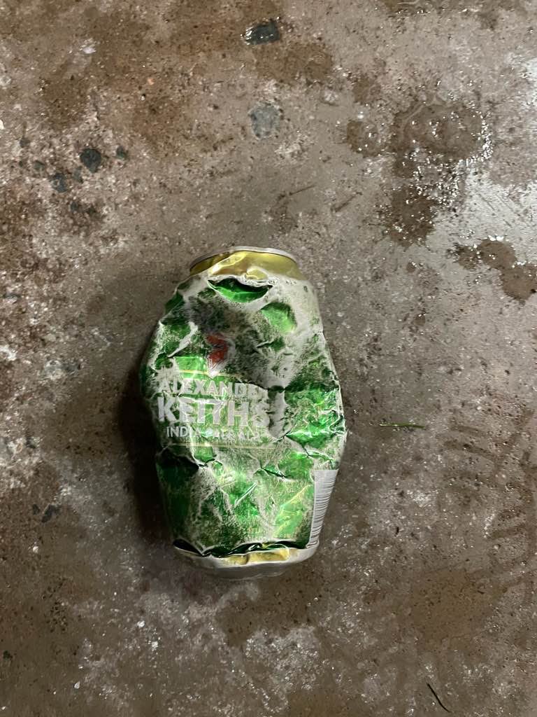
Debris Items Collected
| metal materials collected | |
|---|---|
| Cans: Food/juice, Other (tin) | 1 |


