
Dive Against Debris Data Submission
HMS Maori
12 July, 2022
- Team Leader
- Nadine
- Number of Participants
- 3
- Total Debris Collected
- 1 kgs (estimated)
35.899156485008, 14.518597617096
Survey Information
- Location Name
- HMS Maori
- Organization/Dive Centre
- Divewise
- City
- Valletta
- Country
- Malta
- Date
- 12 July, 2022
- Survey Duration
- 40 Minutes
- GPS Coordinates
- Latitude: 35.899156485008
Longitude: 14.518597617096
- Weather Conditions
-
Good
- Survey Depth Range
- 5–14 meters
- Area Surveyed
- 882 m2
- Dominant Substrate
- sand
- Ecosystem
- rocky reef
- Wave Conditions
- Calm (glassy to rippled) for waves 0 – 0.1 meter high
Survey Photos
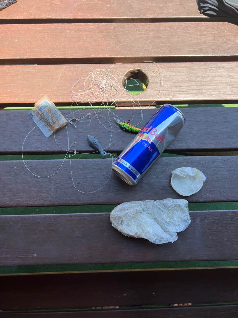
Debris Items Collected
| plastic materials collected | |
|---|---|
| Bags-grocery/retail (plastic) | 1 |
| Fishing: Lures, Rods/poles | 2 |
| metal materials collected | |
|---|---|
| Cans: Food/juice, Other (tin) | 1 |
| Fishing: Sinkers, Lures, Hooks | 1 |


