
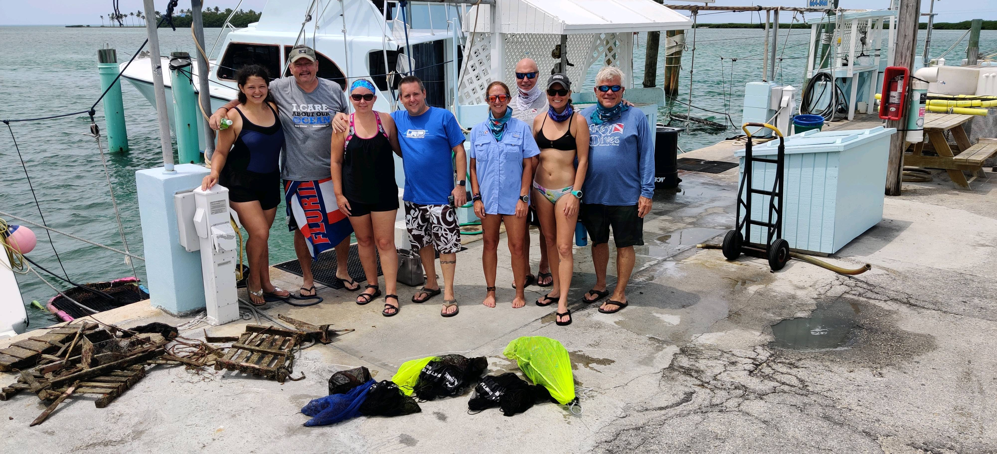
Dive Against Debris Data Submission
Fisherman's Folly
7 June, 2020
- Team Leader
- Cortney Benson
- Number of Participants
- 11
- Total Debris Collected
- 21 lbs (measured)
24.8382, -80.633133
Survey Information
- Location Name
- Fisherman's Folly
- Organization/Dive Centre
- FKNMS/ Key Dives
- City
- Islamorada
- Country
- United States
- Date
- 7 June, 2020
- Survey Duration
- 40 Minutes
- GPS Coordinates
- Latitude: 24.8382
Longitude: -80.633133
- Weather Conditions
-
Windy
- Survey Depth Range
- 35–45 feet
- Area Surveyed
- 50 m2
- Dominant Substrate
- sand
- Ecosystem
- coral reef
- Wave Conditions
- Slight for waves 0.5 -1.25 meter high
Survey Photos
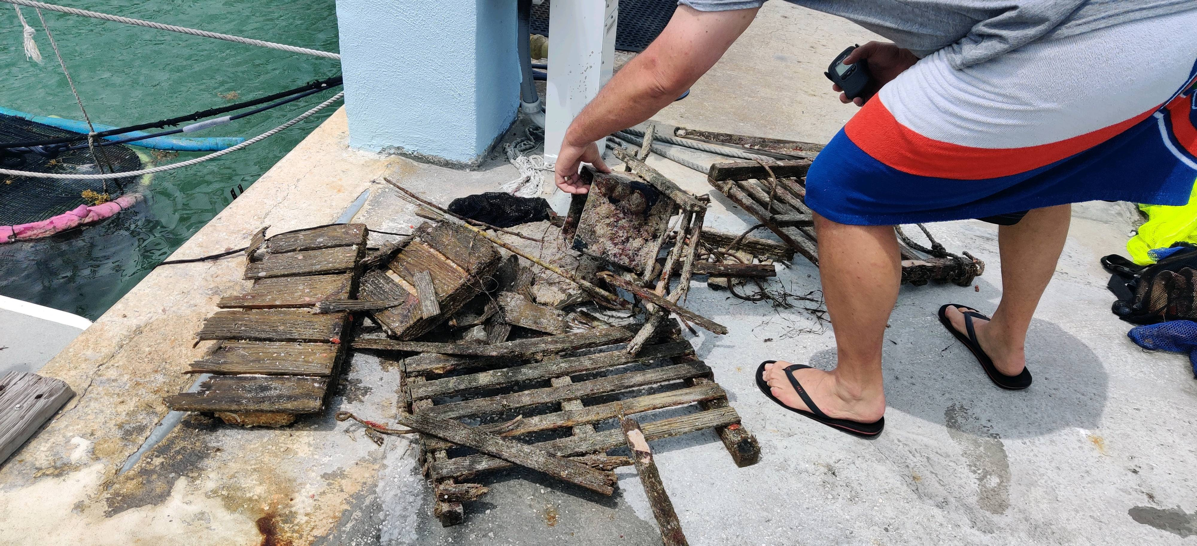
Debris Items Collected
| plastic materials collected | |
|---|---|
| Bags-grocery/retail (plastic) | 1 |
| Fishing: Line | 35 |
| Fishing: Lures, Rods/poles | 1 |
| Rope (plastic/nylon) | 7 |
| metal materials collected | |
|---|---|
| Fishing: Sinkers, Lures, Hooks | 15 |
| wood materials collected | |
|---|---|
| Wood Fragments | 3 |
| mixed materials collected | |
|---|---|
| Bricks, Cinderblocks & Chunks Of Cement | 1 |
Additional Information
Ongoing recreation and commercial fishing
Weight belt
Fishing line


