
Dive Against Debris Data Submission
Fahal Island
16 September, 2023
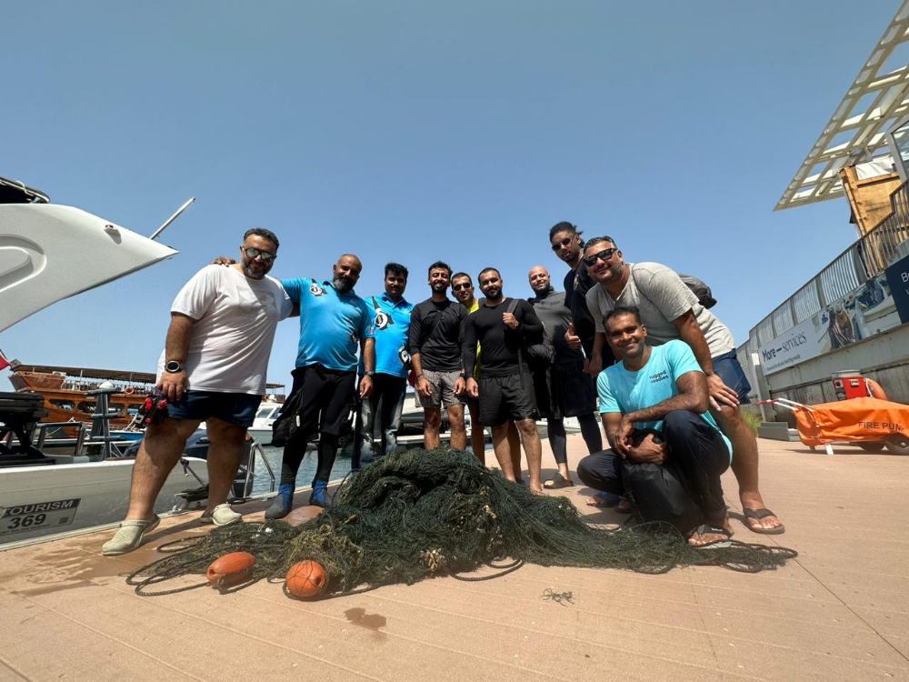
- Team Leader
- Behnaz Bani
- Number of Participants
- 10
- Total Debris Collected
- 10 kgs (estimated)
23.678986, 58.501562
Survey Information
- Location Name
- Fahal Island
- Organization/Dive Centre
- Omanta Scuba
- City
- Muscat
- Country
- Oman
- Date
- 16 September, 2023
- Survey Duration
- 50 Minutes
- GPS Coordinates
- Latitude: 23.678986
Longitude: 58.501562
- Weather Conditions
-
Calm
- Survey Depth Range
- 5–10 meters
- Area Surveyed
- 12394 m2
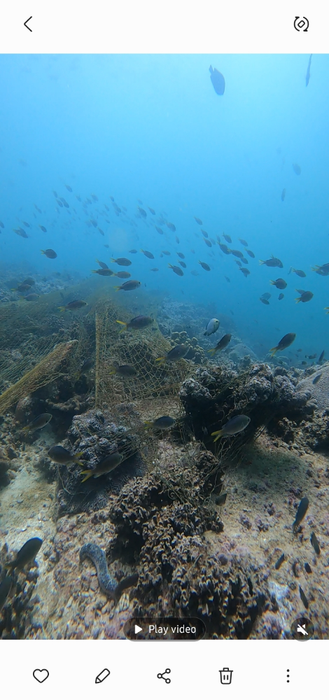
- Dominant Substrate
- coral
- Ecosystem
- coral reef
- Wave Conditions
- Smooth (wavelets) for waves 0.1 - 0.5 meter high
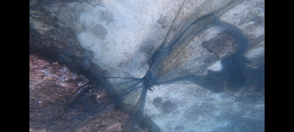
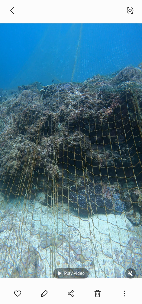
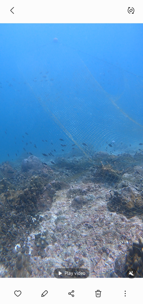
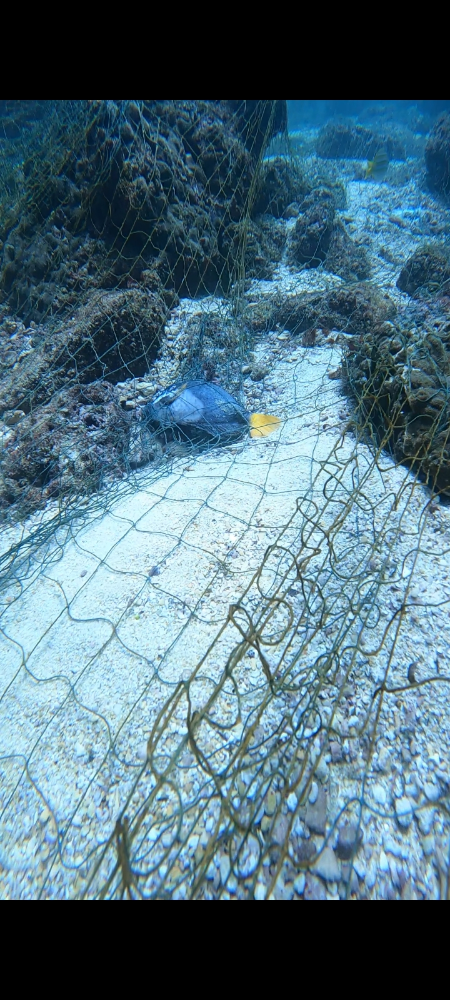
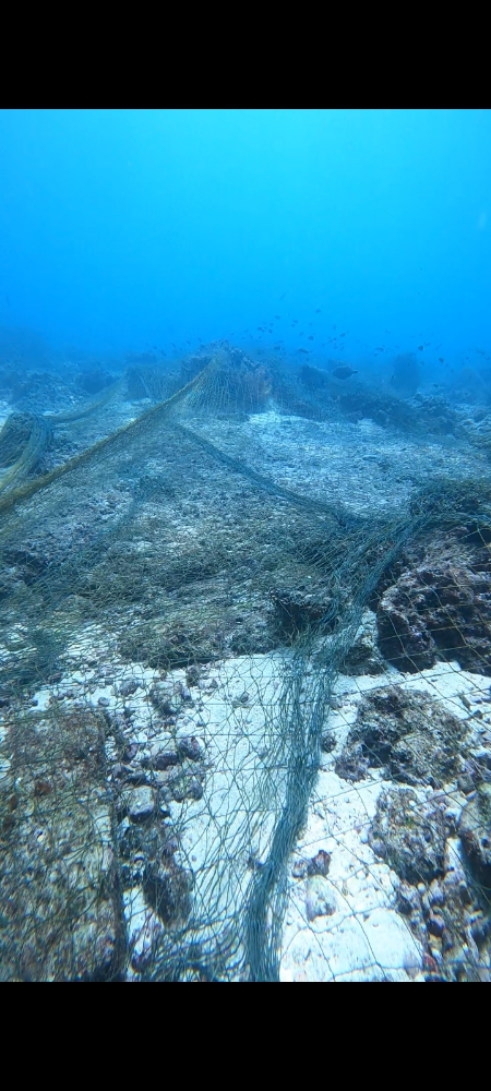
Survey Photos
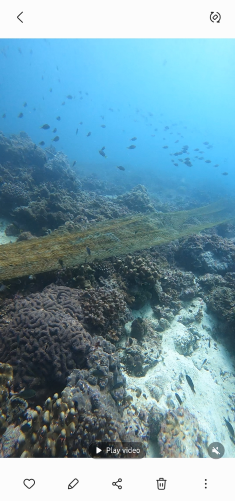
Debris Items Collected
| plastic materials collected | |
|---|---|
| Buoys & Floats (plastic & Foamed) | 10 |
| Fishing: Nets & Pieces Of Nets | 1 |
| cloth materials collected | |
|---|---|
| Rope And String (cloth) | 2 |
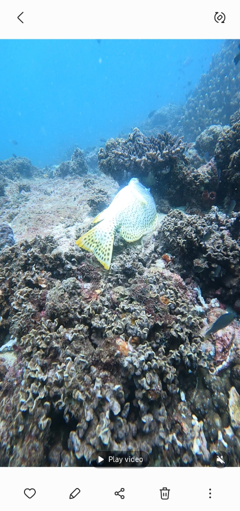
| Entangled Animals | |
|---|---|
| Other Fish | |
| Species or Common Name | Trigger Fish, Yellow Dotted |
| Number Entangled | 5 |
| Status | dead |
| Type of Debris | Fish net |
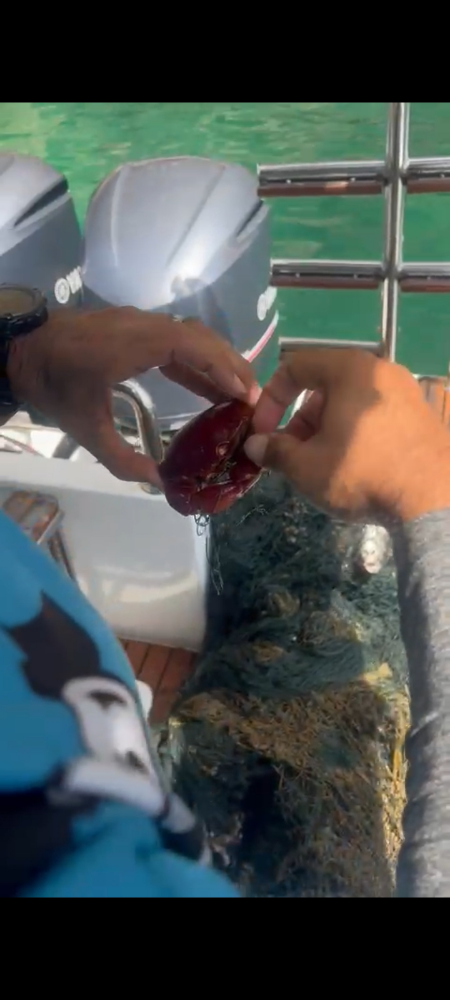
| Crustaceans | |
| Species or Common Name | Red Crab |
| Number Entangled | 1 |
| Status | released unharmed |
| Type of Debris | Fish net |
Additional Information
Fish net
Fish line
Rope


