
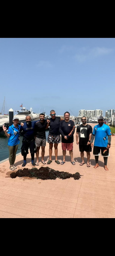
Dive Against Debris Data Submission
Fahal Island
1 September, 2023
- Team Leader
- Behnaz Bani
- Number of Participants
- 6
- Total Debris Collected
- 10 kgs (estimated)
23.678986, 58.501562
Survey Information
- Location Name
- Fahal Island
- Organization/Dive Centre
- Omanta Scuba
- City
- Muscat
- Country
- Oman
- Date
- 1 September, 2023
- Survey Duration
- 45 Minutes
- GPS Coordinates
- Latitude: 23.678986
Longitude: 58.501562
- Weather Conditions
-
Wave
- Survey Depth Range
- 5–10 meters
- Area Surveyed
- 12394.3 m2
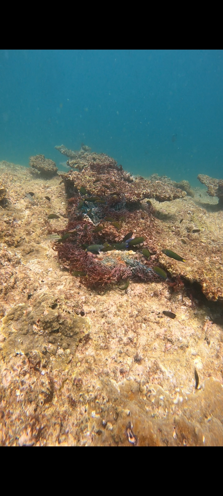
- Dominant Substrate
- coral
- Ecosystem
- coral reef
- Wave Conditions
- Smooth (wavelets) for waves 0.1 - 0.5 meter high
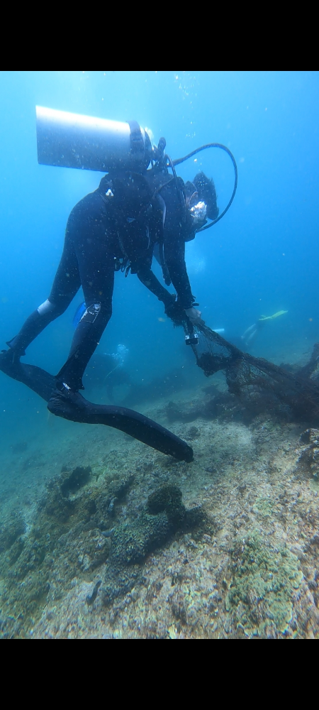
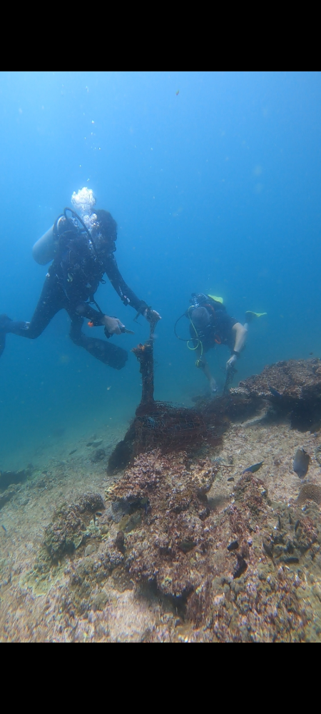
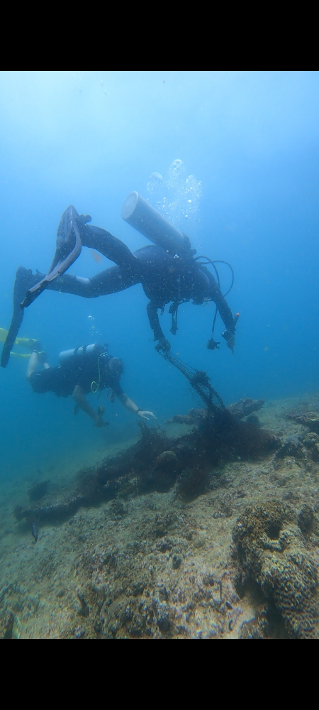
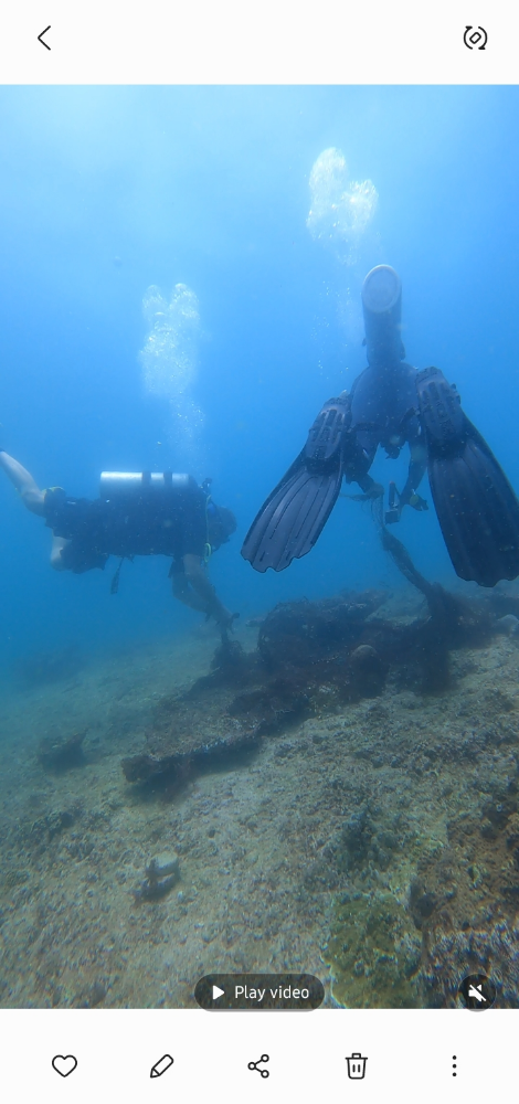
Survey Photos
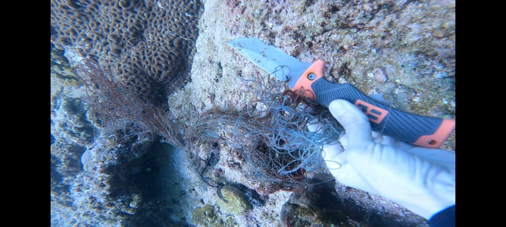
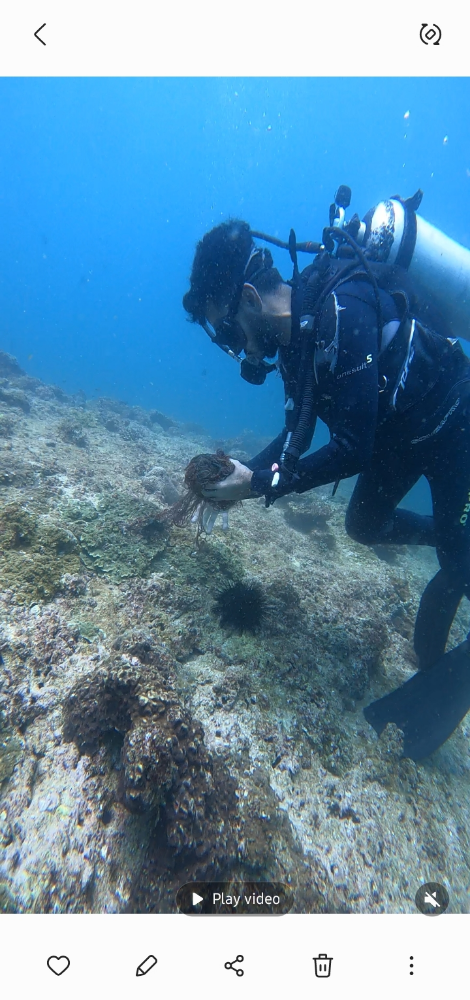
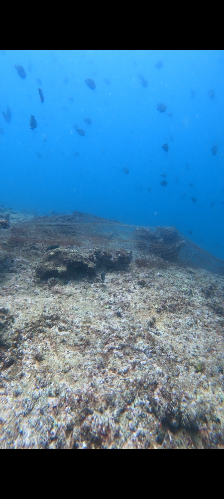
Debris Items Collected
| plastic materials collected | |
|---|---|
| Fishing: Line | 3 |
| Fishing: Lures, Rods/poles | 1 |
| Fishing: Nets & Pieces Of Nets | 1 |
| Rope (plastic/nylon) | 2 |
| metal materials collected | |
|---|---|
| SCUBA Weights | 5 |
| Fishing: Sinkers, Lures, Hooks | 3 |
| cloth materials collected | |
|---|---|
| Rope And String (cloth) | 1 |
| Towels/rags | 2 |
| Cloth Fragments | 1 |
Additional Information
Over fishing
Fish line and net
Coating the corals and bleach them
Tangled up fishes
Break the corals


