
Dive Against Debris Data Submission
Davis Ledge #2
14 April, 2021
- Team Leader
- Sea Base
- Number of Participants
- 9
- Total Debris Collected
- 90 lbs (estimated)
24.5534, -80.3033
Survey Information
- Location Name
- Davis Ledge #2
- Organization/Dive Centre
- Sea Base/FKNMS
- City
- Islamorada
- Country
- United States
- Date
- 14 April, 2021
- Survey Duration
- 40 Minutes
- GPS Coordinates
- Latitude: 24.5534
Longitude: -80.3033
- Weather Conditions
- Survey Depth Range
- 20–25 feet
- Area Surveyed
- 10000 ft2
- Dominant Substrate
- sand
- Ecosystem
- coral reef
- Wave Conditions
- Calm (glassy to rippled) for waves 0 – 0.1 meter high
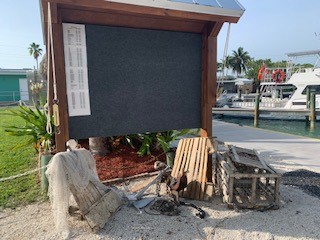
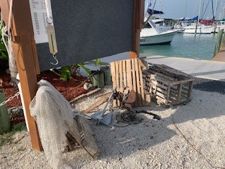
Survey Photos
Debris Items Collected
| plastic materials collected | |
|---|---|
| Fishing: Line | 1 |
| metal materials collected | |
|---|---|
| Fishing: Sinkers, Lures, Hooks | 2 |
| wood materials collected | |
|---|---|
| Wood Fragments | 1 |
| Fishing: Traps & Pots | 2 |


