
Dive Against Debris Data Submission
Davis Ledge #2
6 April, 2021
- Team Leader
- Sea Base
- Number of Participants
- 9
- Total Debris Collected
- 1 lbs (estimated)
24.92233333, -80.5055
Survey Information
- Location Name
- Davis Ledge #2
- Organization/Dive Centre
- Sea Base/FKNMS
- City
- Islamorada
- Country
- United States
- Date
- 6 April, 2021
- Survey Duration
- 38 Minutes
- GPS Coordinates
- Latitude: 24.92233333
Longitude: -80.5055
- Weather Conditions
-
Mild Wind
- Survey Depth Range
- 10–25 feet
- Area Surveyed
- 7500 ft2
- Dominant Substrate
- coral
- Ecosystem
- coral reef
- Wave Conditions
- Slight for waves 0.5 -1.25 meter high
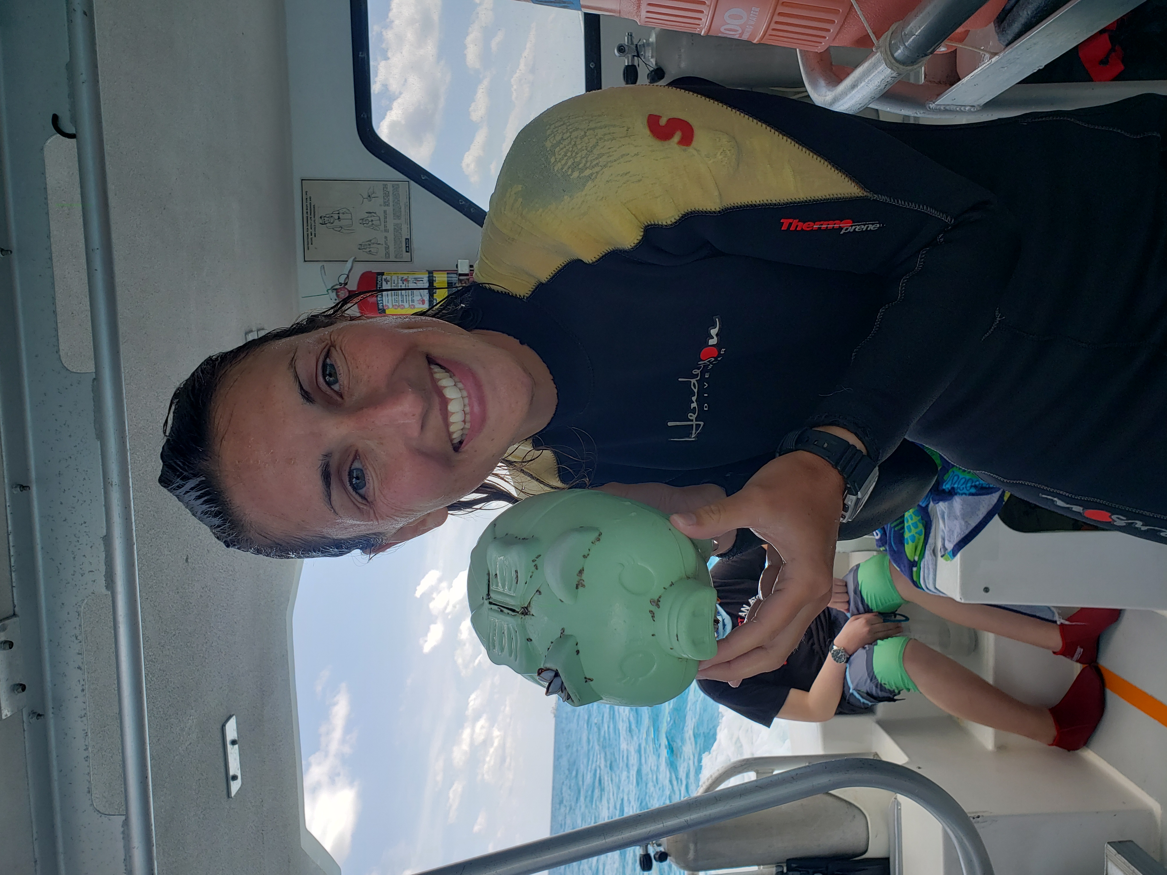
Survey Photos
Debris Items Collected
| plastic materials collected | |
|---|---|
| Containers: Fast Food, Lunch Boxes & Similar | 1 |
Additional Information
Plastic Piggy Bank.


