
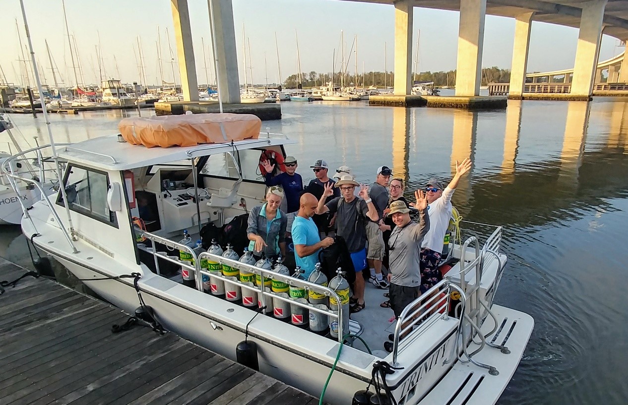
Dive Against Debris Data Submission
Comanche Wreck
8 September, 2019
- Team Leader
- Michelle Taliercio
- Number of Participants
- 10
- Total Debris Collected
- 20 lbs (estimated)
31.964552218213, -76.911670418274
Survey Information
- Location Name
- Comanche Wreck
- Organization/Dive Centre
- Charleston Scuba
- City
- Charleston
- Country
- United States
- Date
- 8 September, 2019
- Survey Duration
- 25 Minutes
- GPS Coordinates
- Latitude: 31.964552218213
Longitude: -76.911670418274
- Weather Conditions
-
Hurricane Dorian passed 50 miles Offshore 3 days earlier as a Category 2
- Survey Depth Range
- 90–100 feet
- Area Surveyed
- 2000 ft2
- Dominant Substrate
- metal
- Ecosystem
- Ship wreck
- Wave Conditions
- Moderate to rough for waves greater than 1.25 meters
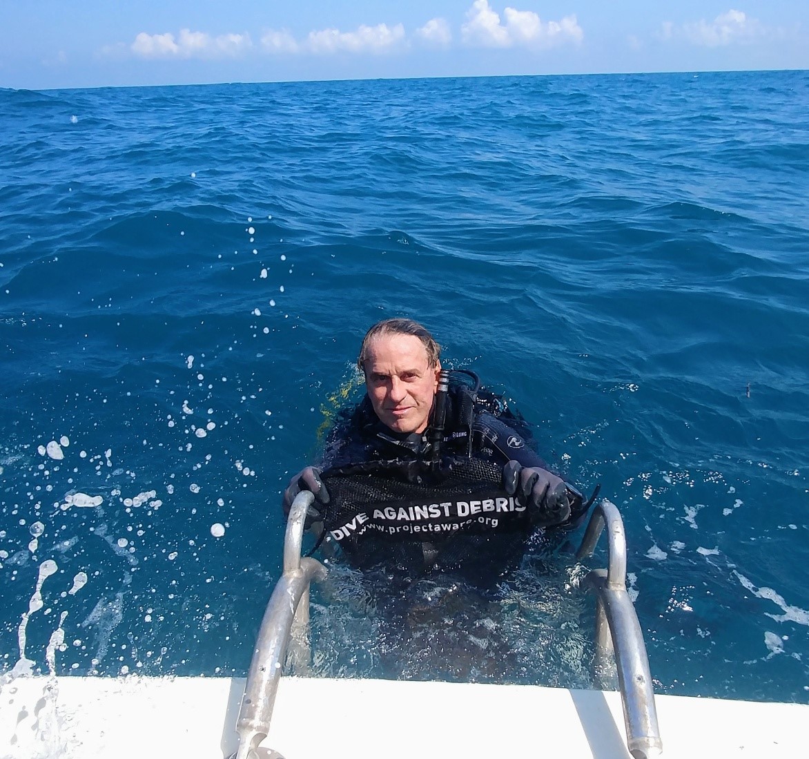
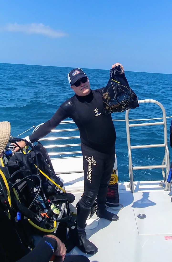
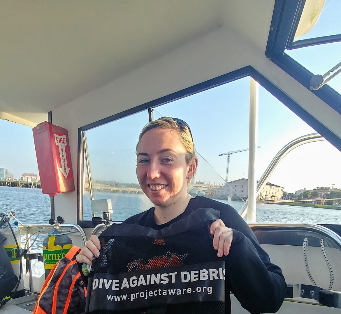
Survey Photos
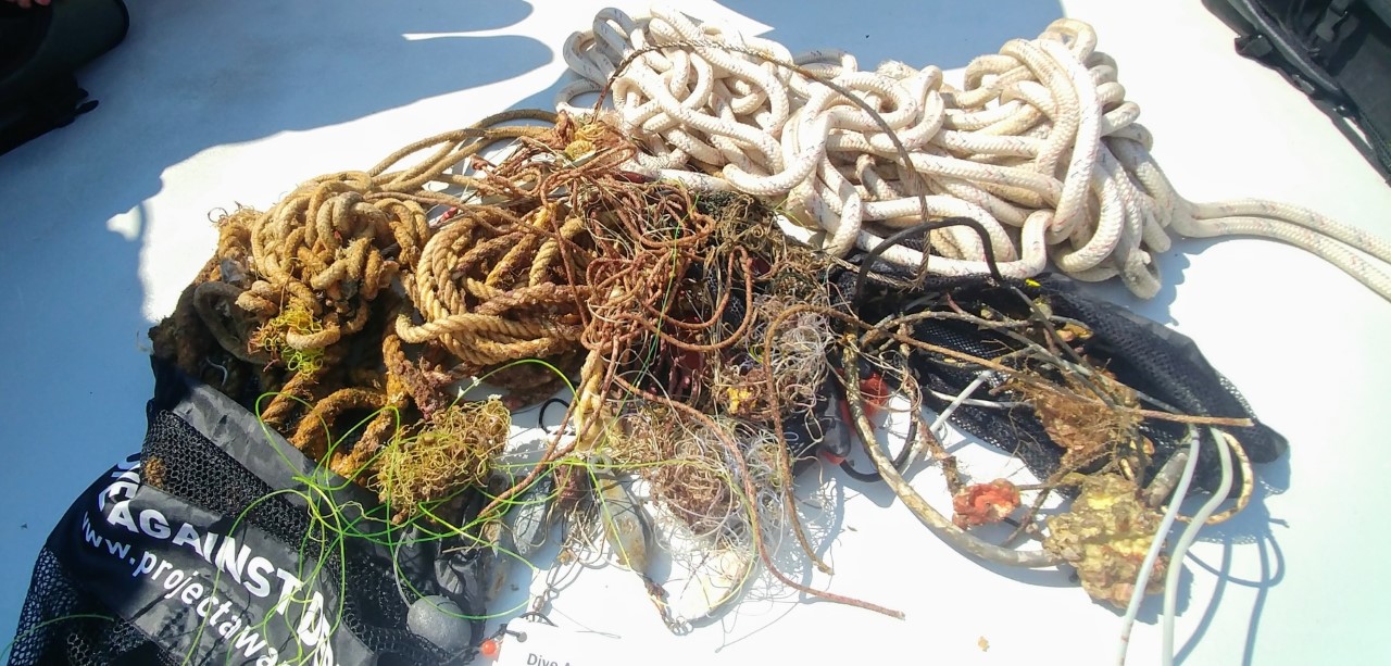
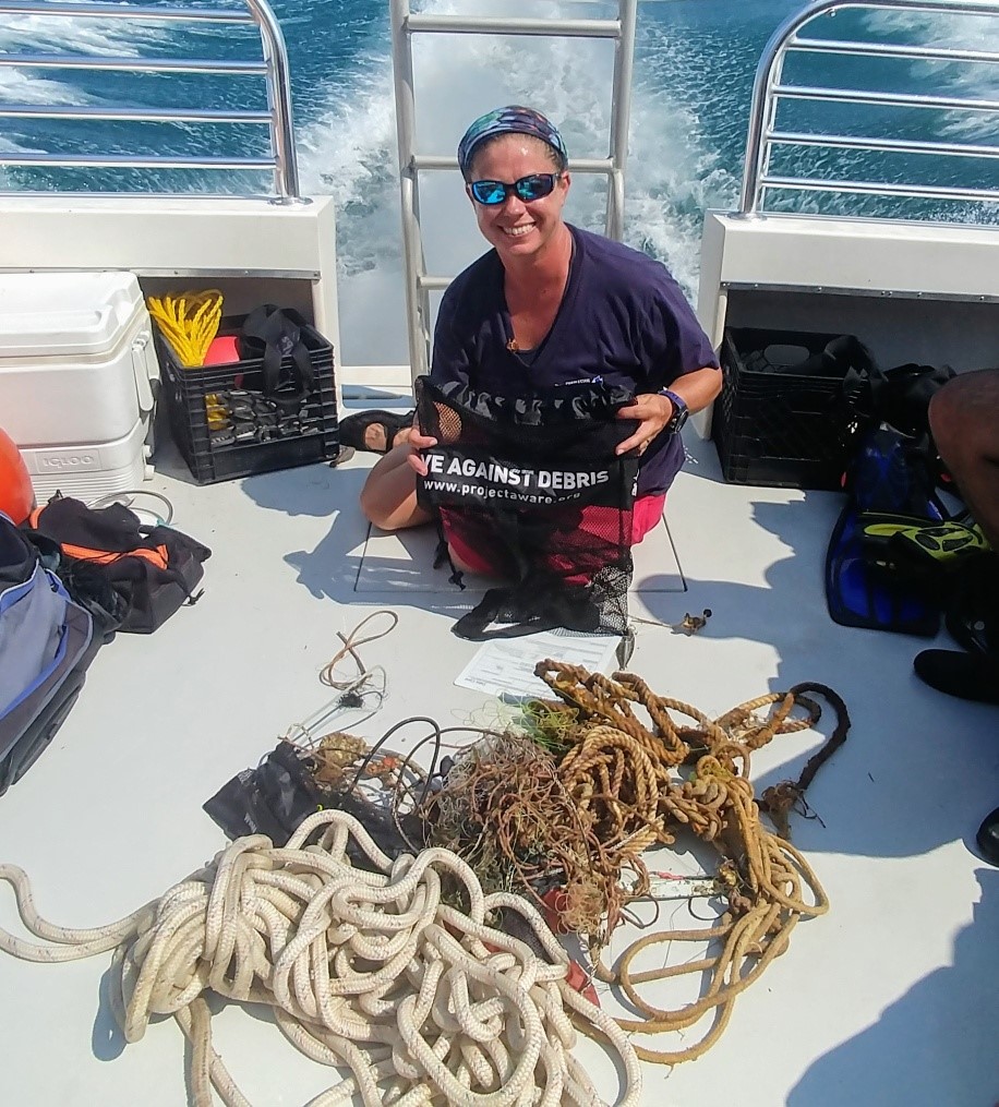
Debris Items Collected
| plastic materials collected | |
|---|---|
| Balloons | 1 |
| Rope (plastic/nylon) | 3 |
| metal materials collected | |
|---|---|
| Wire, Wire Mesh & Barbed Wire | 1 |
| Fishing: Sinkers, Lures, Hooks | 15 |
| cloth materials collected | |
|---|---|
| Rope And String (cloth) | 3 |
| Entangled Animals | |
|---|---|
| Other Fish | |
| Species or Common Name | Red Snapper |
| Number Entangled | 1 |
| Status | dead |
| Type of Debris | none |
| Comments | hanging in wheel hose by fishing line |
Additional Information
recreational fishing
fishing gear


