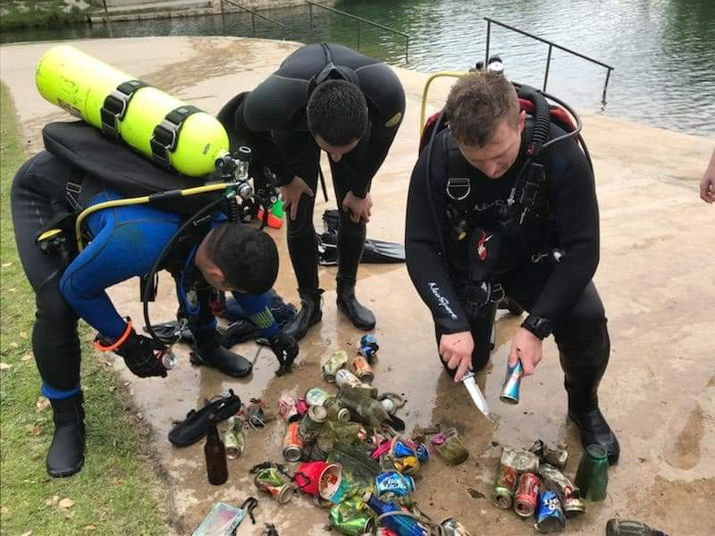
Dive Against Debris Data Submission
COMAL RIVER
18 March, 2019
- Team Leader
- Michael Gantt
- Number of Participants
- 15
- Total Debris Collected
- 20 lbs (measured)
29.708017, -98.123641
Survey Information
- Location Name
- COMAL RIVER
- Organization/Dive Centre
- Country
- United States
- Date
- 18 March, 2019
- Survey Duration
- 60 Minutes
- GPS Coordinates
- Latitude: 29.708017
Longitude: -98.123641
- Weather Conditions
- Survey Depth Range
- 5–20 feet
- Area Surveyed
- 44447.9 ft2
- Dominant Substrate
- sand
- Ecosystem
- seagrass
- Wave Conditions
- Calm (glassy to rippled) for waves 0 – 0.1 meter high
Survey Photos
Debris Items Collected
| plastic materials collected | |
|---|---|
| Bags-grocery/retail (plastic) | 1 |
| Beverage Bottles: Less Than 2 Litres (plastic) | 10 |
| Caps & Lids (plastic) | 6 |
| Cigarette Lighters | 2 |
| Cups, Plates, Forks, Knives, Spoons (plastic) | 4 |
| Six-pack Rings, Ring Carriers | 4 |
| Straws, Stirrers | 2 |
| glass materials collected | |
|---|---|
| Beverage Bottles (glass) | 7 |
| metal materials collected | |
|---|---|
| Beverage Cans (aluminium) | 10 |
| Caps & Lids (metal) | 10 |


