
Dive Against Debris Data Submission
Carlisle Bay
14 August, 2024
- Team Leader
- Robert Bourne
- Number of Participants
- 8
- Total Debris Collected
- 0 lbs (estimated)
13.086801, -59.612211
Survey Information
- Location Name
- Carlisle Bay
- Organization/Dive Centre
- Coast 2 Coast Adventures
- Country
- Barbados
- Date
- 14 August, 2024
- Survey Duration
- 45 Minutes
- GPS Coordinates
- Latitude: 13.086801
Longitude: -59.612211
- Weather Conditions
-
Tropical depression and good weather
- Survey Depth Range
- 15–40 feet
- Area Surveyed
- 43023 ft2
- Dominant Substrate
- sand
- Ecosystem
- coral reef
- Wave Conditions
- Smooth (wavelets) for waves 0.1 - 0.5 meter high
Survey Photos
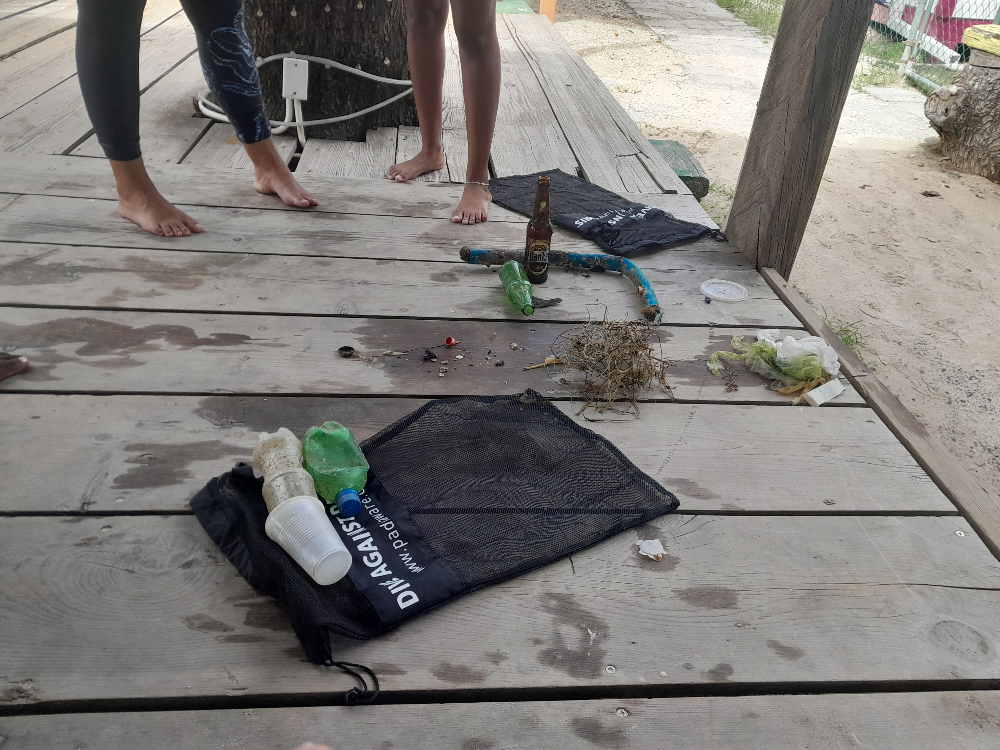
Debris Items Collected
Additional Information
Regular use
Sparkler botom
Fishing line


