
Dive Against Debris Data Submission
Carlisle Bay
14 August, 2024
- Team Leader
- Robert Bourne
- Number of Participants
- 8
- Total Debris Collected
- 0 kgs (measured)
13.086365314491, -59.611556199833
Survey Information
- Location Name
- Carlisle Bay
- Organization/Dive Centre
- Hightide Watersports
- City
- Bridgetown
- Country
- Barbados
- Date
- 14 August, 2024
- Survey Duration
- 40 Minutes
- GPS Coordinates
- Latitude: 13.086365314491
Longitude: -59.611556199833
- Weather Conditions
-
Rainy with Mild Chop
- Survey Depth Range
- 8–13 meters
- Area Surveyed
- 393.21 m2
- Dominant Substrate
- sand
- Ecosystem
- seagrass
- Wave Conditions
- Calm (glassy to rippled) for waves 0 – 0.1 meter high
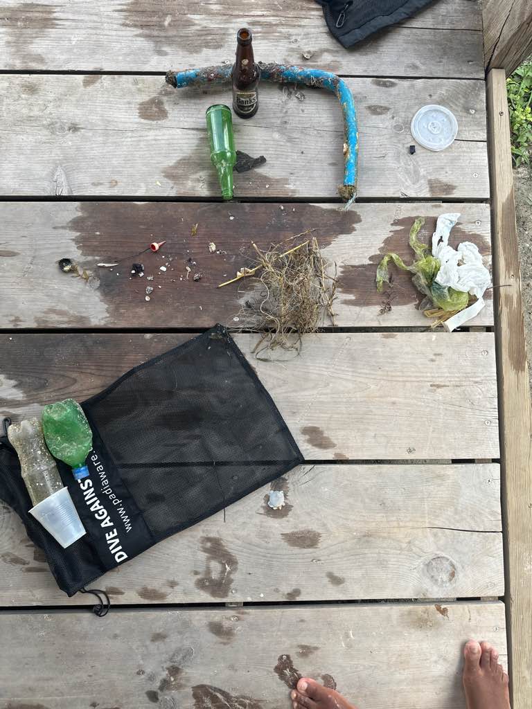
Survey Photos
Debris Items Collected
Additional Information
Hurricane Beryl
Sparkler


