
Dive Against Debris Data Submission
Bournemouth Pier
20 August, 2021
- Team Leader
- Emma Wilkinson
- Number of Participants
- 3
- Total Debris Collected
- 15 kgs (estimated)
50.7138, -1.8745
Survey Information
- Location Name
- Bournemouth Pier
- Organization/Dive Centre
- City
- Bournemouth
- Country
- United Kingdom
- Date
- 20 August, 2021
- Survey Duration
- 60 Minutes
- GPS Coordinates
- Latitude: 50.7138
Longitude: -1.8745
- Weather Conditions
-
windy and varied
- Survey Depth Range
- 4–5 meters
- Area Surveyed
- 500 m2
- Dominant Substrate
- sand
- Ecosystem
- Man made structure
- Wave Conditions
- Smooth (wavelets) for waves 0.1 - 0.5 meter high
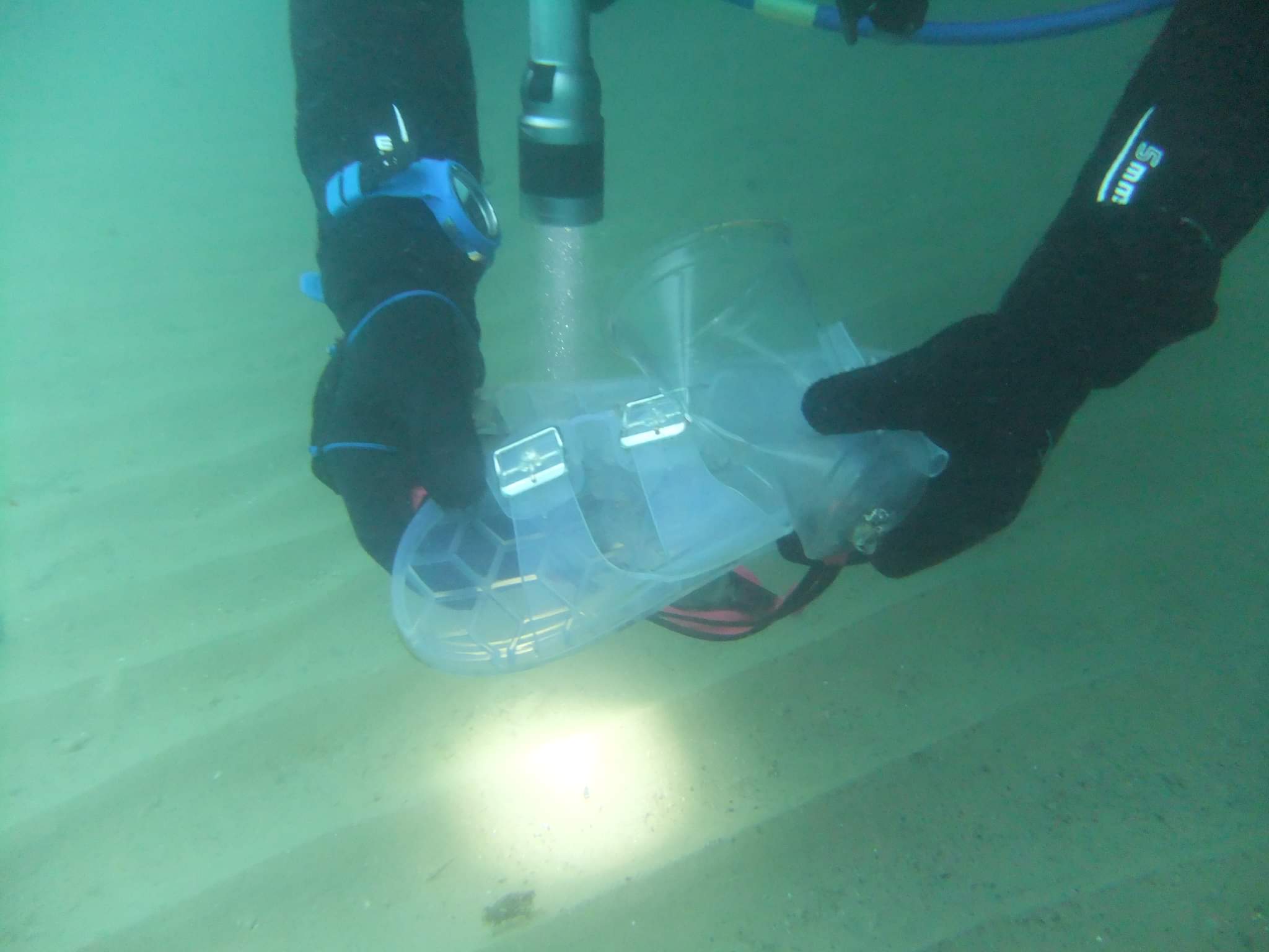
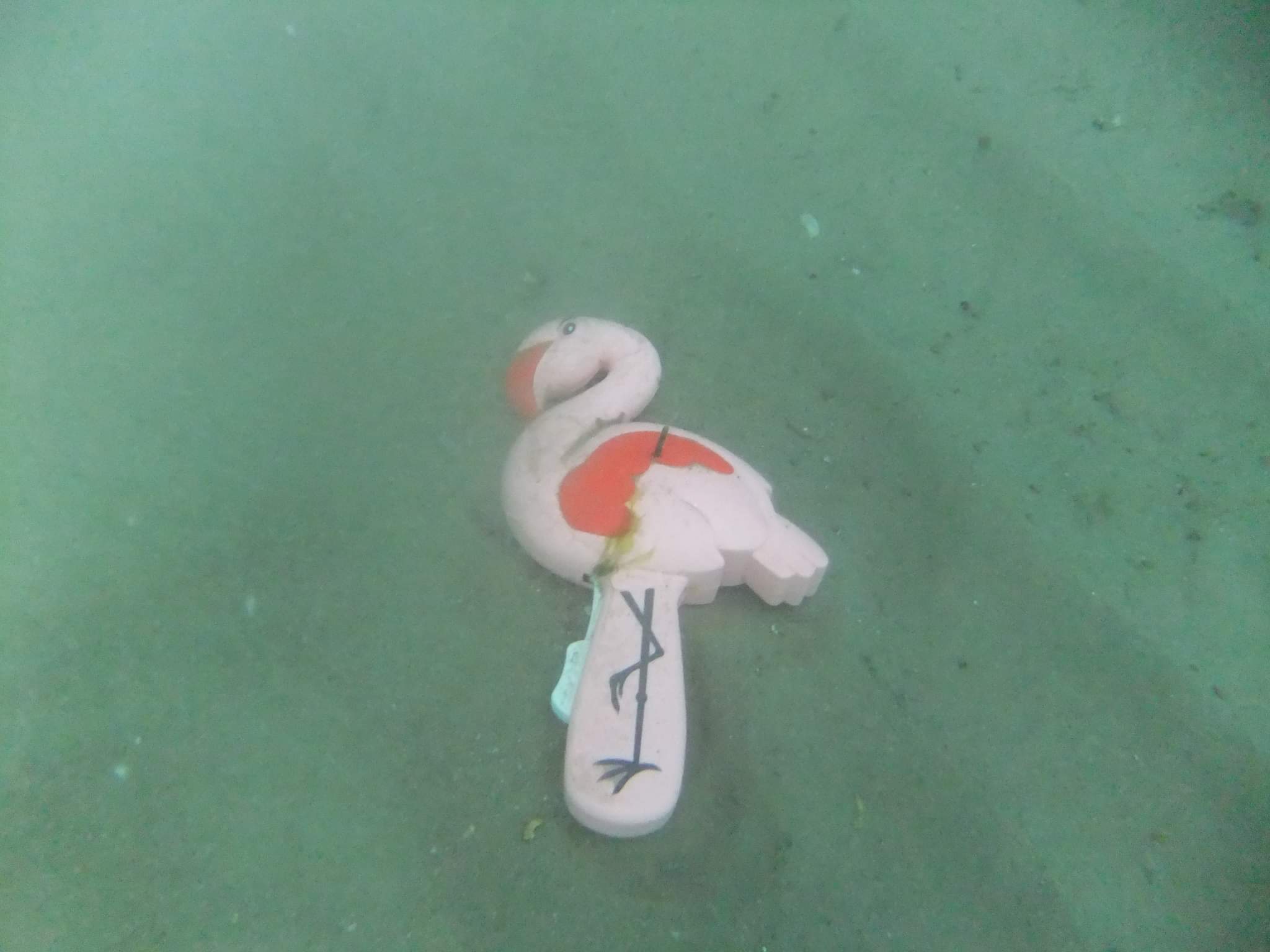
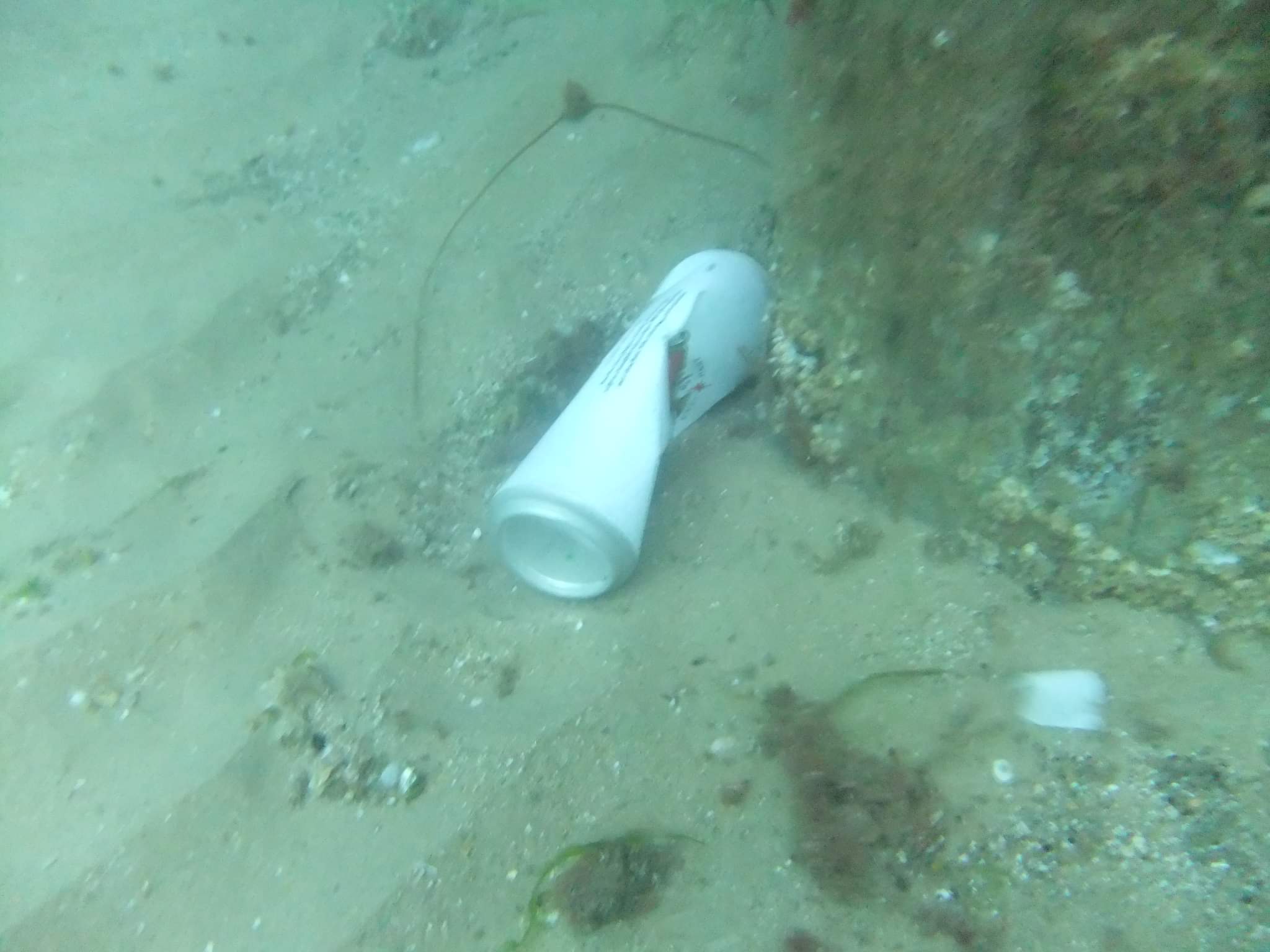
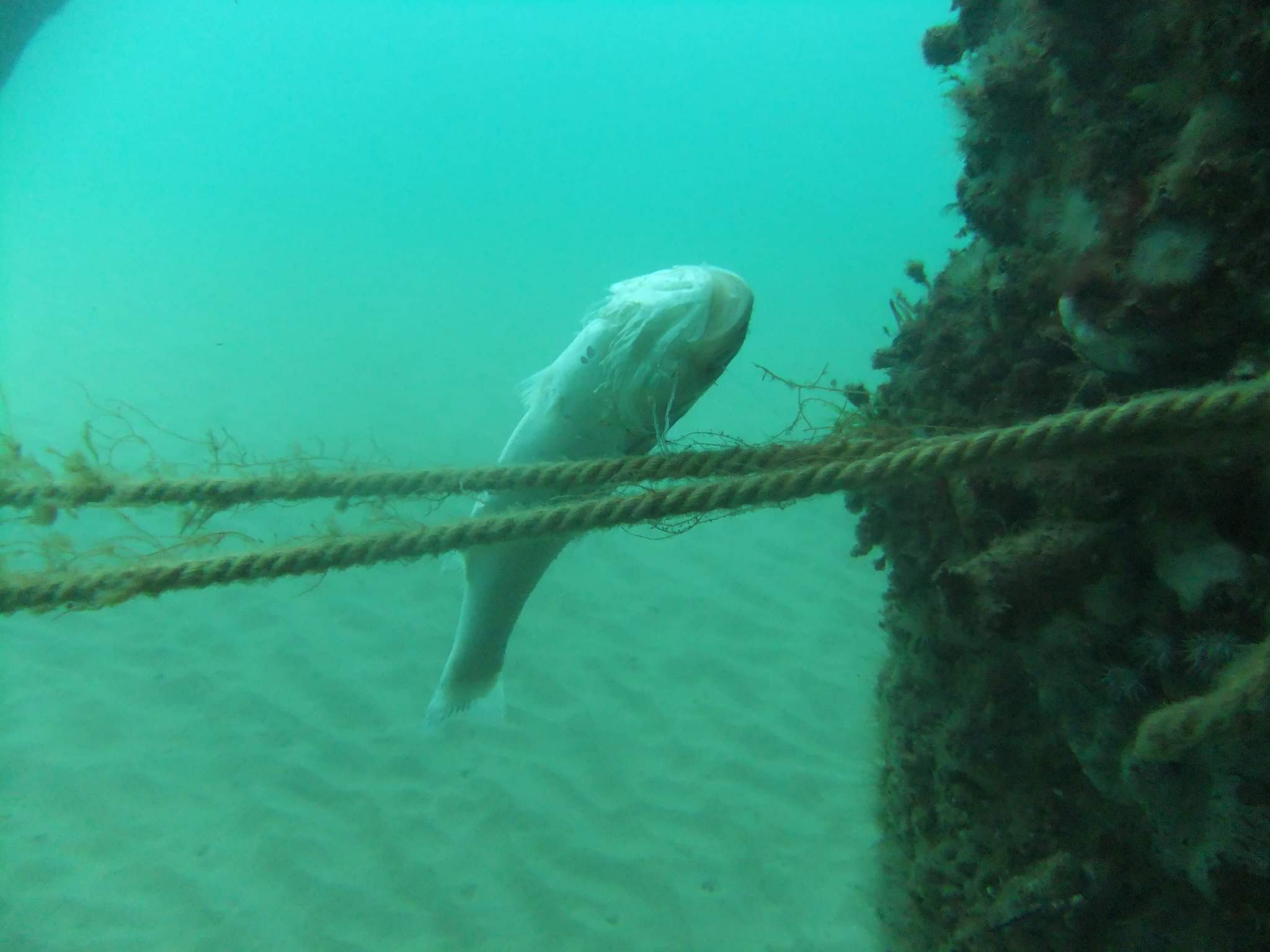
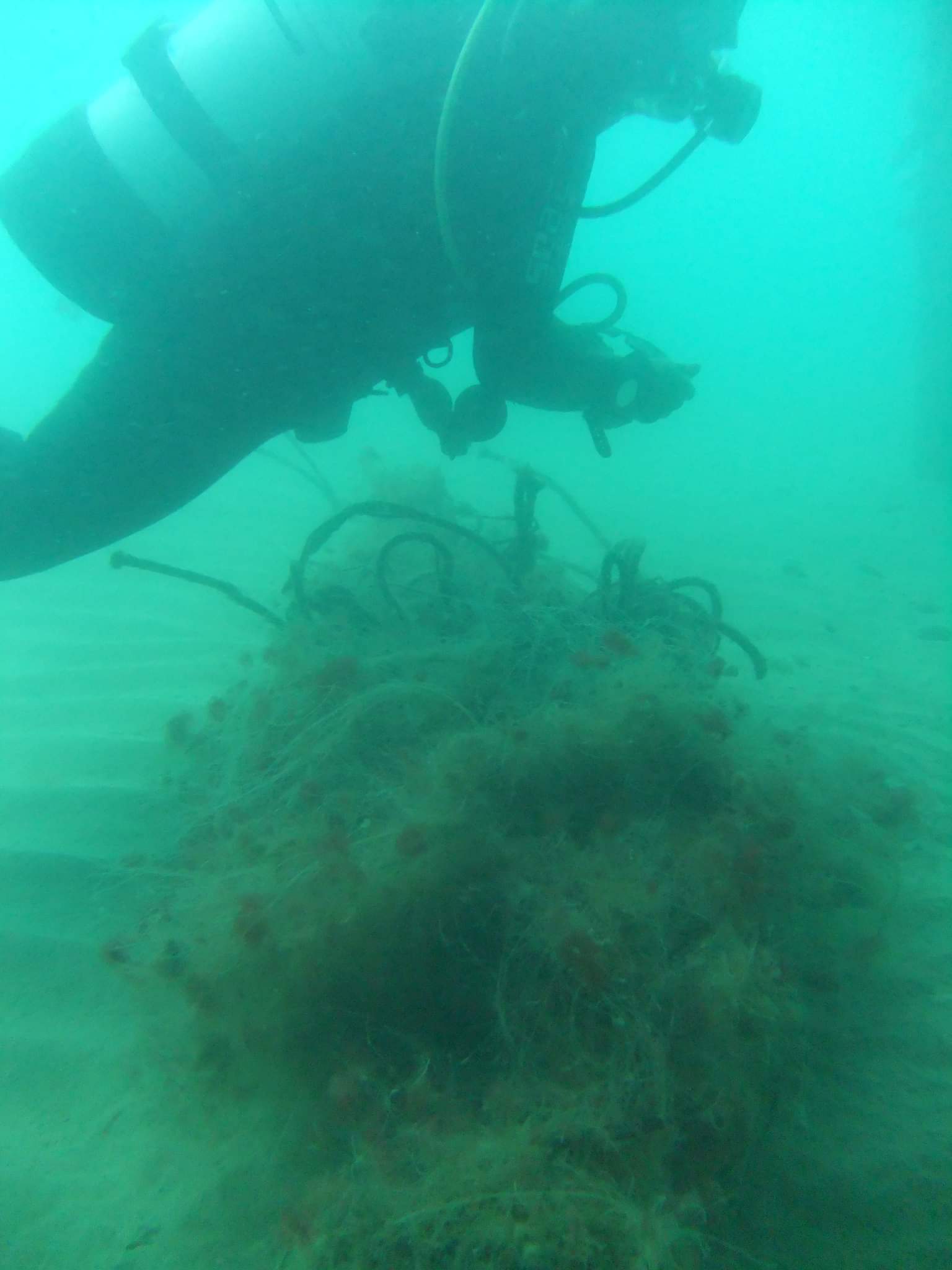
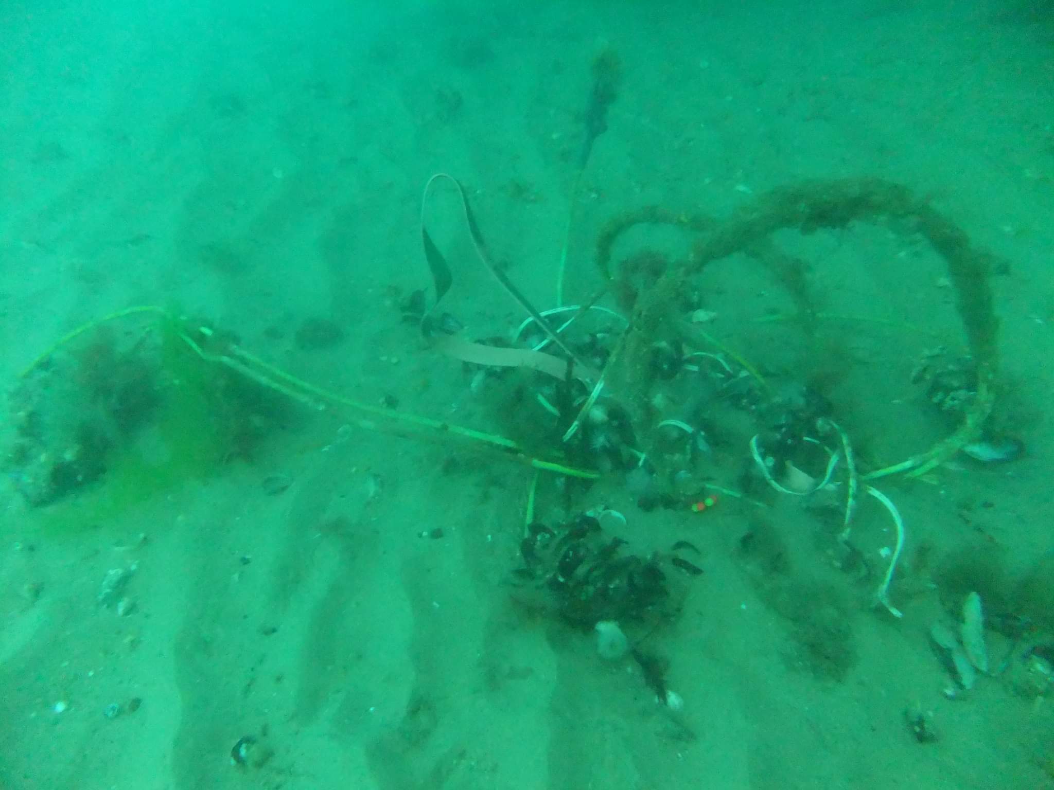
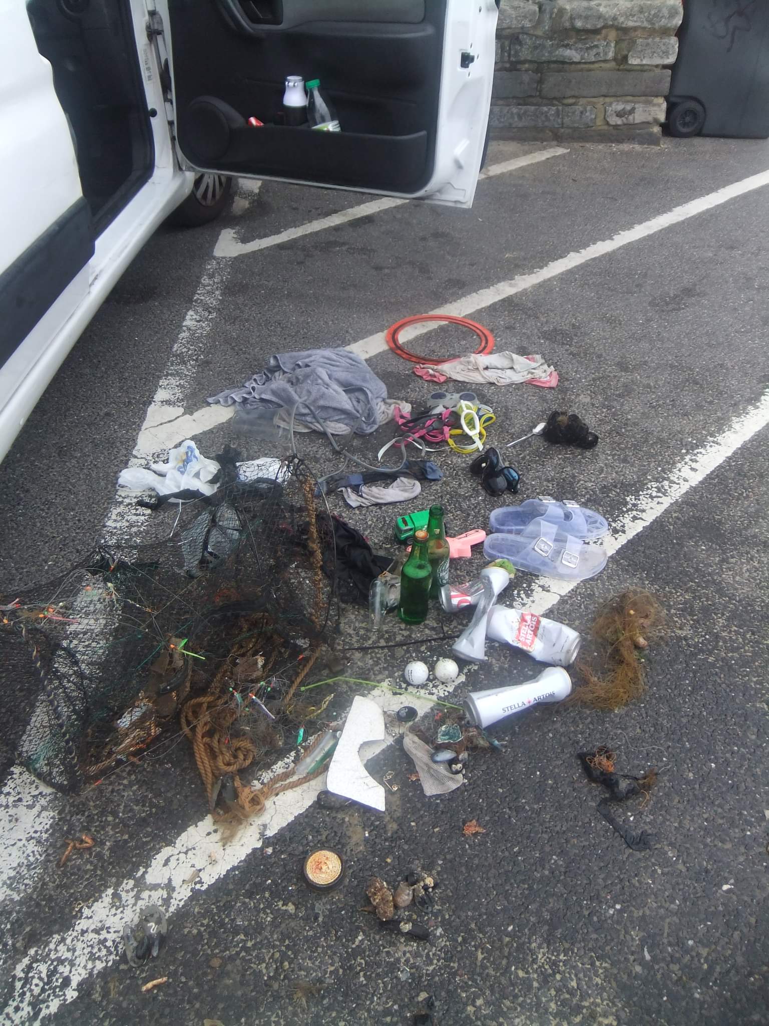
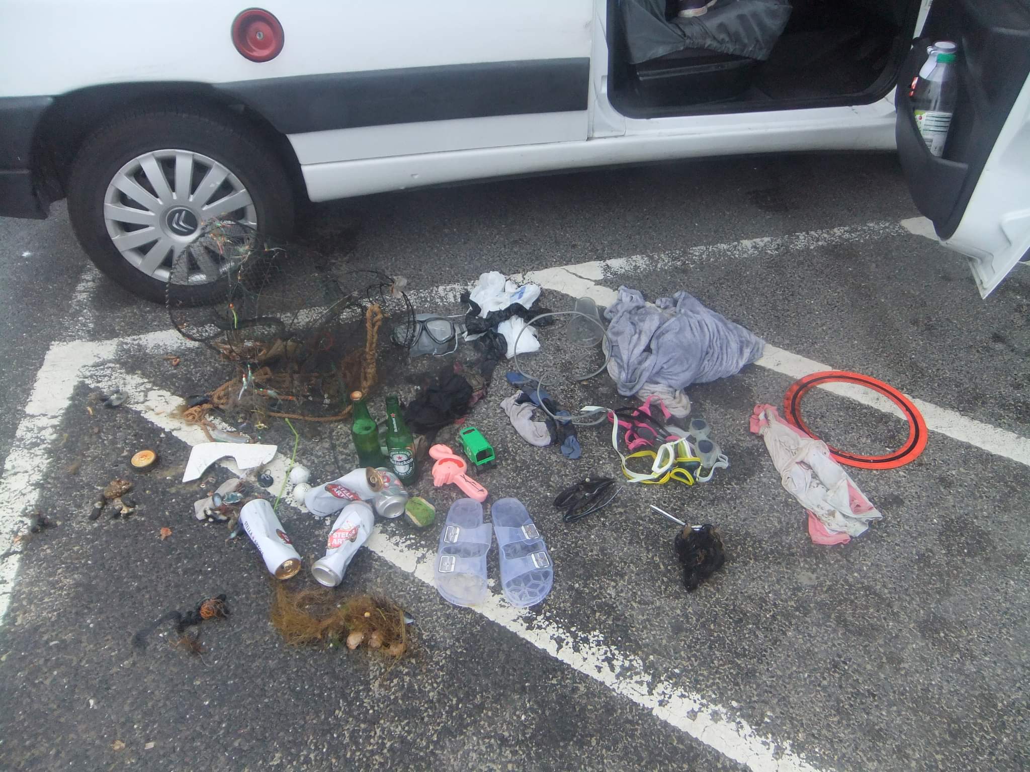
Survey Photos
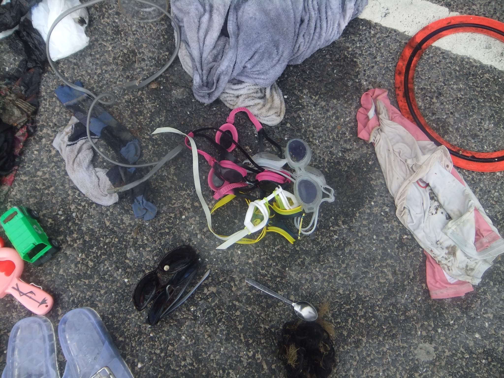
Debris Items Collected
| plastic materials collected | |
|---|---|
| Bags-grocery/retail (plastic) | 2 |
| Balls | 2 |
| Cups, Plates, Forks, Knives, Spoons (plastic) | 2 |
| Fishing: Line | 4 |
| SCUBA & Snorkel Gear-masks, Snorkels, Fins | 1 |
| Plastic Fragments | 14 |
| Strapping Bands (plastic) | 1 |
| glass materials collected | |
|---|---|
| Beverage Bottles (glass) | 3 |
| metal materials collected | |
|---|---|
| Beverage Cans (aluminium) | 4 |
| Caps & Lids (metal) | 1 |
| Forks, Knives, Spoons (cutlery) | 1 |
| Wire, Wire Mesh & Barbed Wire | 1 |
| Metal Fragments | 1 |
| Fishing: Traps & Pots | 1 |
| Fishing: Sinkers, Lures, Hooks | 6 |
| cloth materials collected | |
|---|---|
| Towels/rags | 1 |
| Cloth Fragments | 3 |
| mixed materials collected | |
|---|---|
| Shoes-flip Flops, Sandals, Tennis, Etc | 2 |
| Entangled Animals | |
|---|---|
| Other Fish | |
| Species or Common Name | bass |
| Number Entangled | 1 |
| Status | dead |
| Type of Debris | hook and line |
| Comments | fish was caught on a line attached to the crab pot |
Additional Information
flamingo and 6 pairs of swimming goggles
mono filament net
drinks cans/bottles


