
Dive Against Debris Data Submission
Boracay Island Station 1
2 January, 2025
- Team Leader
- Aaron Tan
- Number of Participants
- 5
- Total Debris Collected
- 10 kgs (estimated)
11.9643452, 121.9221919
Survey Information
- Location Name
- Boracay Island Station 1
- Organization/Dive Centre
- BBASS/ FIsheye Divers Boracay
- City
- Boracay Island
- Country
- Philippines
- Date
- 2 January, 2025
- Survey Duration
- 45 Minutes
- GPS Coordinates
- Latitude: 11.9643452
Longitude: 121.9221919
- Weather Conditions
-
rainy, amihan wind
- Survey Depth Range
- 2–5 meters
- Area Surveyed
- 1064 m2
- Dominant Substrate
- sand
- Ecosystem
- seagrass
- Wave Conditions
- Smooth (wavelets) for waves 0.1 - 0.5 meter high
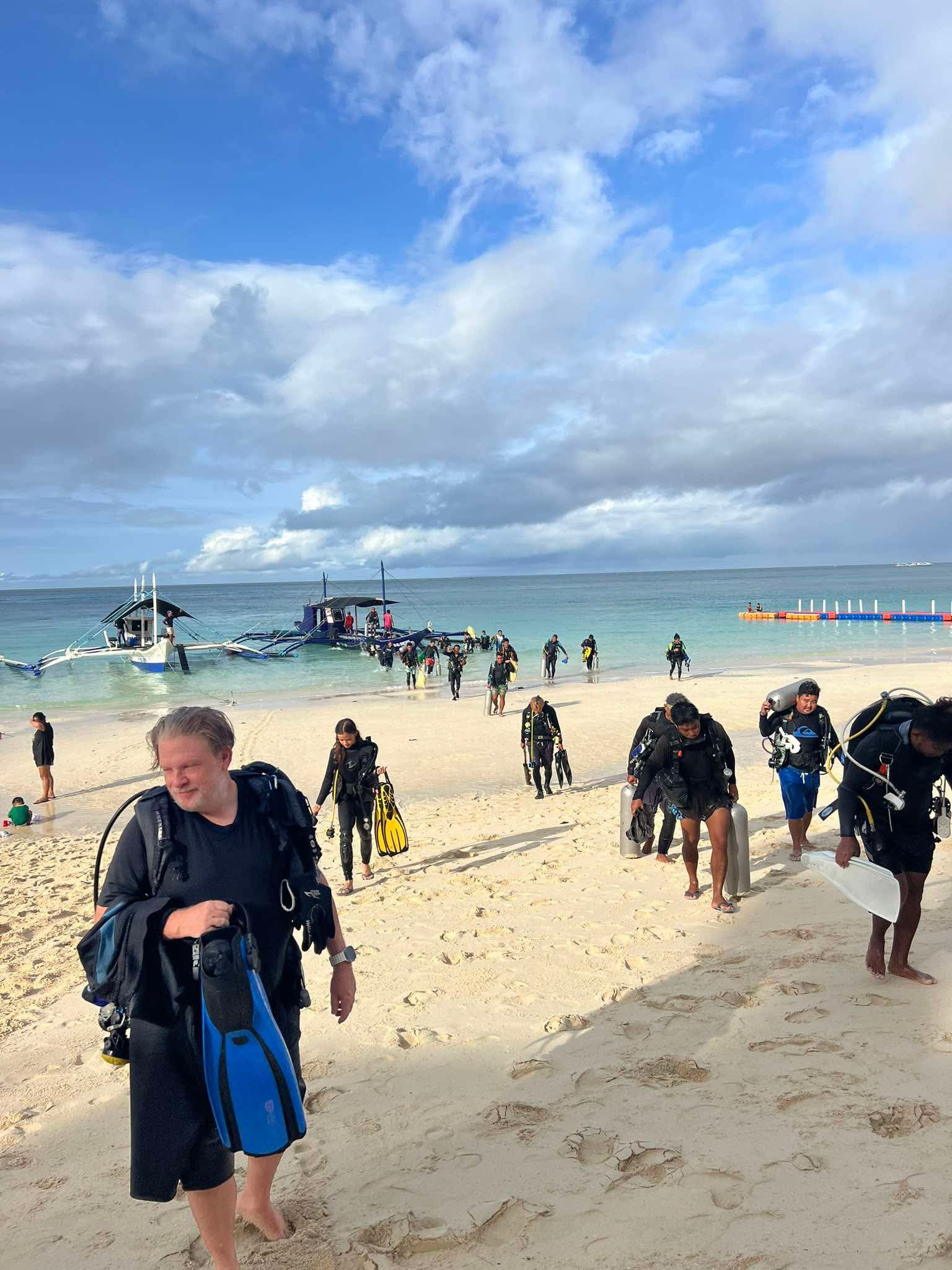
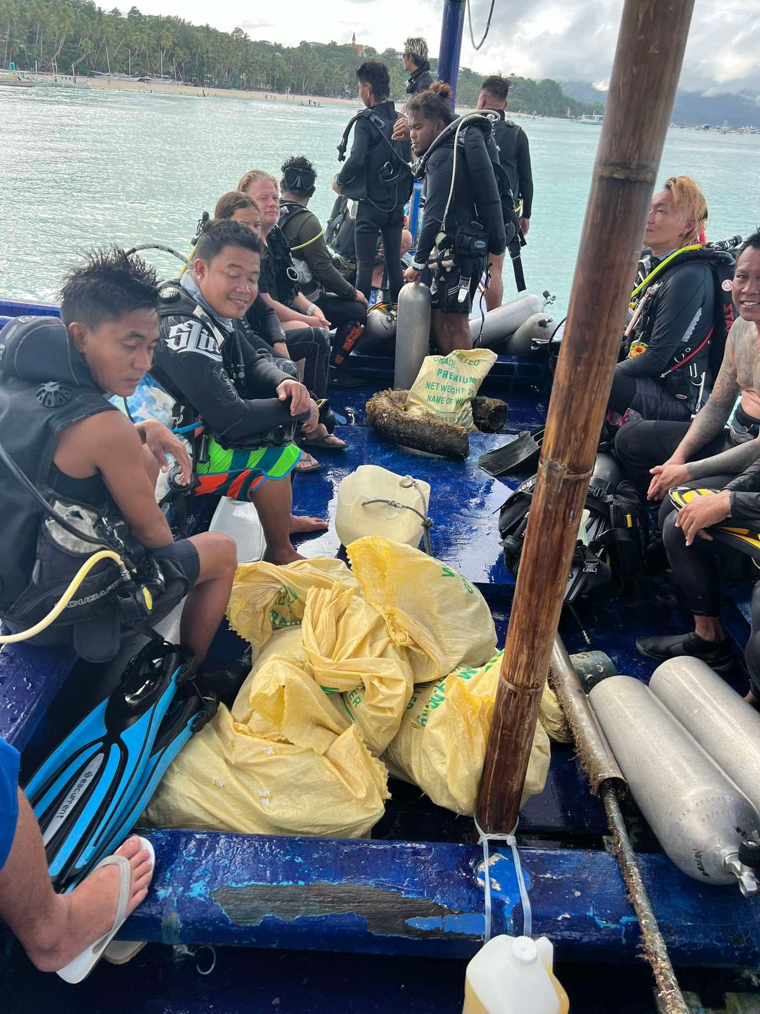
Survey Photos
Debris Items Collected
| plastic materials collected | |
|---|---|
| Bags-grocery/retail (plastic) | 5 |
| Bags: Trash (plastic) | 6 |
| Bait Containers, Packaging | 3 |
| Baskets, Crates | 1 |
| glass materials collected | |
|---|---|
| Beverage Bottles (glass) | 13 |
Additional Information
Boracay Island Diving association Clean Up
Fishing Line AND glass bottle
fishing line
bottles


