
Dive Against Debris Data Submission
Blue Heron Bridge
16 June, 2018
- Team Leader
- Jason Davis
- Number of Participants
- 9
- Total Debris Collected
- 4 lbs (estimated)
26.784839530097, -80.043084283763
Survey Information
- Location Name
- Blue Heron Bridge
- Organization/Dive Centre
- Nautilus Aquatics
- City
- Riveria Beach
- Country
- United States
- Date
- 16 June, 2018
- Survey Duration
- 45 Minutes
- GPS Coordinates
- Latitude: 26.784839530097
Longitude: -80.043084283763
- Weather Conditions
-
Clear and Calm
- Survey Depth Range
- 6–20 feet
- Area Surveyed
- 17925.2 ft2
- Dominant Substrate
- sand
- Ecosystem
- coral reef
- Wave Conditions
- Calm (glassy to rippled) for waves 0 – 0.1 meter high
Survey Photos
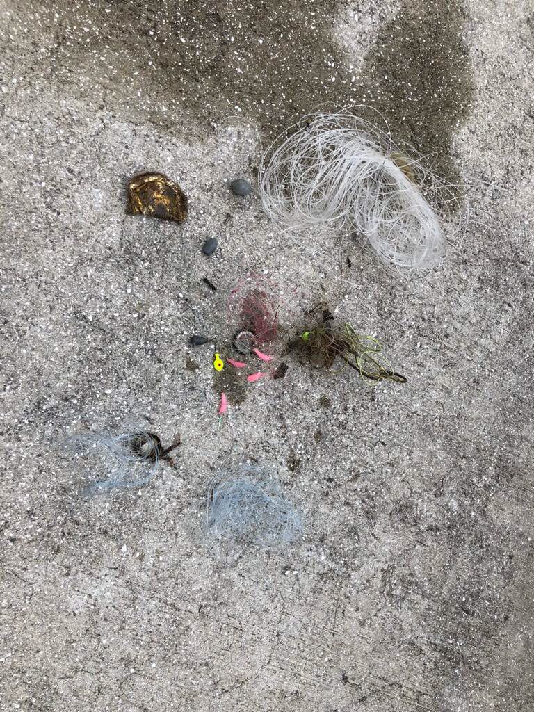
Debris Items Collected
| plastic materials collected | |
|---|---|
| Fishing: Line | 20 |
| Fishing: Lures, Rods/poles | 5 |
| Fishing: Nets & Pieces Of Nets | 2 |
| Plastic Fragments | 3 |
| metal materials collected | |
|---|---|
| Beverage Cans (aluminium) | 1 |
| Caps & Lids (metal) | 3 |
| Batteries: Car Or Boat | 2 |
| Entangled Animals | |
|---|---|
| Crustaceans | |
| Species or Common Name | Crab |
| Number Entangled | 1 |
| Status | released unharmed |
| Type of Debris | Net |
Additional Information
Storms and fishing
Crushed can
Cut Fishing line


