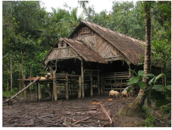
Mentawai Island

updates
Mentawai archipelago is one of the best gateaway places in the world. Lush rainforest vegetation, sunny beaches, high swelling waves and the hospitality of local people are the main attraction of the islands. Here are some interesting facts of the Mentawai Islands.
The islands
The islands of Mentawai are located across Mentawai Strait, 150 kilometers to the west of Sumatra Island, Indonesia. The islands were broken off from Sumatra mainland during the Pleistocene ice age due to rising sea levels around five hundred thousand years ago.
Mentawai Islands comprise of more than seventy islands. Four largest islands are Siberut, Sipura, North Pagai and South Pagai.
The islands sit on an active seismic zone, the Sunda mega thrust that runs along the western coast of Sumatra Island. That’s why the islands have high earthquake activities. Latest major earthquake occurred in 2010, followed by deadly tsunami. Numerous minor earthquakes had been occurring frequently afterwards.
The beaches and the waves
The islands have several numbers of beautiful sandy beaches. As the islands are sitting on the edge of continental shelf surrounded by coral reefs, deep ocean water can surge up and creates monster waves. The waves last the whole year, making the islands an excellent surfing location.
The waves of Mentawai were first discovered by Australian surfer in the 1990s. Surfing tourism started to develop rapidly after this discovery. Today, Mentawai had been recognized as one of the best surfing locations in the world.
The Mentawai Islands have the highest number of breaks in a single area. The famous waves which are included in the “world’s top ten” list are the HT’s, Rifles, Green Bush, Kandui, Macaroni and Telescope.
Even though earthquake still poses tsunami threat in the region, extreme sport seekers (like the surfers) keep coming from around the world.
Photos