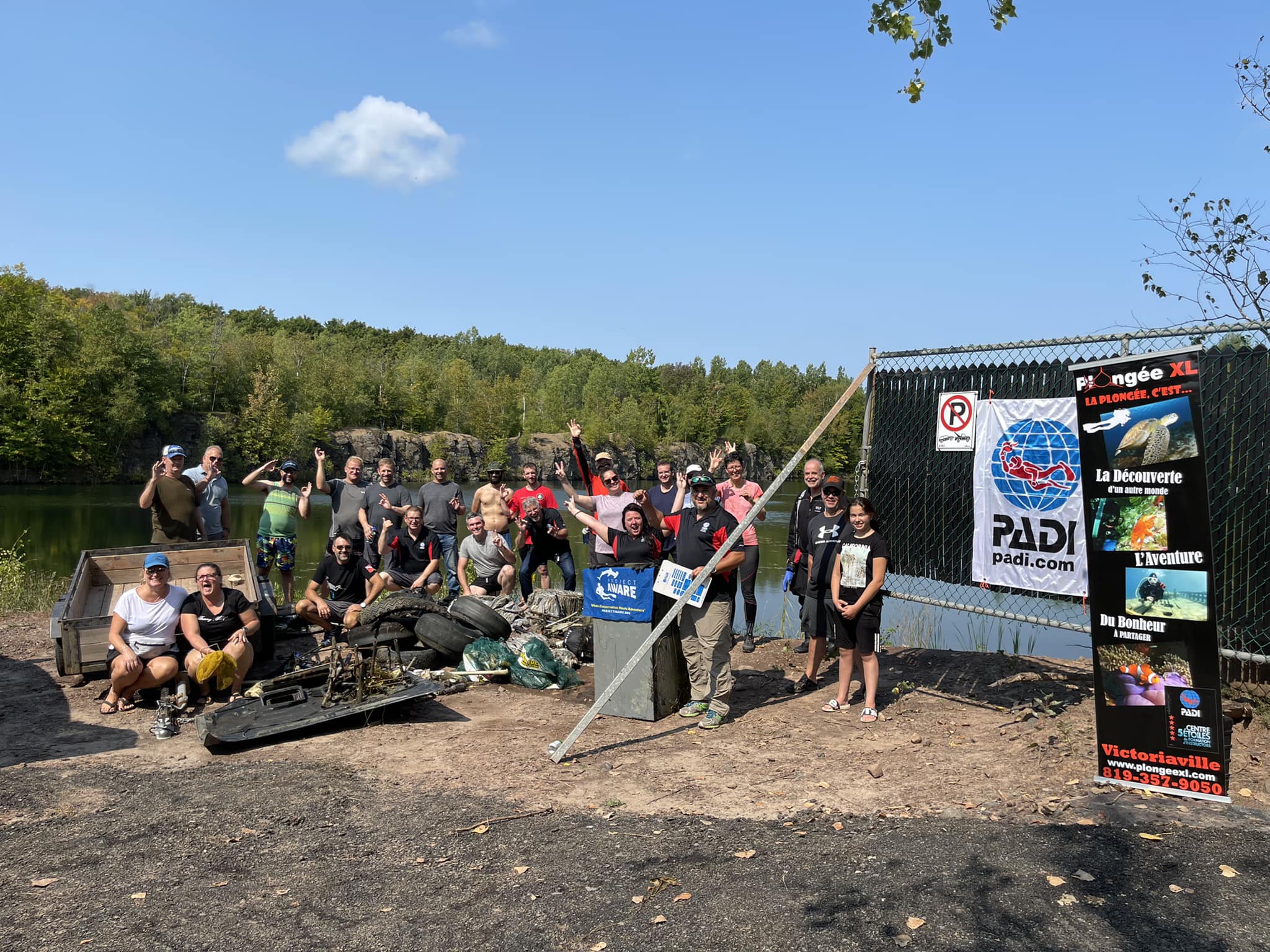
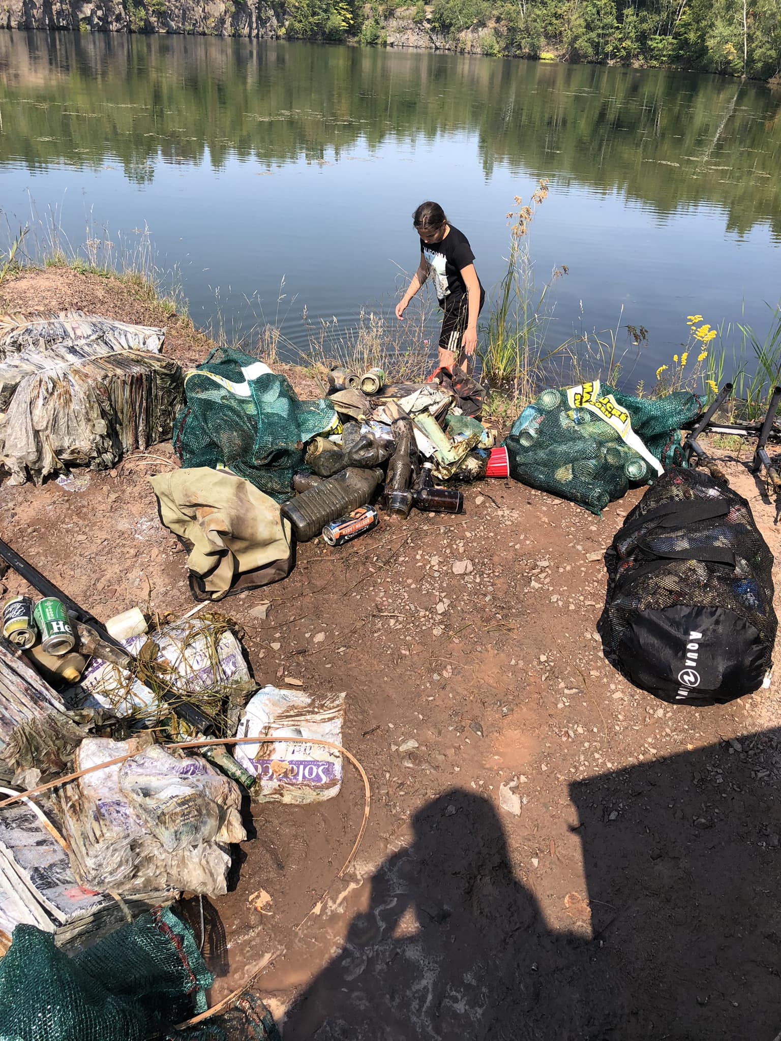
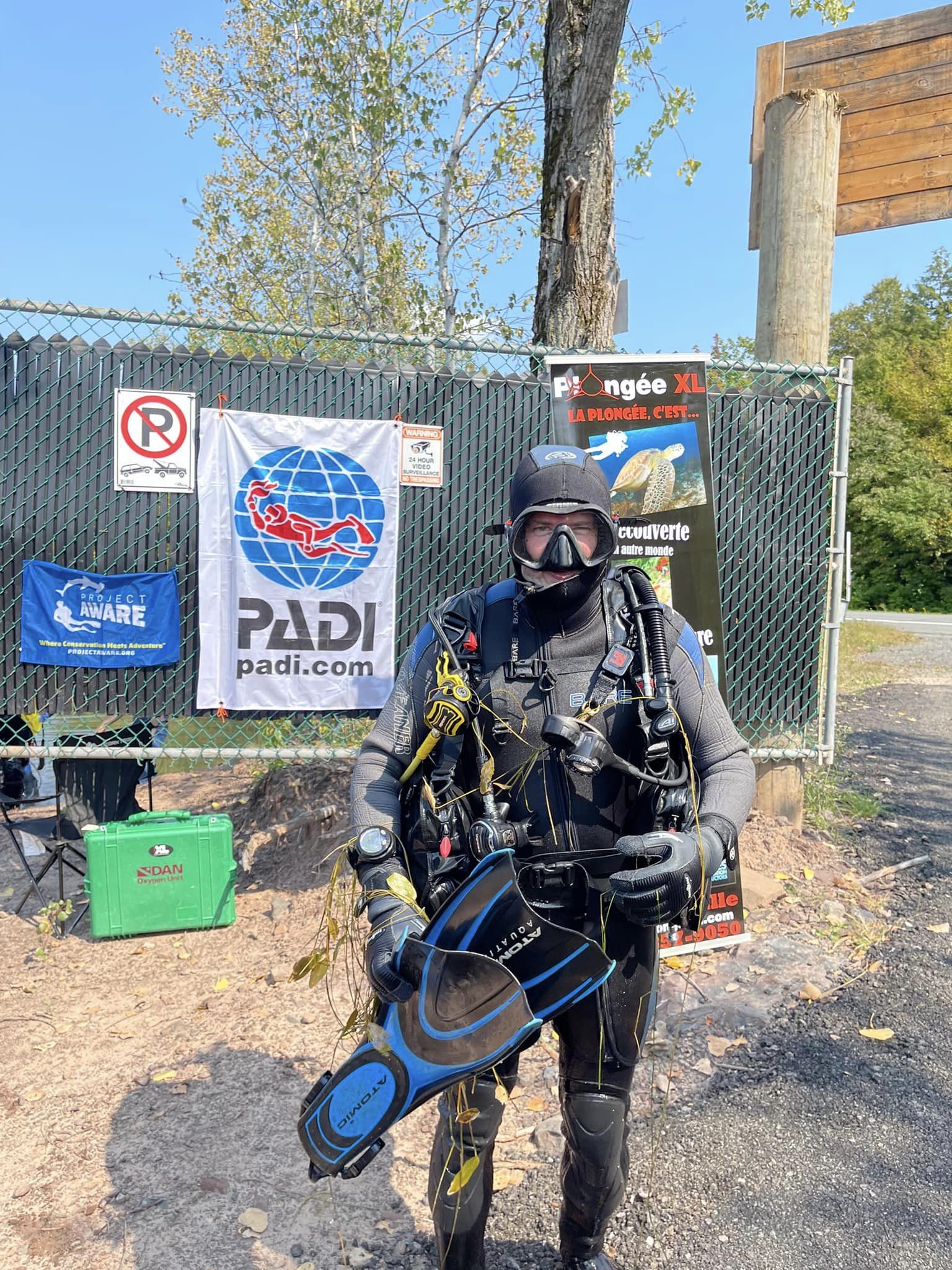
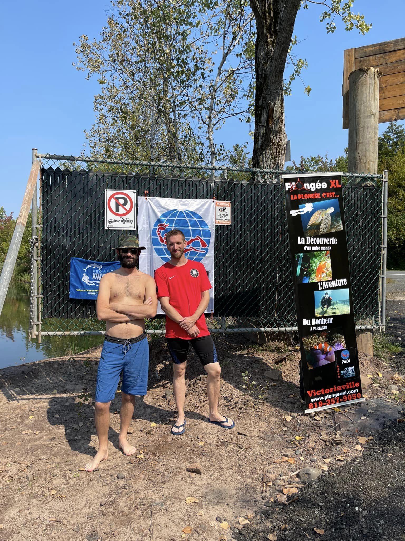
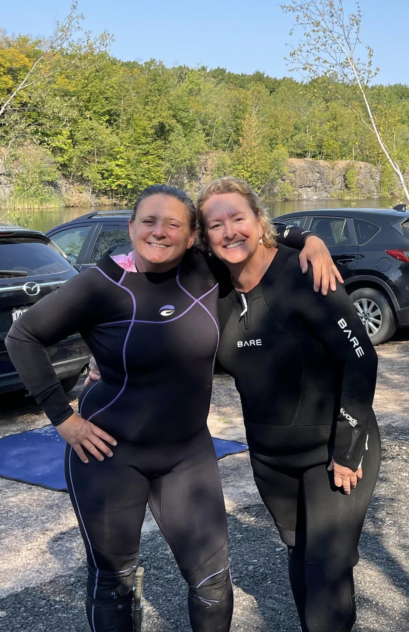
Lac Vert
silt
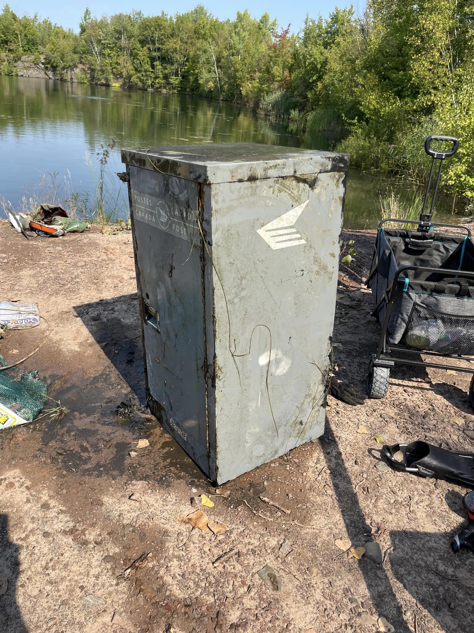
 Canada
2
2
46.094707249081, -72.136648692747
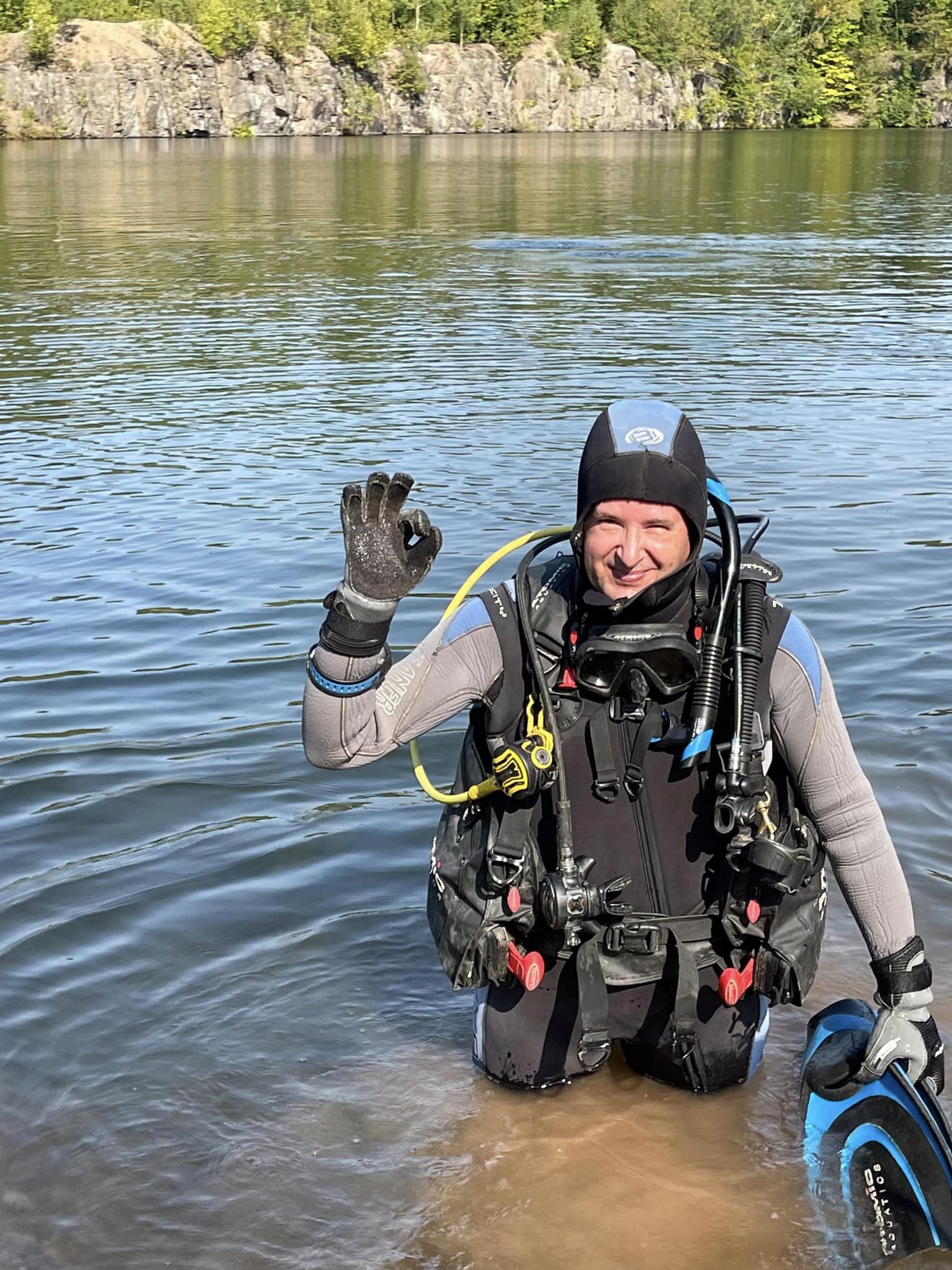
Sunny and hot day
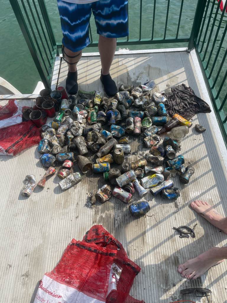
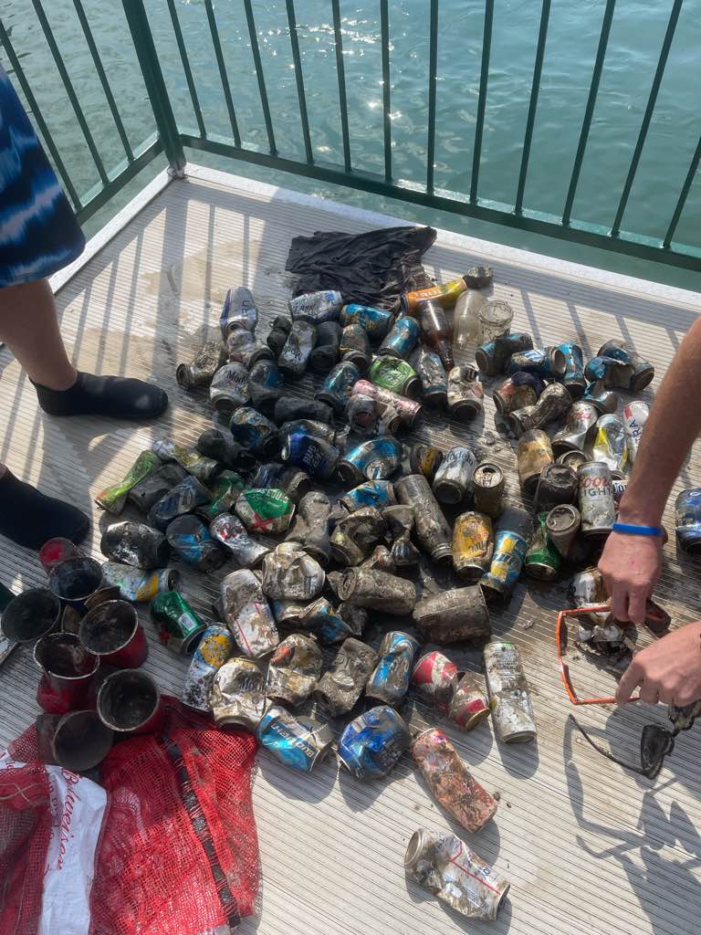
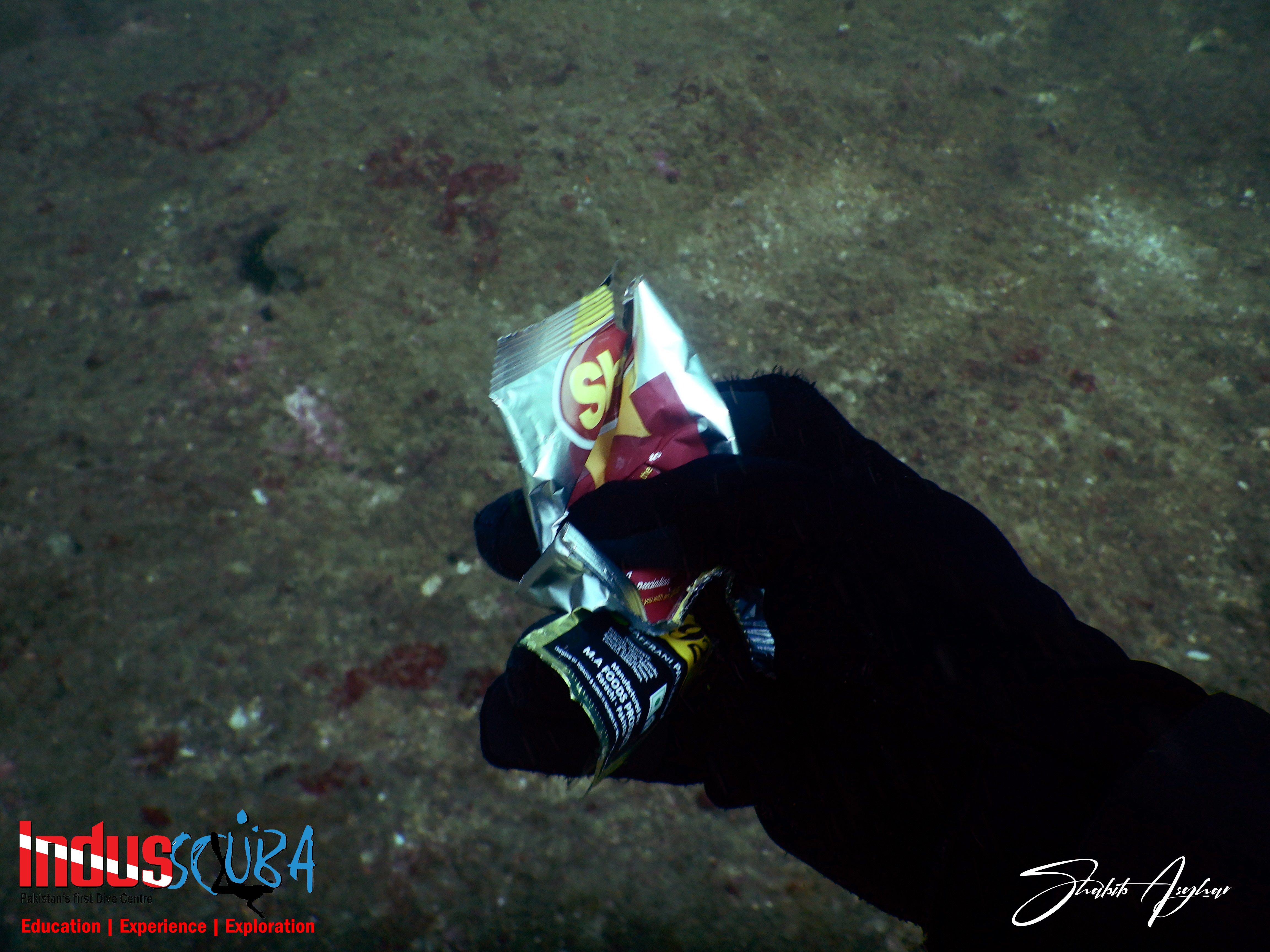
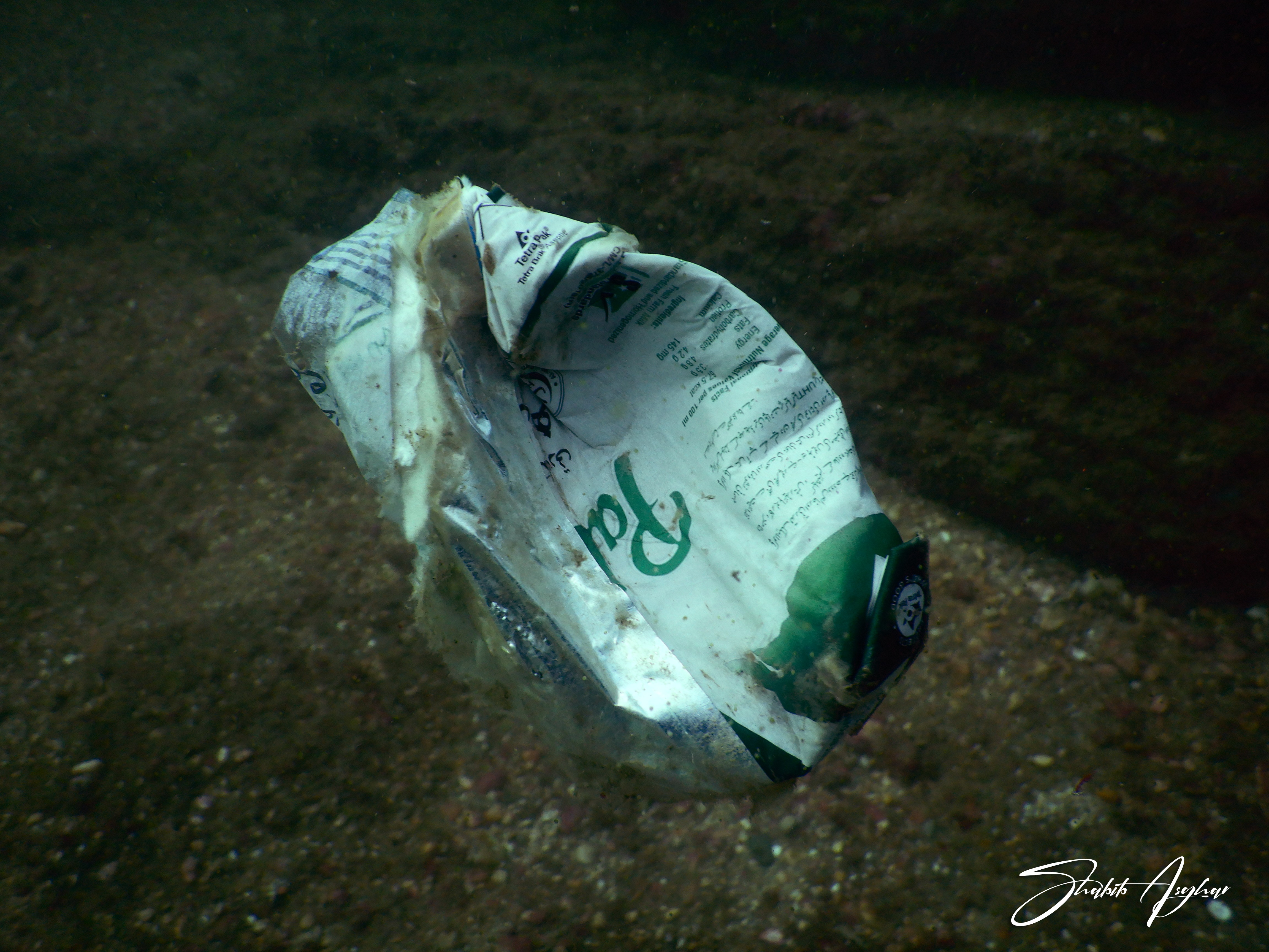
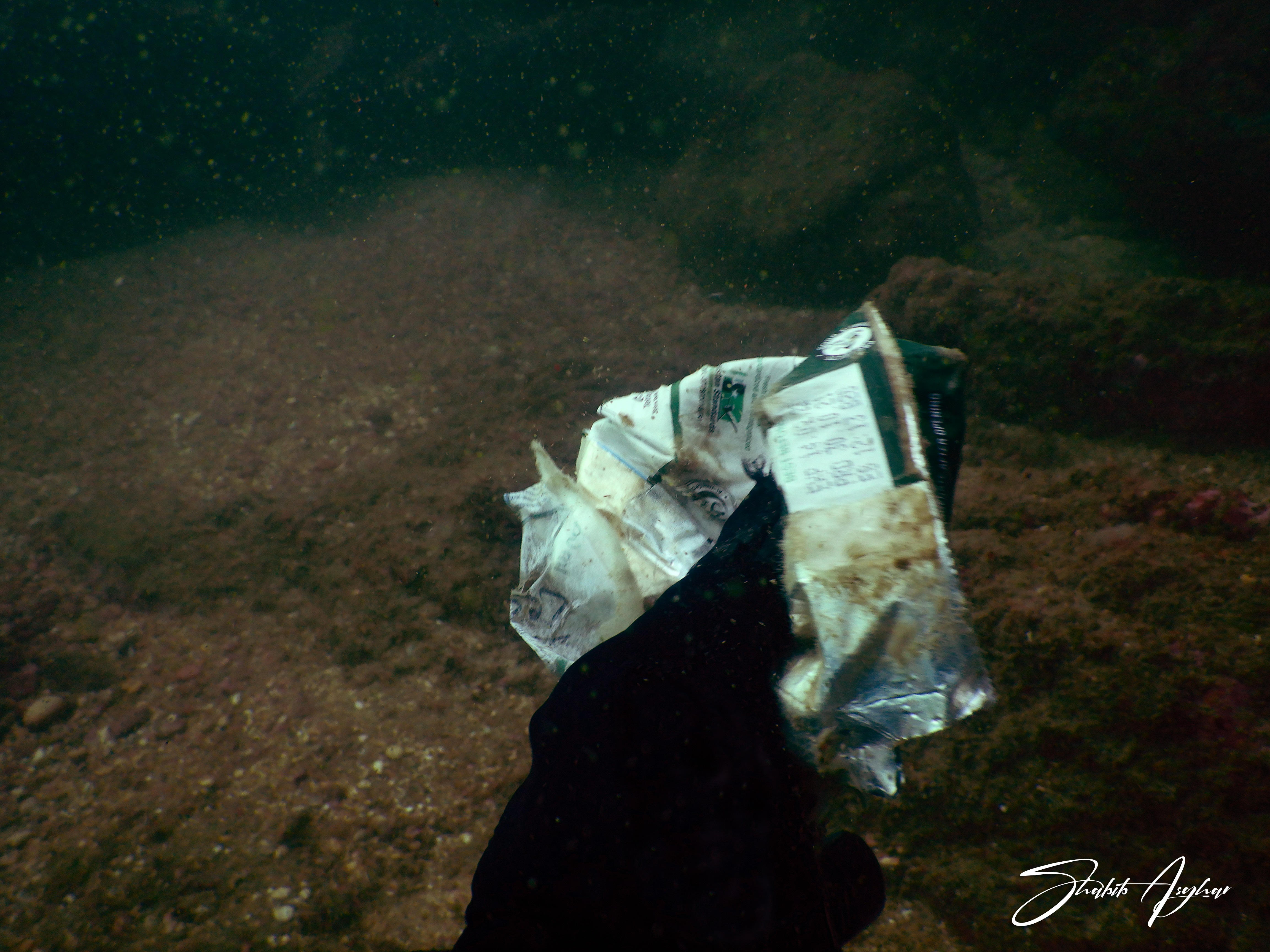
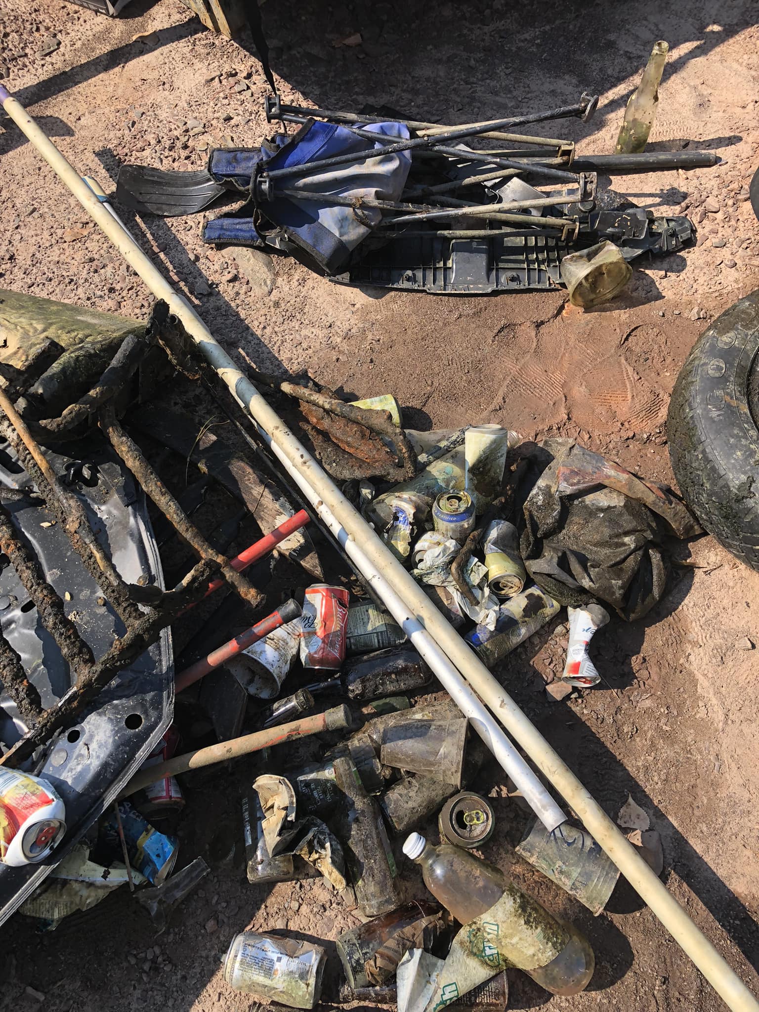
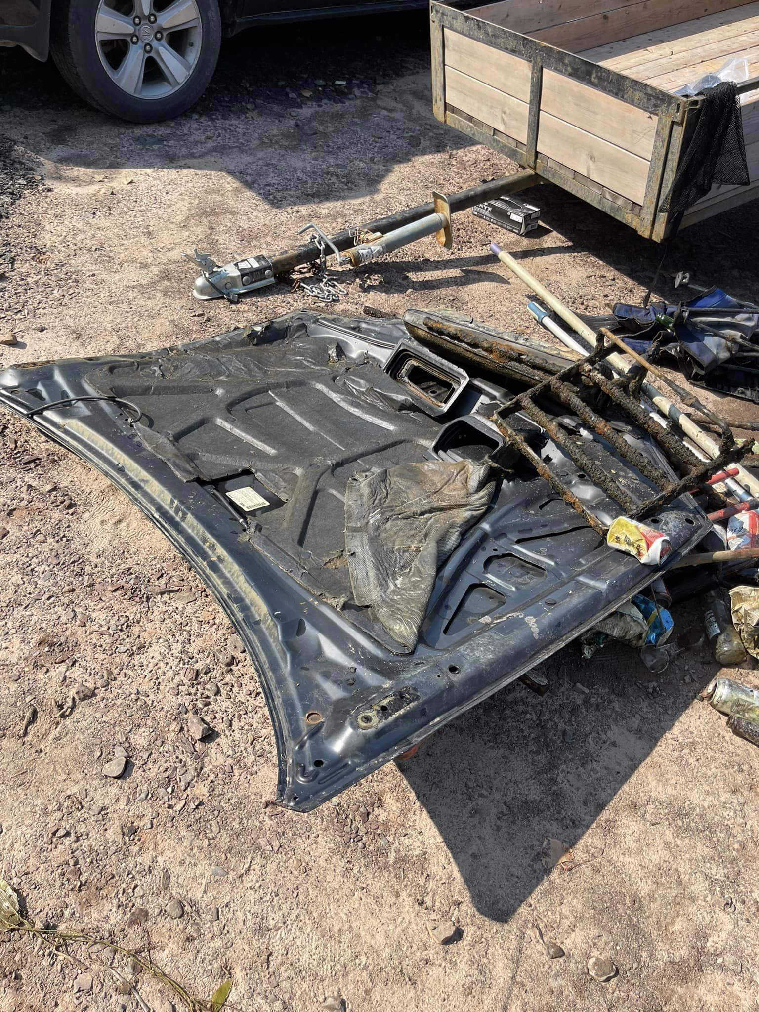
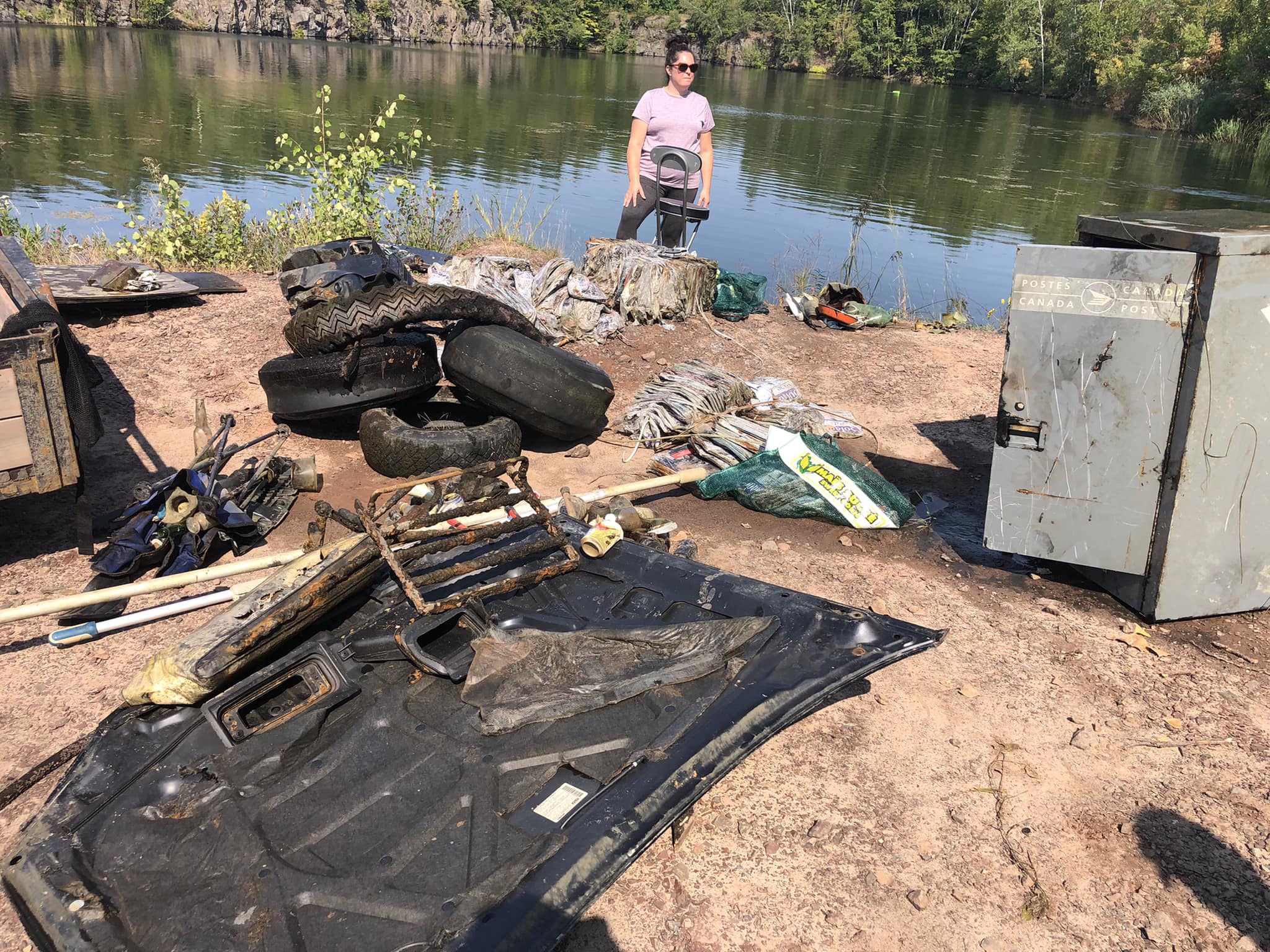
1 of 78 pounds
1
Big Canada mail box
folding chair
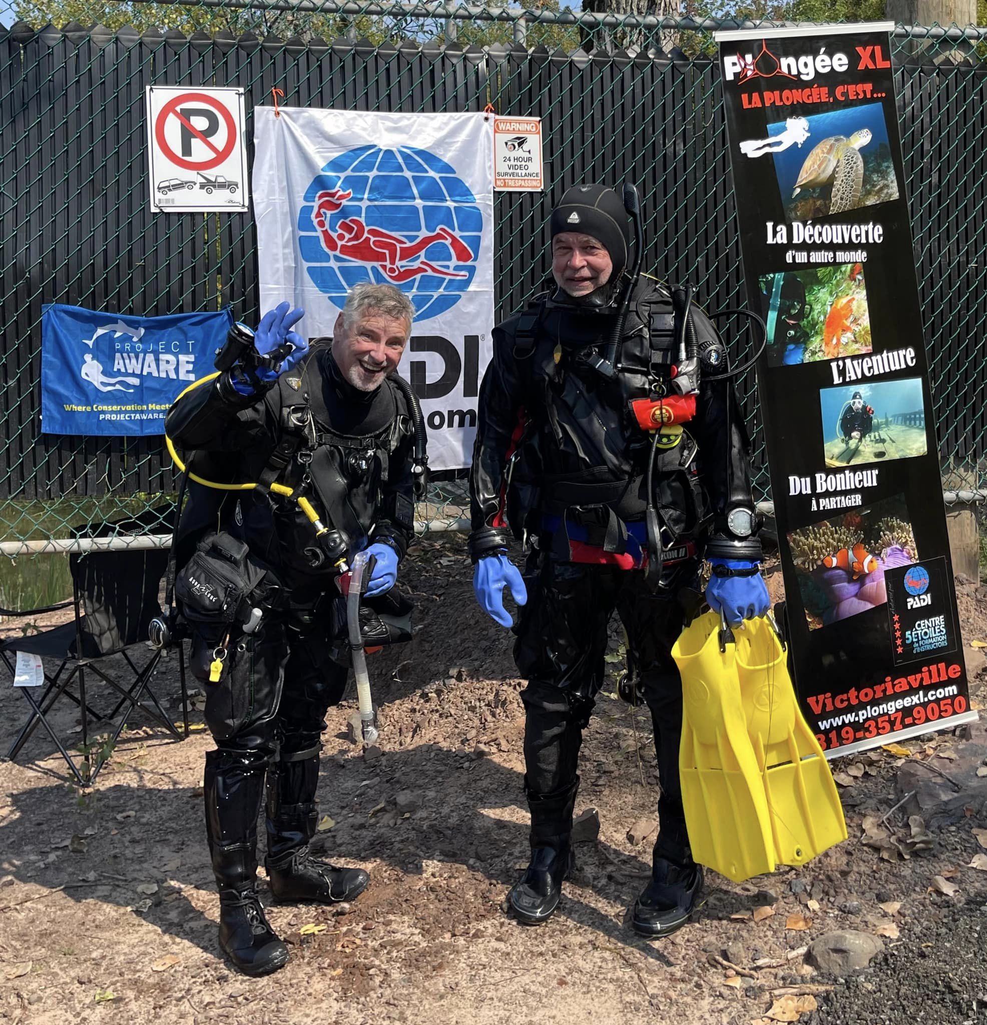
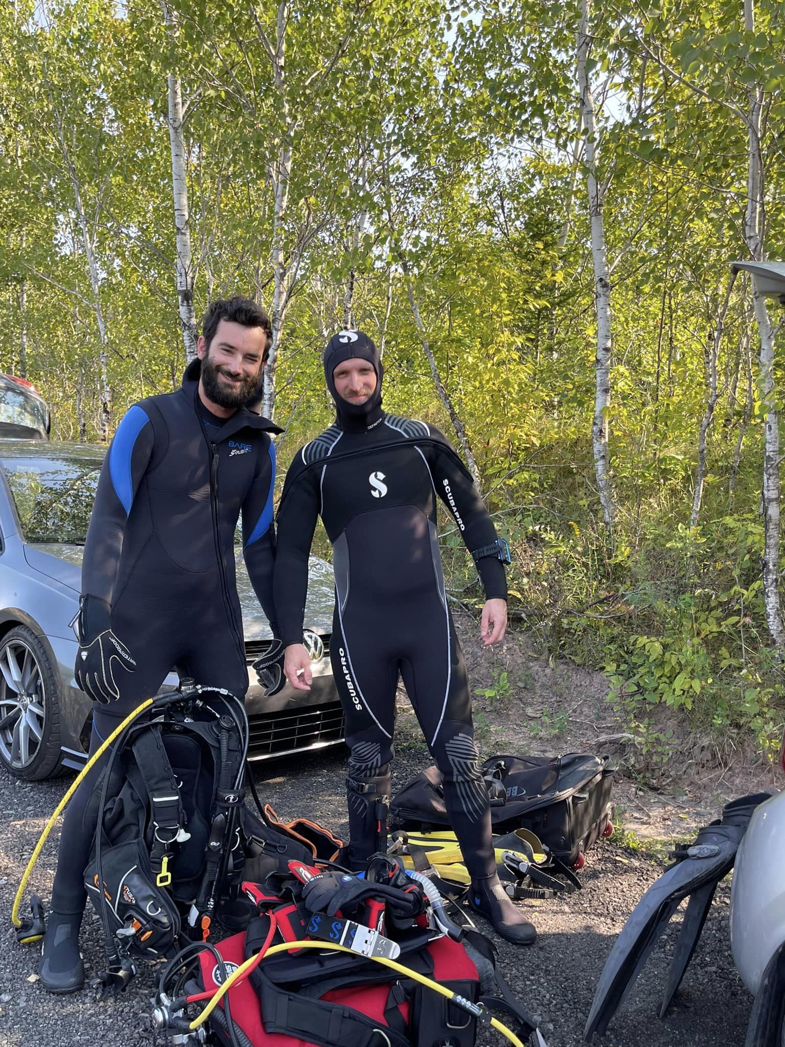
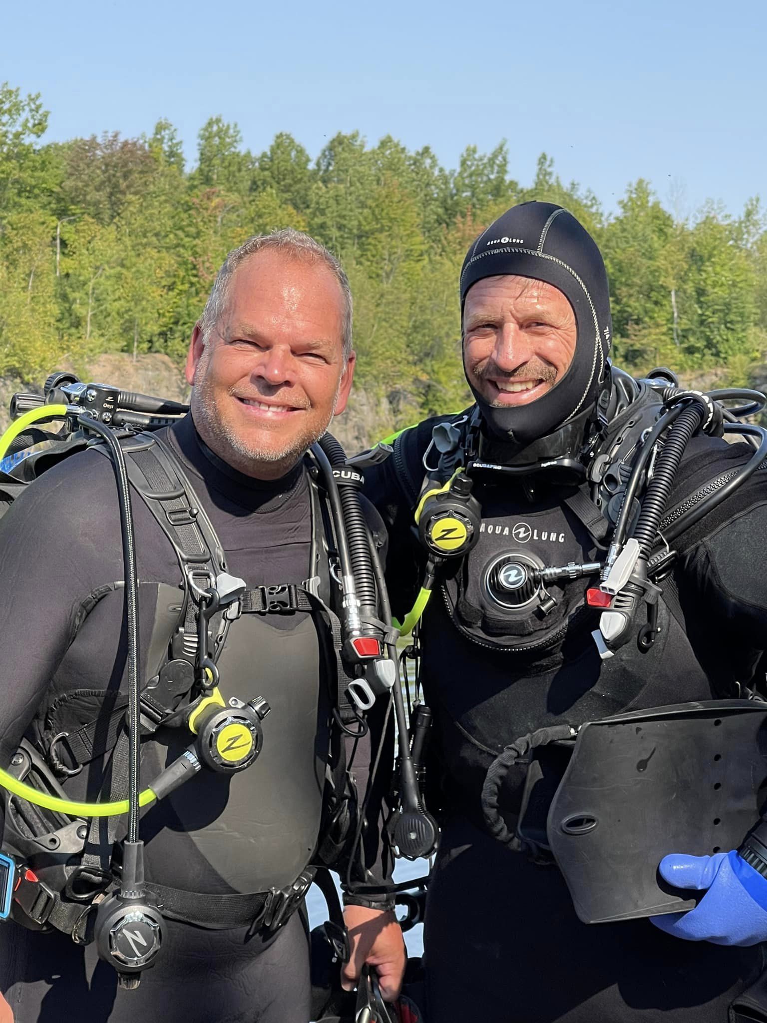
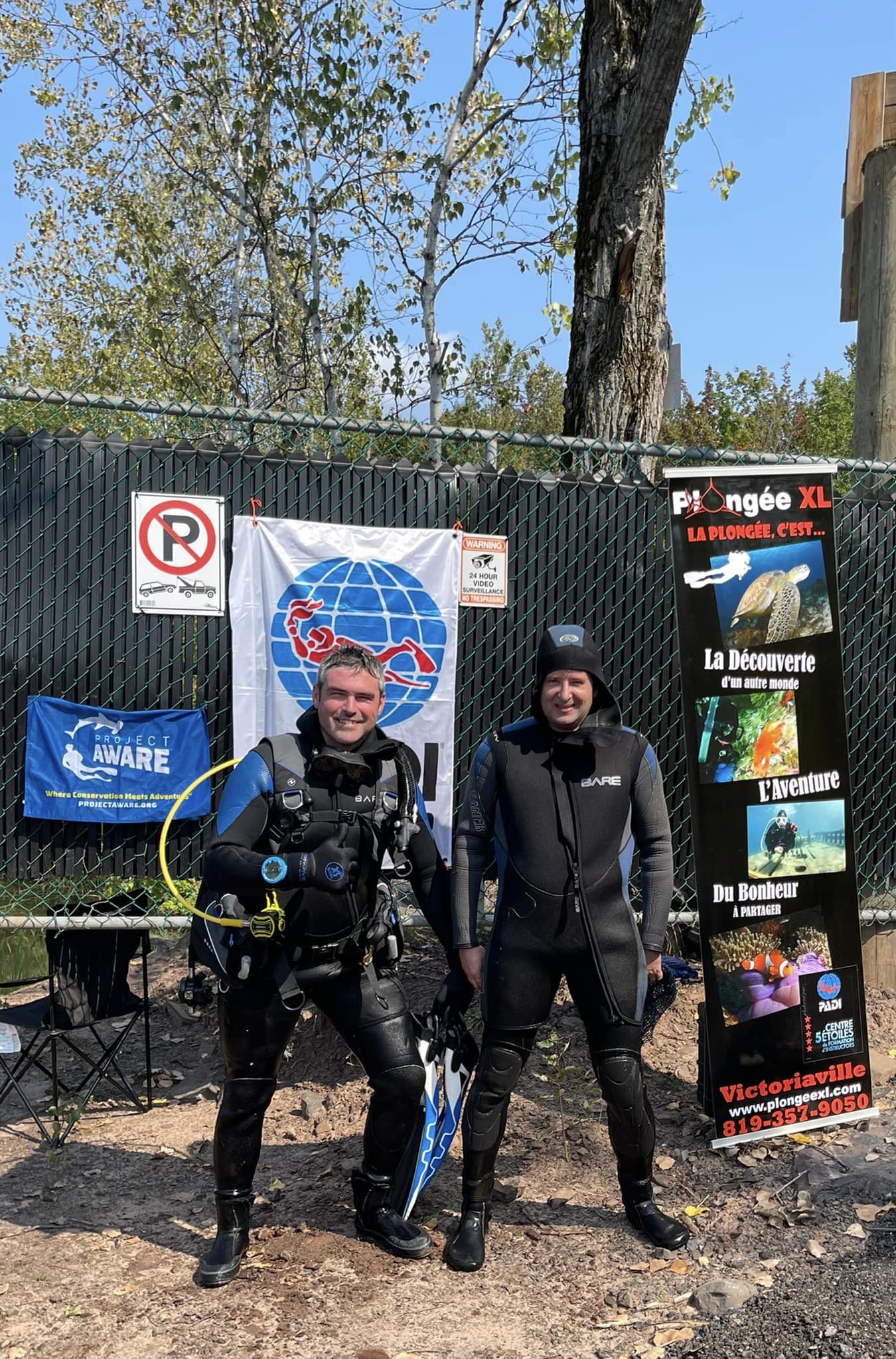
Plongée XL Padi Store 30159
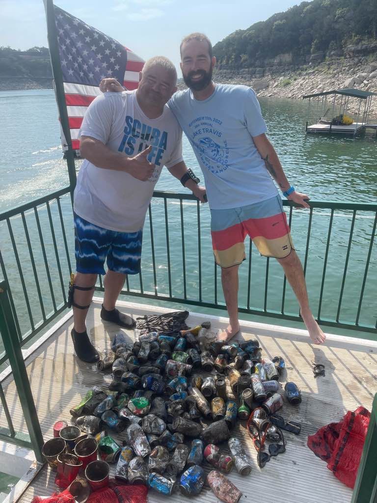
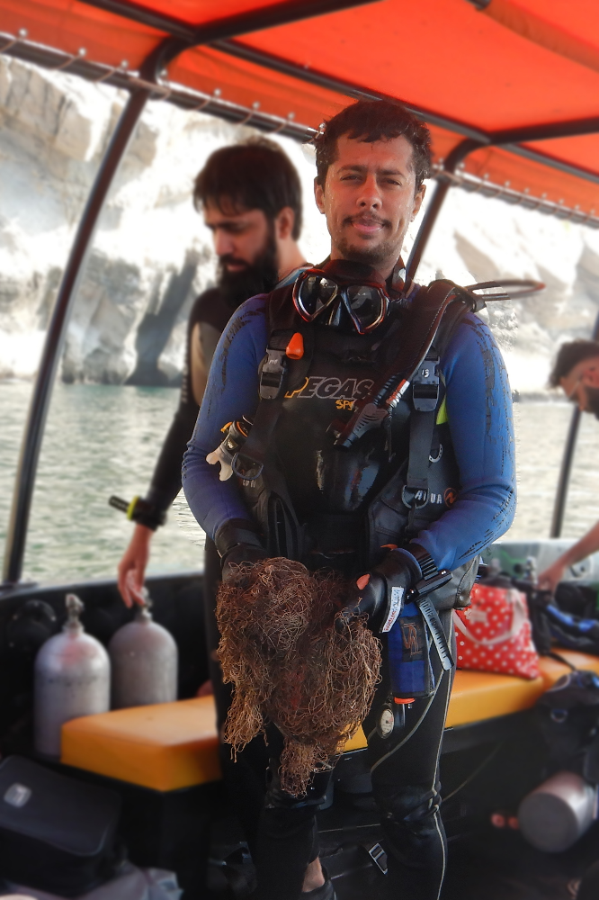
Anouar Bennaid
1
1
21
240
240
4
8
3
837.00
600
35.00
10.00
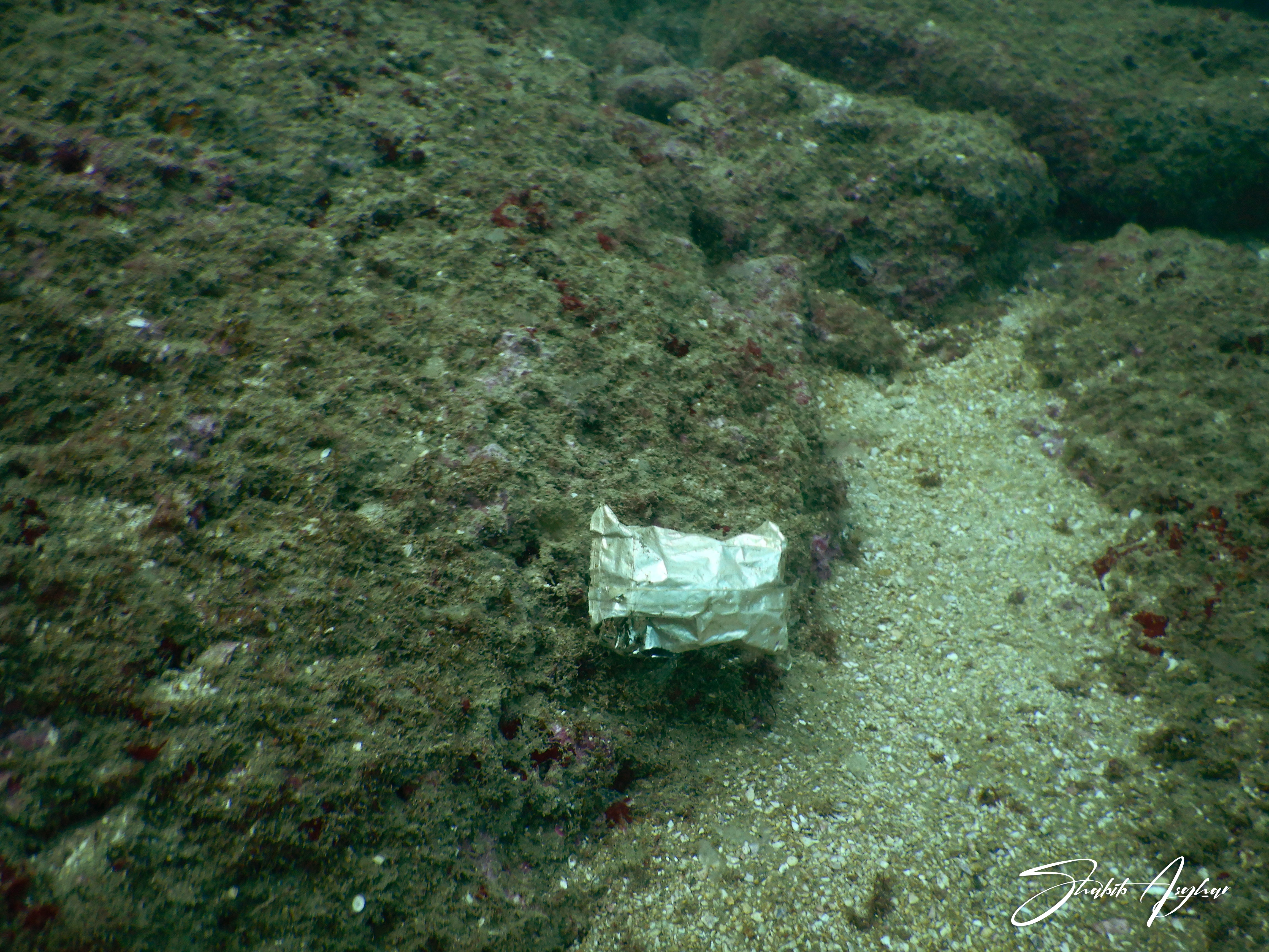
measured
80000.00
6
2
On
pounds
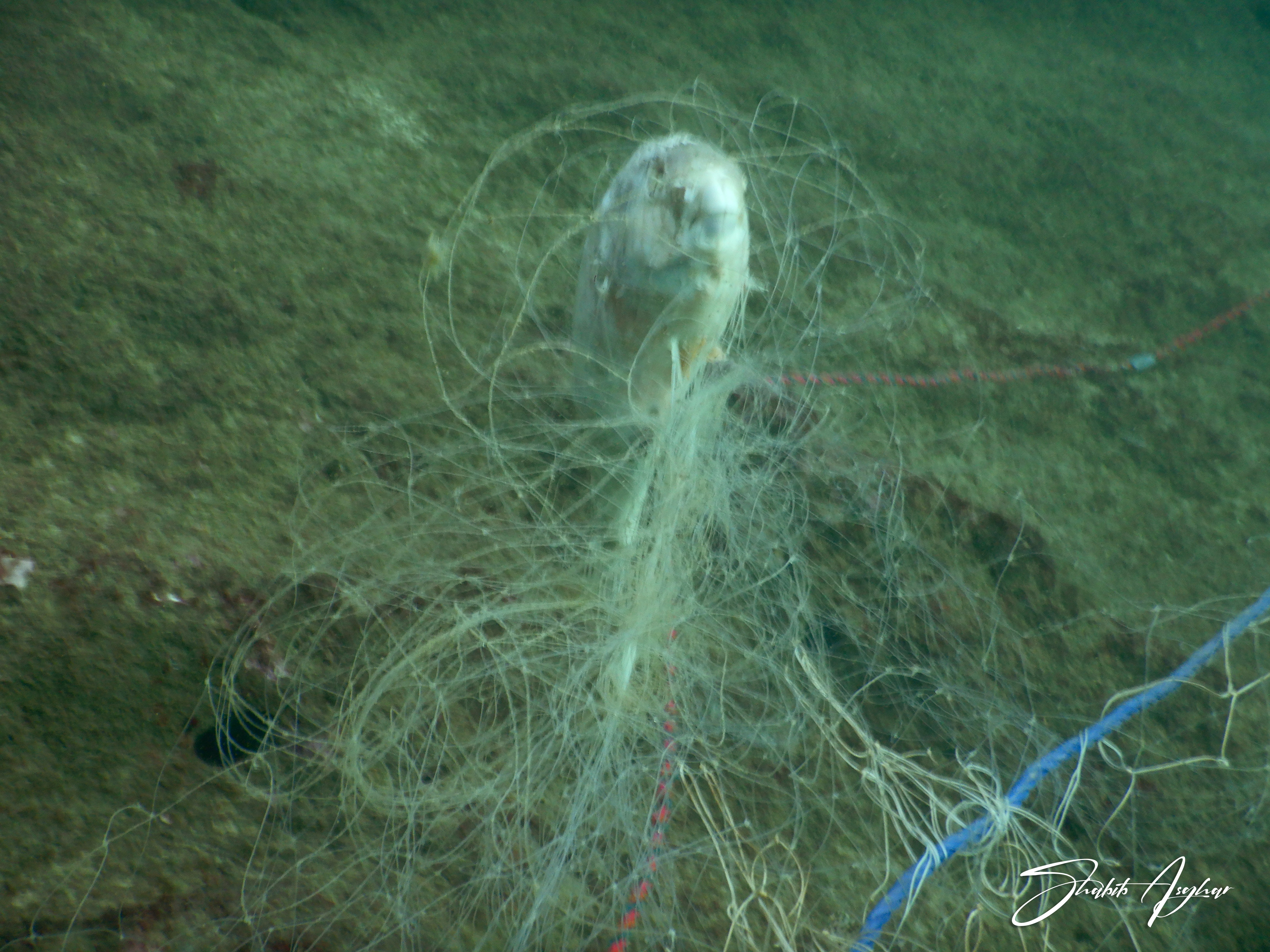
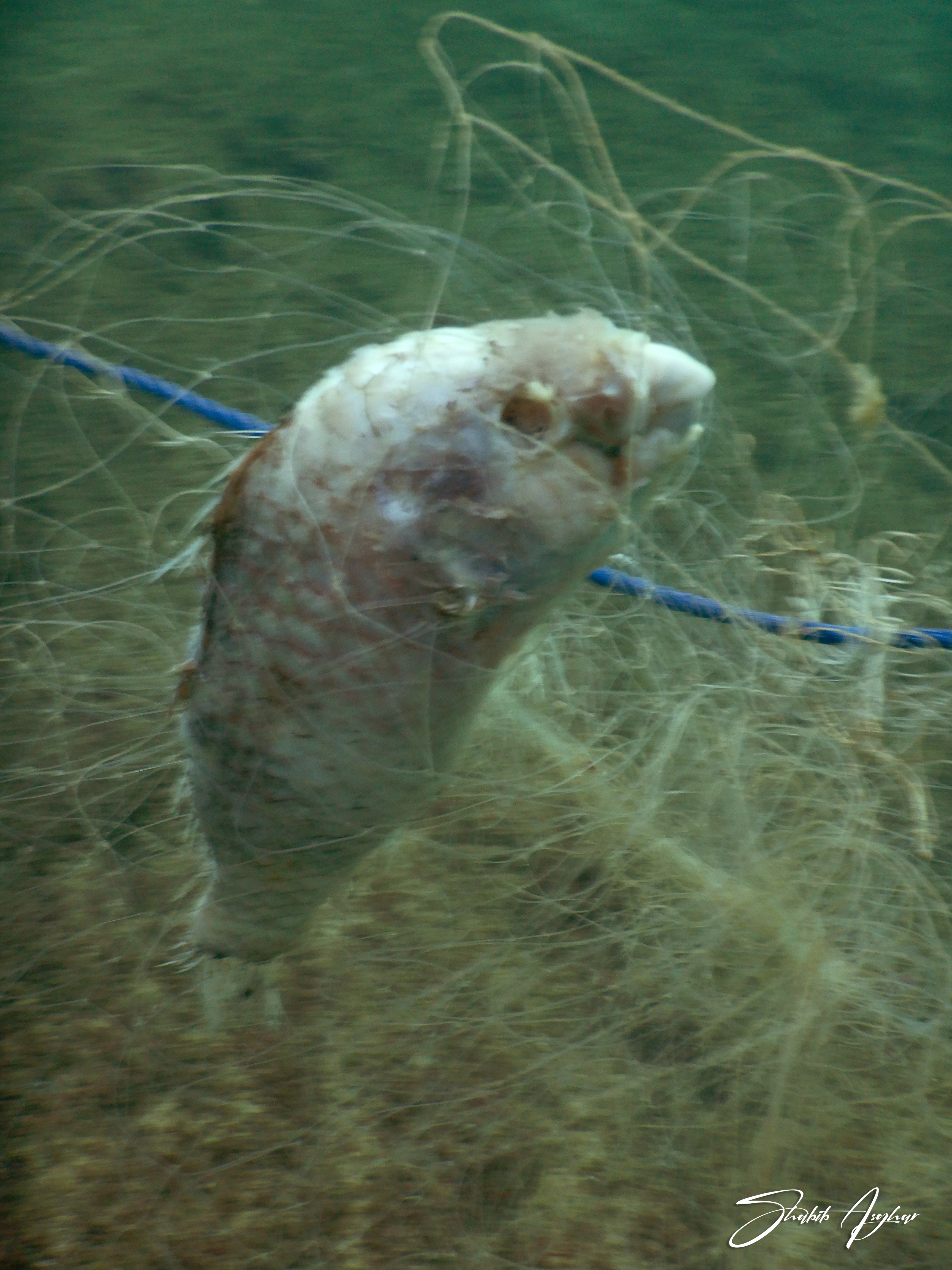
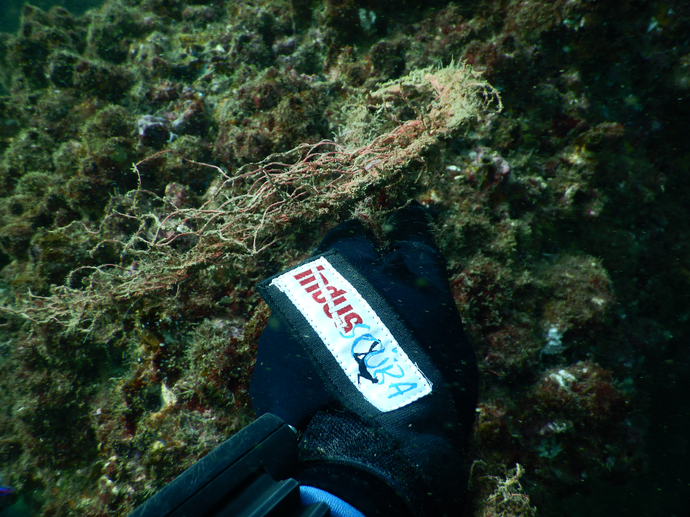
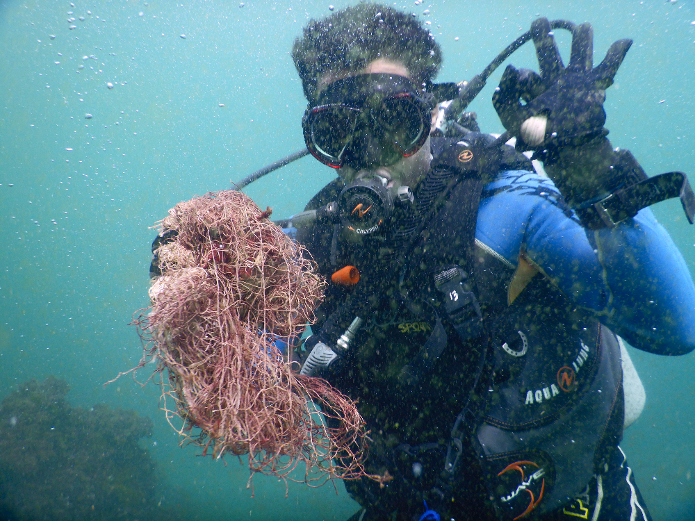
I have debris data to report
16
Calm (glassy to rippled) for waves 0 – 0.1 meter high
ft2
feet
other
7
8
5
2
2
24
2
1
4
1
State\Province
Quebec
City
Saint-Valère
Map Help
Dive Location
If you know your survey site coordinates, enter them manually in decimal degrees using WGS84 Map Datum. Use the minus sign for latitudes south of the equator and longitudes west of the Prime Meridian to 180 degrees.
If you do not know your survey site coordinates, click the “Map Location” tab to use the map to zoom into your survey site and drop the pin on the map to fall within your survey dive site in the water (not on land or the beach). Ensure you zoom in as much as possible to ensure data accuracy.
Entangled Help
Use the vertical tabs below to record any entangled animals you found of each type.
Ecosystem Other
Lake