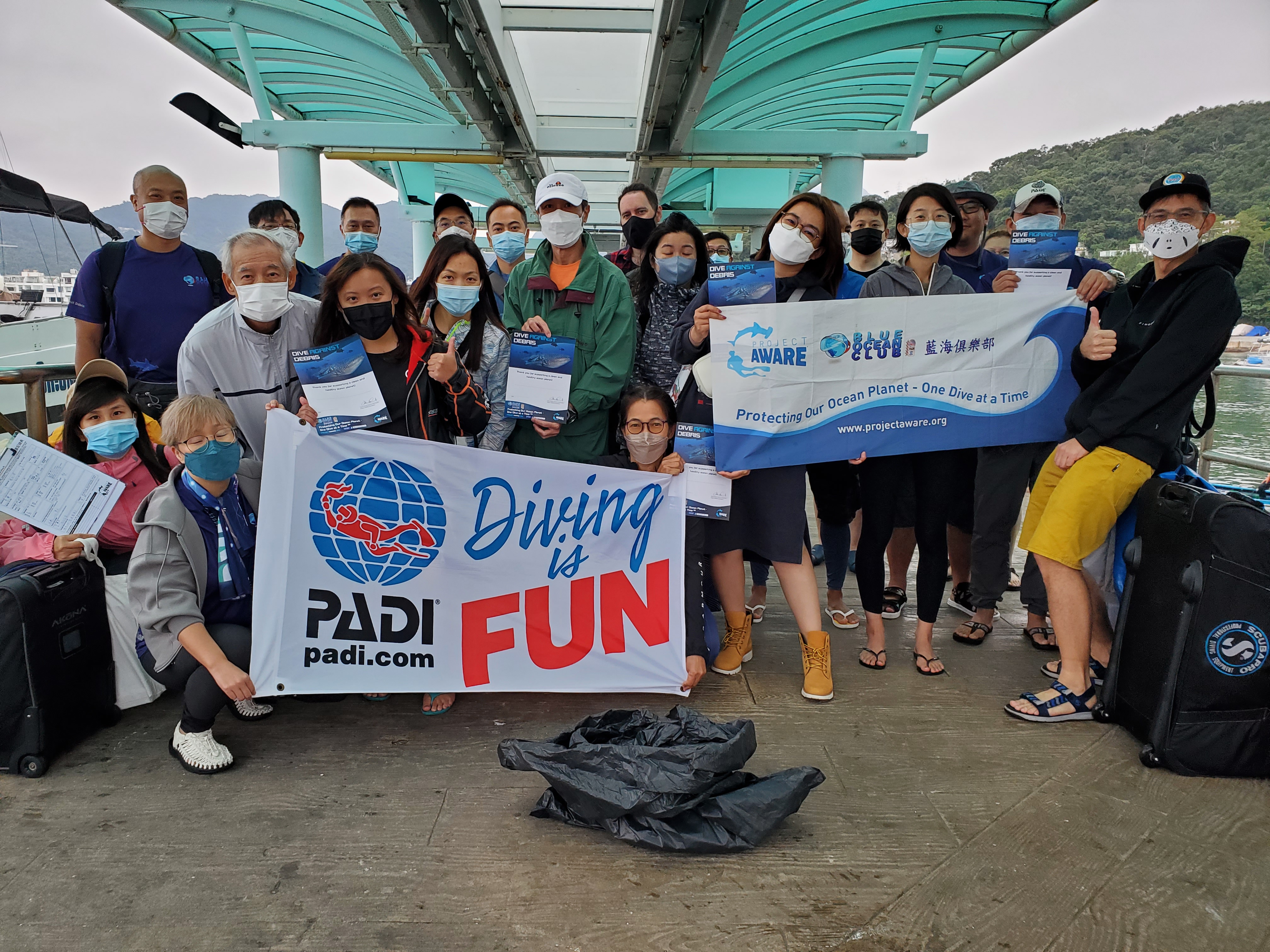
House Reef Yellow Submarine
6
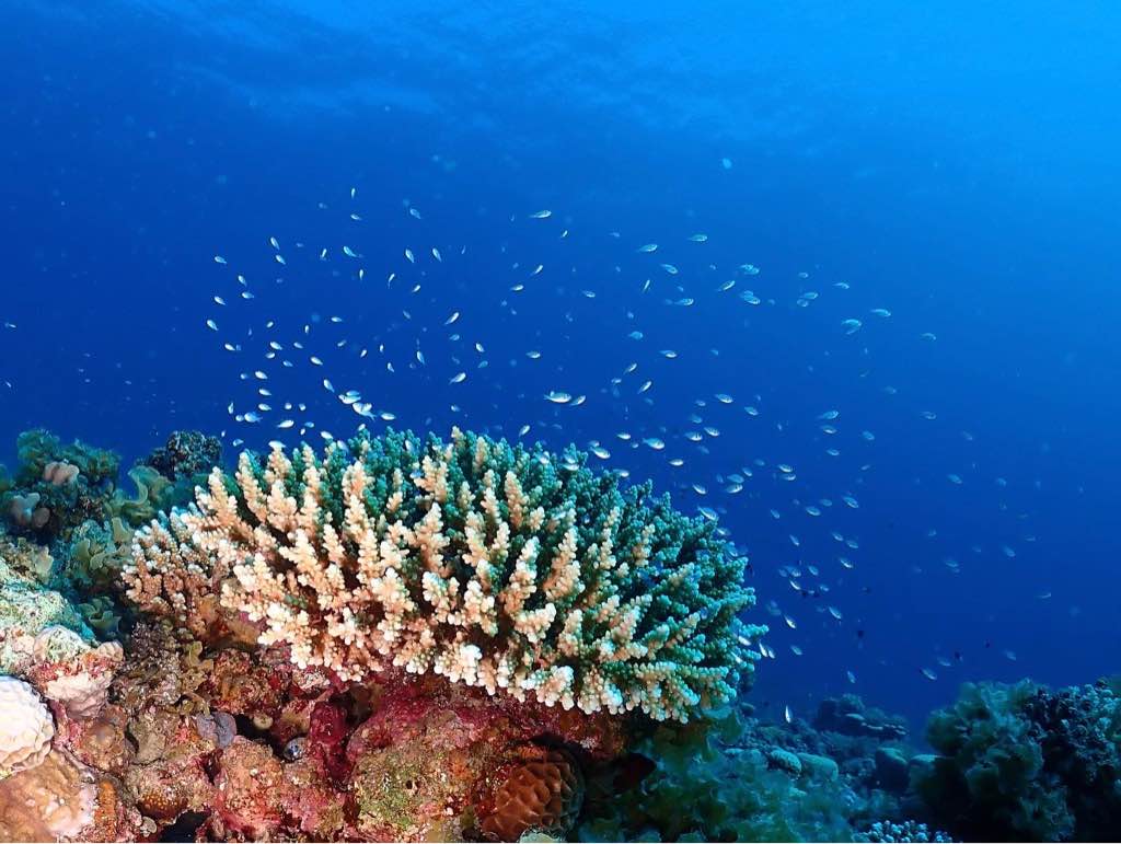
coral
7
12.160375338089, -68.282510308534
Most of the debris came from the boats
Liguana skin (from molding )
Calm
Dive Friends Bonaire
Duncan Versteegh
1
1
2
1
4
3
9
2
18.00
64
13.00
2.00
2
measured
2
3432.00
1
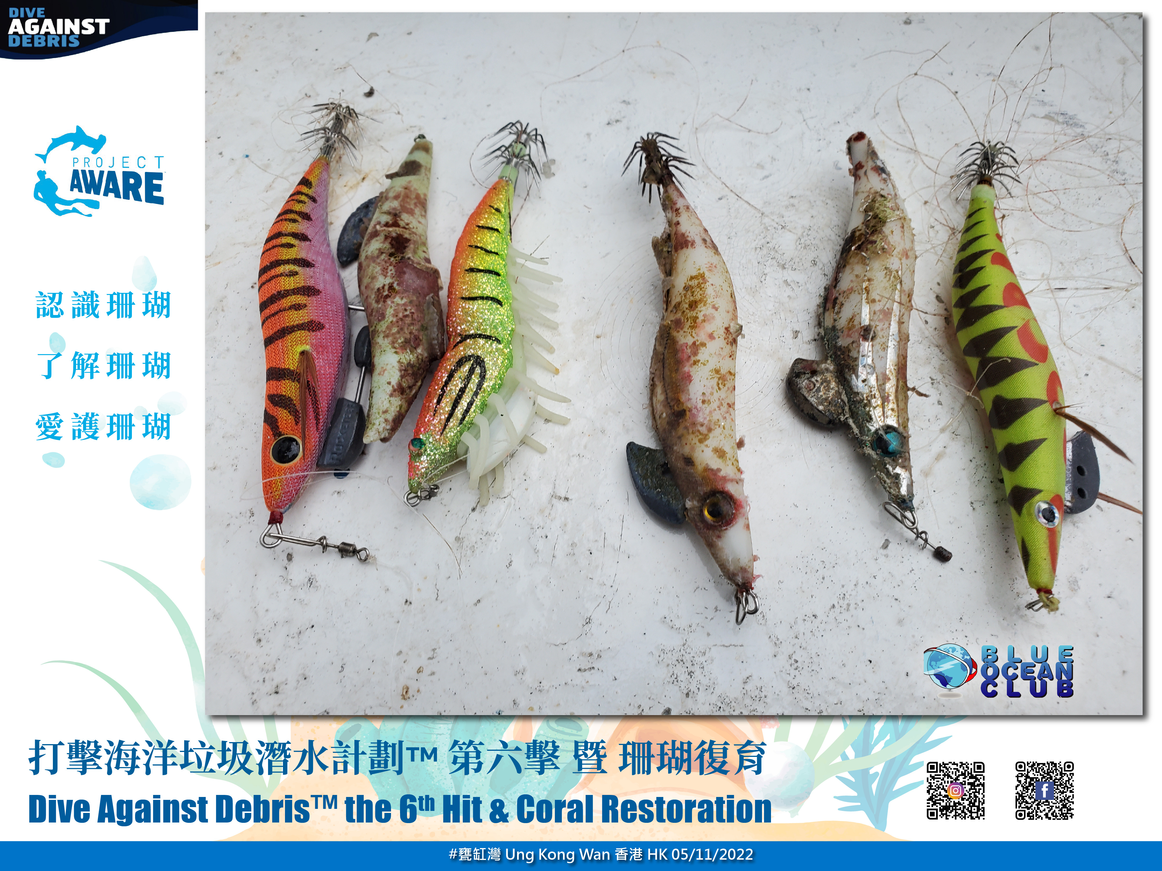
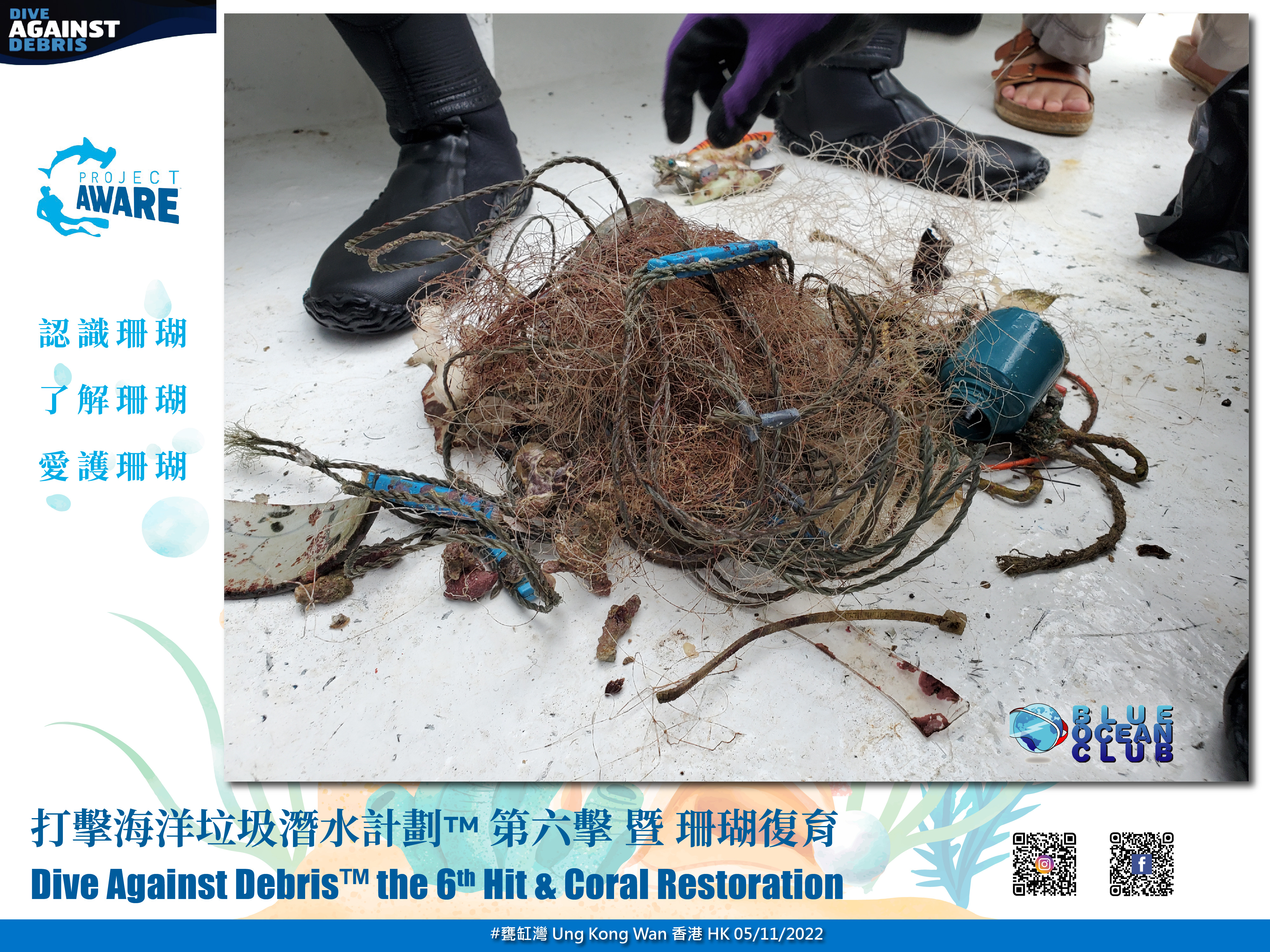
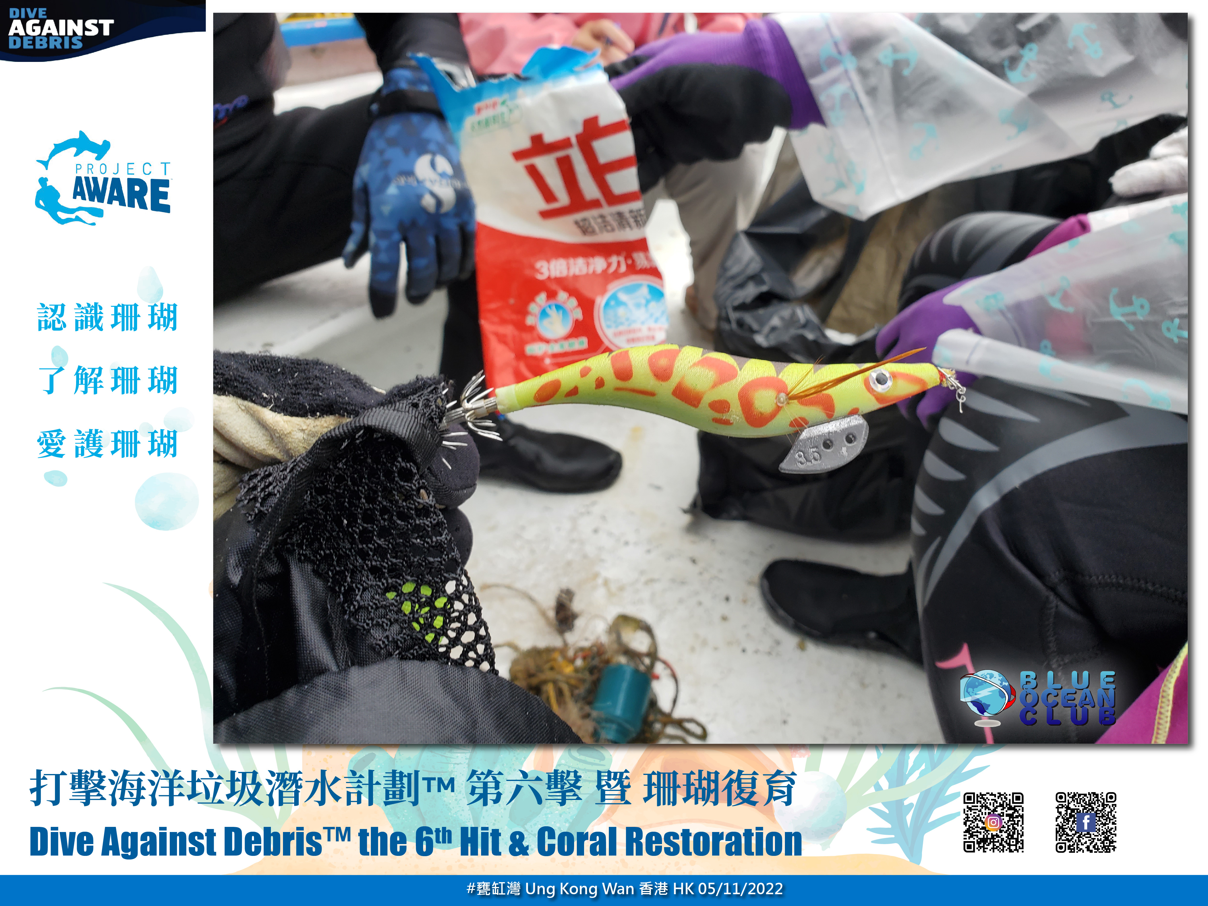
fishing lines; animals can get stuck in it
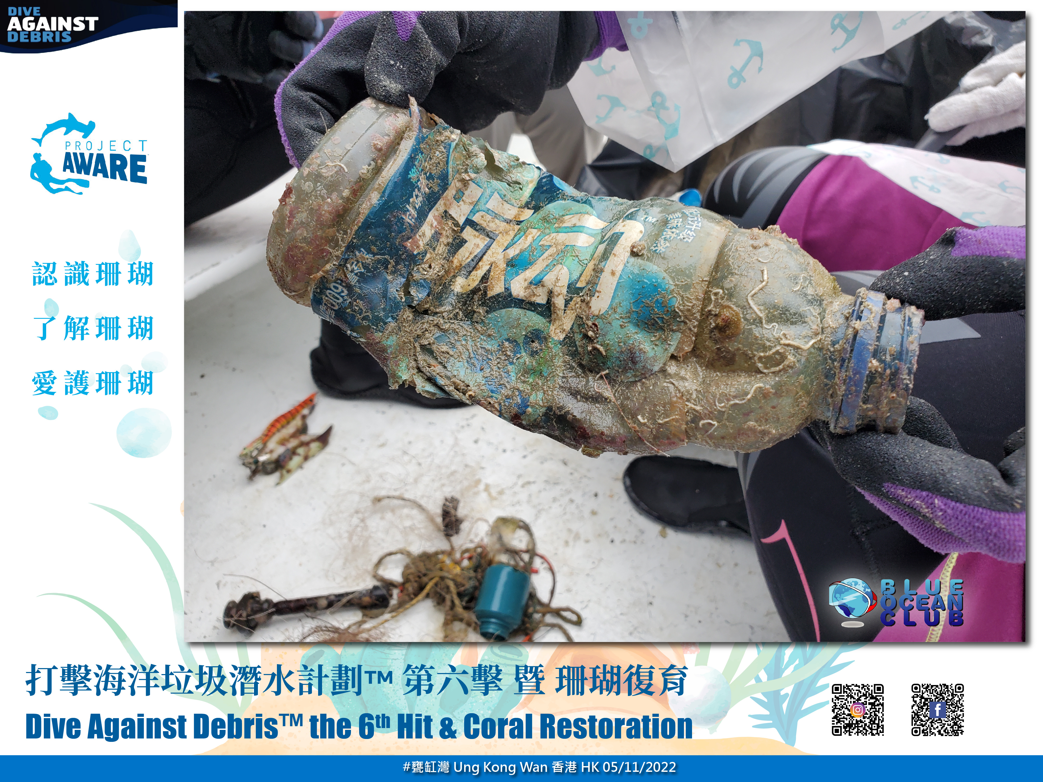
plastic; animals like turtles can mistaken the plastic for food
glass; we found so many glass as well in the the shallows. Pleople can get hurt by stepping on it.
On
kilograms
I have debris data to report
34
Smooth (wavelets) for waves 0.1 - 0.5 meter high
m2
meters
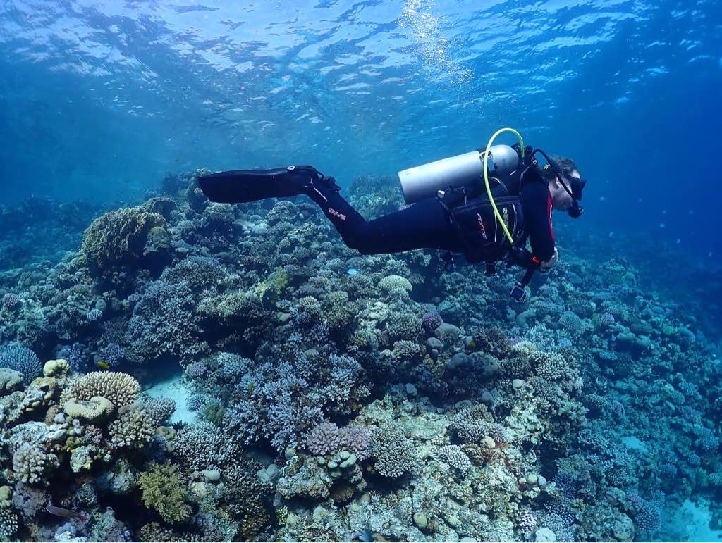
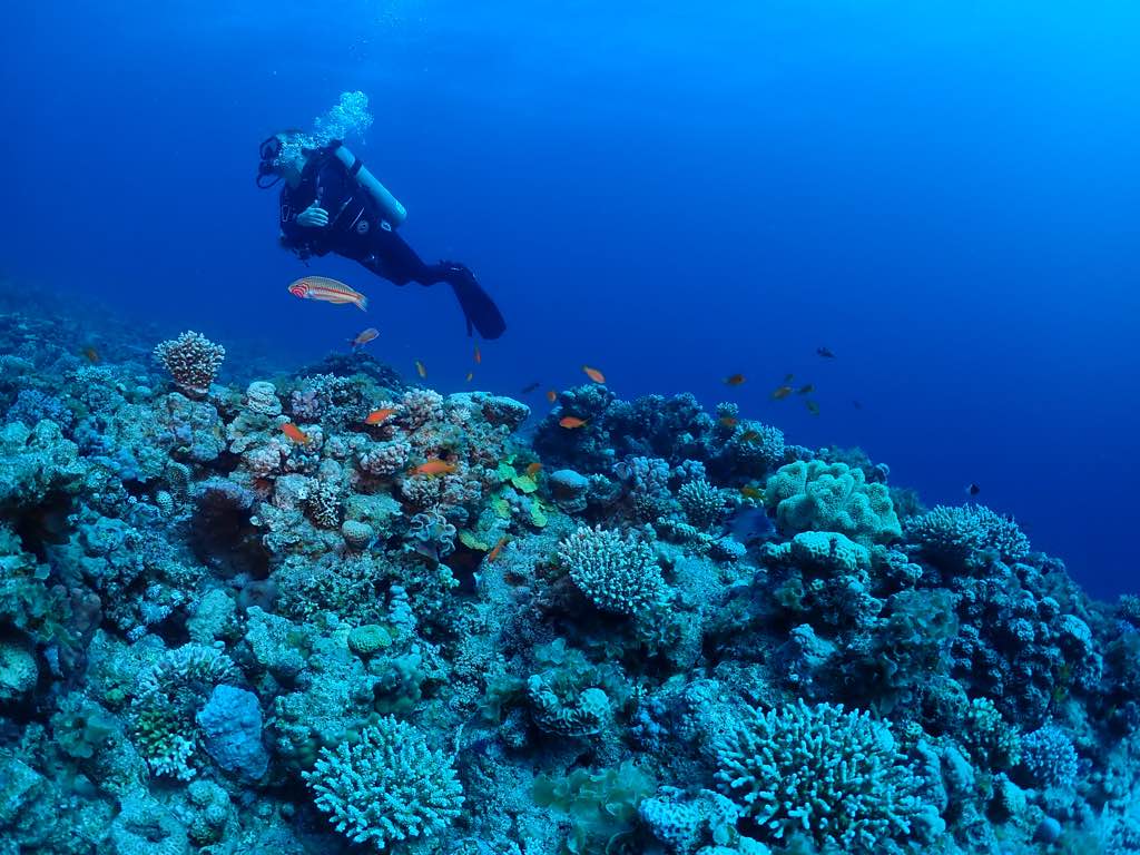
coral reef
2
1
3
3
3
4
City
Kralendijk
Map Help
Dive Location
If you know your survey site coordinates, enter them manually in decimal degrees using WGS84 Map Datum. Use the minus sign for latitudes south of the equator and longitudes west of the Prime Meridian to 180 degrees.
If you do not know your survey site coordinates, click the “Map Location” tab to use the map to zoom into your survey site and drop the pin on the map to fall within your survey dive site in the water (not on land or the beach). Ensure you zoom in as much as possible to ensure data accuracy.
Entangled Help