Menu

DROC - Three Rocks

19.773056, -70.514972

sand
Dive Cabarete
Charles
2
0.00
52
15.00
3.00
estimated
500.00
On
kilograms
Our Survey Site was free of debris
Moderate to rough for waves greater than 1.25 meters m2
meters
coral reef
Dominican Republic
State\Province
Puerto Plata
City
Sosua
Map Help


Dive Location

If you know your survey site coordinates, enter them manually in decimal degrees using WGS84 Map Datum. Use the minus sign for latitudes south of the equator and longitudes west of the Prime Meridian to 180 degrees.

If you do not know your survey site coordinates, click the “Map Location” tab to use the map to zoom into your survey site and drop the pin on the map to fall within your survey dive site in the water (not on land or the beach). Ensure you zoom in as much as possible to ensure data accuracy.

Entangled Help


Use the vertical tabs below to record any entangled animals you found of each type.

Fan Canyon

3
0
0
1

2.910314, 104.11276

0
0
0
coral
0
1
0
0
0
Yes
Require team & proper tools for clear ghost net. Still a lot underwater
Ghost Net
Mild Current
Blue Bubble Scuba
Faissal Mustafa
0
0
0
0
0
0
0
0
0
0
0
0
0
0
0
0
0
0
0
2
0
0
0
0
0
0
1
0
0
0
0
0
0
0
0
0
1.00
27
14.60
1.50
0
estimated
0
0
50.00
0
0
0
0
0
Around 1.5m
0
On
kilograms
0
I have debris data to report
0
0
0
Smooth (wavelets) for waves 0.1 - 0.5 meter high
0
0
0
0
0
0
0
ft2
0
0
meters
coral reef
0
0
0
0
0
0
0
0
0
0
0
0
0
0
0
0
0
0
0
0
0
0
0
0
0
0
0
0
0
Malaysia
State\Province
Pahang
City
Tioman
Map Help


Dive Location

If you know your survey site coordinates, enter them manually in decimal degrees using WGS84 Map Datum. Use the minus sign for latitudes south of the equator and longitudes west of the Prime Meridian to 180 degrees.

If you do not know your survey site coordinates, click the “Map Location” tab to use the map to zoom into your survey site and drop the pin on the map to fall within your survey dive site in the water (not on land or the beach). Ensure you zoom in as much as possible to ensure data accuracy.

Entangled Help


Use the vertical tabs below to record any entangled animals you found of each type.

MYOC - Romantic Reef S26664

1
0
0
0

5.9238481897581, 102.71611584115

0
0
0
coral
0
1
0
1
0
No
Calm
Sea Voice Divers
Rahmaan
0
0
0
1
0
0
0
0
0
0
0
0
0
0
0
0
0
0
0
4
0
0
0
0
0
0
1
0
1
0
0
0
0
0
0
0
0.50
50
16.00
12.00
0
measured
0
0
1033.29
0
0
0
0
0
Plastic bottle
0
On
kilograms
0
I have debris data to report
0
0
0
Calm (glassy to rippled) for waves 0 – 0.1 meter high
0
0
0
0
0
0
0
m2
0
0
meters
coral reef
0
0
0
0
0
0
0
0
0
0
0
0
0
0
0
0
0
0
0
0
0
0
0
0
0
0
0
0
0
Malaysia
State\Province
Terengganu
City
Perhentian Island
Map Help


Dive Location

If you know your survey site coordinates, enter them manually in decimal degrees using WGS84 Map Datum. Use the minus sign for latitudes south of the equator and longitudes west of the Prime Meridian to 180 degrees.

If you do not know your survey site coordinates, click the “Map Location” tab to use the map to zoom into your survey site and drop the pin on the map to fall within your survey dive site in the water (not on land or the beach). Ensure you zoom in as much as possible to ensure data accuracy.

Entangled Help


Use the vertical tabs below to record any entangled animals you found of each type.

DeCosta Bay

2
41
0
0

35.008785384877, 34.062363733308

0
0
0
rock
0
1
0
0
2
Hungarian ID card
Taba Diving Centre
Steven Fox-Kirk
1
0
0
2
0
0
0
0
4
1
1
0
0
0
0
0
0
3
0
4
8
0
1
0
6
0
8
0
0
0
0
0
0
0
0
0
4.00
61
9.00
1.00
0
estimated
0
0
17303.80
0
0
0
0
0
4
On
kilograms
0
I have debris data to report
0
0
0
Calm (glassy to rippled) for waves 0 – 0.1 meter high
3
1
0
0
1
0
0
m2
0
1
meters
rocky reef
14
0
0
0
0
1
0
0
0
0
1
0
0
0
0
1
0
2
0
0
0
0
0
0
0
0
0
0
0
Cyprus
City
Protaras
Map Help


Dive Location

If you know your survey site coordinates, enter them manually in decimal degrees using WGS84 Map Datum. Use the minus sign for latitudes south of the equator and longitudes west of the Prime Meridian to 180 degrees.

If you do not know your survey site coordinates, click the “Map Location” tab to use the map to zoom into your survey site and drop the pin on the map to fall within your survey dive site in the water (not on land or the beach). Ensure you zoom in as much as possible to ensure data accuracy.

Entangled Help


Use the vertical tabs below to record any entangled animals you found of each type.

Bully

1

24.8862, -80.550605

coral
3
2
Anchor
Islamorada Dive Center/FKNMS
Team IDC
27
60.00
40
80.00
45.00
estimated
600.00
On
pounds
I have debris data to report
3
Calm (glassy to rippled) for waves 0 – 0.1 meter high
Released Unharmed
Nurse Shark
1
ft2
5
feet
coral reef
Fishing hook and line
United States
Map Help


Dive Location

If you know your survey site coordinates, enter them manually in decimal degrees using WGS84 Map Datum. Use the minus sign for latitudes south of the equator and longitudes west of the Prime Meridian to 180 degrees.

If you do not know your survey site coordinates, click the “Map Location” tab to use the map to zoom into your survey site and drop the pin on the map to fall within your survey dive site in the water (not on land or the beach). Ensure you zoom in as much as possible to ensure data accuracy.
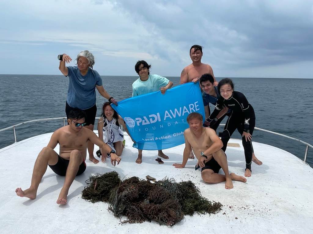
Entangled Help


Use the vertical tabs below to record any entangled animals you found of each type.

Runway

24.886278, -80.553588

coral
3
1
Anchor
Islamorada Dive Center/FKNMS
Team IDC
27
30.00
40
60.00
30.00
estimated
700.00
2
On
pounds
I have debris data to report
Calm (glassy to rippled) for waves 0 – 0.1 meter high
1
ft2
2
feet
coral reef
United States
Map Help


Dive Location

If you know your survey site coordinates, enter them manually in decimal degrees using WGS84 Map Datum. Use the minus sign for latitudes south of the equator and longitudes west of the Prime Meridian to 180 degrees.

If you do not know your survey site coordinates, click the “Map Location” tab to use the map to zoom into your survey site and drop the pin on the map to fall within your survey dive site in the water (not on land or the beach). Ensure you zoom in as much as possible to ensure data accuracy.
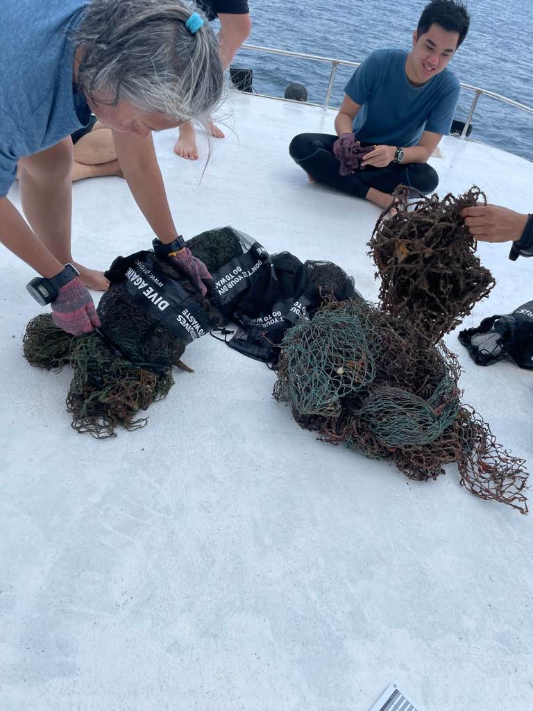
Entangled Help


Use the vertical tabs below to record any entangled animals you found of each type.

Rocky Top

24.53699, -80.34341

coral
Islamorada Dive Center/FKNMS
Joe
5
1
0.00
45
30.00
20.00
estimated
500.00
On
pounds
I have debris data to report
Calm (glassy to rippled) for waves 0 – 0.1 meter high ft2
feet
coral reef
United States
Map Help


Dive Location

If you know your survey site coordinates, enter them manually in decimal degrees using WGS84 Map Datum. Use the minus sign for latitudes south of the equator and longitudes west of the Prime Meridian to 180 degrees.

If you do not know your survey site coordinates, click the “Map Location” tab to use the map to zoom into your survey site and drop the pin on the map to fall within your survey dive site in the water (not on land or the beach). Ensure you zoom in as much as possible to ensure data accuracy.
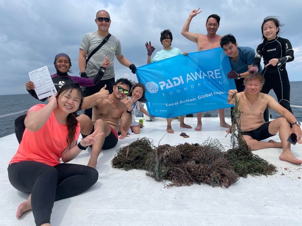
Entangled Help


Use the vertical tabs below to record any entangled animals you found of each type.

Bannerfish Bay

4
0
4
0

28.498427, 34.518141

0
0
0
seagrass
0
4
4
2
0
Fair
23
Chewing gum
H2O Divers
Anabel
0
1
0
8
83
0
0
0
1
0
1
0
0
0
0
0
0
5
2
5
0
0
0
0
0
0
3
0
0
0
0
0
0
0
0
0
2.00
47
26.00
2.00
2
estimated
0
0
0
0
833.54
0
0
0
0
0
Cigarette butts
Pull tabs of cans
Chewing gum
2
On
kilograms
0
I have debris data to report
0
0
0
Slight for waves 0.5 -1.25 meter high
3
0
0
0
6
0
0
m2
3
1
meters
coral reef
0
0
1
0
0
4
0
23
0
1
0
0
0
2
0
0
0
0
0
0
0
0
0
0
0
0
0
0
0
Egypt
State\Province
South Sinai
City
Dahab
Map Help


Dive Location

If you know your survey site coordinates, enter them manually in decimal degrees using WGS84 Map Datum. Use the minus sign for latitudes south of the equator and longitudes west of the Prime Meridian to 180 degrees.

If you do not know your survey site coordinates, click the “Map Location” tab to use the map to zoom into your survey site and drop the pin on the map to fall within your survey dive site in the water (not on land or the beach). Ensure you zoom in as much as possible to ensure data accuracy.

Entangled Help


Use the vertical tabs below to record any entangled animals you found of each type.

Bannerfish Bay

6
14

28.498447, 34.518145

sand
3
1

28.35185583577, 34.60231946902

Windy
H2O divers
Anabel
2
3
79
1
8
3
3
2
1.50
54
16.00
2.00
estimated
600.00
3
Cigarette butts
Chewing gum
Pull tabs of cans
On
kilograms
I have debris data to report
Smooth (wavelets) for waves 0.1 - 0.5 meter high
3
6
m2
2
meters
coral reef
3
12
2
Egypt
State\Province
South sinai
City
Dahab
Map Help


Dive Location

If you know your survey site coordinates, enter them manually in decimal degrees using WGS84 Map Datum. Use the minus sign for latitudes south of the equator and longitudes west of the Prime Meridian to 180 degrees.

If you do not know your survey site coordinates, click the “Map Location” tab to use the map to zoom into your survey site and drop the pin on the map to fall within your survey dive site in the water (not on land or the beach). Ensure you zoom in as much as possible to ensure data accuracy.

Entangled Help


Use the vertical tabs below to record any entangled animals you found of each type.

The Sands

156
36
0
0

-8.730438, 115.910335

0
0
0
sand
2
170
0
1
0
No
Ball in half
Breezy, Sunny
2
2
1
2
3
2
1
11
1
3
Shampoo wrappers
Cigarette packaging
Hat
Sanitary pads
Face masks
Toothpaste tube
Sponge
Laundry detergent wrappers
Sanitary pad packaging
Diaper bag
SORCE
Michael Sayers
0
0
0
35
0
0
0
0
0
0
21
0
2
0
2
0
0
1
2
5
0
0
2
0
0
0
2
0
0
0
0
0
1
0
0
0
13.10
60
25.00
2.00
0
measured
0
0
0
0
5365.12
0
0
0
0
0
Food wrapper
Plastic bags
0
On
kilograms
0
I have debris data to report
5
0
0
Smooth (wavelets) for waves 0.1 - 0.5 meter high
1
0
0
0
0
0
0
m2
0
0
meters
coral reef
1
0
0
0
0
0
0
0
0
0
0
0
0
3
0
0
1
0
0
0
0
0
1
0
0
0
0
1
0
Indonesia
Map Help


Dive Location

If you know your survey site coordinates, enter them manually in decimal degrees using WGS84 Map Datum. Use the minus sign for latitudes south of the equator and longitudes west of the Prime Meridian to 180 degrees.

If you do not know your survey site coordinates, click the “Map Location” tab to use the map to zoom into your survey site and drop the pin on the map to fall within your survey dive site in the water (not on land or the beach). Ensure you zoom in as much as possible to ensure data accuracy.

Entangled Help


Use the vertical tabs below to record any entangled animals you found of each type.

Subscribe to