Willow Beach
35.875362, -114.666674
3
sand
No
Folding chairs
Sunny and clear
2
2
5
Kayak Oar
Folding Chair
Sunglasses
Mana Scuba
Alex Atkinson
4
29.00
39
30.00
22.00
estimated
0
50170.00
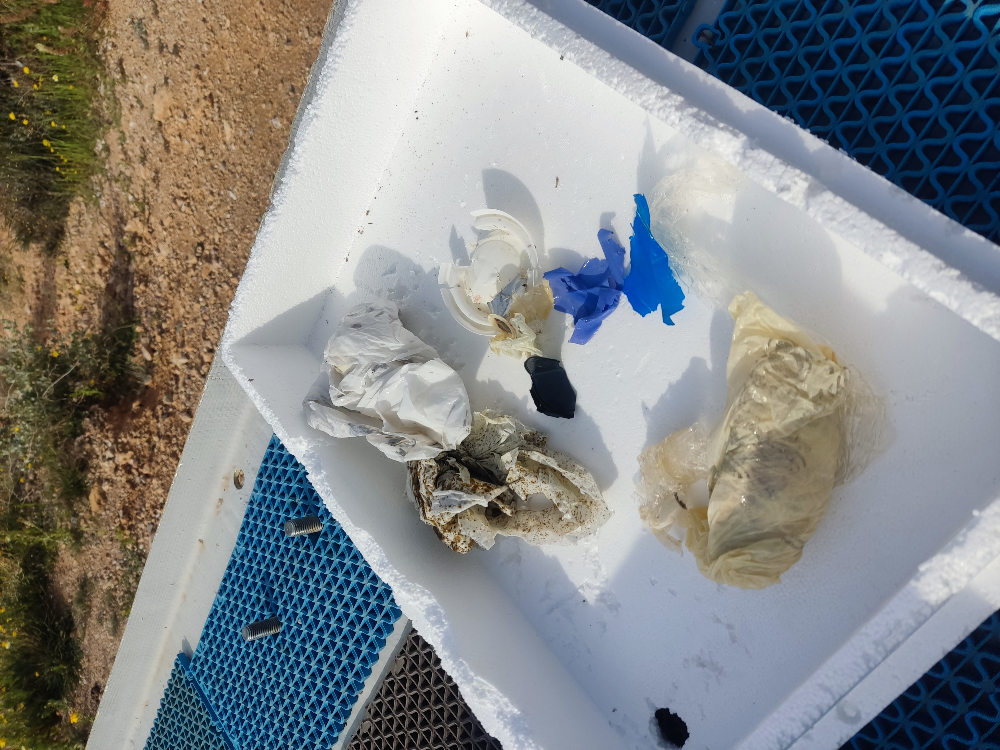
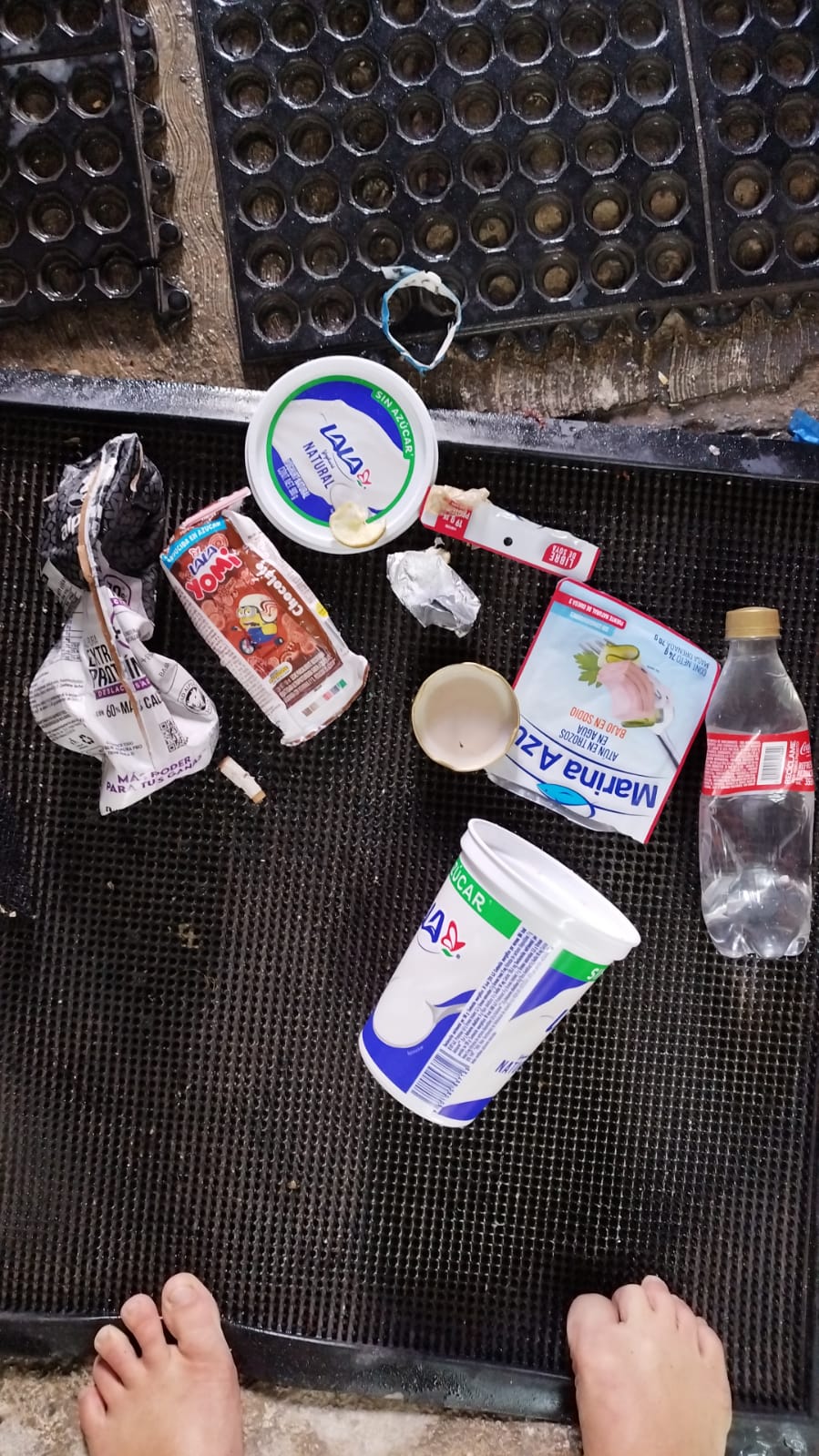
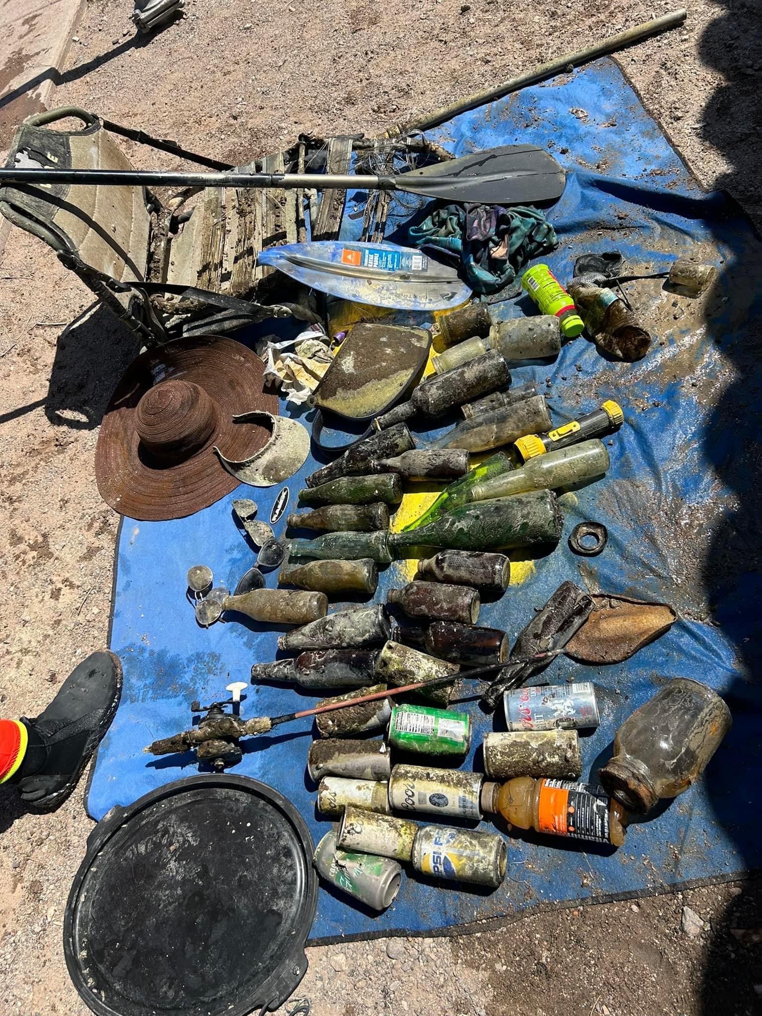
Aluminum Cans
Glass Bottles
Cell Phones
On
pounds
I have debris data to report
18
Calm (glassy to rippled) for waves 0 – 0.1 meter high
ft2
1
feet
seagrass
3
4
8
6
State\Province
Nevada
City
Las Vegas
Map Help
Dive Location
If you know your survey site coordinates, enter them manually in decimal degrees using WGS84 Map Datum. Use the minus sign for latitudes south of the equator and longitudes west of the Prime Meridian to 180 degrees.
If you do not know your survey site coordinates, click the “Map Location” tab to use the map to zoom into your survey site and drop the pin on the map to fall within your survey dive site in the water (not on land or the beach). Ensure you zoom in as much as possible to ensure data accuracy.
Entangled Help