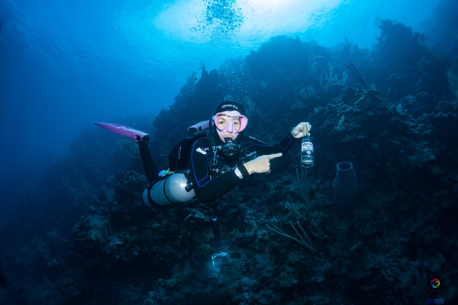
Aow Leuk
66
88
5
1
1
sand
46
10.072369722646, 99.839696043892
current
covid tests
sunny
18
6
2
2
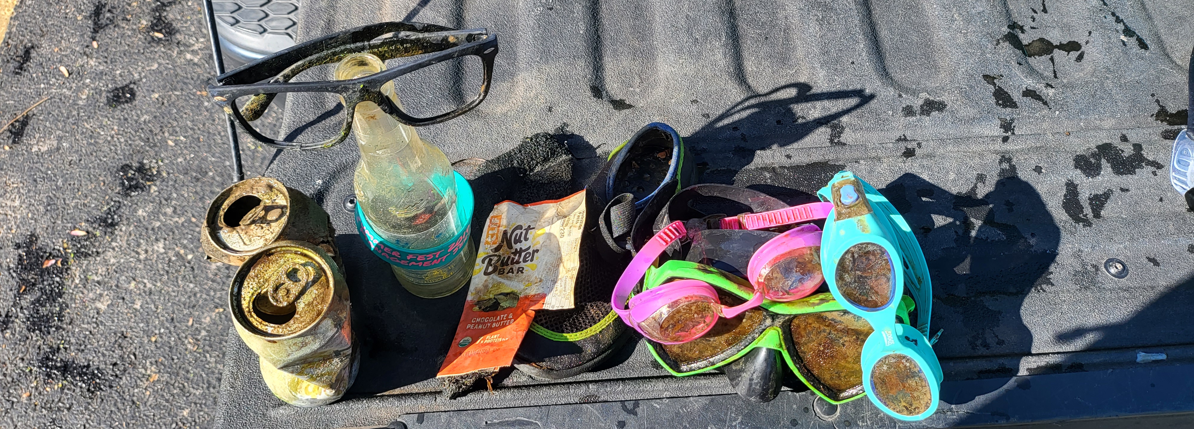
face mask ppe
plastic burlap sack
covid tests
toothpaste tube
The coral Tribe
Jennifer Dowling
1
16
5
2
1
11
2
3
5
67
26
1
15.60
60
7.90
4.80
measured
50.00
face mask ppe
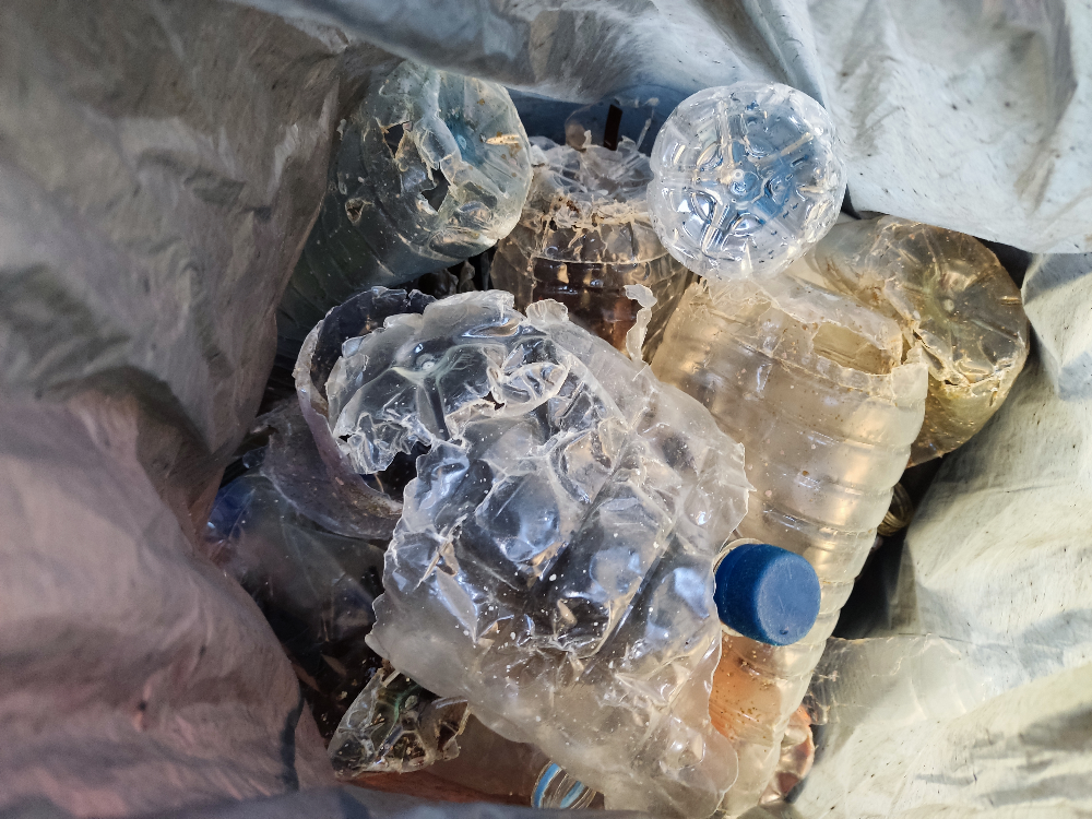
plastic bags
plastic food wrappers
3
On
kilograms
I have debris data to report
2
Calm (glassy to rippled) for waves 0 – 0.1 meter high
1
nets and plastic bag
crab
Released Unharmed
4
0
11
5
m2
49
meters
coral reef
1
5
1
2
1
1
State\Province
Surat Thani
City
Koh Tao
Map Help
Dive Location
If you know your survey site coordinates, enter them manually in decimal degrees using WGS84 Map Datum. Use the minus sign for latitudes south of the equator and longitudes west of the Prime Meridian to 180 degrees.
If you do not know your survey site coordinates, click the “Map Location” tab to use the map to zoom into your survey site and drop the pin on the map to fall within your survey dive site in the water (not on land or the beach). Ensure you zoom in as much as possible to ensure data accuracy.
Entangled Help