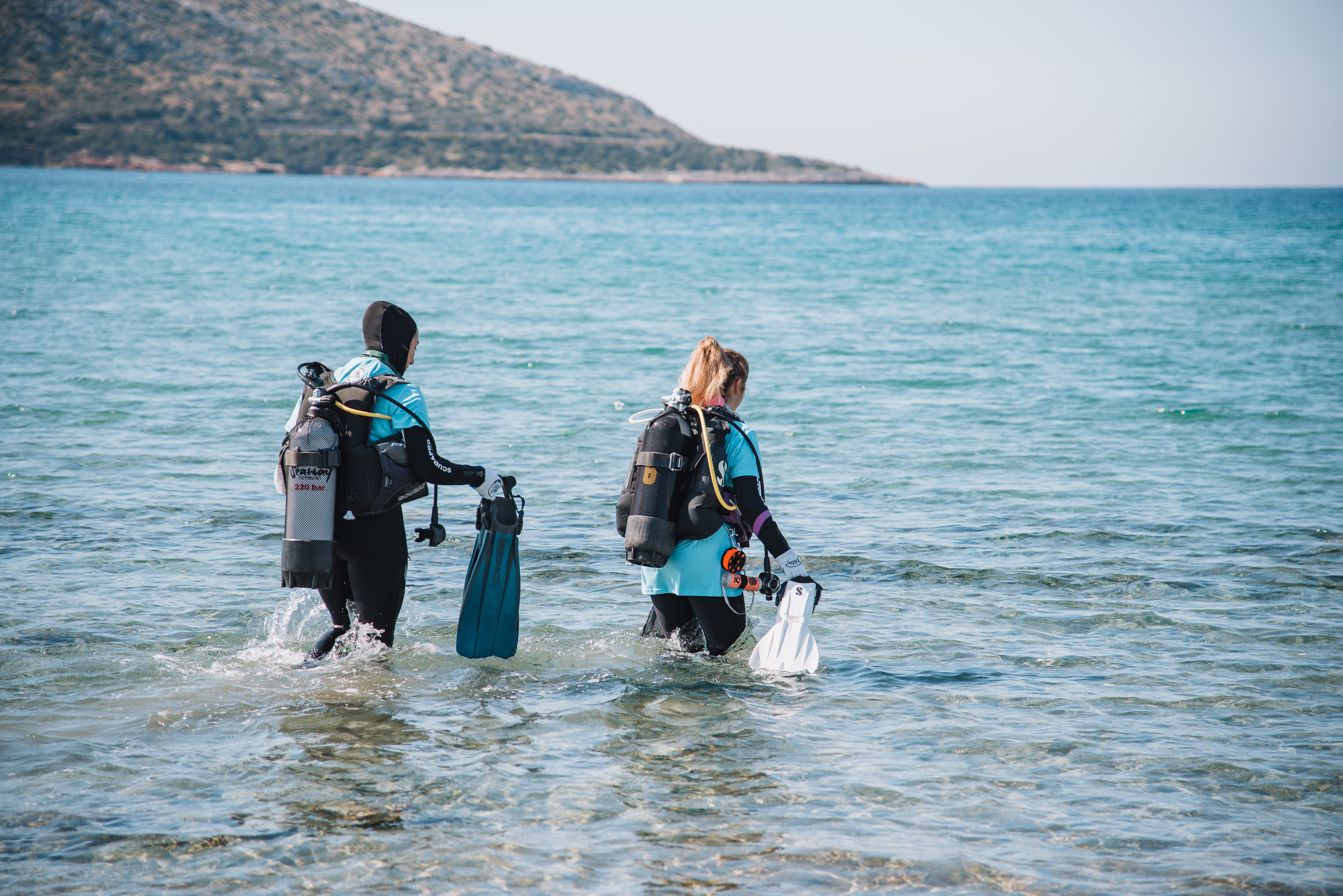
Menu

AOW Kai S28719

0
0
0
0

12.51781, 100.9703

4
0
0
coral
0
0
0
0
0
Good
Bangkok SCUBA Academy
Kitthanes
0
0
0
0
0
0
0
0
0
0
0
0
0
0
0
0
0
0
0
6
0
0
0
0
0
0
3
1
0
0
0
0
0
0
0
0
0.50
30
18.00
5.00
0
estimated
0
0
0
0
40.00
0
0
0
0
0
0
On
kilograms
0
I have debris data to report
0
0
0
Smooth (wavelets) for waves 0.1 - 0.5 meter high
0
0
0
0
0
0
0
m2
0
0
meters
coral reef
0
0
0
0
0
0
0
0
0
0
0
0
0
0
0
0
0
0
0
0
0
0
0
0
0
0
0
0
0
Thailand
State\Province
Chonburi
City
Samaesan
Map Help


Dive Location

If you know your survey site coordinates, enter them manually in decimal degrees using WGS84 Map Datum. Use the minus sign for latitudes south of the equator and longitudes west of the Prime Meridian to 180 degrees.

If you do not know your survey site coordinates, click the “Map Location” tab to use the map to zoom into your survey site and drop the pin on the map to fall within your survey dive site in the water (not on land or the beach). Ensure you zoom in as much as possible to ensure data accuracy.

Entangled Help


Use the vertical tabs below to record any entangled animals you found of each type.

Tori's reef, Bonaire

sand

12.070503502084, -68.280673027039

No
Small plastic bottle
Pedro Felipe Gardeazabal Rodriguez
2
1
0.10
43
25.10
1.30
estimated
2000.00
On
kilograms
I have debris data to report
Smooth (wavelets) for waves 0.1 - 0.5 meter high m2
meters
coral reef
United States
Map Help


Dive Location

If you know your survey site coordinates, enter them manually in decimal degrees using WGS84 Map Datum. Use the minus sign for latitudes south of the equator and longitudes west of the Prime Meridian to 180 degrees.

If you do not know your survey site coordinates, click the “Map Location” tab to use the map to zoom into your survey site and drop the pin on the map to fall within your survey dive site in the water (not on land or the beach). Ensure you zoom in as much as possible to ensure data accuracy.

Entangled Help


Use the vertical tabs below to record any entangled animals you found of each type.

Seacrest Cove 2

0
0
0
0

47.588982, -122.379556

0
0
0
silt
0
0
0
0
0
Seattle dive tour is here regularly
No
Clear sky / 33°
Seattle Dive Tour
Shannon MCIntyre
0
0
0
0
0
0
0
0
0
0
0
0
0
0
0
0
0
1
0
2
0
0
0
0
0
0
0
0
0
0
0
0
0
0
0
0
0.20
31
58.00
10.00
0
estimated
0
0
0
0
5564.67
0
0
0
0
0
0
On
kilograms
0
I have debris data to report
1
0
0
Calm (glassy to rippled) for waves 0 – 0.1 meter high
0
0
0
0
0
0
0
ft2
0
0
feet
other
2
0
0
0
0
0
0
0
0
0
0
0
0
0
0
1
0
0
0
0
0
0
0
1
0
0
0
0
0
United States
State\Province
Washington
City
Seattle
Map Help


Dive Location

If you know your survey site coordinates, enter them manually in decimal degrees using WGS84 Map Datum. Use the minus sign for latitudes south of the equator and longitudes west of the Prime Meridian to 180 degrees.

If you do not know your survey site coordinates, click the “Map Location” tab to use the map to zoom into your survey site and drop the pin on the map to fall within your survey dive site in the water (not on land or the beach). Ensure you zoom in as much as possible to ensure data accuracy.

Entangled Help


Use the vertical tabs below to record any entangled animals you found of each type.

Ecosystem Other
silt

Elevator Shaft

1
1

26.708447083316, -80.02765705825

rock
1

26.715420378623, -80.025938312084

Drift Dive heading north near Breakers Hotel, starting at Elevator Shaft
orange ball
Prior weekend, seas were 4'-6' mostly sunny during day
Hatt's Diving Headquarters
John McGill
1
1
7
1
8.00
45
52.00
42.00
measured
22000.00
24
On
pounds
I have debris data to report
Slight for waves 0.5 -1.25 meter high ft2
feet
coral reef
1
1
United States
State\Province
FL
City
Melbourne
Map Help


Dive Location

If you know your survey site coordinates, enter them manually in decimal degrees using WGS84 Map Datum. Use the minus sign for latitudes south of the equator and longitudes west of the Prime Meridian to 180 degrees.

If you do not know your survey site coordinates, click the “Map Location” tab to use the map to zoom into your survey site and drop the pin on the map to fall within your survey dive site in the water (not on land or the beach). Ensure you zoom in as much as possible to ensure data accuracy.

Entangled Help


Use the vertical tabs below to record any entangled animals you found of each type.

Flower Garden

26.711158050226, -80.025777407921

rock

26.711158050226, -80.025777407921

Our survey was a drift dive starting at Flower Garden on Breakers Reef heading north in a slight north current
golf balls
One the weekend prior, seas were 4'-6' with mostly sunny skies
Hatt's Diving Headquarters
John McGill
7
4
4.20
44
52.00
42.00
measured
22000.00
On
pounds
I have debris data to report
41
Slight for waves 0.5 -1.25 meter high ft2
feet
coral reef
United States
State\Province
FL
City
Melbourne
Map Help


Dive Location

If you know your survey site coordinates, enter them manually in decimal degrees using WGS84 Map Datum. Use the minus sign for latitudes south of the equator and longitudes west of the Prime Meridian to 180 degrees.

If you do not know your survey site coordinates, click the “Map Location” tab to use the map to zoom into your survey site and drop the pin on the map to fall within your survey dive site in the water (not on land or the beach). Ensure you zoom in as much as possible to ensure data accuracy.

Entangled Help


Use the vertical tabs below to record any entangled animals you found of each type.

KM Sipadan

1
1
0
0

2.8269498481958, 104.12217550583

0
0
0
sand
0
1
0
0
0
No
No
Windy
B&J diving centre
Adlin
0
0
0
0
0
0
0
0
0
0
0
0
0
0
0
0
0
0
0
2
0
0
0
0
0
0
0
0
0
0
0
0
0
0
0
0
0.17
34
30.80
24.00
0
measured
0
0
1146.56
0
0
0
0
0
Food wrappers
0
On
kilograms
0
I have debris data to report
0
0
0
Slight for waves 0.5 -1.25 meter high
0
0
0
0
0
0
0
m2
0
0
meters
other
0
0
0
0
0
0
0
0
0
0
0
0
0
0
0
0
0
0
0
0
0
0
0
0
0
0
0
0
0
Malaysia
State\Province
Pahang
City
Rompin
Map Help


Dive Location

If you know your survey site coordinates, enter them manually in decimal degrees using WGS84 Map Datum. Use the minus sign for latitudes south of the equator and longitudes west of the Prime Meridian to 180 degrees.

If you do not know your survey site coordinates, click the “Map Location” tab to use the map to zoom into your survey site and drop the pin on the map to fall within your survey dive site in the water (not on land or the beach). Ensure you zoom in as much as possible to ensure data accuracy.

Entangled Help


Use the vertical tabs below to record any entangled animals you found of each type.

Ecosystem Other
Wreck ship

DROC - Mini Wall

5

19.764027, -70.520323

sand
3
Tropical winter, daily rain
1
1
3
Trex Decking
PVC Fragment
Fibreglass Fragment
Dive Cabarete
Charles Hay
1
1
2
4
5.00
50
18.00
5.00
1
estimated
600.00
On
pounds
I have debris data to report
2
Slight for waves 0.5 -1.25 meter high
1
1
m2
meters
coral reef
1
1
1
Dominican Republic
State\Province
Puerto Plata
City
Sosua
Map Help


Dive Location

If you know your survey site coordinates, enter them manually in decimal degrees using WGS84 Map Datum. Use the minus sign for latitudes south of the equator and longitudes west of the Prime Meridian to 180 degrees.

If you do not know your survey site coordinates, click the “Map Location” tab to use the map to zoom into your survey site and drop the pin on the map to fall within your survey dive site in the water (not on land or the beach). Ensure you zoom in as much as possible to ensure data accuracy.

Entangled Help


Use the vertical tabs below to record any entangled animals you found of each type.

DROC - Mini Wall

-3

19.764027, -70.520323

sand
2
Hairtie
Dive Cabarete
Charles
-2
1
3
2
1.00
43
15.00
3.00
estimated
500.00
1
Hairtie
On
pounds
I have debris data to report
Smooth (wavelets) for waves 0.1 - 0.5 meter high m2
meters
coral reef
1
1
Dominican Republic
State\Province
Puerto Plata
City
Sosua
Map Help


Dive Location

If you know your survey site coordinates, enter them manually in decimal degrees using WGS84 Map Datum. Use the minus sign for latitudes south of the equator and longitudes west of the Prime Meridian to 180 degrees.

If you do not know your survey site coordinates, click the “Map Location” tab to use the map to zoom into your survey site and drop the pin on the map to fall within your survey dive site in the water (not on land or the beach). Ensure you zoom in as much as possible to ensure data accuracy.

Entangled Help


Use the vertical tabs below to record any entangled animals you found of each type.

Kvernberget, Sandefjord

sand

59.067022512235, 10.253699590484

Sunny, 20 knots from N
1
Ghost lobster stones
Sandefjord Dykkeskole
Gunnar Horn
5
12.00
36
20.00
12.00
estimated
22500.00
Lobster and crab stones
Long distance travelling plastic
On
kilograms
I have debris data to report
Smooth (wavelets) for waves 0.1 - 0.5 meter high m2
meters
other
Norway
City
Sandefjord
Map Help


Dive Location

If you know your survey site coordinates, enter them manually in decimal degrees using WGS84 Map Datum. Use the minus sign for latitudes south of the equator and longitudes west of the Prime Meridian to 180 degrees.

If you do not know your survey site coordinates, click the “Map Location” tab to use the map to zoom into your survey site and drop the pin on the map to fall within your survey dive site in the water (not on land or the beach). Ensure you zoom in as much as possible to ensure data accuracy.

Entangled Help


Use the vertical tabs below to record any entangled animals you found of each type.

Ecosystem Other
Sand & rocks

Sheraton Reef

0
0
0
0

4.2393848973641, 73.533808769162

0
0
0
coral
0
0
0
0
0
Carpet
Sunny and choppy
Ocean Junkies
Mohamed Firaas
0
0
0
0
0
0
0
0
0
0
0
0
0
0
0
0
0
0
0
5
0
1
0
0
0
0
0
0
0
0
0
0
0
0
0
0
6.00
50
29.00
10.00
0
estimated
0
0
4342.60
0
0
0
0
0
Fish line
Hooks
Newspaper
0
On
kilograms
0
I have debris data to report
1
0
0
Slight for waves 0.5 -1.25 meter high
0
0
0
Carpet
Crab
Released Unharmed
10
1
0
0
0
m2
1
1
meters
coral reef
0
0
0
0
0
0
0
0
0
0
0
0
0
0
0
0
0
0
0
0
0
0
0
0
0
0
0
0
0
Maldives
State\Province
Kaafu
City
Hulhumale
Map Help


Dive Location

If you know your survey site coordinates, enter them manually in decimal degrees using WGS84 Map Datum. Use the minus sign for latitudes south of the equator and longitudes west of the Prime Meridian to 180 degrees.

If you do not know your survey site coordinates, click the “Map Location” tab to use the map to zoom into your survey site and drop the pin on the map to fall within your survey dive site in the water (not on land or the beach). Ensure you zoom in as much as possible to ensure data accuracy.

Entangled Help


Use the vertical tabs below to record any entangled animals you found of each type.

Subscribe to