


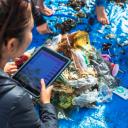
 Marine Debris
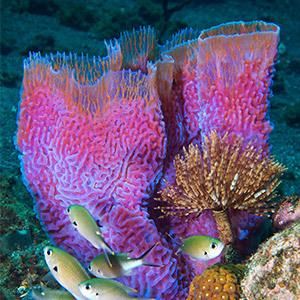
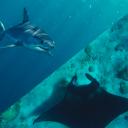 Shark & Ray Protection
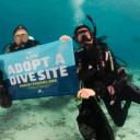 Adopt The Blue

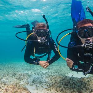


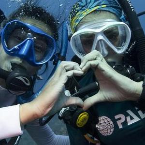


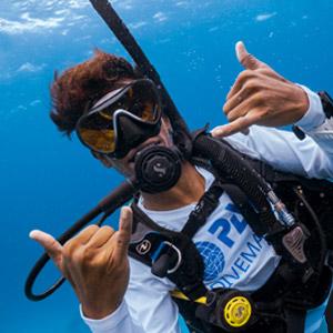
Voice for the Ocean
PADI AWARE Foundation is where passion meets impact. Join the community taking action to protect the underwater world.
Every Action Shapes the Future of Our Blue Planet
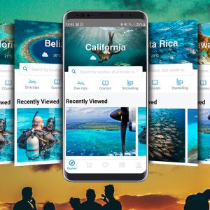
The PADI AWARE Conservation Action Portal is your gateway to making a real impact. Whether you're involved in removing marine debris, advocating for marine protected areas, or supporting citizen science for ocean health, your conservation actions matter. This platform makes it easier than ever to find, participate in, and share impactful conservation actions, empowering a global community of Ocean Torchbearers working together to protect our blue planet.
Your actions fuel global change. Navigate to the Conservation Action Portal to take action, track your contributions, and be part of a growing movement that is shaping the future of our ocean.
DOWNLOAD THE AWARE APP


Together, We Make Change Possible
It takes all of us to protect the places we love. Your support powers conservation efforts across our blue planet.
AWARE Mission and Impact
For over 30 years, PADI AWARE has been driving local action for global ocean conservation, uniting divers, scientists, and ocean advocates to protect marine life and ecosystems. Through citizen science, policy change, and community grants, we empower Ocean Torchbearers to tackle the greatest threats to our ocean – from marine debris and habitat loss to species protection and climate change.


Our Plan to Protect the Ocean
The PADI Blueprint for Ocean Action provides a clear, measurable plan to address the most urgent marine environmental challenges. By mobilizing our global network of divers, dive centers, and partners, we work to:
- Remove ocean debris and combat plastic pollution
- Expand marine protected areas and safeguard biodiversity
- Protect endangered marine species
- Restore degraded marine habitats and enhance ocean climate resilience
Whether you're collecting critical data, advocating for stronger protections, or supporting ocean-positive businesses, your efforts help create a healthier, more sustainable ocean for future generations.

Learn more about PADI AWARE Foundation Partnership Opportunities
Enabling endless opportunities for underwater discovery
Take action, track your contributions, and be part of a growing movement that is shaping the future of our ocean in the Conservation Action Portal at www.action.padiaware.org.
AMERICAS OFFICE
- 30151 Tomas, Suite 200
- Rancho Santa Margarita, CA 92688
- Phone: +1 949 858 7657
- Email: information@padiaware.org
- EIN: 33-0540475
EUROPE, MIDDLE EAST & AFRICA OFFICE
- The Pavilions, Bridgwater Road
- Bristol, BS13 8AE, United Kingdom
- Phone: +44 117 300 7317
- Email: information@padiaware.org
- CN: 1073327
ASIA PACIFIC OFFICE
- Level 4, 120 Old Pittwater Road
- Brookvale, NSW 2100, Australia
- Phone: +61 2 9454 2890
- Email: information@padiaware.org
- ACNC/ABN: 90 716 543 018