Dive Against Debris - DAMA Wreck Dive Site In kish Island 2025
200
sand
26.502297571929, 54.121785861048
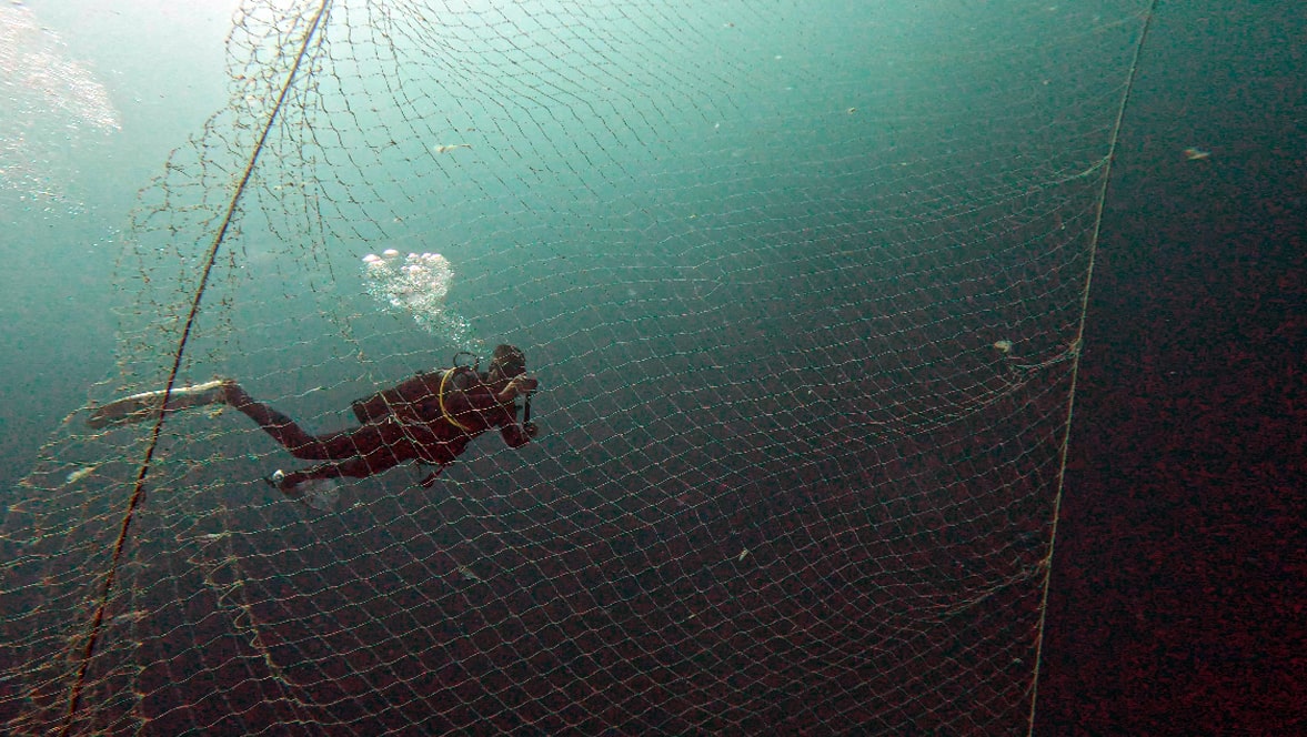
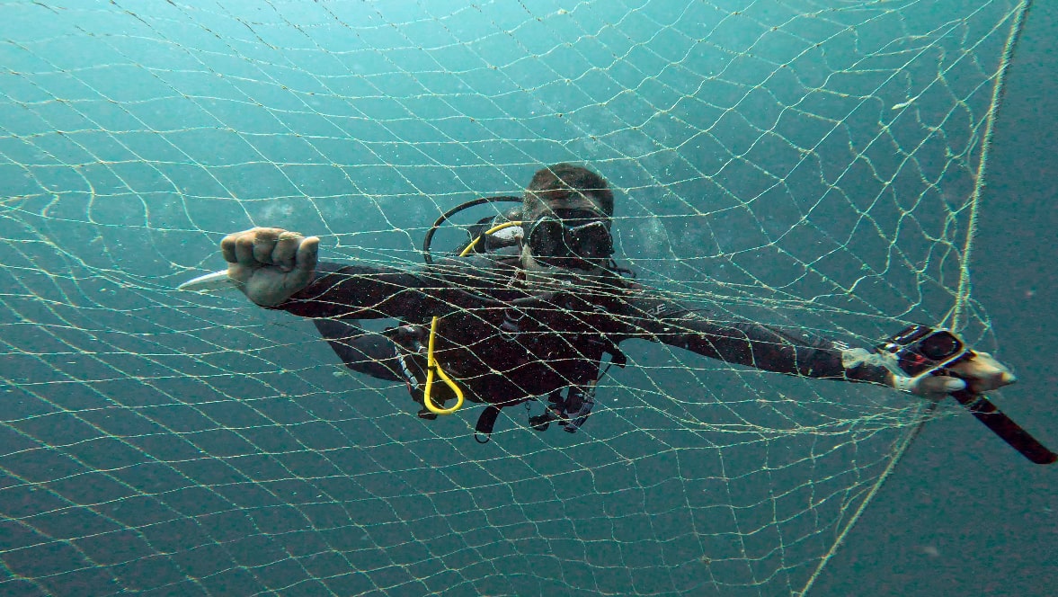
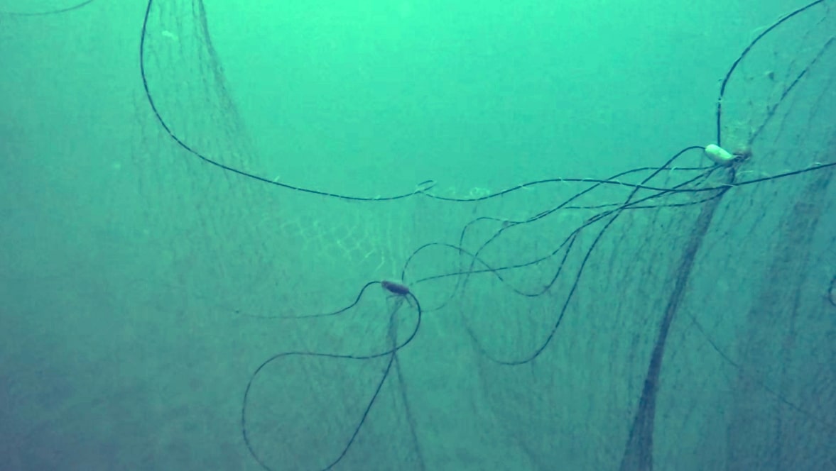
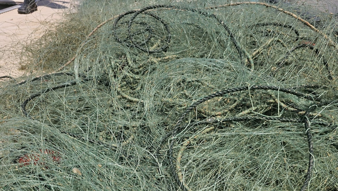
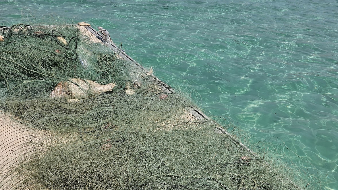
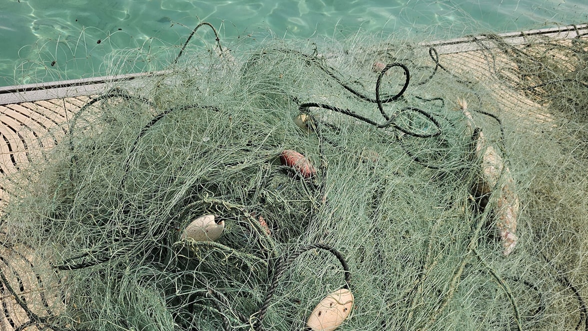
For decades, divers have been cleaning underwater environments of waste. However, despite all efforts, debris from daily human activities continues to accumulate in the depths of the sea. Our hope is to create a healthier underwater environment and help save our planet. Among the most destructive threats to marine life are abandoned fishing nets, which severely damage vital habitats.
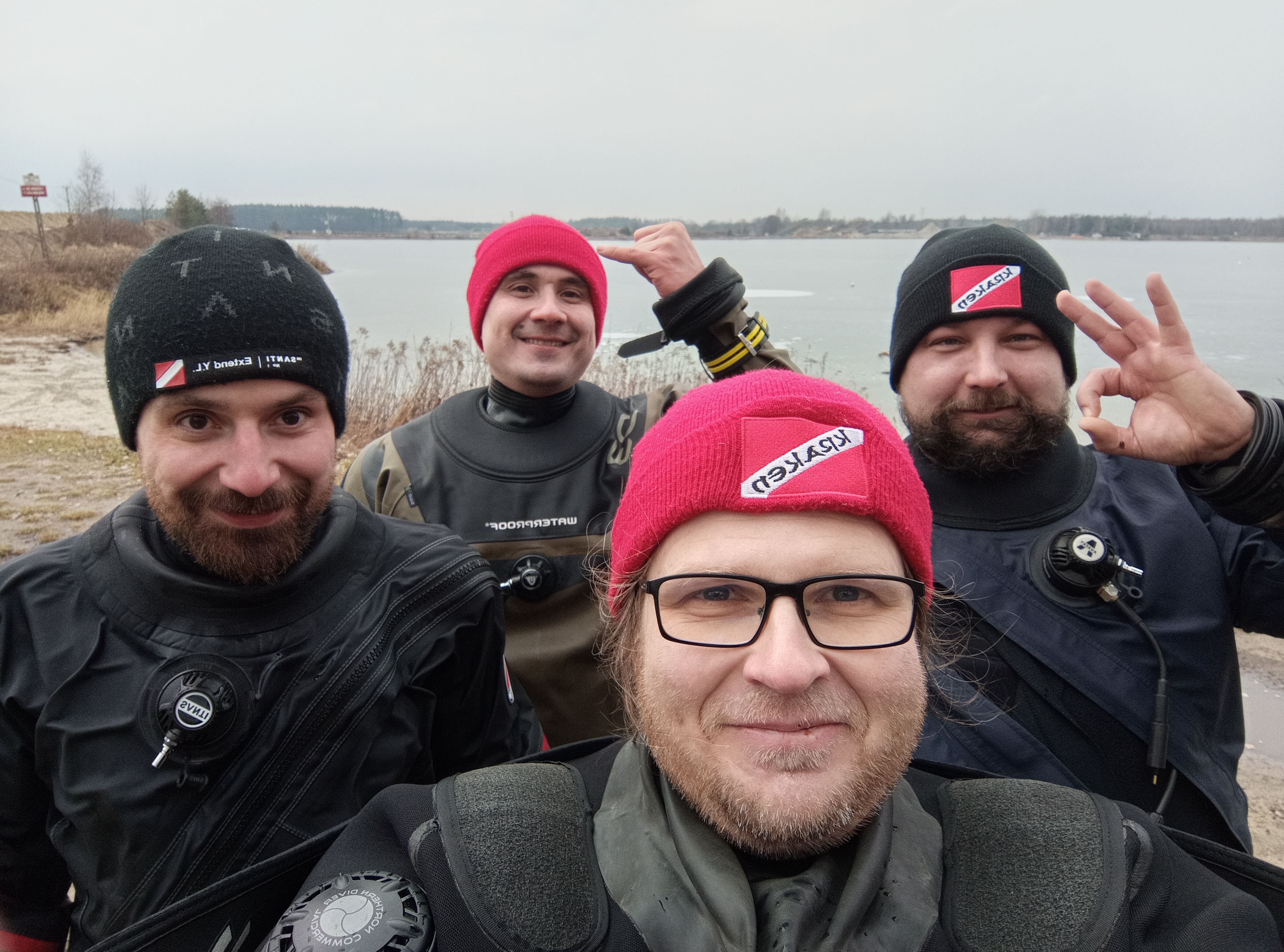
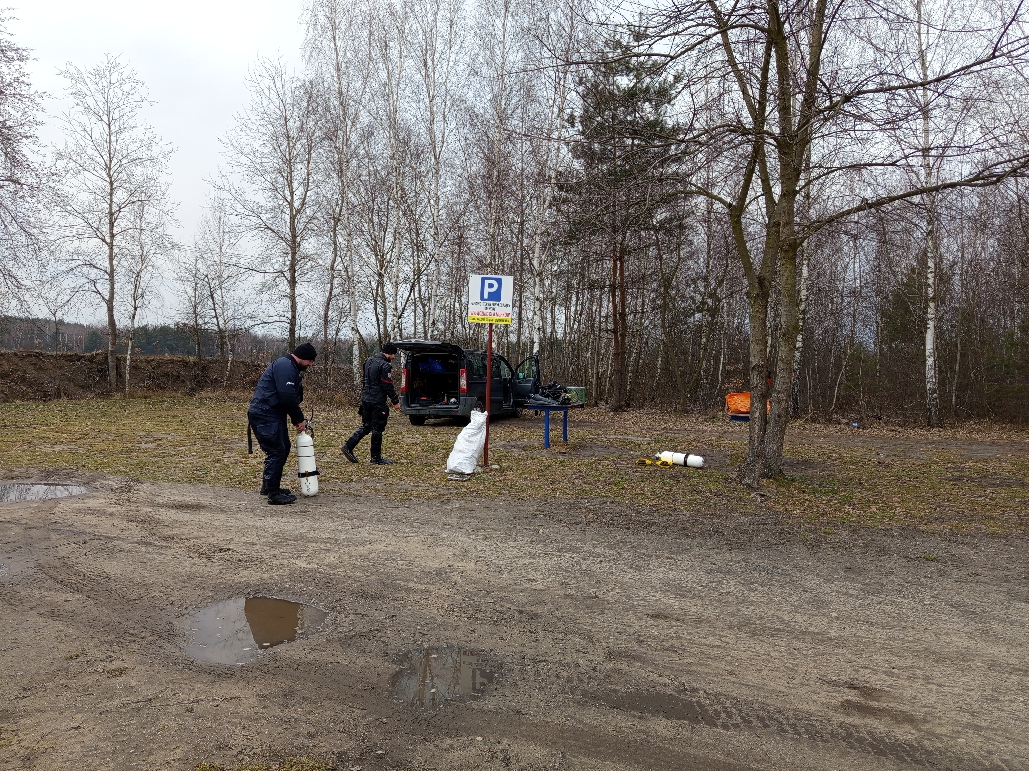
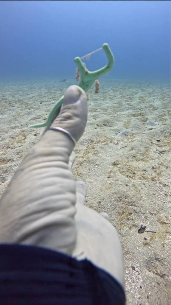
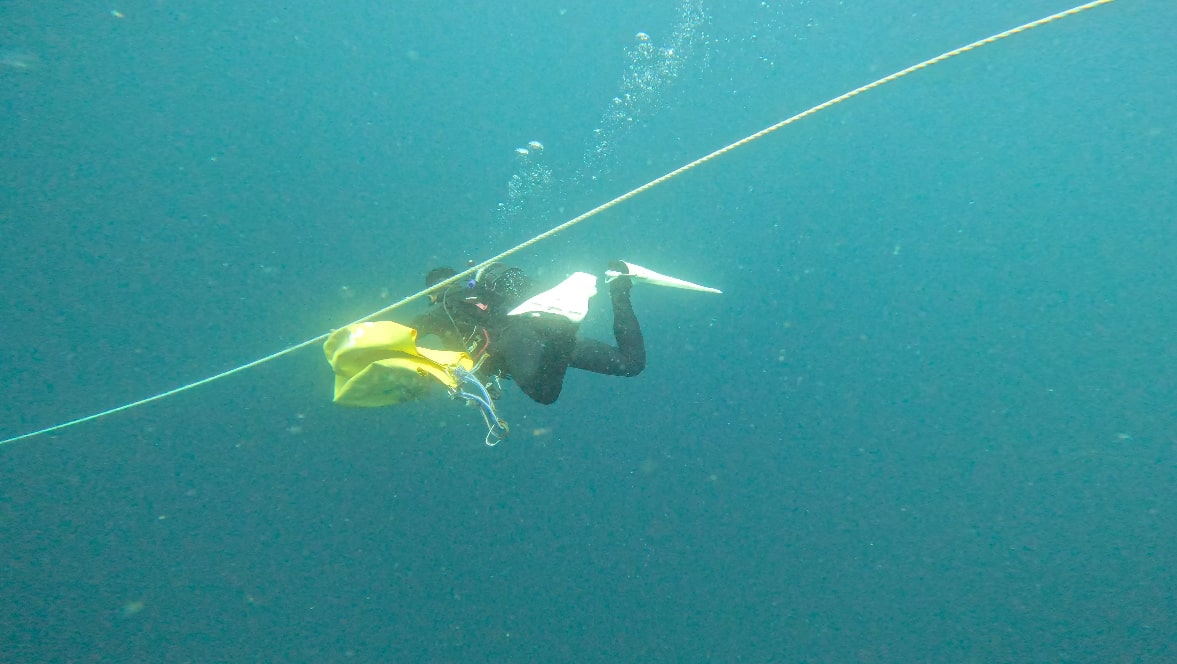
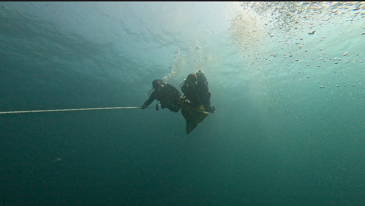
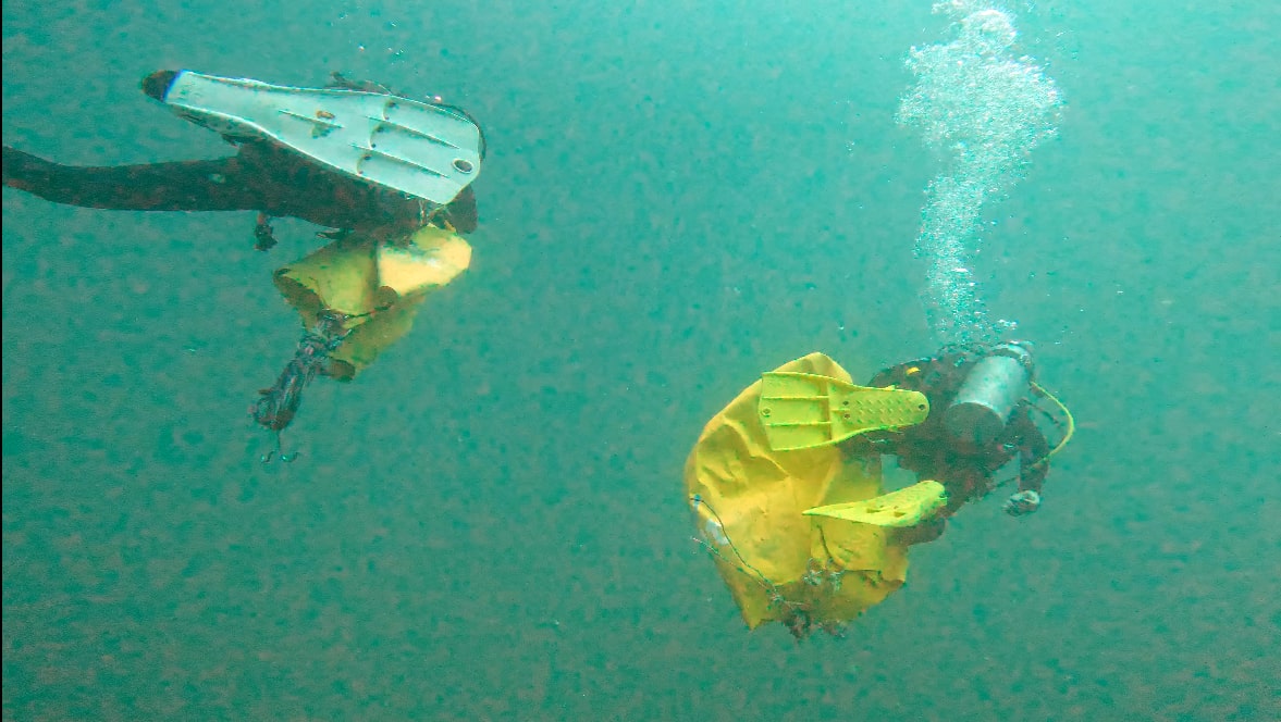
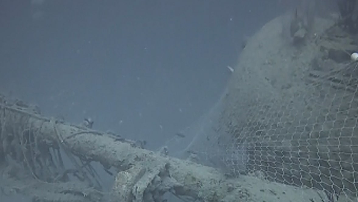
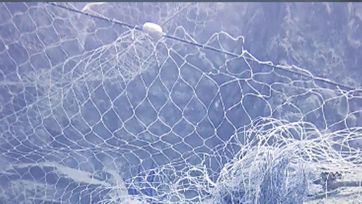
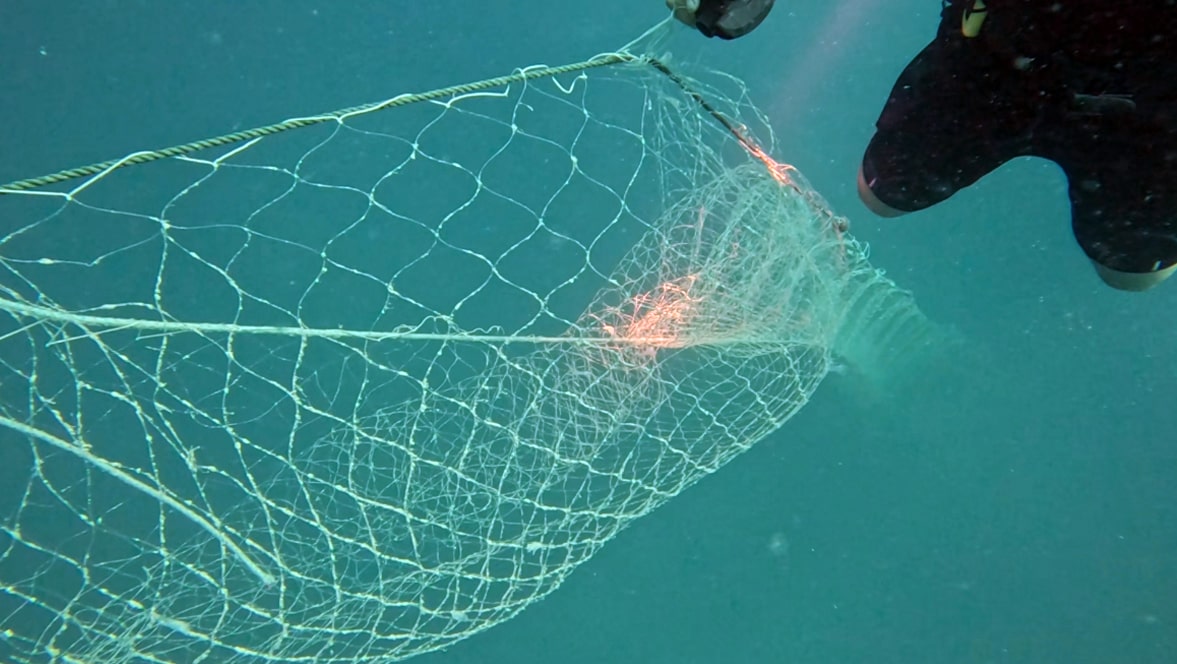
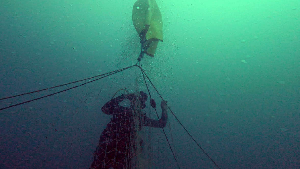
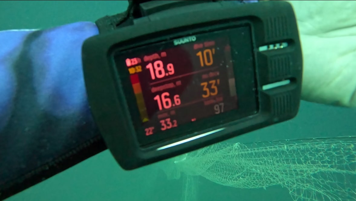
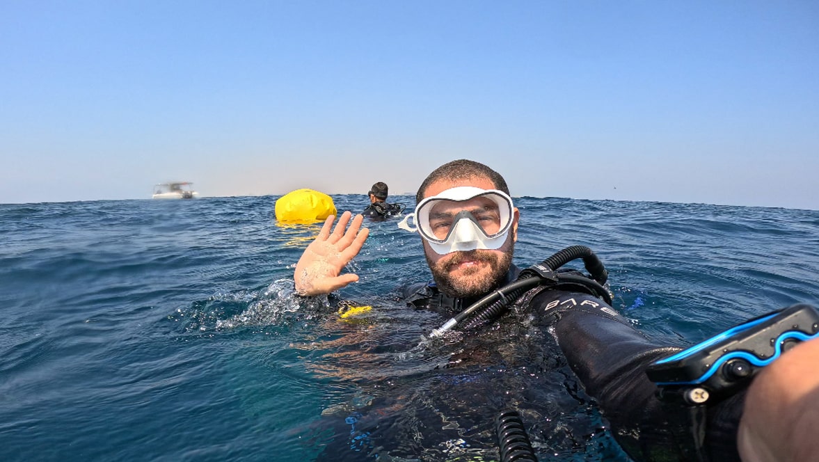
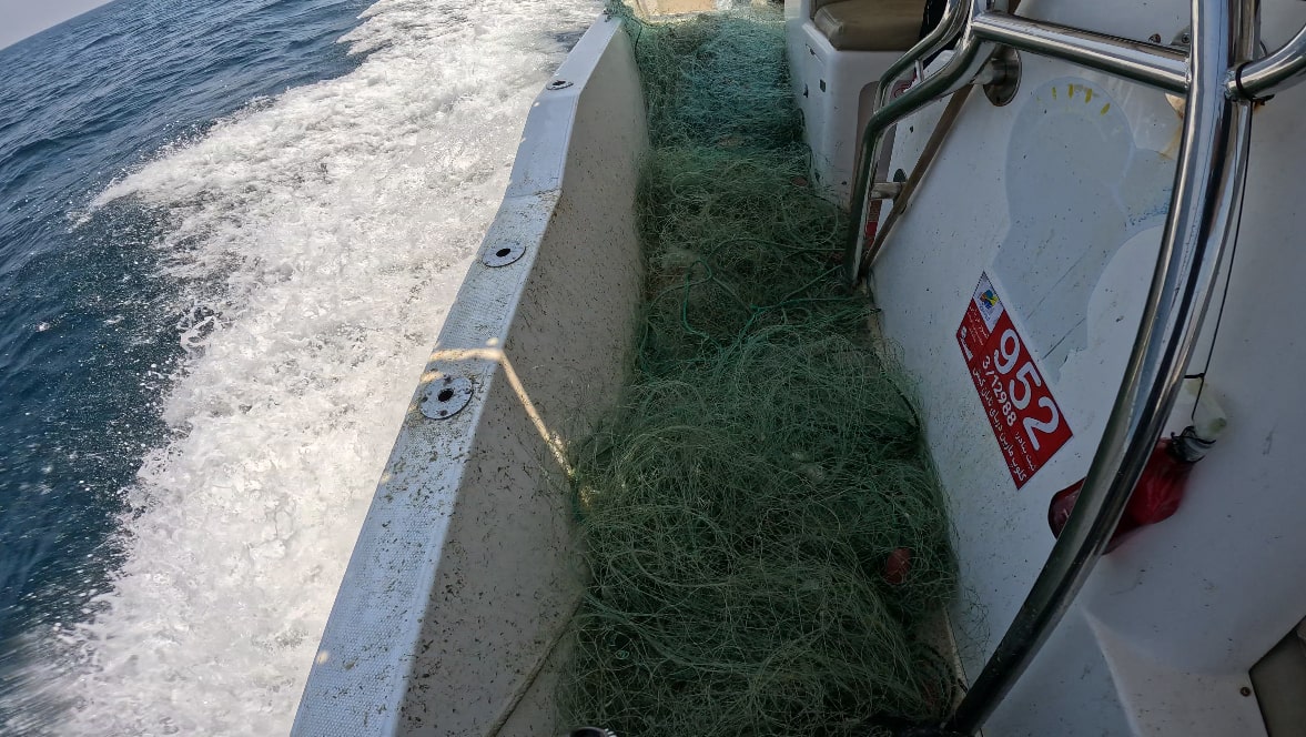
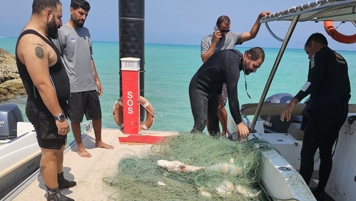
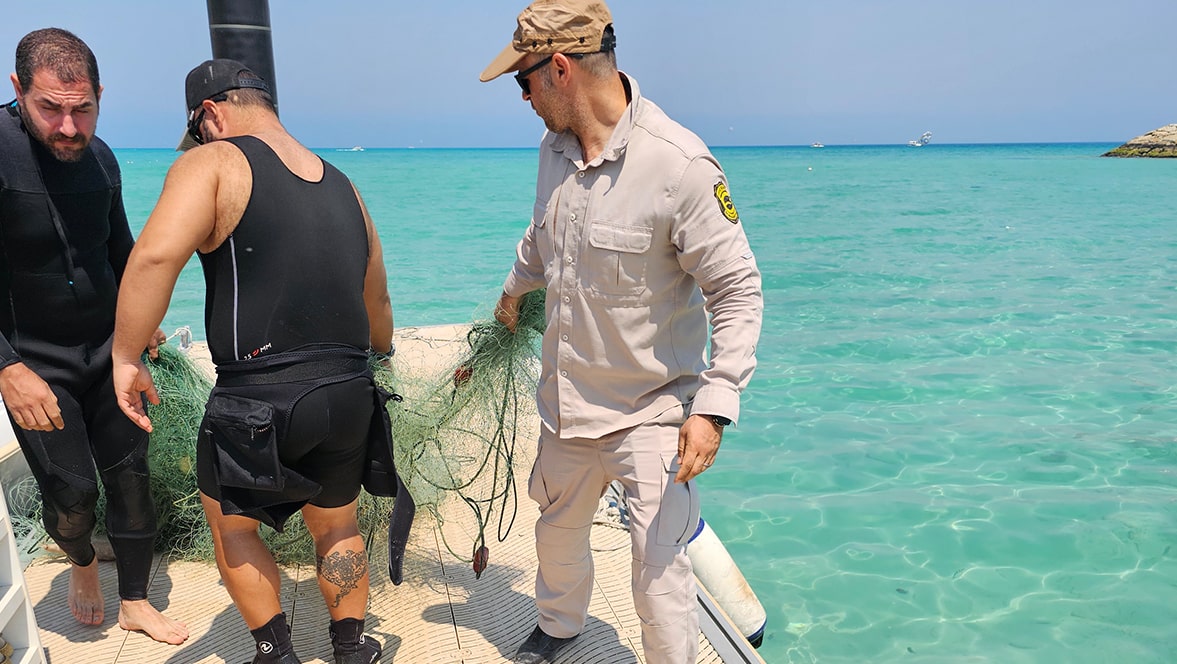
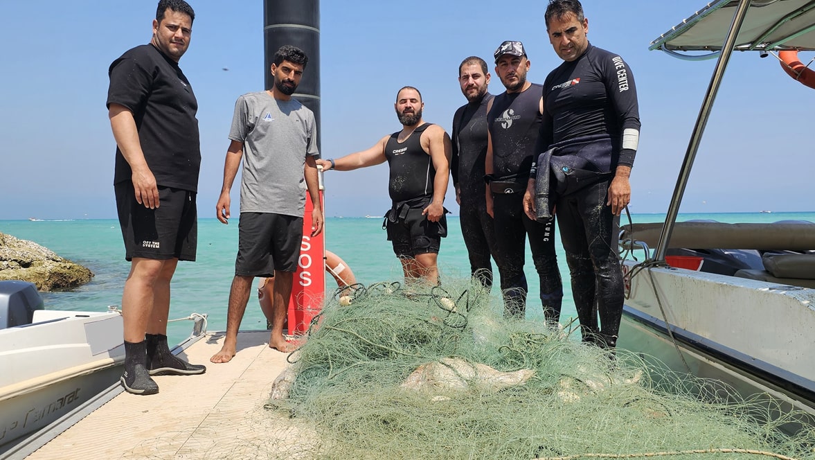
On March 19, 2025, a six-member team was deployed to clear a dive site of an abandoned fishing net. During this operation, four divers, supported by two assisting personnel, worked in two groups to retrieve a 200-meter-long fishing net entangled around the sunken ship Dama at a depth of 34 meters. In a 42-minute dive time, they used two lift bags to free the net from the seabed and successfully brought it to the surface for complete removal.
Thank you to the Department of Environment, Kish Island, and Marin Darya Taban Club for their support. Special appreciation to the divers Saeid Parvin, Mehrdad Hajiloo, Amir Arkanfar, and Babak Khorsand for their participation, as well as to Behnam Malek Jafari and Majid Raisi for their valuable assistance in providing support services.
good
Marin Darya Taban
Saeid Parvin
6
200.00
42
34.00
26.00
measured
250.00
Abandoned fishing nets
On
kilograms
I have debris data to report
Calm (glassy to rippled) for waves 0 – 0.1 meter high
Dead
Parrotfish . Grouper . Butterflyfish . Angelfish
100
Various species of ornamental and edible fish
m2
meters
other
City
kish Island
Map Help
Dive Location
If you know your survey site coordinates, enter them manually in decimal degrees using WGS84 Map Datum. Use the minus sign for latitudes south of the equator and longitudes west of the Prime Meridian to 180 degrees.
If you do not know your survey site coordinates, click the “Map Location” tab to use the map to zoom into your survey site and drop the pin on the map to fall within your survey dive site in the water (not on land or the beach). Ensure you zoom in as much as possible to ensure data accuracy.
Entangled Help