Menu

Potima Beach

0
0
5
30

34.834323191823, 32.391142817646

4
0
25
sand
4
30
12
22
10
Beach not dive site
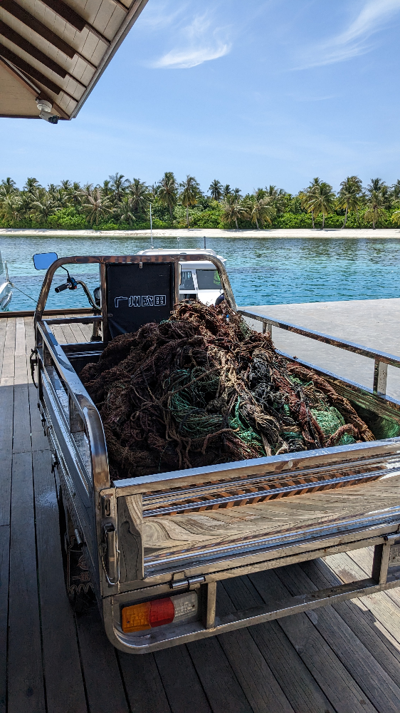
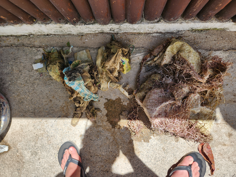
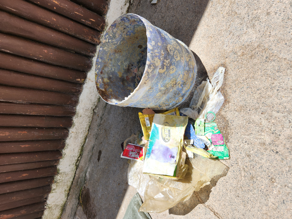
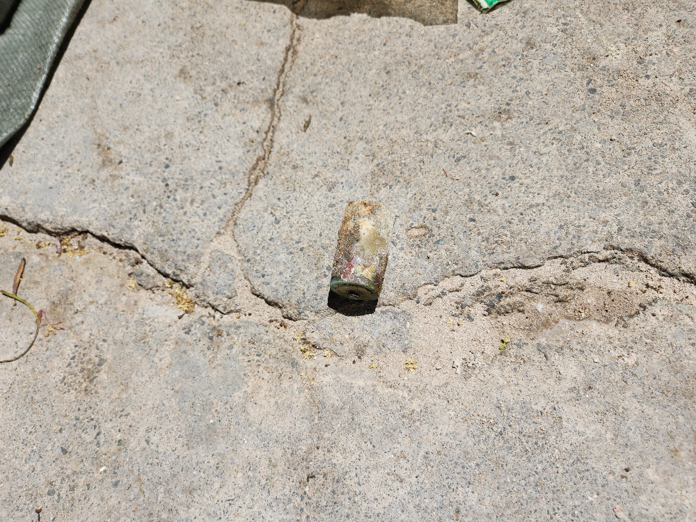
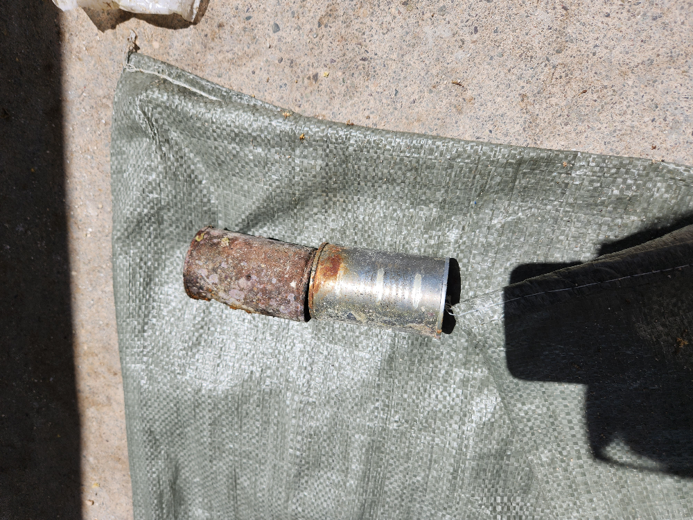
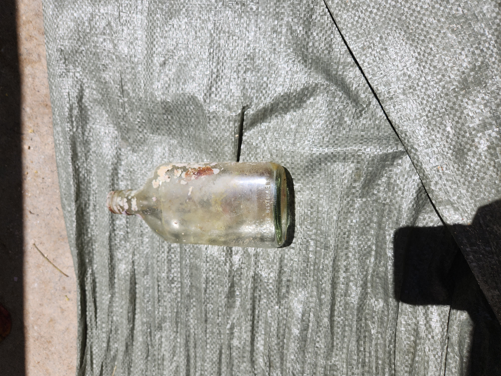
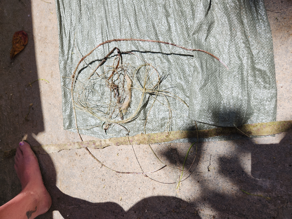
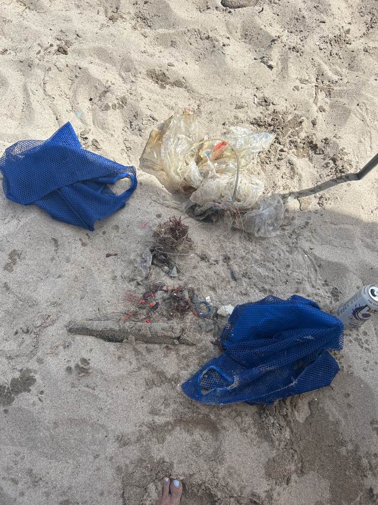
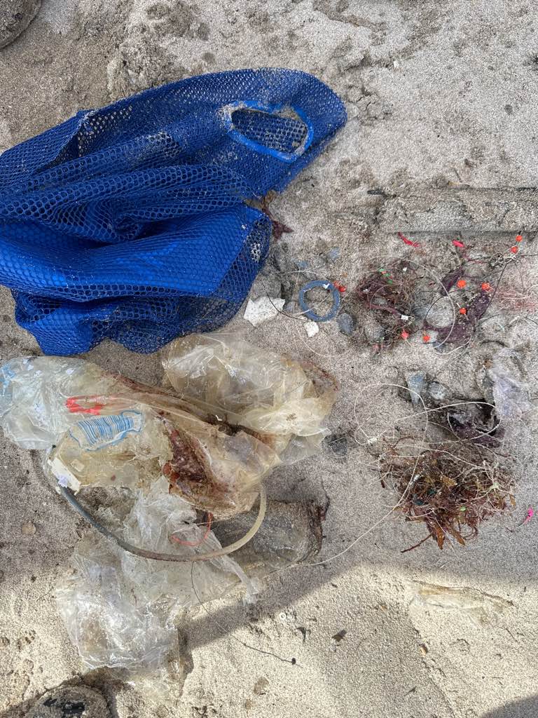
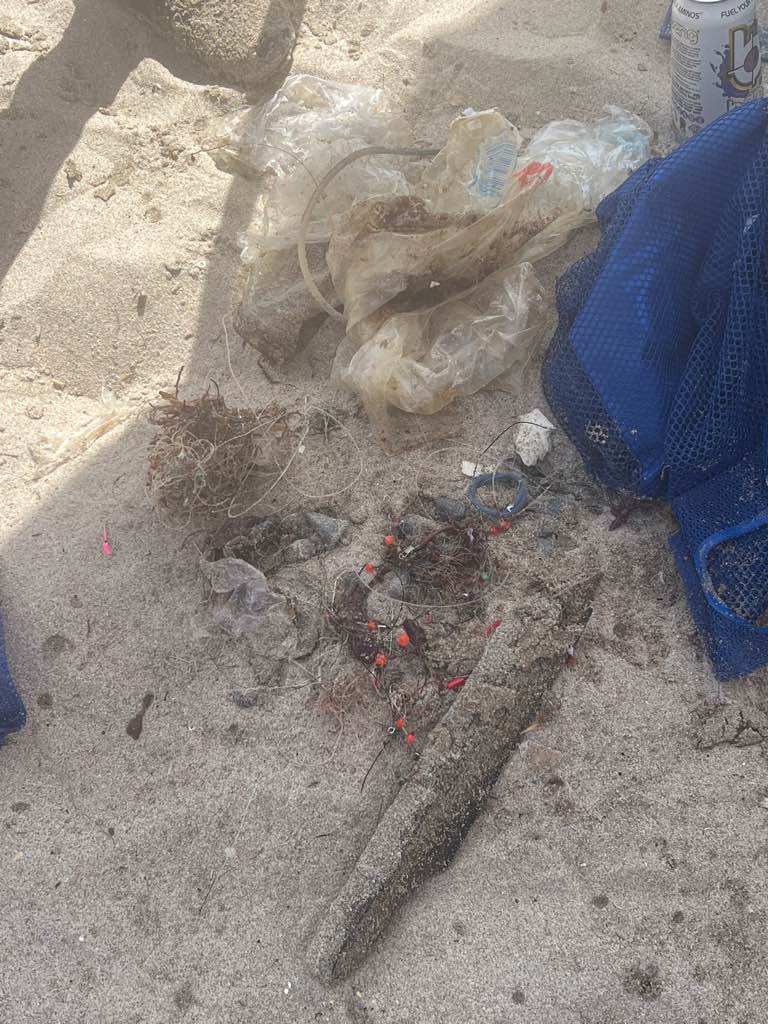
We organised a beach cleaning event
Camel pack
Calm
Cydive
Sophie
0
8
0
36
80
0
0
0
1
0
30
0
5
0
0
0
4
32
0
30
0
0
0
0
12
8
70
0
8
5
0
2
0
0
0
0
35.00
90
1.00
1.00
2
estimated
0
0
14864.00
0
0
0
0
0
Plastic bottles
Glass bottles
Fishing line
0
On
kilograms
0
I have debris data to report
52
6
0
Moderate to rough for waves greater than 1.25 meters
0
0
10
0
8
0
0
m2
0
5
meters
other
1
0
0
0
0
3
30
0
10
0
8
0
0
0
5
0
0
8
0
0
0
0
Plastic
Dead
Green turtle
0
80
0
0
0
0
0
0
Cyprus
City
Paphos
Map Help


Dive Location

If you know your survey site coordinates, enter them manually in decimal degrees using WGS84 Map Datum. Use the minus sign for latitudes south of the equator and longitudes west of the Prime Meridian to 180 degrees.

If you do not know your survey site coordinates, click the “Map Location” tab to use the map to zoom into your survey site and drop the pin on the map to fall within your survey dive site in the water (not on land or the beach). Ensure you zoom in as much as possible to ensure data accuracy.

Entangled Help


Use the vertical tabs below to record any entangled animals you found of each type.

Ecosystem Other
Other

Makadi Bay #434997

0
0
0
0

26.994233615291, 33.900595074645

0
0
0
sand
0
4
0
20
0
Scubaworld clean up day
Plastic
Good
Scubaworld Makadi Bay
Tobias Fraeulin
0
0
0
6
6
0
0
0
0
0
0
0
0
0
0
0
0
0
0
14
0
0
0
0
4
0
2
0
0
0
0
0
0
0
0
0
50.00
60
25.00
3.00
0
estimated
0
0
2627.70
0
3
0
0
0
Rope
Plastic
Zigarettes
0
On
kilograms
0
I have debris data to report
2
0
0
Smooth (wavelets) for waves 0.1 - 0.5 meter high
0
0
0
0
0
0
0
m2
0
0
meters
coral reef
0
0
0
0
0
0
0
0
0
0
0
0
0
0
0
2
0
0
0
0
2
0
0
0
0
0
0
0
0
Egypt
City
Makadi Bay
Map Help


Dive Location

If you know your survey site coordinates, enter them manually in decimal degrees using WGS84 Map Datum. Use the minus sign for latitudes south of the equator and longitudes west of the Prime Meridian to 180 degrees.

If you do not know your survey site coordinates, click the “Map Location” tab to use the map to zoom into your survey site and drop the pin on the map to fall within your survey dive site in the water (not on land or the beach). Ensure you zoom in as much as possible to ensure data accuracy.
Entangled Help


Use the vertical tabs below to record any entangled animals you found of each type.

Chaloklum Bay West

0
28
0
10

9.790153, 100.003079

1
0
0
sand
0
0
0
0
0
None
Plastic pearl handbag
Fair
Sail Rock Divers Resort
Peter Wise
1
5
0
0
1
0
0
0
0
0
0
0
0
0
0
0
0
0
0
8
0
0
0
0
1
0
5
0
43
0
0
0
0
0
0
0
29.25
48
6.00
2.00
0
measured
0
0
0
66
2000.00
0
0
1
0
0
Rubber fan belts
Fishing net
17
On
kilograms
0
I have debris data to report
4
0
0
Calm (glassy to rippled) for waves 0 – 0.1 meter high
0
0
1
Net
Dead
Small Fish
Reef Crab
Released Unharmed
2
2
Net
0
5
0
0
m2
0
0
meters
coral reef
2
0
0
0
0
0
0
0
0
0
0
0
0
0
0
0
0
1
0
0
0
0
10
0
0
0
0
0
0
Thailand
State\Province
Surat Thani
City
Chaloklum
Map Help


Dive Location

If you know your survey site coordinates, enter them manually in decimal degrees using WGS84 Map Datum. Use the minus sign for latitudes south of the equator and longitudes west of the Prime Meridian to 180 degrees.

If you do not know your survey site coordinates, click the “Map Location” tab to use the map to zoom into your survey site and drop the pin on the map to fall within your survey dive site in the water (not on land or the beach). Ensure you zoom in as much as possible to ensure data accuracy.
Entangled Help


Use the vertical tabs below to record any entangled animals you found of each type.

Blueberry hill

12

11.9068, 102.3148

coral
60

11.905261847946, 102.31690955401

Fishermen dropping fishing box and net
Calm water
Bbdivers
Charles SALDUCCI
2
60.00
60
17.00
6.00
estimated
400.00
On
kilograms
I have debris data to report
Smooth (wavelets) for waves 0.1 - 0.5 meter high
Parrot fish, angel fish , grouper
20
Net
m2
meters
coral reef
Thailand
State\Province
Trat
City
Koh chang
Map Help


Dive Location

If you know your survey site coordinates, enter them manually in decimal degrees using WGS84 Map Datum. Use the minus sign for latitudes south of the equator and longitudes west of the Prime Meridian to 180 degrees.

If you do not know your survey site coordinates, click the “Map Location” tab to use the map to zoom into your survey site and drop the pin on the map to fall within your survey dive site in the water (not on land or the beach). Ensure you zoom in as much as possible to ensure data accuracy.
Entangled Help


Use the vertical tabs below to record any entangled animals you found of each type.

大崎ミノカサゴ宮殿(Minokasago-Labyrinth)

24.421203525385, 124.07773660496

rock

24.421203525385, 124.07773660496

MOANAダイビングカレッジ石垣島
YUMA MATSUTANI
3
1.00
40
15.00
4.00
estimated
30.00
On
kilograms
I have debris data to report
Calm (glassy to rippled) for waves 0 – 0.1 meter high m2
meters
coral reef
1
Japan
State\Province
Okinawa
City
Ishigaki
Map Help


Dive Location

If you know your survey site coordinates, enter them manually in decimal degrees using WGS84 Map Datum. Use the minus sign for latitudes south of the equator and longitudes west of the Prime Meridian to 180 degrees.

If you do not know your survey site coordinates, click the “Map Location” tab to use the map to zoom into your survey site and drop the pin on the map to fall within your survey dive site in the water (not on land or the beach). Ensure you zoom in as much as possible to ensure data accuracy.

Entangled Help


Use the vertical tabs below to record any entangled animals you found of each type.

Chaloklum Reef

0
5
0
8

9.78968, 100.007889

0
0
0
sand
0
0
0
12
0
Spark plug
Calm
1
Spark plug
Padi, Sail Rock Divers
Alex
0
1
0
0
0
0
0
0
0
0
0
0
0
0
0
0
0
0
0
11
0
0
0
0
0
0
1
0
0
0
0
0
0
0
0
0
11.20
50
10.00
4.00
11
measured
0
0
0
0
3295.90
0
0
0
3
0
Fishing line
Fishing net
Plastic
1
On
kilograms
0
I have debris data to report
2
0
0
Calm (glassy to rippled) for waves 0 – 0.1 meter high
0
0
0
0
2
0
0
m2
0
0
meters
coral reef
4
0
0
0
0
0
0
0
0
0
0
0
0
0
0
0
0
0
0
0
1
0
0
0
0
0
1
1
0
Thailand
State\Province
Suratthani
City
Koh Phangan
Map Help


Dive Location

If you know your survey site coordinates, enter them manually in decimal degrees using WGS84 Map Datum. Use the minus sign for latitudes south of the equator and longitudes west of the Prime Meridian to 180 degrees.

If you do not know your survey site coordinates, click the “Map Location” tab to use the map to zoom into your survey site and drop the pin on the map to fall within your survey dive site in the water (not on land or the beach). Ensure you zoom in as much as possible to ensure data accuracy.

Entangled Help


Use the vertical tabs below to record any entangled animals you found of each type.

Osezaki

0
0
0
0

35.02757382854, 138.7879946943

0
0
0
sand
0
2
0
0
0
Dive Terry’s
Mitsuko
0
0
0
0
0
0
0
0
0
0
0
0
0
0
0
0
0
0
0
5
0
0
0
0
0
0
0
0
0
0
0
0
0
0
0
0
0.20
35
22.00
6.00
0
estimated
0
0
6203.60
0
0
0
0
0
plastic bag
0
On
kilograms
0
I have debris data to report
0
0
0
Slight for waves 0.5 -1.25 meter high
0
0
0
0
0
0
0
m2
0
0
meters
seagrass
0
0
0
0
0
0
0
0
0
0
0
0
0
0
0
0
0
0
0
0
0
0
0
0
0
0
0
0
0
Japan
State\Province
Shizuoka
City
Numadu
Map Help


Dive Location

If you know your survey site coordinates, enter them manually in decimal degrees using WGS84 Map Datum. Use the minus sign for latitudes south of the equator and longitudes west of the Prime Meridian to 180 degrees.

If you do not know your survey site coordinates, click the “Map Location” tab to use the map to zoom into your survey site and drop the pin on the map to fall within your survey dive site in the water (not on land or the beach). Ensure you zoom in as much as possible to ensure data accuracy.

Entangled Help


Use the vertical tabs below to record any entangled animals you found of each type.

Puntilla back to the beach

7
49

19.76106, -70.52003

sand
1
Humans
Regular
1
1
1
hair circlet
dental floss
sunscreen tube
Divecenter Merlin Sosua
Christian Harder
5
8
2
7
2
1
2.20
65
17.00
2.00
measured
4150.00
4
2
On
kilograms
I have debris data to report
Slight for waves 0.5 -1.25 meter high
9
m2
1
meters
coral reef
5
1
3
5
Dominican Republic
State\Province
Puerto Plata
City
Sosua
Map Help


Dive Location

If you know your survey site coordinates, enter them manually in decimal degrees using WGS84 Map Datum. Use the minus sign for latitudes south of the equator and longitudes west of the Prime Meridian to 180 degrees.

If you do not know your survey site coordinates, click the “Map Location” tab to use the map to zoom into your survey site and drop the pin on the map to fall within your survey dive site in the water (not on land or the beach). Ensure you zoom in as much as possible to ensure data accuracy.

Entangled Help


Use the vertical tabs below to record any entangled animals you found of each type.

Bird Key Park

0
3
0
0

27.335958, -82.5539

0
0
0
silt
0
0
1
0
0
Boating and fishing
Hair clip and vape pens
Low wind and sunshine
2
Ancors
Florida Underwater Sports
0
0
0
1
0
0
0
0
0
0
0
0
0
0
0
0
0
1
0
14
0
0
0
0
0
0
0
0
0
0
0
0
0
0
2
0
22.00
60
18.00
10.00
1
measured
0
0
0
0
131521.00
0
0
0
0
0
Glass
Fishing line
Anchor
0
On
pounds
0
I have debris data to report
0
0
0
Slight for waves 0.5 -1.25 meter high
0
0
0
Fish line
Stone Crab
Released Unharmed
1
0
0
0
0
ft2
5
0
feet
other
3
0
0
0
0
1
0
0
0
0
0
0
0
0
0
0
0
0
0
0
0
0
2
0
0
0
0
0
0
United States
State\Province
Florida
City
Sarasota
Map Help


Dive Location

If you know your survey site coordinates, enter them manually in decimal degrees using WGS84 Map Datum. Use the minus sign for latitudes south of the equator and longitudes west of the Prime Meridian to 180 degrees.

If you do not know your survey site coordinates, click the “Map Location” tab to use the map to zoom into your survey site and drop the pin on the map to fall within your survey dive site in the water (not on land or the beach). Ensure you zoom in as much as possible to ensure data accuracy.

Entangled Help


Use the vertical tabs below to record any entangled animals you found of each type.

Ecosystem Other
sand

Conch Wall

24.568506, -80.273239

coral
2
1
Plastic Hanfle
Florida Keys Dive Center/FKNMS
Lanna
8
0.00
39
75.00
50.00
estimated
2
1999.00
On
pounds
I have debris data to report
Slight for waves 0.5 -1.25 meter high ft2
feet
coral reef
United States
Map Help


Dive Location

If you know your survey site coordinates, enter them manually in decimal degrees using WGS84 Map Datum. Use the minus sign for latitudes south of the equator and longitudes west of the Prime Meridian to 180 degrees.

If you do not know your survey site coordinates, click the “Map Location” tab to use the map to zoom into your survey site and drop the pin on the map to fall within your survey dive site in the water (not on land or the beach). Ensure you zoom in as much as possible to ensure data accuracy.

Entangled Help


Use the vertical tabs below to record any entangled animals you found of each type.

Subscribe to