Menu

Wassersportzentrum Tiefenbrunnen ZH

1
0
0
0

47.345964211294, 8.5632546942402

0
0
0
sand
0
1
0
0
0
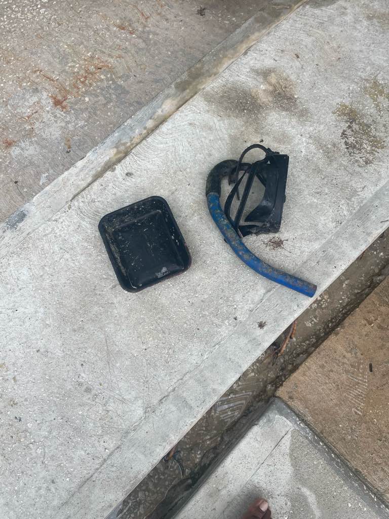
Lot of people fishing at Diving side. Many people picknicking by the Diving side. Lots of smokers around.
Good weather, Lots of people hanging out at the Lakeside
Nothing unsual
Sunny
No
Felix Brinkmann
0
0
0
0
2
0
1
0
0
0
0
0
0
0
0
0
0
1
0
4
0
0
0
0
0
0
0
0
0
0
0
0
0
0
0
0
0.15
25
10.20
2.50
0
estimated
0
0
700.00
0
0
0
0
0
Cigarette buns
Snus
Plastic Sack
0
On
kilograms
0
I have debris data to report
0
0
0
Calm (glassy to rippled) for waves 0 – 0.1 meter high
0
0
0
0
0
0
0
m2
0
0
meters
other
0
0
0
0
0
0
0
0
0
0
0
0
0
0
0
0
0
0
0
0
0
0
0
0
0
0
0
0
0
Switzerland
State\Province
ZH
City
Zürich
Map Help


Dive Location

If you know your survey site coordinates, enter them manually in decimal degrees using WGS84 Map Datum. Use the minus sign for latitudes south of the equator and longitudes west of the Prime Meridian to 180 degrees.

If you do not know your survey site coordinates, click the “Map Location” tab to use the map to zoom into your survey site and drop the pin on the map to fall within your survey dive site in the water (not on land or the beach). Ensure you zoom in as much as possible to ensure data accuracy.

Entangled Help


Use the vertical tabs below to record any entangled animals you found of each type.

Ecosystem Other
Lake

Loose Lobster

24.9238167, -80.4991

coral
Wooden pallet, 3 wire lobster trap pieces, intact wire lobster trap with concrete base, lobster trap throat, 50 wood trap pieces, anchor with chain, chain, glass bottle, and approximately 150ft of rope
1
1
anchor with chain
anchor chain
Key Dives
Morgan Gardner
14
4
197.00
50
60.00
40.00
measured
1
1000.00
On
pounds
1
I have debris data to report
1
Slight for waves 0.5 -1.25 meter high
50
ft2
150
feet
coral reef
2
United States
State\Province
Florida
City
Islamorada
Map Help


Dive Location

If you know your survey site coordinates, enter them manually in decimal degrees using WGS84 Map Datum. Use the minus sign for latitudes south of the equator and longitudes west of the Prime Meridian to 180 degrees.

If you do not know your survey site coordinates, click the “Map Location” tab to use the map to zoom into your survey site and drop the pin on the map to fall within your survey dive site in the water (not on land or the beach). Ensure you zoom in as much as possible to ensure data accuracy.

Entangled Help


Use the vertical tabs below to record any entangled animals you found of each type.

C&C

24.91895, -80.49475

1
coral
200
2 anchors with chain, large lure with 2 hooks, large sinker, 2 metal leaders, and approximately 200ft of monofilament fishing line and 300ft of rope
2
anchor with chain
Key Dives
Morgan Gardner
14
125.00
39
80.00
55.00
measured
5
1000.00
On
pounds
I have debris data to report
Slight for waves 0.5 -1.25 meter high ft2
300
feet
coral reef
United States
State\Province
Florida
City
Islamorada
Map Help


Dive Location

If you know your survey site coordinates, enter them manually in decimal degrees using WGS84 Map Datum. Use the minus sign for latitudes south of the equator and longitudes west of the Prime Meridian to 180 degrees.

If you do not know your survey site coordinates, click the “Map Location” tab to use the map to zoom into your survey site and drop the pin on the map to fall within your survey dive site in the water (not on land or the beach). Ensure you zoom in as much as possible to ensure data accuracy.

Entangled Help


Use the vertical tabs below to record any entangled animals you found of each type.

Lighthouse / Bannerfish Bay

4
96
0
0

28.498747, 34.51991

0
0
0
sand
0
0
0
10
0
No
Windy and dry. One heavy rain shower.
1
12
2
False nail
Chewing gum
E cigarette parts
Red Sea Tribe
Rachel Shelley
0
0
0
19
202
0
0
0
0
0
1
0
0
1
0
0
0
0
220
7
0
0
0
0
0
0
2
0
0
0
0
0
0
0
0
0
3.00
40
25.00
1.00
0
estimated
0
0
0
3
1237.65
0
0
0
0
0
Cigarette butts
Plastic pieces
Clothing pieces
0
On
kilograms
0
I have debris data to report
0
0
0
Smooth (wavelets) for waves 0.1 - 0.5 meter high
8
0
0
0
0
0
0
m2
0
0
meters
coral reef
0
0
0
0
0
8
0
5
0
81
0
0
0
41
0
0
0
0
0
0
0
0
19
0
0
0
0
0
0
Egypt
State\Province
South Sinai
City
Dahab
Map Help


Dive Location

If you know your survey site coordinates, enter them manually in decimal degrees using WGS84 Map Datum. Use the minus sign for latitudes south of the equator and longitudes west of the Prime Meridian to 180 degrees.

If you do not know your survey site coordinates, click the “Map Location” tab to use the map to zoom into your survey site and drop the pin on the map to fall within your survey dive site in the water (not on land or the beach). Ensure you zoom in as much as possible to ensure data accuracy.

Entangled Help


Use the vertical tabs below to record any entangled animals you found of each type.

370761 Point Panic

9
4
4
7
1
rock
3
2
17

21.290484465952, -157.86064970642

Jack Fishmans Eyebrow Trimmer
Sunny, Light Winds
1
1
1
1
1
5
1
1
Jack Fishmans Eyebrow Trimmer
Jack Fishmans Caterpiller Stuffy
Surf Leash
Key Fob
Speaker
Sponges
Watch
Road Lane Marker Reflecter
Nudi Wear
Christy Johnson
6
1
1
6
17
1
1
2
134
2
1
3
136.00
50
25.00
4.00
2
measured
52
500.00
1
On
pounds
I have debris data to report
41
Calm (glassy to rippled) for waves 0 – 0.1 meter high
2
3
2
3
1
ft2
1
feet
rocky reef
2
3
2
2
4
2
135
1
14
3
United States
State\Province
HI
City
Honolulu
Map Help


Dive Location

If you know your survey site coordinates, enter them manually in decimal degrees using WGS84 Map Datum. Use the minus sign for latitudes south of the equator and longitudes west of the Prime Meridian to 180 degrees.

If you do not know your survey site coordinates, click the “Map Location” tab to use the map to zoom into your survey site and drop the pin on the map to fall within your survey dive site in the water (not on land or the beach). Ensure you zoom in as much as possible to ensure data accuracy.

Entangled Help


Use the vertical tabs below to record any entangled animals you found of each type.

Jolly Roger barges

0
0
1
0

13.187081544571, -59.640468504864

0
0
0
coral
0
0
0
0
0
Nope
Great
1
Mask and snorkel
Hightide watersports
Sim
0
0
0
0
0
0
0
0
0
0
0
0
0
0
0
0
0
0
0
2
0
0
0
0
0
0
0
0
0
0
0
0
0
0
0
0
1.00
43
7.00
5.00
0
estimated
0
0
6137.38
0
0
0
0
0
0
On
pounds
0
I have debris data to report
0
0
0
Smooth (wavelets) for waves 0.1 - 0.5 meter high
0
0
0
0
0
0
0
m2
0
0
meters
coral reef
0
0
0
0
0
0
0
0
0
0
0
0
0
0
0
0
0
0
0
0
0
0
0
0
0
0
0
0
0
Barbados
City
Bridgetown
Map Help


Dive Location

If you know your survey site coordinates, enter them manually in decimal degrees using WGS84 Map Datum. Use the minus sign for latitudes south of the equator and longitudes west of the Prime Meridian to 180 degrees.

If you do not know your survey site coordinates, click the “Map Location” tab to use the map to zoom into your survey site and drop the pin on the map to fall within your survey dive site in the water (not on land or the beach). Ensure you zoom in as much as possible to ensure data accuracy.

Entangled Help


Use the vertical tabs below to record any entangled animals you found of each type.

Naifaru House Reef

37
258
0
2

5.4395340998382, 73.36295022328

0
0
0
sand
0
18
0
1
0
Filter of fridge
Calm
39
Cement bags
Aqua Dive
Elizabeth MacLeod
2
2
3
0
0
0
0
0
0
0
0
0
2
0
7
0
0
0
2
3
0
0
1
0
12
0
9
0
0
12
0
0
0
0
0
0
36.80
75
7.00
3.00
1
measured
0
0
274.32
0
0
2
0
0
Clothing
Cement Bags
Cans
0
On
kilograms
0
I have debris data to report
1
0
0
Calm (glassy to rippled) for waves 0 – 0.1 meter high
0
3
0
7
29
2
0
m2
0
14
meters
coral reef
0
0
0
0
2
0
0
0
0
11
0
0
0
0
0
0
15
3
0
0
0
0
0
0
0
0
0
0
0
Maldives
City
Naifaru
Map Help


Dive Location

If you know your survey site coordinates, enter them manually in decimal degrees using WGS84 Map Datum. Use the minus sign for latitudes south of the equator and longitudes west of the Prime Meridian to 180 degrees.

If you do not know your survey site coordinates, click the “Map Location” tab to use the map to zoom into your survey site and drop the pin on the map to fall within your survey dive site in the water (not on land or the beach). Ensure you zoom in as much as possible to ensure data accuracy.

Entangled Help


Use the vertical tabs below to record any entangled animals you found of each type.

La Casa Adopt a dive site #10

117
32

-8.5547789877064, 125.50946892695

sand
1
70% of the trash collected was recycled with our new recycling centre
Dive Timor Lorosae
Marianne Woodward
1
2
2
3
4
1
2
1
4.00
60
24.00
3.00
estimated
50.00
1
2
On
kilograms
I have debris data to report
Slight for waves 0.5 -1.25 meter high
7
m2
meters
seagrass
1
5
Timor-Leste
State\Province
Dili
City
Dili
Map Help


Dive Location

If you know your survey site coordinates, enter them manually in decimal degrees using WGS84 Map Datum. Use the minus sign for latitudes south of the equator and longitudes west of the Prime Meridian to 180 degrees.

If you do not know your survey site coordinates, click the “Map Location” tab to use the map to zoom into your survey site and drop the pin on the map to fall within your survey dive site in the water (not on land or the beach). Ensure you zoom in as much as possible to ensure data accuracy.

Entangled Help


Use the vertical tabs below to record any entangled animals you found of each type.

Empacadora

0
6
0
0

22.880916988136, -109.90473886719

0
0
0
silt
0
0
0
0
0
Yes
Latas de cerveza
Tranquila s
Dive Ninja expedición
Nadine
0
0
0
0
0
0
0
0
0
0
0
0
0
3
0
0
0
0
4
3
0
0
0
0
0
0
0
0
0
0
0
0
0
0
0
0
5.00
45
15.00
8.00
0
estimated
0
0
562.27
0
0
0
0
0
Barcos de fiesta
Spring break
Borrachos
0
On
kilograms
0
I have debris data to report
0
0
0
Calm (glassy to rippled) for waves 0 – 0.1 meter high
0
0
0
0
0
0
0
m2
2
0
meters
rocky reef
0
0
0
0
0
0
0
0
0
0
0
0
0
0
0
0
0
20
0
0
0
0
0
0
0
0
0
0
0
Mexico
State\Province
Cabo San Lucas
City
Cabo San Lucas
Map Help


Dive Location

If you know your survey site coordinates, enter them manually in decimal degrees using WGS84 Map Datum. Use the minus sign for latitudes south of the equator and longitudes west of the Prime Meridian to 180 degrees.

If you do not know your survey site coordinates, click the “Map Location” tab to use the map to zoom into your survey site and drop the pin on the map to fall within your survey dive site in the water (not on land or the beach). Ensure you zoom in as much as possible to ensure data accuracy.

Entangled Help


Use the vertical tabs below to record any entangled animals you found of each type.

Playa empacadora

0
5
0
0

22.88748535795, -109.91264124668

0
0
0
sand
0
0
0
0
0
Nail trimmer
Good
Dive Ninja expedition
Nayeli
0
0
0
3
7
0
0
0
0
0
0
0
0
0
0
0
0
0
4
3
0
0
0
0
0
1
2
0
0
0
0
0
0
0
0
0
5.00
45
60.00
23.00
0
estimated
0
0
1130.05
0
0
0
0
0
Cans
Powerade
0
On
kilograms
0
I have debris data to report
0
0
0
Calm (glassy to rippled) for waves 0 – 0.1 meter high
0
0
0
0
8
0
0
m2
0
0
1
Cans
Caracol
Released Unharmed
feet
other
0
0
0
0
0
0
0
0
0
0
0
0
0
0
0
0
0
20
0
0
0
0
0
0
1
0
0
0
0
Mexico
State\Province
Baja california
City
Cabo San Lucas
Map Help


Dive Location

If you know your survey site coordinates, enter them manually in decimal degrees using WGS84 Map Datum. Use the minus sign for latitudes south of the equator and longitudes west of the Prime Meridian to 180 degrees.

If you do not know your survey site coordinates, click the “Map Location” tab to use the map to zoom into your survey site and drop the pin on the map to fall within your survey dive site in the water (not on land or the beach). Ensure you zoom in as much as possible to ensure data accuracy.

Entangled Help


Use the vertical tabs below to record any entangled animals you found of each type.

Ecosystem Other
Sandy
Subscribe to