Yellowstone Reef
1
1
sand
2
1
30.585164, 36.238414
Aqaba needs help in banning single use plastics--especially the single use cups of water with foil tops made by Red Sea manufacturing and single use bags! Teach us how to advocate for this change.
people leaving their trash on the beach and the wind blows it into the ocean
windy
1
1
sunglasses
Scuba Mask package
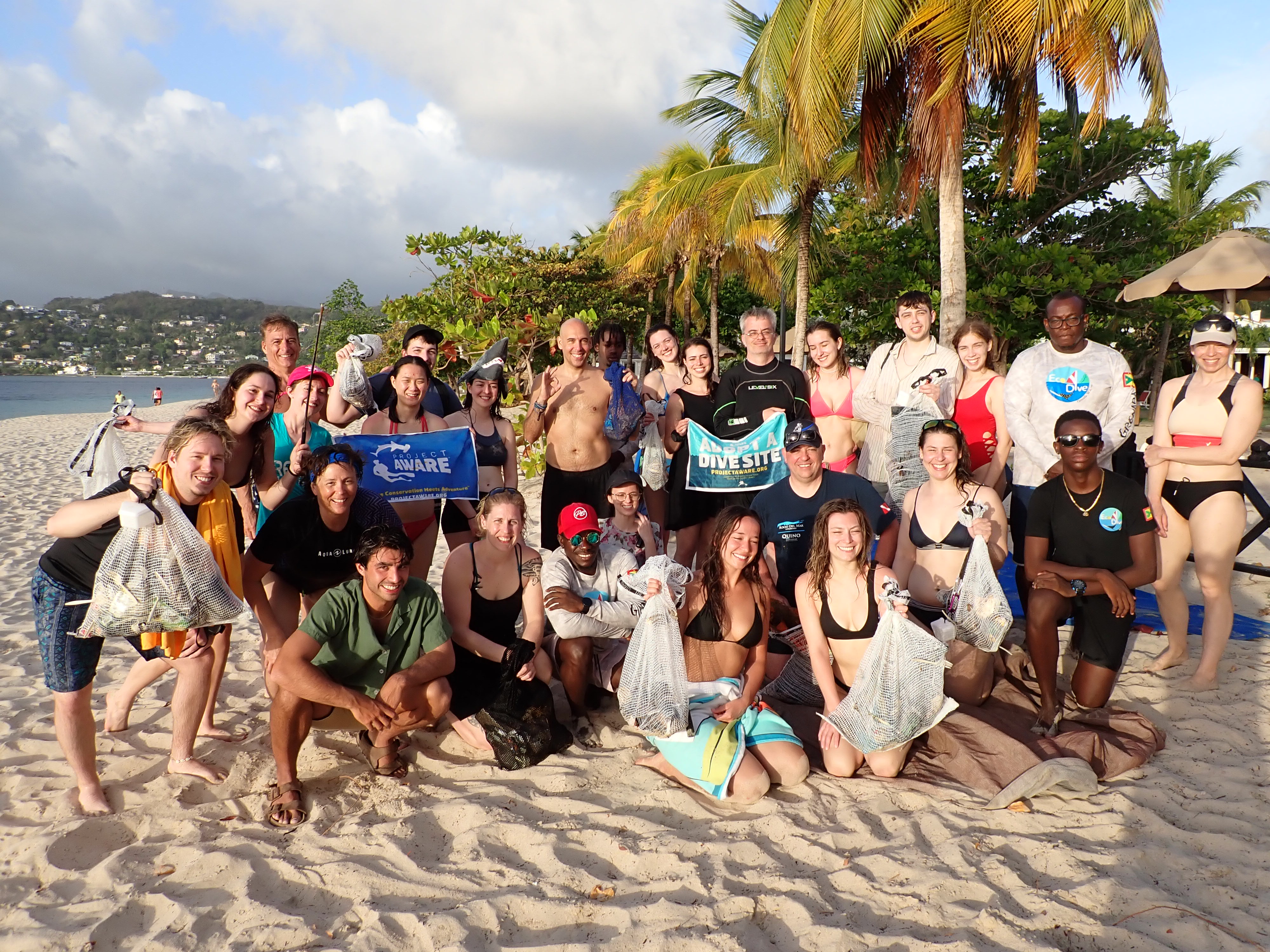
Deep Blue Dive Center
Catherine Hoelzer
0
2
172
1.00
45
20.00
5.00
estimated
1000.00
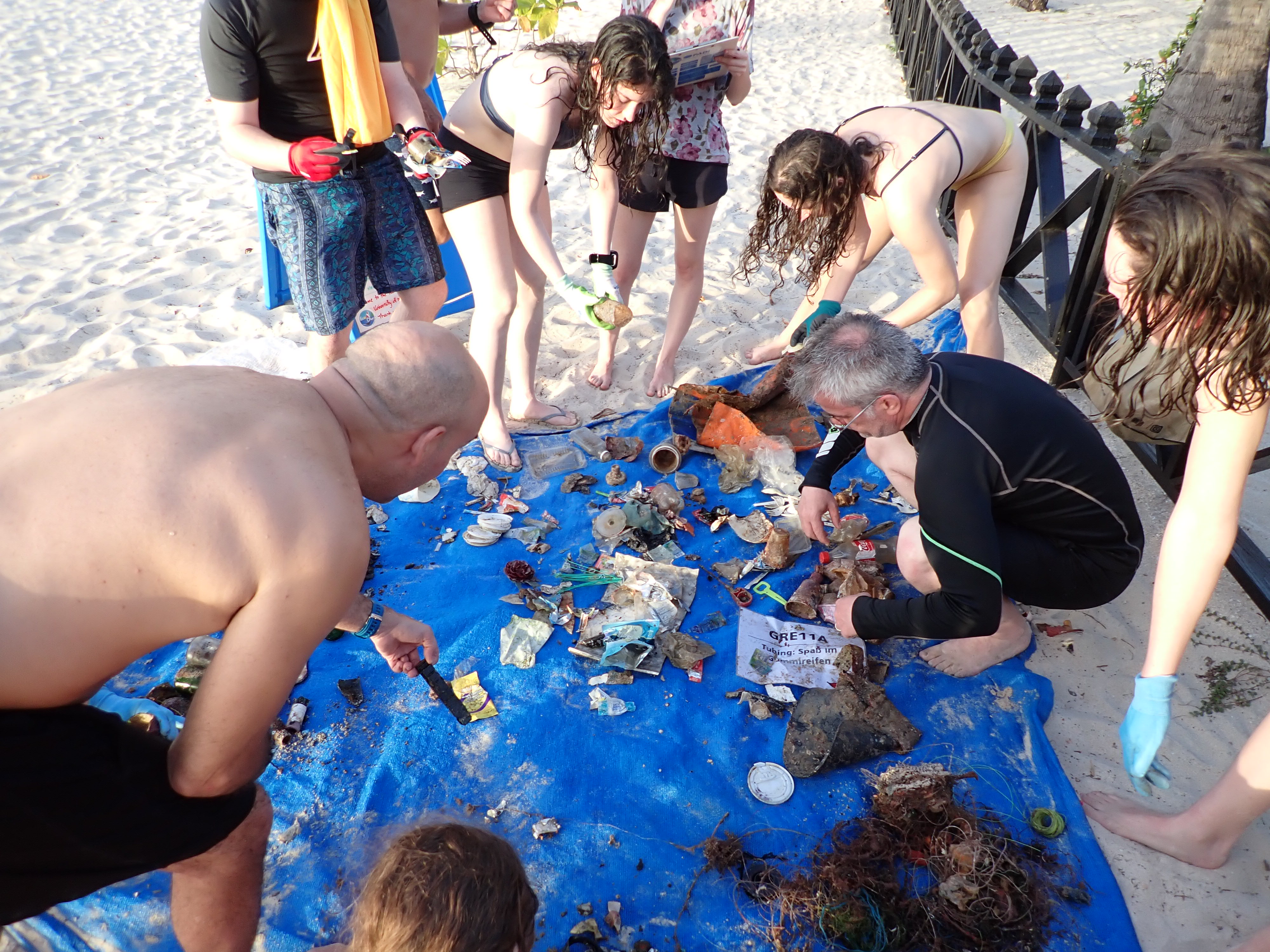
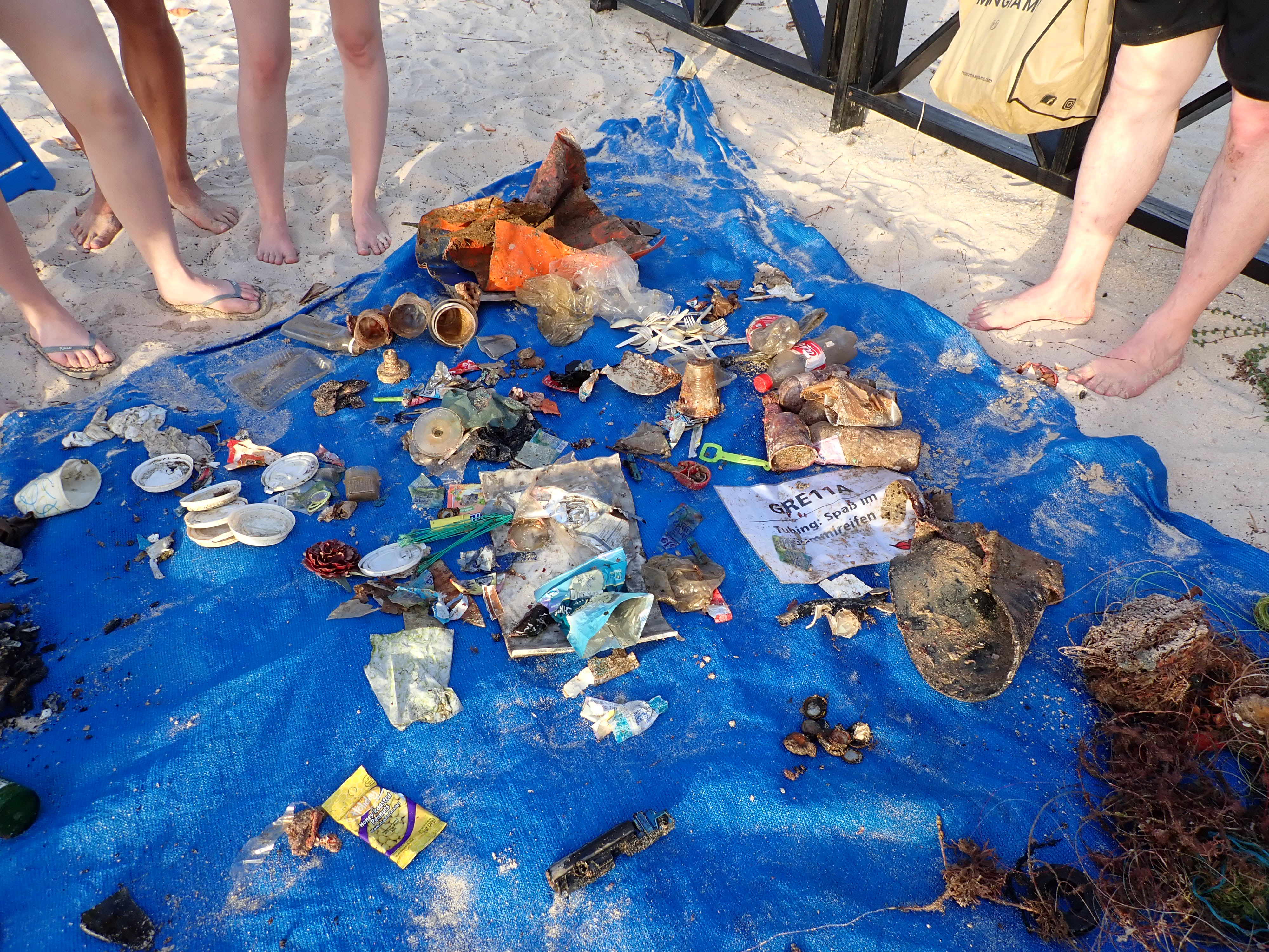
single use plastic drinking cups of water
cigarette butts
plastic bags
On
kilograms
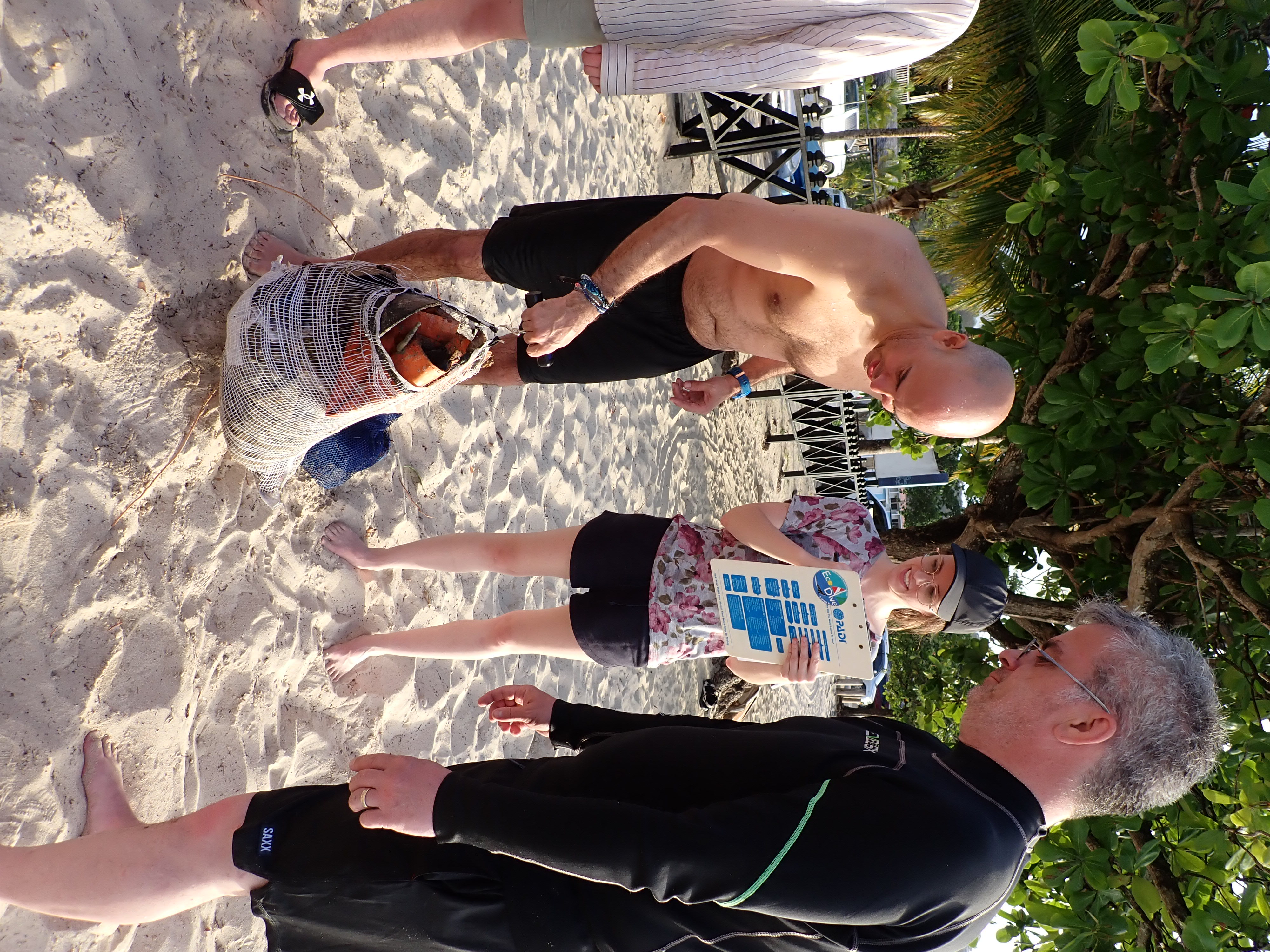
I have debris data to report
Smooth (wavelets) for waves 0.1 - 0.5 meter high
m2

meters
seagrass
2
State\Province
Aqaba
City
Aqaba
Map Help
Dive Location
If you know your survey site coordinates, enter them manually in decimal degrees using WGS84 Map Datum. Use the minus sign for latitudes south of the equator and longitudes west of the Prime Meridian to 180 degrees.
If you do not know your survey site coordinates, click the “Map Location” tab to use the map to zoom into your survey site and drop the pin on the map to fall within your survey dive site in the water (not on land or the beach). Ensure you zoom in as much as possible to ensure data accuracy.
Entangled Help