Playa las Vistas
60
33
2
sand
46
28.049460307074, -16.722040599596
WINDY WEEK
EYE BROW BRUSH
4
1
7
75
9
EARPLUGS
EYE BROW BRUSH
GUM
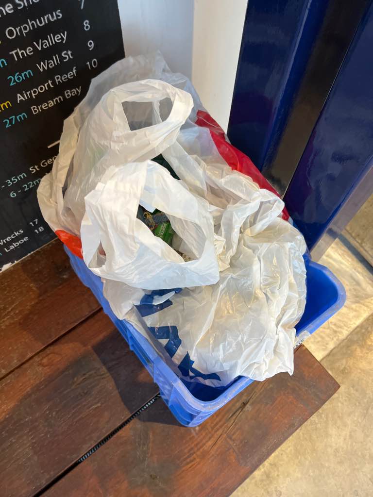
BAND AIDS
TISSUE
SEE YOU DIVING
SEE YOU DIVING
1
48
3
1
3
16
5
13
0.96
55
9.00
6.00
33
measured
15861.00
TAMPONS
SIGARETS FILTER
BAND AIDS
On
kilograms
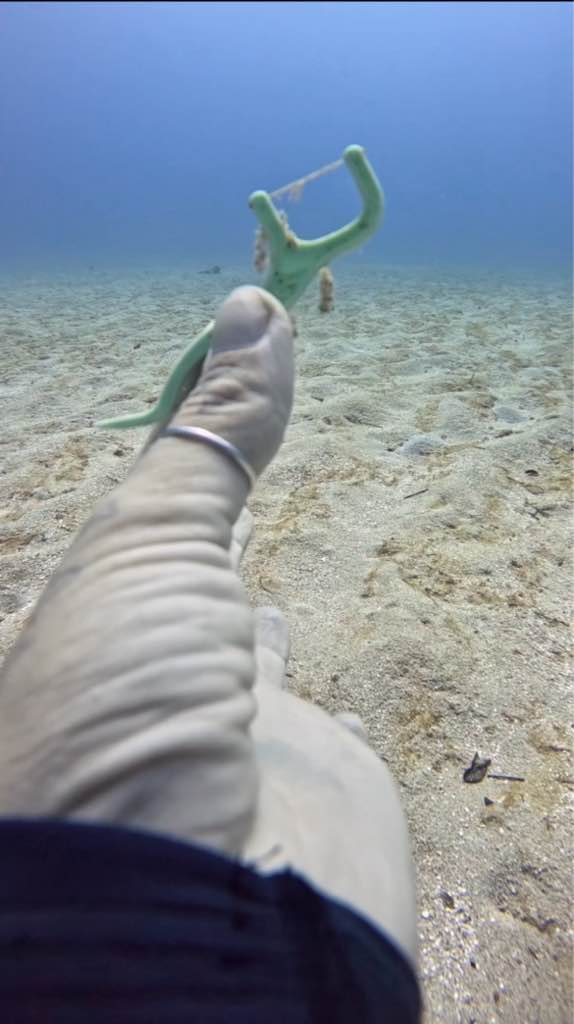
I have debris data to report
Smooth (wavelets) for waves 0.1 - 0.5 meter high
1
11
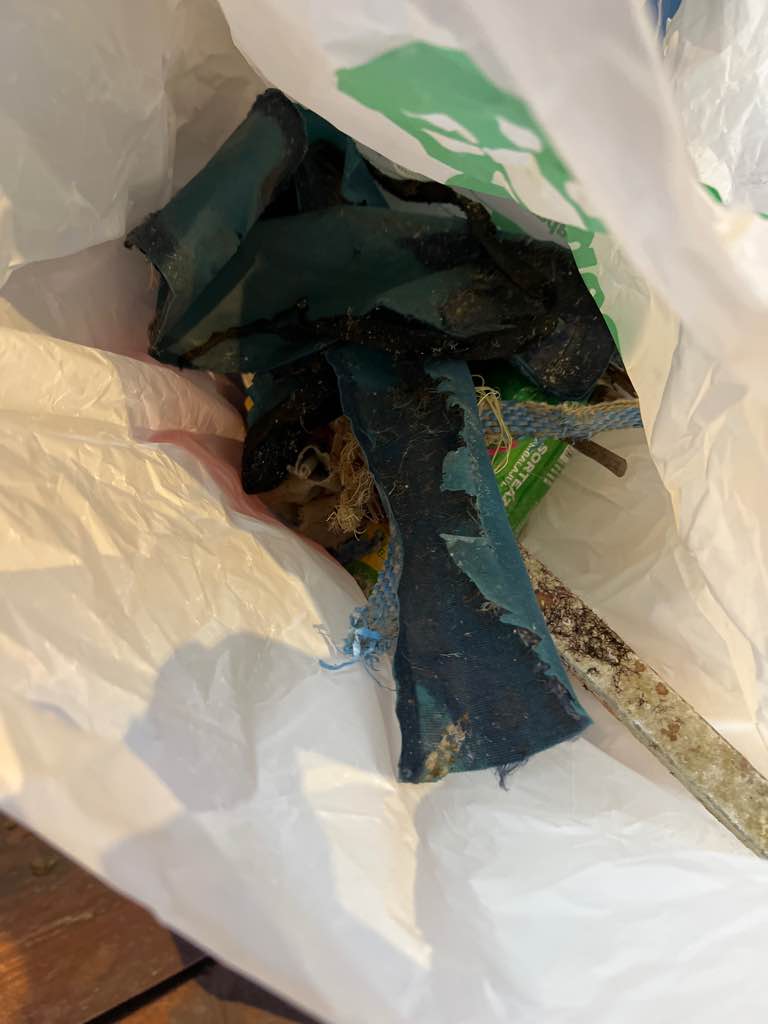
ROPES
COMMON CRUSTACEANS
3
6
m2
meters
rocky reef
4
2
2
State\Province
Islas Canarias
City
LOS CRISTIANOS
Map Help
Dive Location
If you know your survey site coordinates, enter them manually in decimal degrees using WGS84 Map Datum. Use the minus sign for latitudes south of the equator and longitudes west of the Prime Meridian to 180 degrees.
If you do not know your survey site coordinates, click the “Map Location” tab to use the map to zoom into your survey site and drop the pin on the map to fall within your survey dive site in the water (not on land or the beach). Ensure you zoom in as much as possible to ensure data accuracy.
Entangled Help