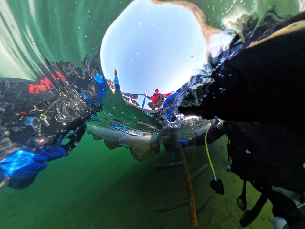
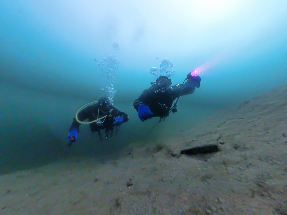
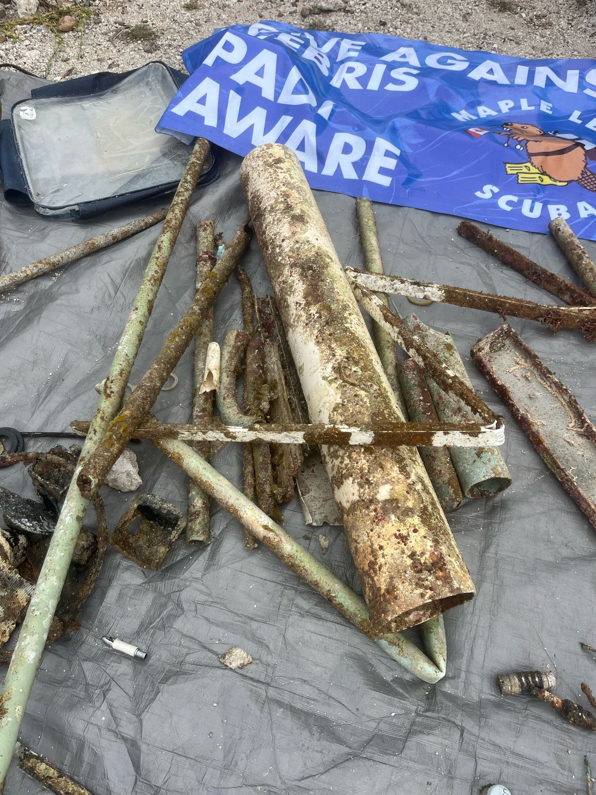
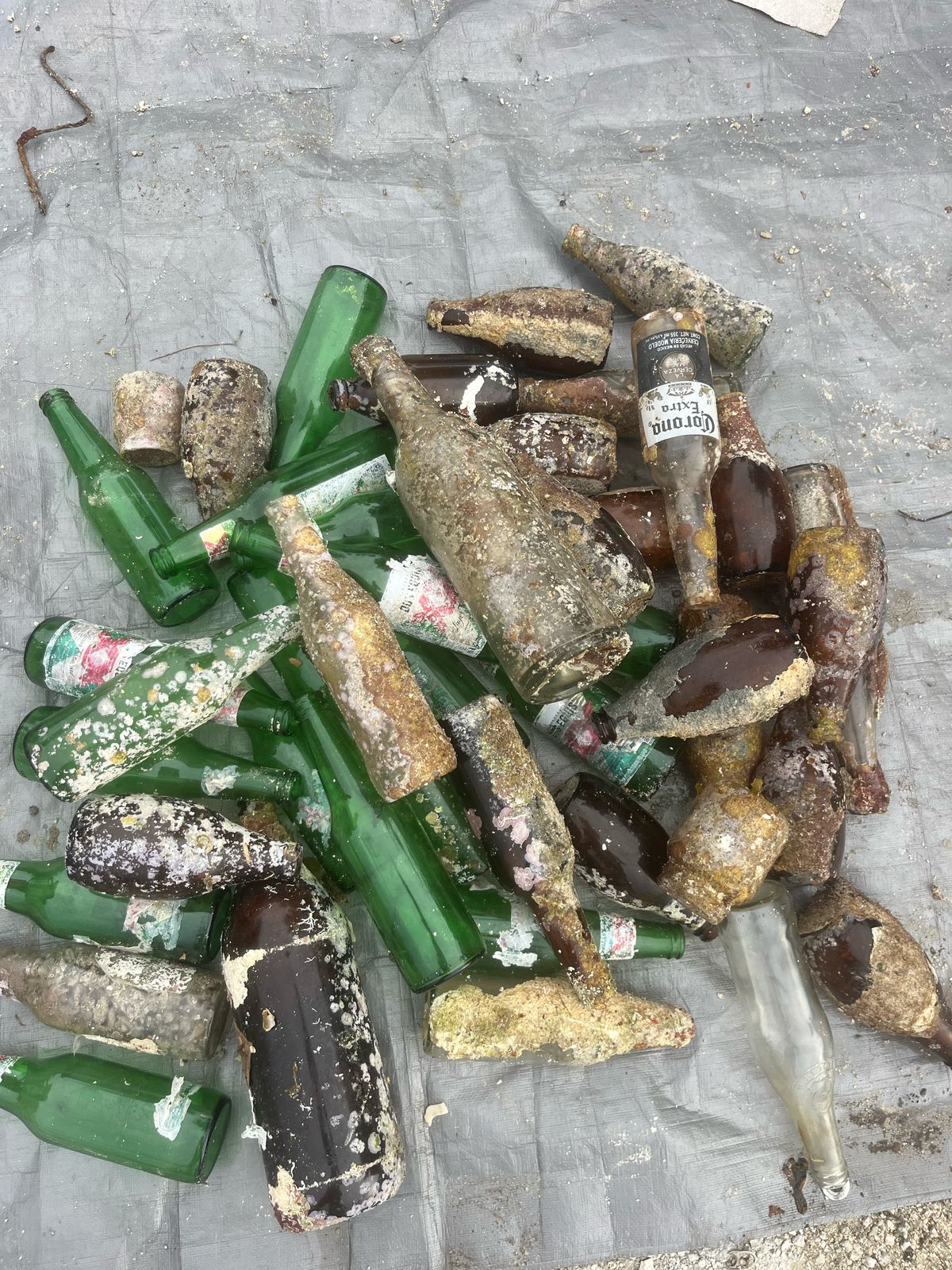
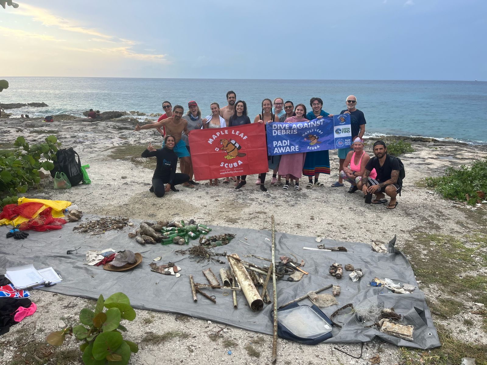
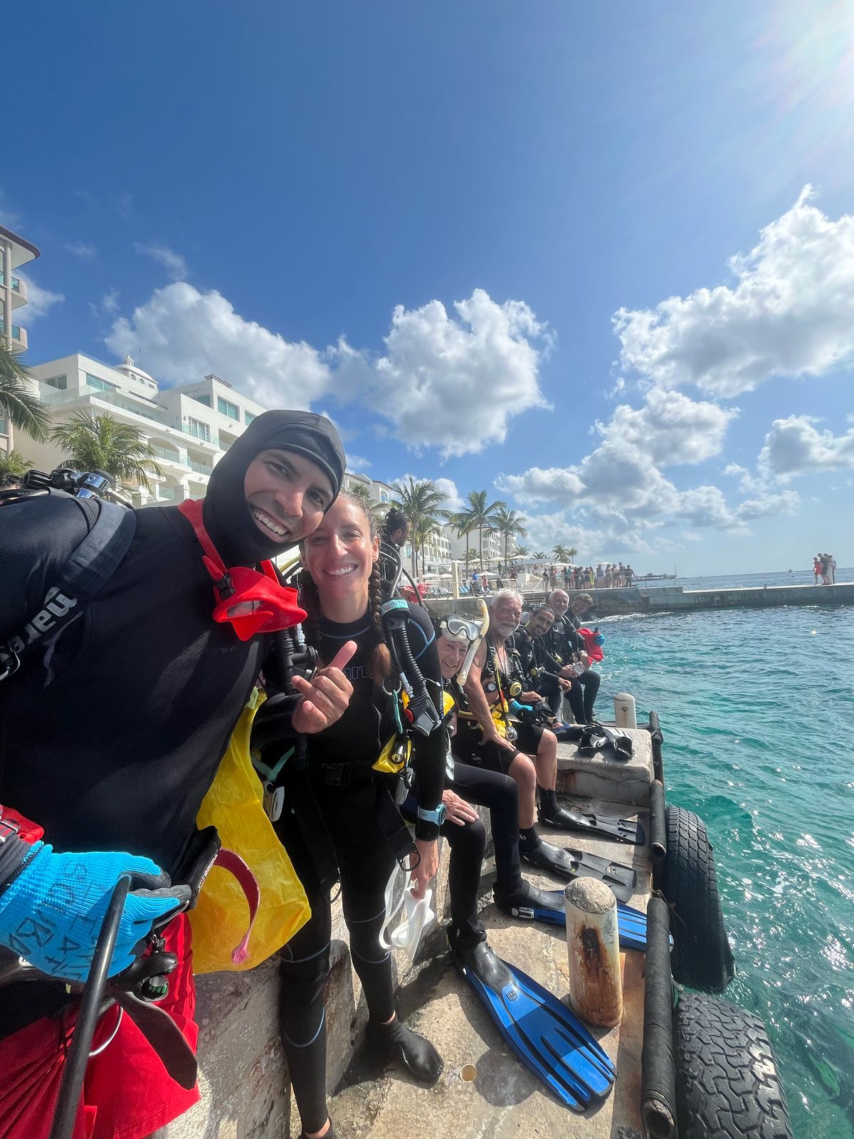
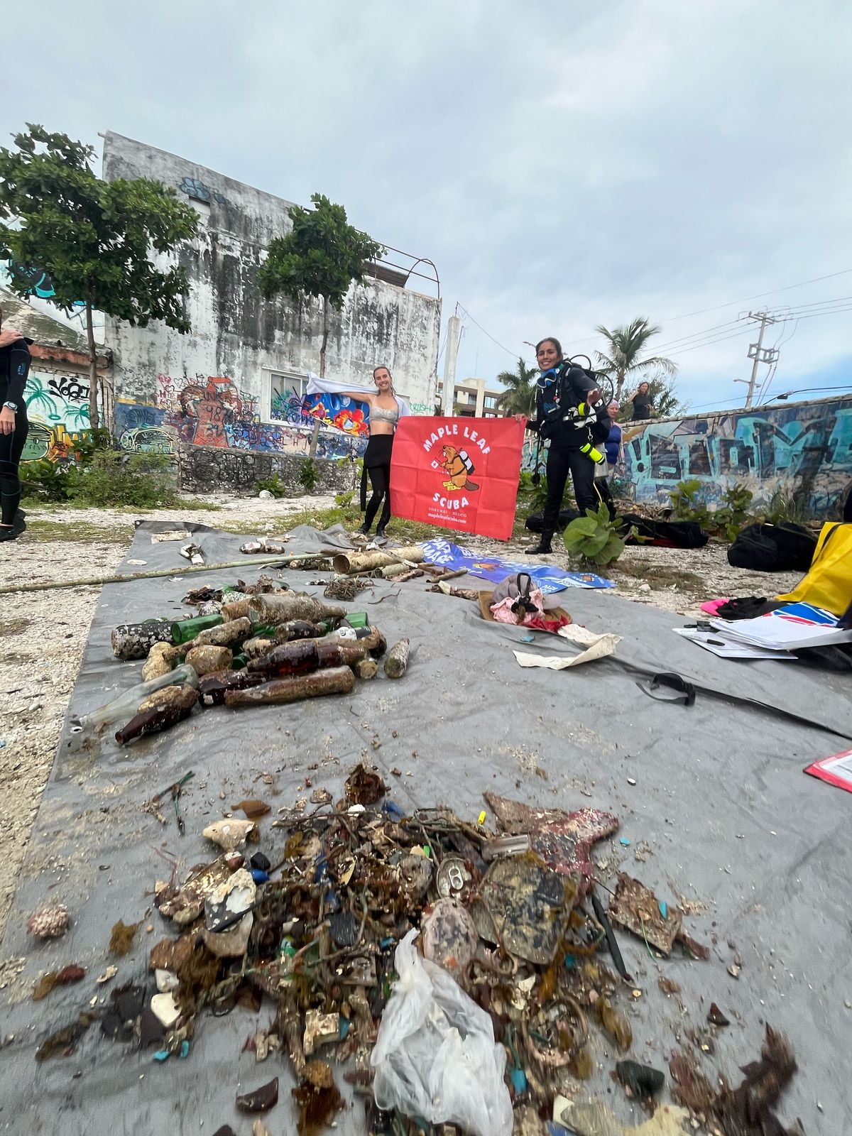
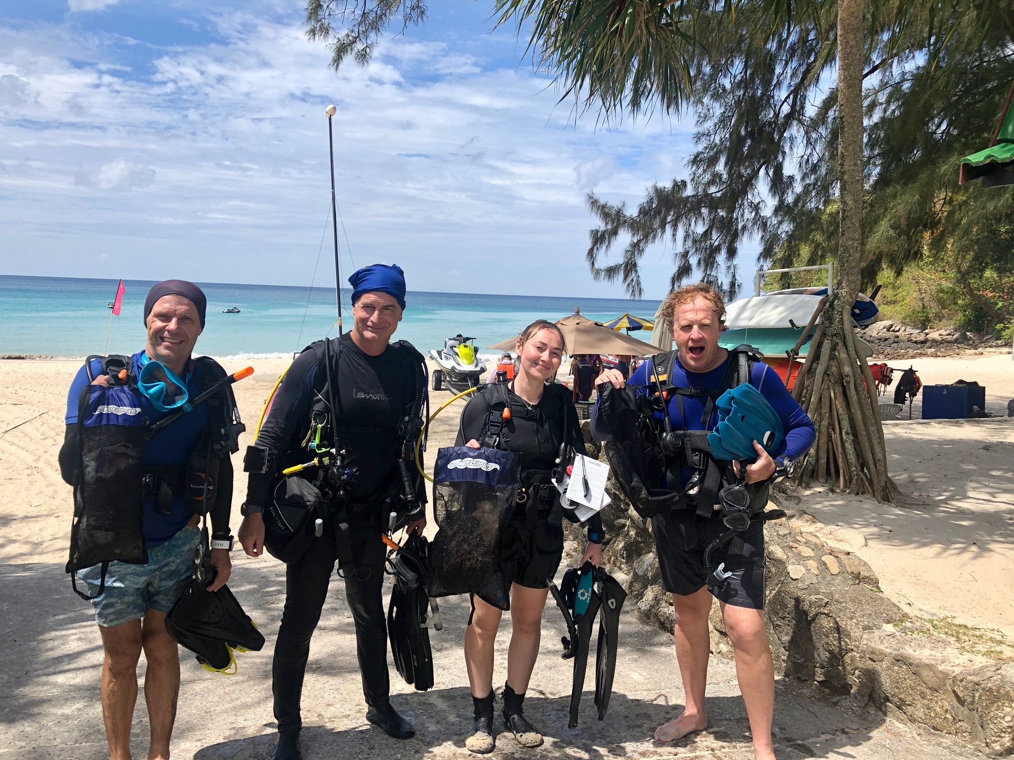
Dive Against Debris Meridian Beach Phuket
4
7.8648992789905, 98.280641889524
1
7.8648992789905, 98.280641889524
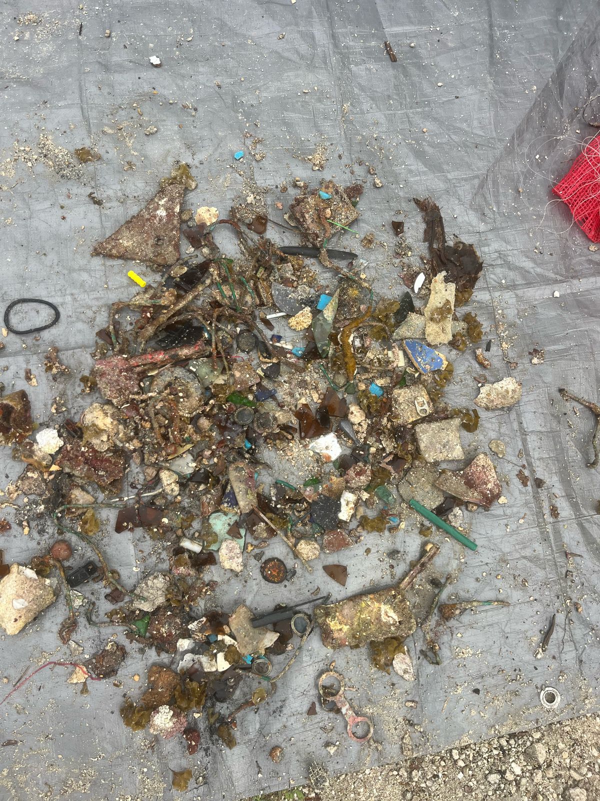
Normal Fishing in the area and Tourist off boats discarding drinking cans.
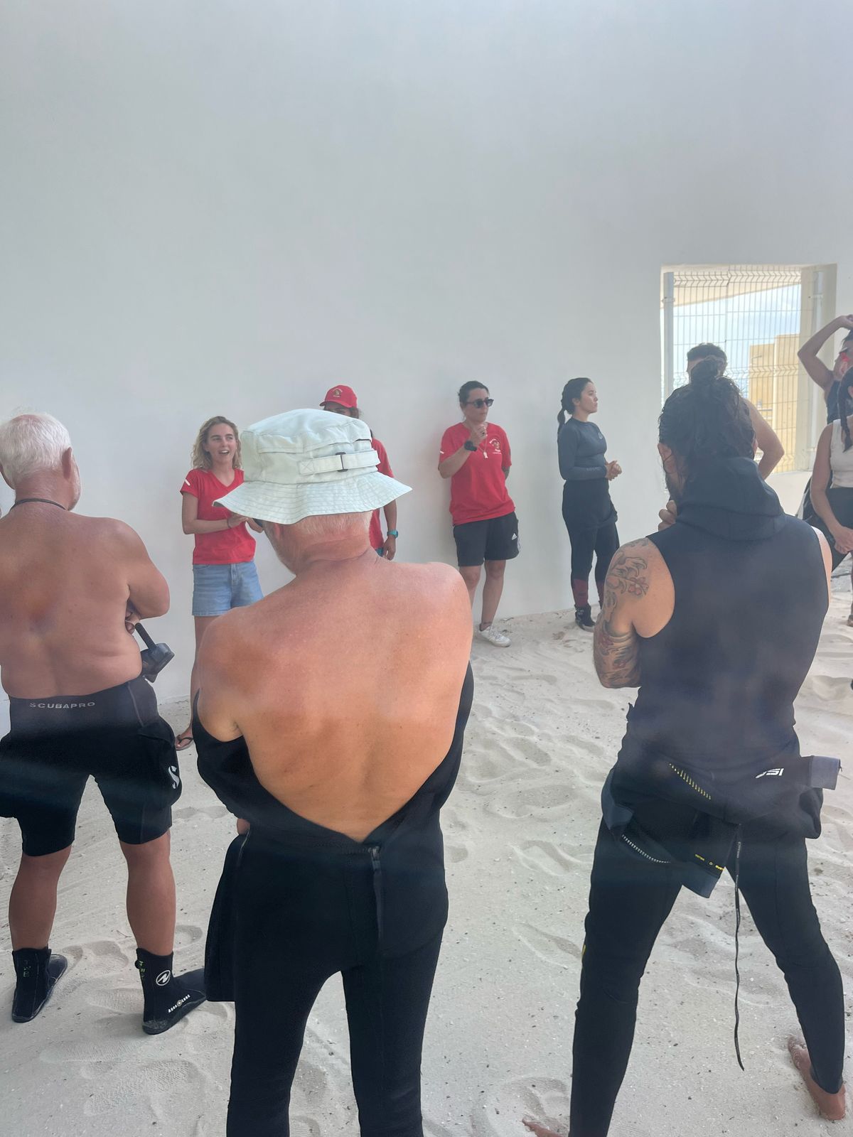
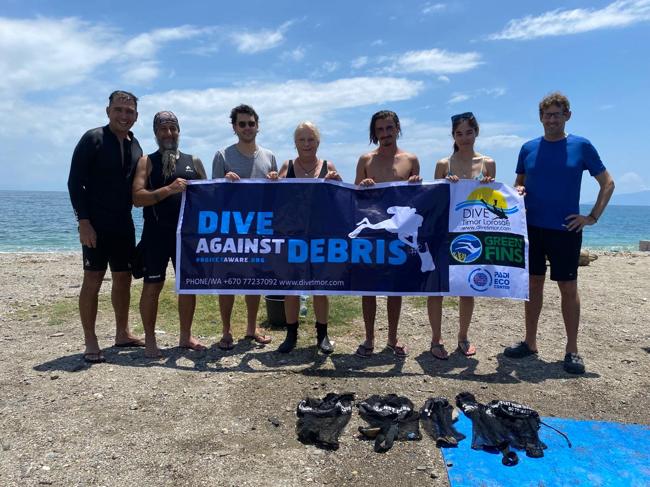
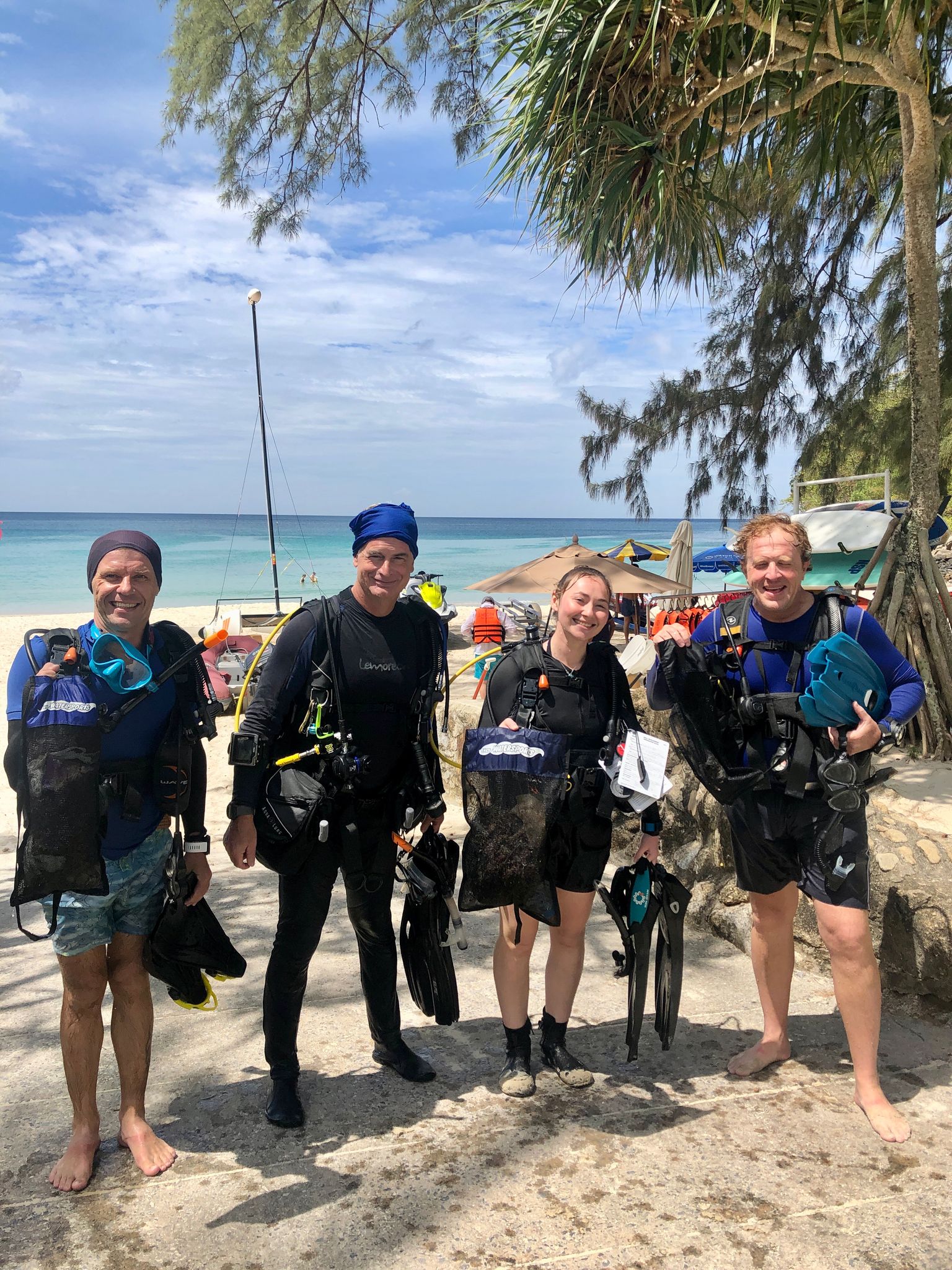
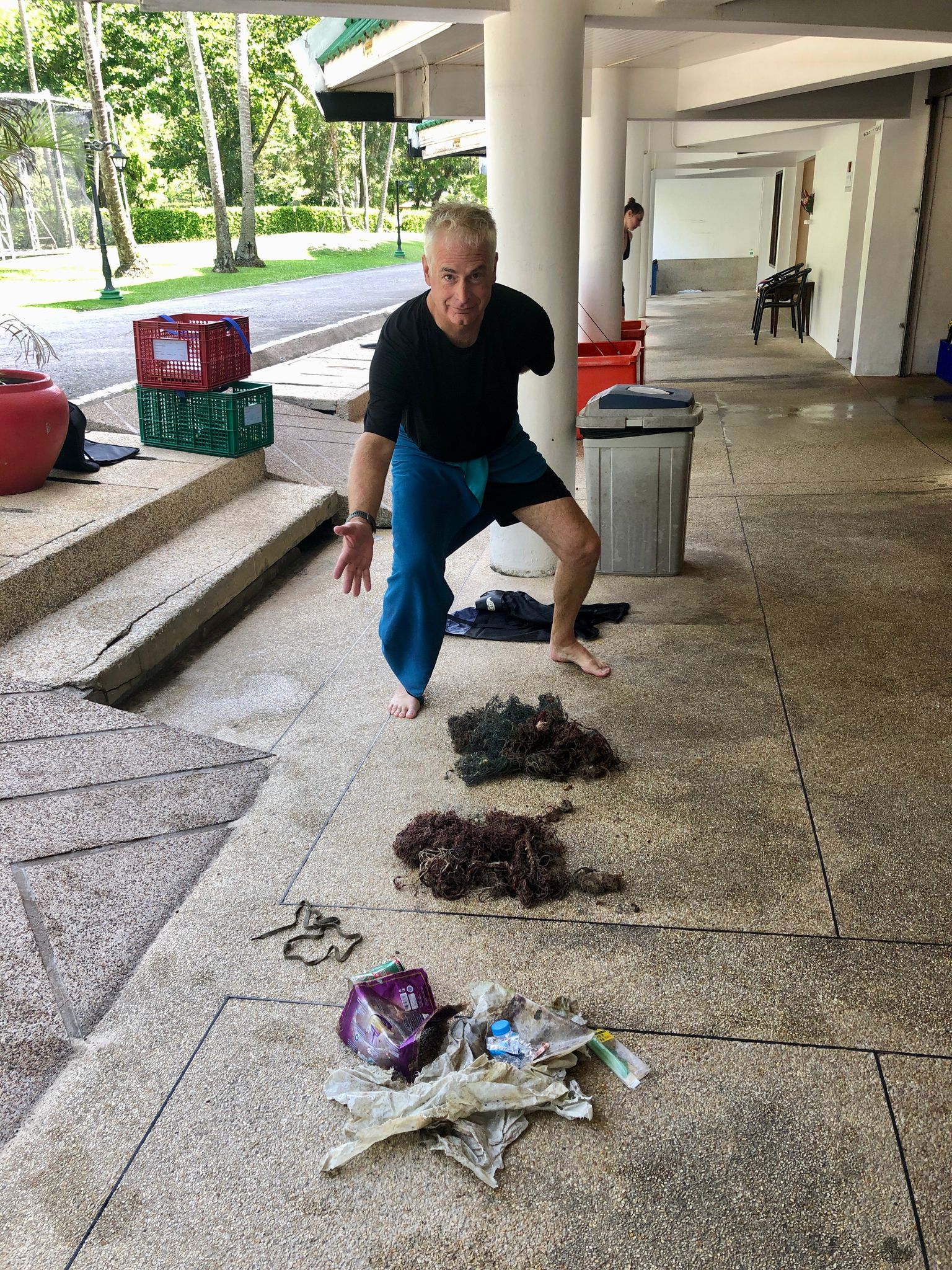
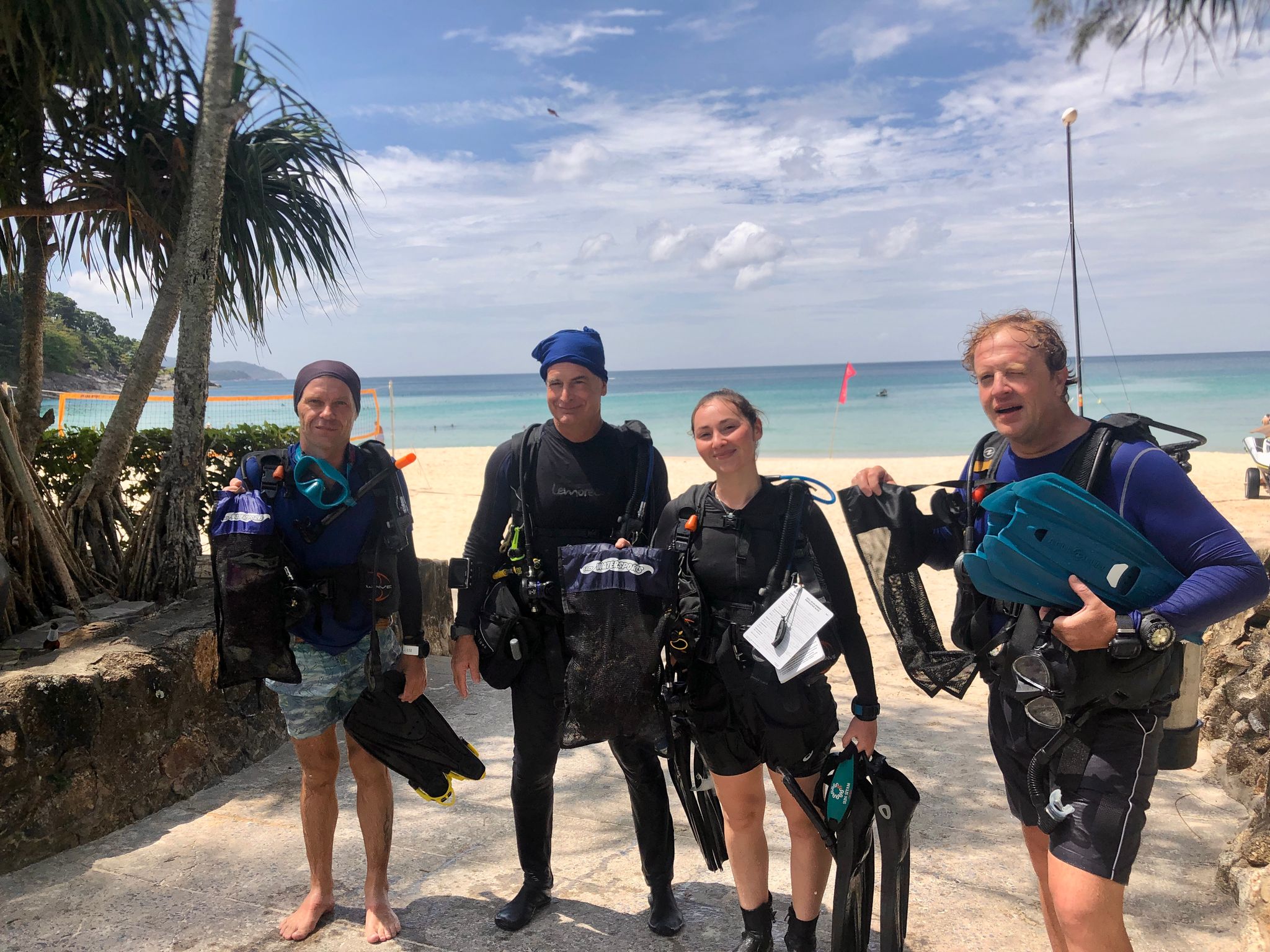
The IDC Candidates who particiapted thoroughly enjoyed the chance to give back to the environment they love. A key part of the IDC program.
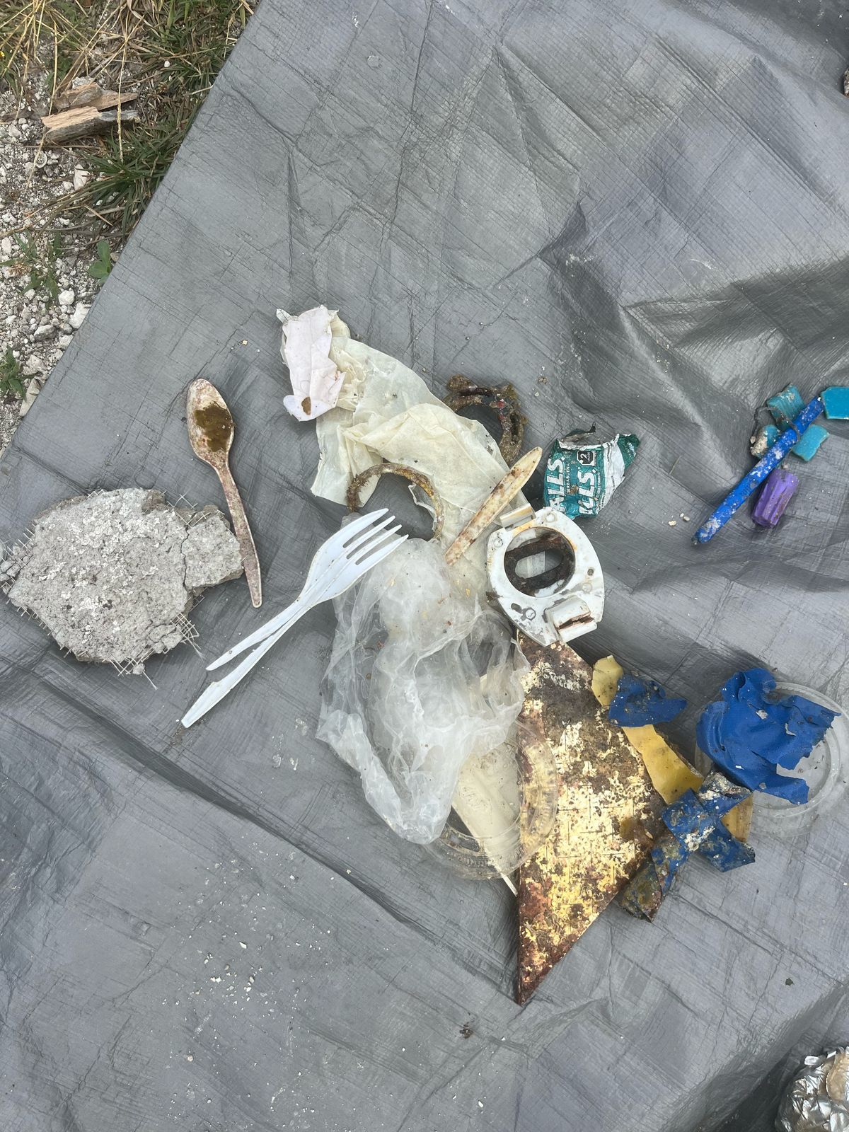
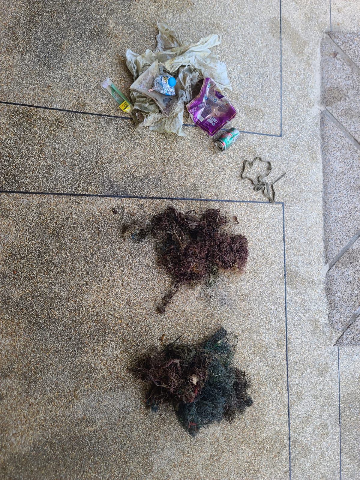
Laundry Bleach Container
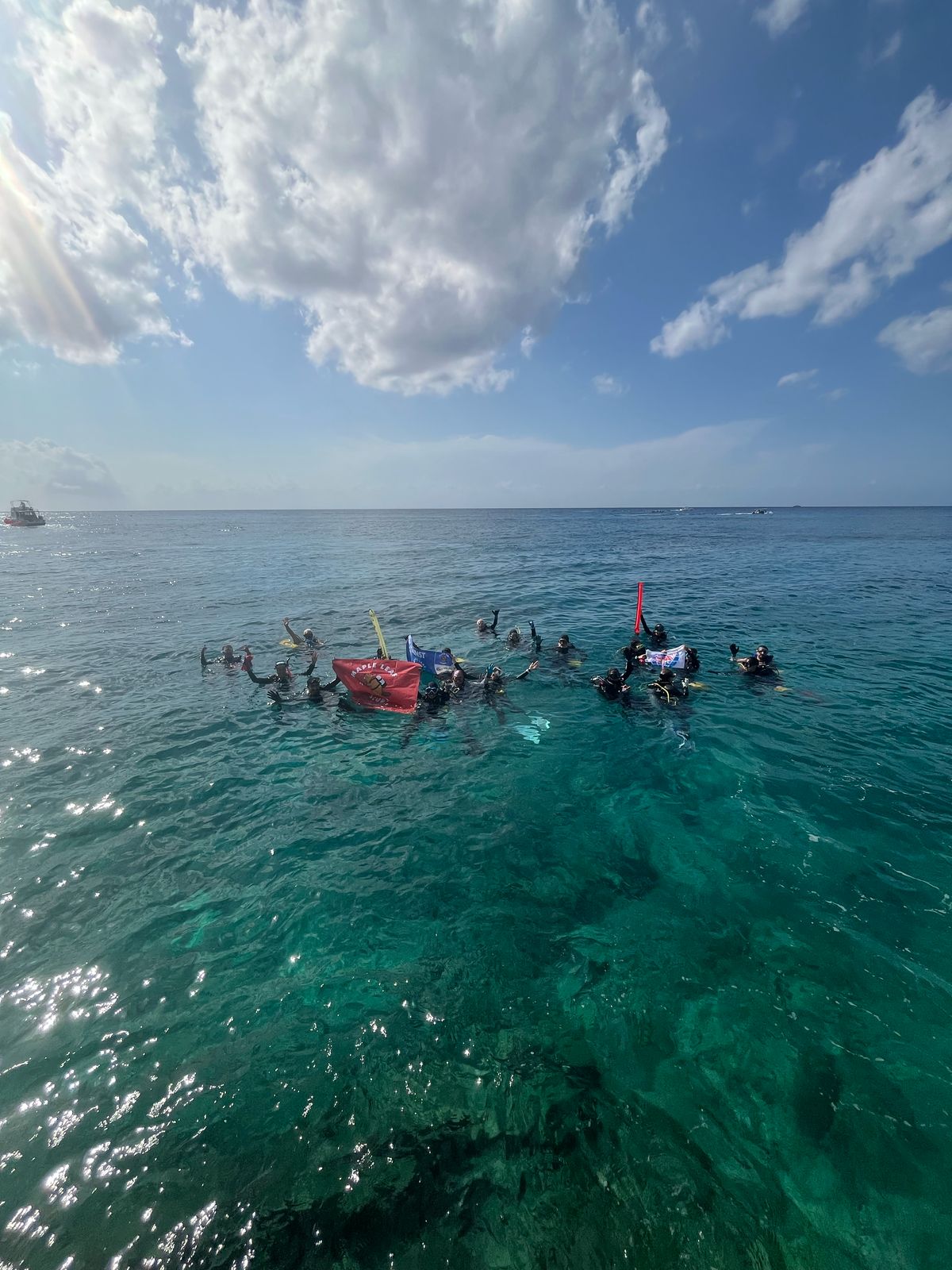
Calm Seas, Sunny
Sea Fun Divers
Kevin Sanford
4
1
5.00
45
10.00
5.00
estimated
500.00
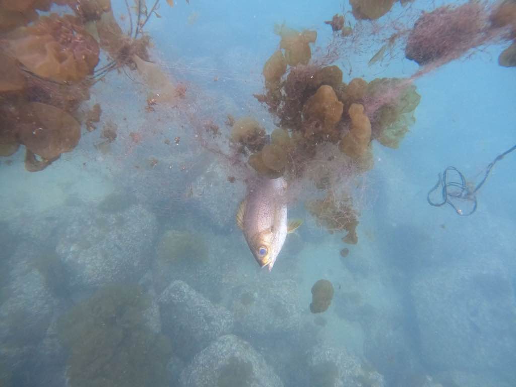
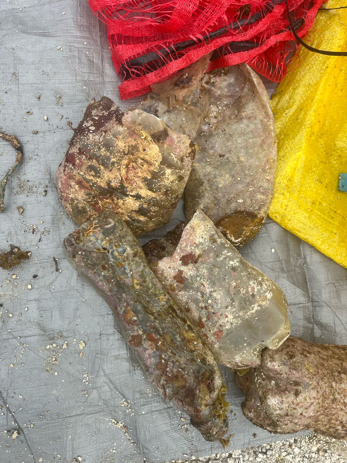
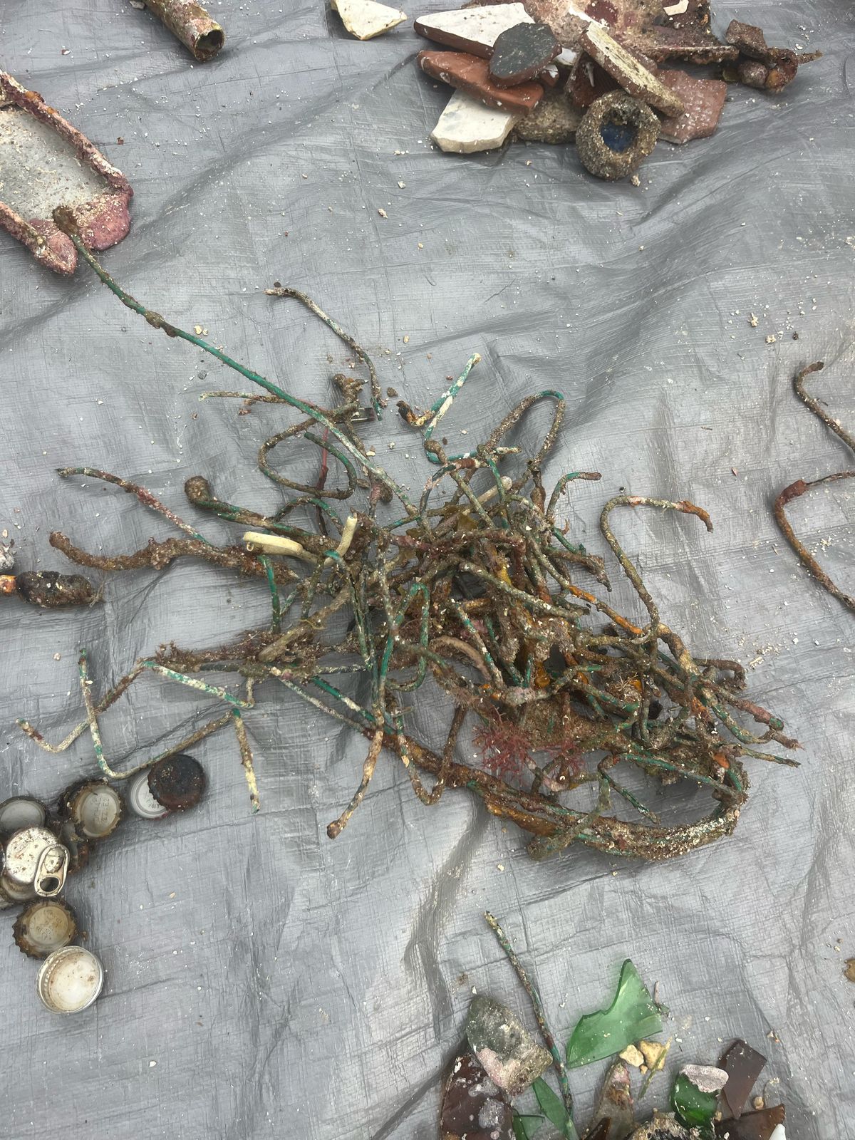
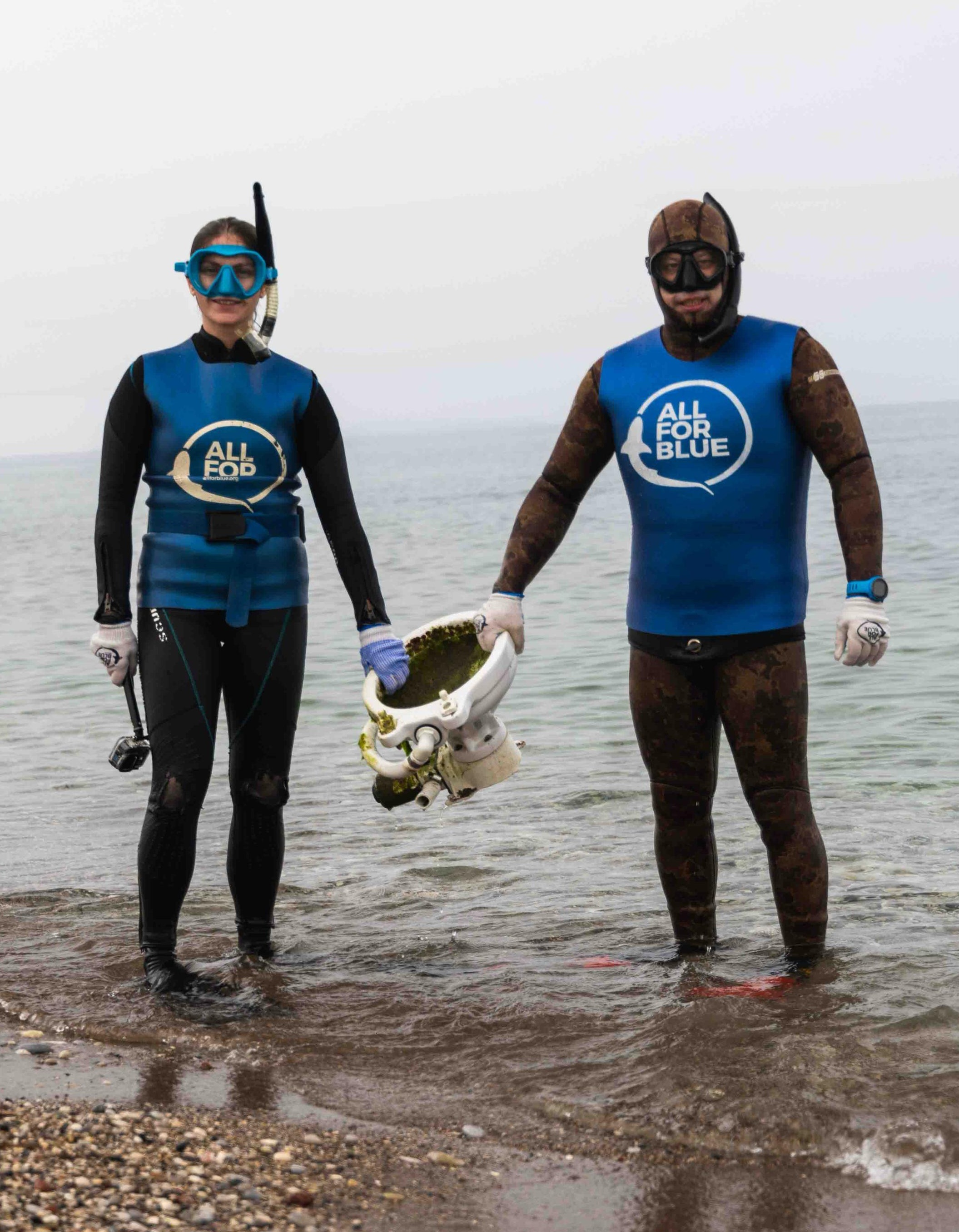
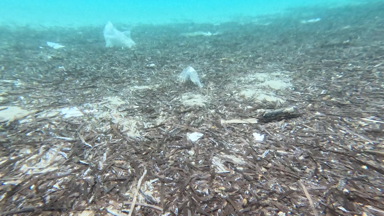
Fishing Nets entangled in Coral
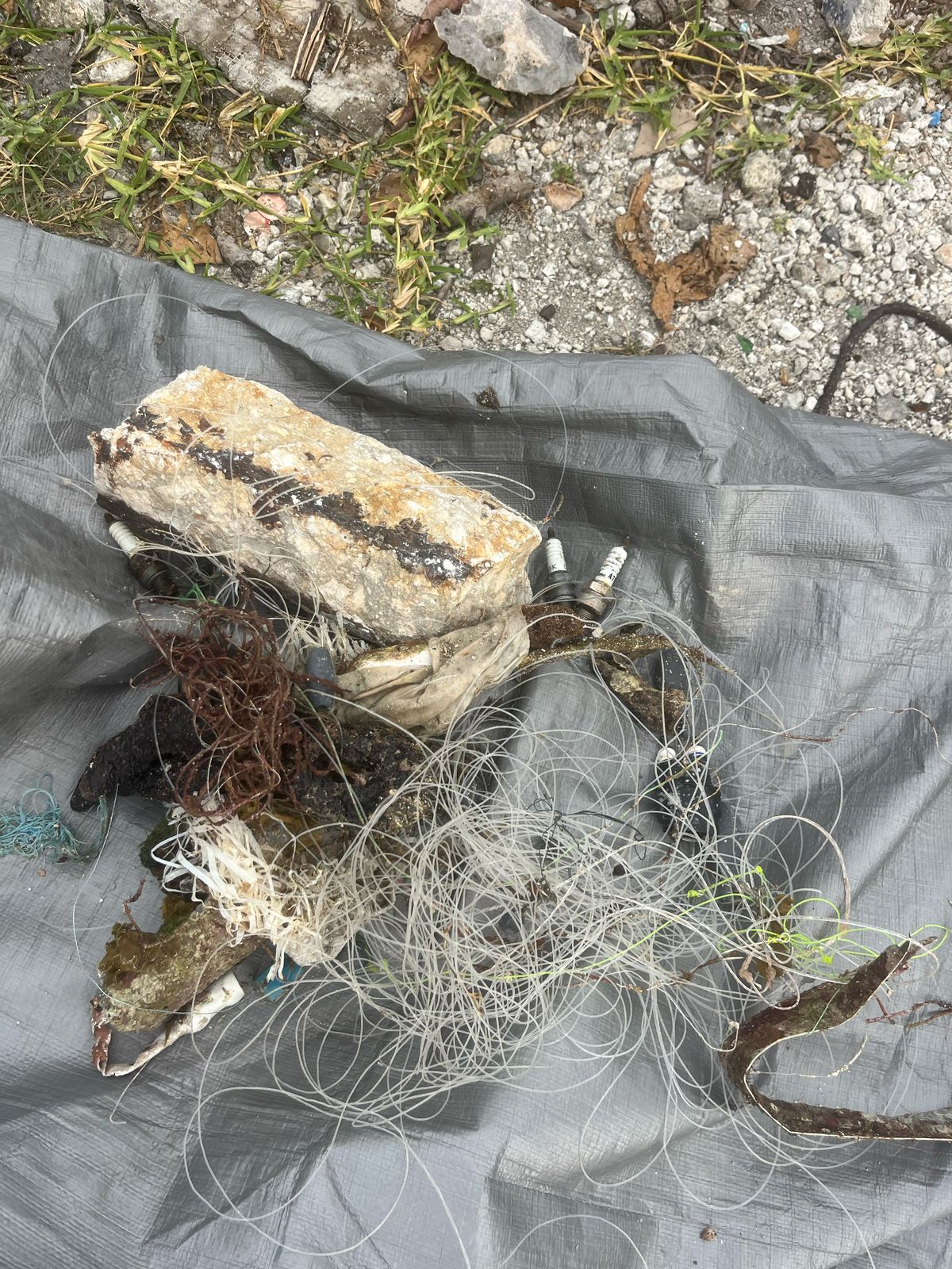
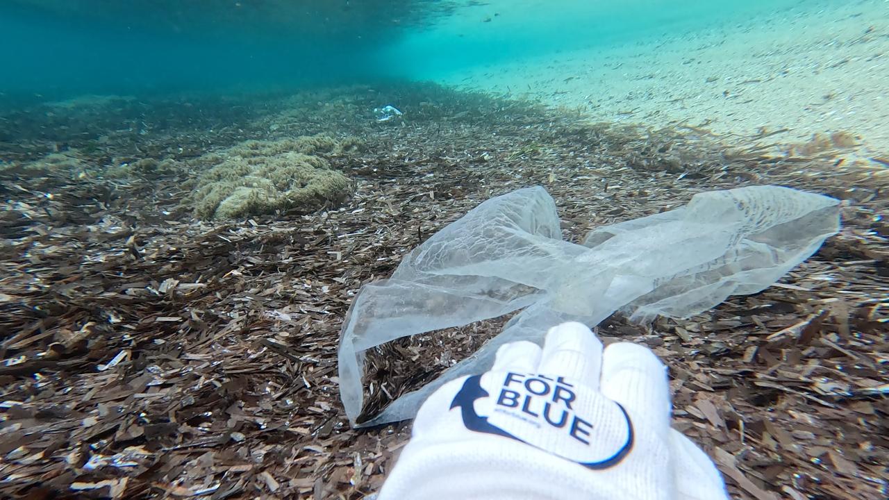
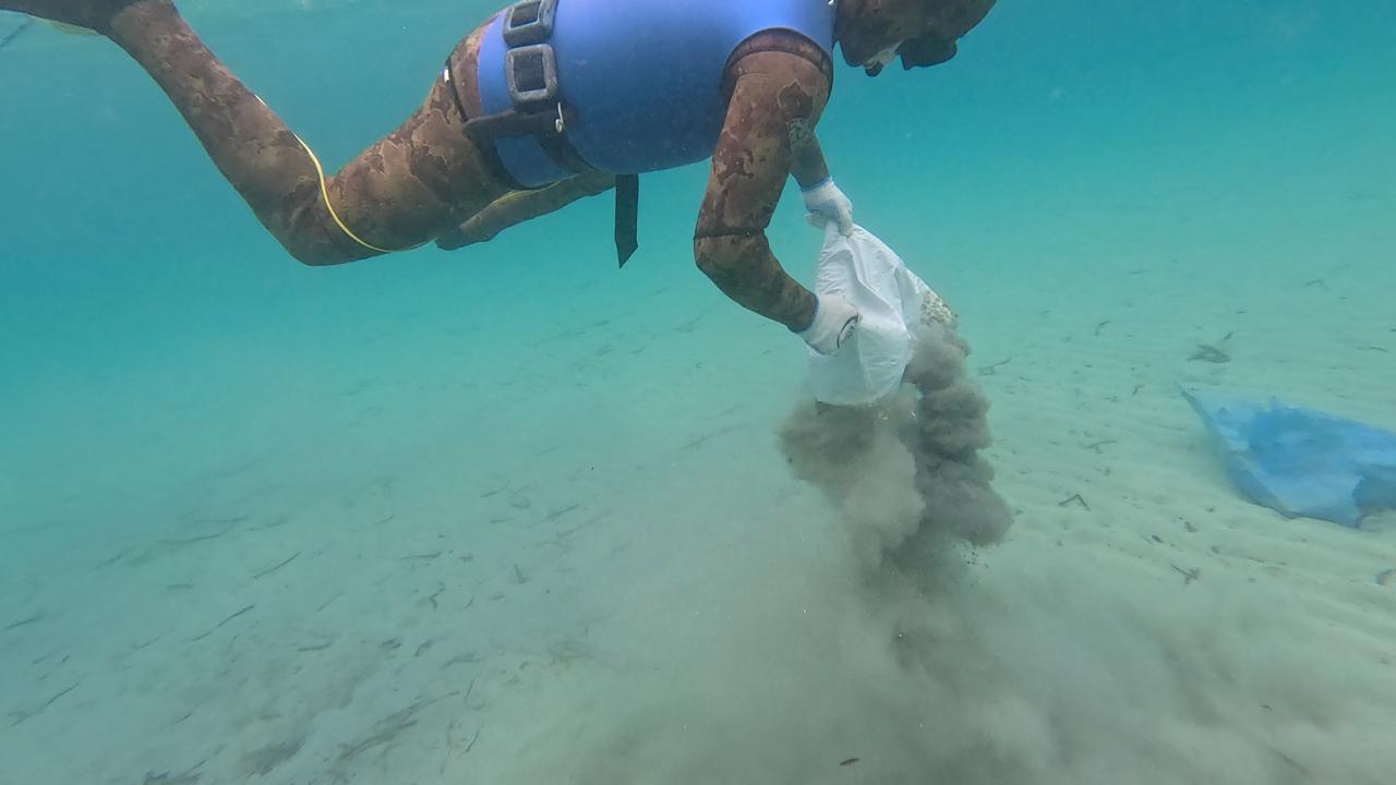
Plastic half buried in Sand
On
kilograms
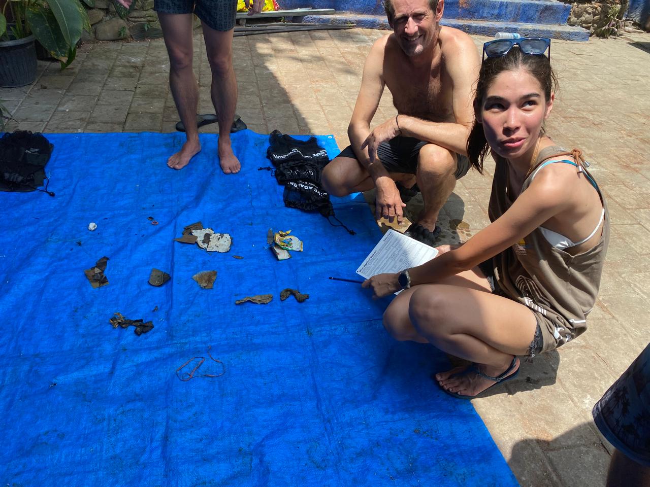
I have debris data to report
1
Smooth (wavelets) for waves 0.1 - 0.5 meter high
m2

meters
coral reef
State\Province
Phuket
City
Karon
Map Help
Dive Location
If you know your survey site coordinates, enter them manually in decimal degrees using WGS84 Map Datum. Use the minus sign for latitudes south of the equator and longitudes west of the Prime Meridian to 180 degrees.
If you do not know your survey site coordinates, click the “Map Location” tab to use the map to zoom into your survey site and drop the pin on the map to fall within your survey dive site in the water (not on land or the beach). Ensure you zoom in as much as possible to ensure data accuracy.
Entangled Help