Playa las vistas
32
2
sand
2
9
28.049694418422, -16.723166391398
03/04/2025 STORM in Tenerife and local event
High turbidity during the dive
Toys
03/04/2025 STORM in Tenerife
GUM
HAIR TIES
BANDAIDS
3
3
22
SEE YOU DIVING
SEE YOU DIVING
1
3
3
2
2
5
5
1
0.73
46
7.00
5.00
4
measured
113.56
Bandaids
4
On
kilograms
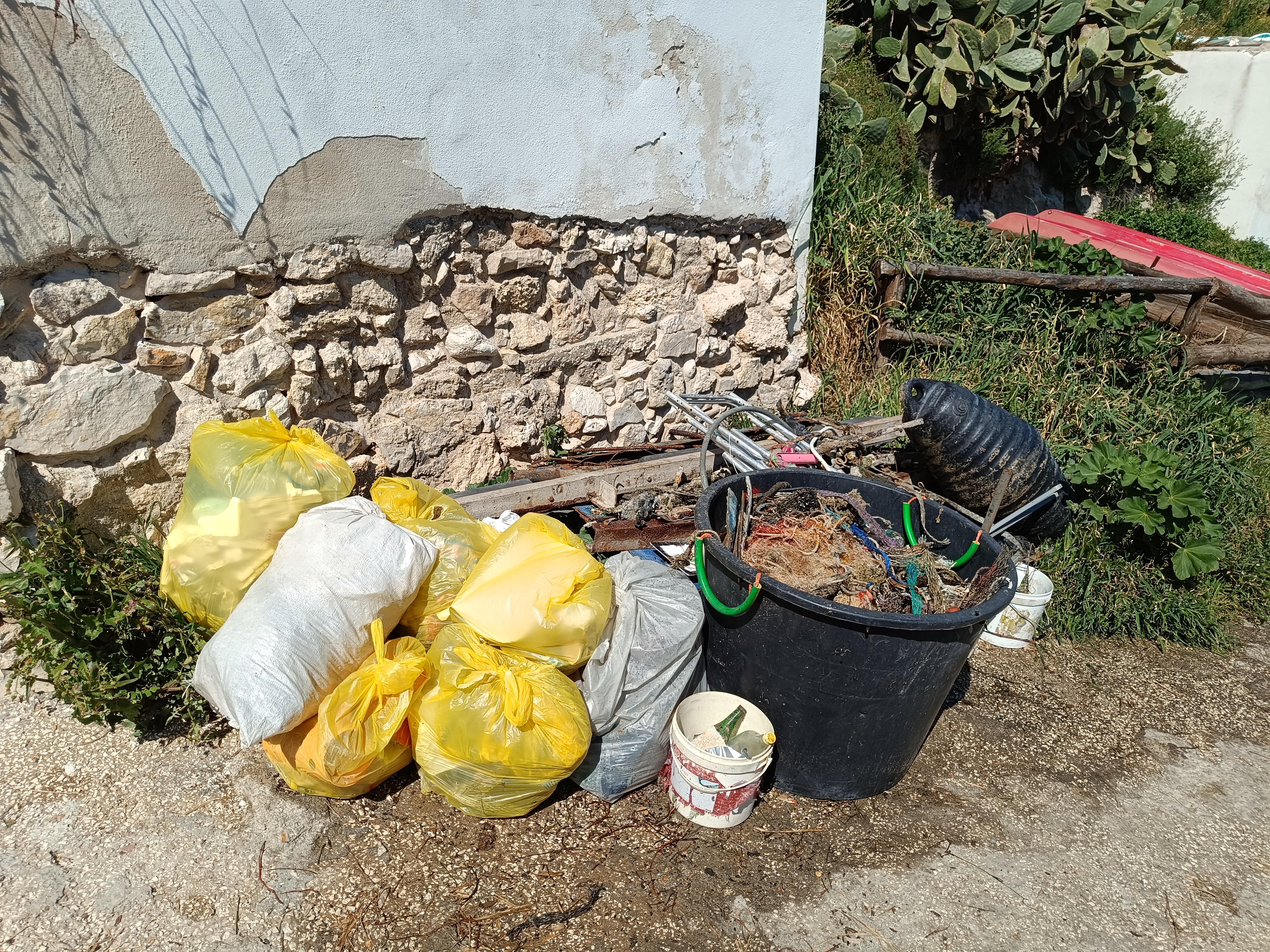
I have debris data to report
Slight for waves 0.5 -1.25 meter high
3
m2
meters
rocky reef
1
1
State\Province
SANTA CRUZ DE TENERIFE
City
LOS CRISTIANOS
Map Help
Dive Location
If you know your survey site coordinates, enter them manually in decimal degrees using WGS84 Map Datum. Use the minus sign for latitudes south of the equator and longitudes west of the Prime Meridian to 180 degrees.
If you do not know your survey site coordinates, click the “Map Location” tab to use the map to zoom into your survey site and drop the pin on the map to fall within your survey dive site in the water (not on land or the beach). Ensure you zoom in as much as possible to ensure data accuracy.
Entangled Help