South Sound Creek Channel Markers 7-14 (east side of the channel)
25.1026, -80.4142
Hurricane Irma
Wood pallets
Rough waves and wind 20+ knots
Amoray Dive Center
Dr. Harrison Albert
14
500.00
120
12.00
5.00
estimated
14000.00
Wood pallets
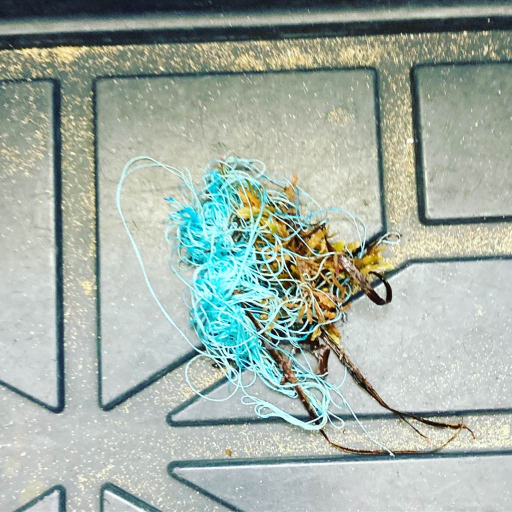
Rope
Beer cans
On
pounds
I have debris data to report
Moderate to rough for waves greater than 1.25 meters
m2
feet
mangroves
State\Province
Florida
City
Key Largo
Map Help
Dive Location
If you know your survey site coordinates, enter them manually in decimal degrees using WGS84 Map Datum. Use the minus sign for latitudes south of the equator and longitudes west of the Prime Meridian to 180 degrees.
If you do not know your survey site coordinates, click the “Map Location” tab to use the map to zoom into your survey site and drop the pin on the map to fall within your survey dive site in the water (not on land or the beach). Ensure you zoom in as much as possible to ensure data accuracy.
Entangled Help