Menu

Crescent

24.88945, -80.5665

rock
Smooth
Sea Base
Shaun L
7
0.00
43
30.00
20.00
estimated
8000.00
On
pounds
Our Survey Site was free of debris
Smooth (wavelets) for waves 0.1 - 0.5 meter high ft2
feet
coral reef
United States
State\Province
FL
City
Islamorada
Map Help


Dive Location

If you know your survey site coordinates, enter them manually in decimal degrees using WGS84 Map Datum. Use the minus sign for latitudes south of the equator and longitudes west of the Prime Meridian to 180 degrees.

If you do not know your survey site coordinates, click the “Map Location” tab to use the map to zoom into your survey site and drop the pin on the map to fall within your survey dive site in the water (not on land or the beach). Ensure you zoom in as much as possible to ensure data accuracy.

Entangled Help


Use the vertical tabs below to record any entangled animals you found of each type.

Victory

24.88836667, -80.5491

rock
Smooth
Sea Base
Shaun L
7
0.00
36
52.00
42.00
estimated
7000.00
On
pounds
Our Survey Site was free of debris
Calm (glassy to rippled) for waves 0 – 0.1 meter high ft2
feet
coral reef
United States
State\Province
FL
City
Islamorada
Map Help


Dive Location

If you know your survey site coordinates, enter them manually in decimal degrees using WGS84 Map Datum. Use the minus sign for latitudes south of the equator and longitudes west of the Prime Meridian to 180 degrees.

If you do not know your survey site coordinates, click the “Map Location” tab to use the map to zoom into your survey site and drop the pin on the map to fall within your survey dive site in the water (not on land or the beach). Ensure you zoom in as much as possible to ensure data accuracy.

Entangled Help


Use the vertical tabs below to record any entangled animals you found of each type.

Long Key Ledge

24.7186, -80.842017

rock
Smooth
Sea Base
Shaun L
8
0.00
37
26.00
16.00
estimated
7000.00
On
pounds
Our Survey Site was free of debris
Calm (glassy to rippled) for waves 0 – 0.1 meter high ft2
feet
coral reef
United States
State\Province
FL
City
Islamorada
Map Help


Dive Location

If you know your survey site coordinates, enter them manually in decimal degrees using WGS84 Map Datum. Use the minus sign for latitudes south of the equator and longitudes west of the Prime Meridian to 180 degrees.

If you do not know your survey site coordinates, click the “Map Location” tab to use the map to zoom into your survey site and drop the pin on the map to fall within your survey dive site in the water (not on land or the beach). Ensure you zoom in as much as possible to ensure data accuracy.
Entangled Help


Use the vertical tabs below to record any entangled animals you found of each type.

Alligator Reef #1

24.84566667, -80.62368333

rock
Smooth
Sea Base
Shaun L
8
0.00
33
26.00
16.00
estimated
6500.00
On
pounds
Our Survey Site was free of debris
Calm (glassy to rippled) for waves 0 – 0.1 meter high ft2
feet
coral reef
United States
State\Province
FL
City
Islamorada
Map Help


Dive Location

If you know your survey site coordinates, enter them manually in decimal degrees using WGS84 Map Datum. Use the minus sign for latitudes south of the equator and longitudes west of the Prime Meridian to 180 degrees.

If you do not know your survey site coordinates, click the “Map Location” tab to use the map to zoom into your survey site and drop the pin on the map to fall within your survey dive site in the water (not on land or the beach). Ensure you zoom in as much as possible to ensure data accuracy.

Entangled Help


Use the vertical tabs below to record any entangled animals you found of each type.

Davey Crocker

24.91393333, -80.51523333

rock
Smooth
Sea Base
Shaun L
8
0.00
41
27.00
17.00
estimated
7500.00
On
pounds
Our Survey Site was free of debris
Smooth (wavelets) for waves 0.1 - 0.5 meter high ft2
feet
coral reef
United States
State\Province
FL
City
Islamorada
Map Help


Dive Location

If you know your survey site coordinates, enter them manually in decimal degrees using WGS84 Map Datum. Use the minus sign for latitudes south of the equator and longitudes west of the Prime Meridian to 180 degrees.

If you do not know your survey site coordinates, click the “Map Location” tab to use the map to zoom into your survey site and drop the pin on the map to fall within your survey dive site in the water (not on land or the beach). Ensure you zoom in as much as possible to ensure data accuracy.

Entangled Help


Use the vertical tabs below to record any entangled animals you found of each type.

Davis Ledge #2

24.92233333, -80.5055

rock
Smooth
Sea Base
Shaun L
2
8
1.00
40
28.00
18.00
estimated
7500.00
On
pounds
I have debris data to report
Smooth (wavelets) for waves 0.1 - 0.5 meter high ft2
feet
coral reef
United States
State\Province
FL
City
Islamorada
Map Help


Dive Location

If you know your survey site coordinates, enter them manually in decimal degrees using WGS84 Map Datum. Use the minus sign for latitudes south of the equator and longitudes west of the Prime Meridian to 180 degrees.

If you do not know your survey site coordinates, click the “Map Location” tab to use the map to zoom into your survey site and drop the pin on the map to fall within your survey dive site in the water (not on land or the beach). Ensure you zoom in as much as possible to ensure data accuracy.

Entangled Help


Use the vertical tabs below to record any entangled animals you found of each type.

Goal Clean Seas Pre-Assigned GPS off FRENCH Reef

1
1

25.037386, -80.343342

4
coral
30
This is a big Reef Fishing area for commercial fishing and private boat fishing and all this debris came from fishing persons.
2'x2' chunk of thick metal plating.
ENE winds 10 -15 knots, 2-3 feet seas, viz 20 -40 feet, mild to moderate current, water temp 87F.
Sail Fish Scuba
Jennifer Kerr
1
1
6
39.00
52
74.00
56.00
estimated
3
600.00
monofil fishing line & hooks
On
pounds
I have debris data to report
Slight for waves 0.5 -1.25 meter high
1
ft2
feet
coral reef
2
1
United States
State\Province
Florida
City
Key Largo
Map Help


Dive Location

If you know your survey site coordinates, enter them manually in decimal degrees using WGS84 Map Datum. Use the minus sign for latitudes south of the equator and longitudes west of the Prime Meridian to 180 degrees.

If you do not know your survey site coordinates, click the “Map Location” tab to use the map to zoom into your survey site and drop the pin on the map to fall within your survey dive site in the water (not on land or the beach). Ensure you zoom in as much as possible to ensure data accuracy.

Entangled Help


Use the vertical tabs below to record any entangled animals you found of each type.

Christmas Tree Cave

sand

25.035100039149, -80.351462899374

Windy, rain
Rainbow Reef Dive Center
Paul Nonemaker
6
0.00
23
36.00
12.00
estimated
20000.00
On
pounds
Our Survey Site was free of debris
Slight for waves 0.5 -1.25 meter high ft2
feet
coral reef
United States
State\Province
FL
City
Key Largo
Map Help


Dive Location

If you know your survey site coordinates, enter them manually in decimal degrees using WGS84 Map Datum. Use the minus sign for latitudes south of the equator and longitudes west of the Prime Meridian to 180 degrees.

If you do not know your survey site coordinates, click the “Map Location” tab to use the map to zoom into your survey site and drop the pin on the map to fall within your survey dive site in the water (not on land or the beach). Ensure you zoom in as much as possible to ensure data accuracy.

Entangled Help


Use the vertical tabs below to record any entangled animals you found of each type.

WZT - Wassersportzentrum Tiefenbrunnen

3
10
silt

47.345955878514, 8.5634307272499

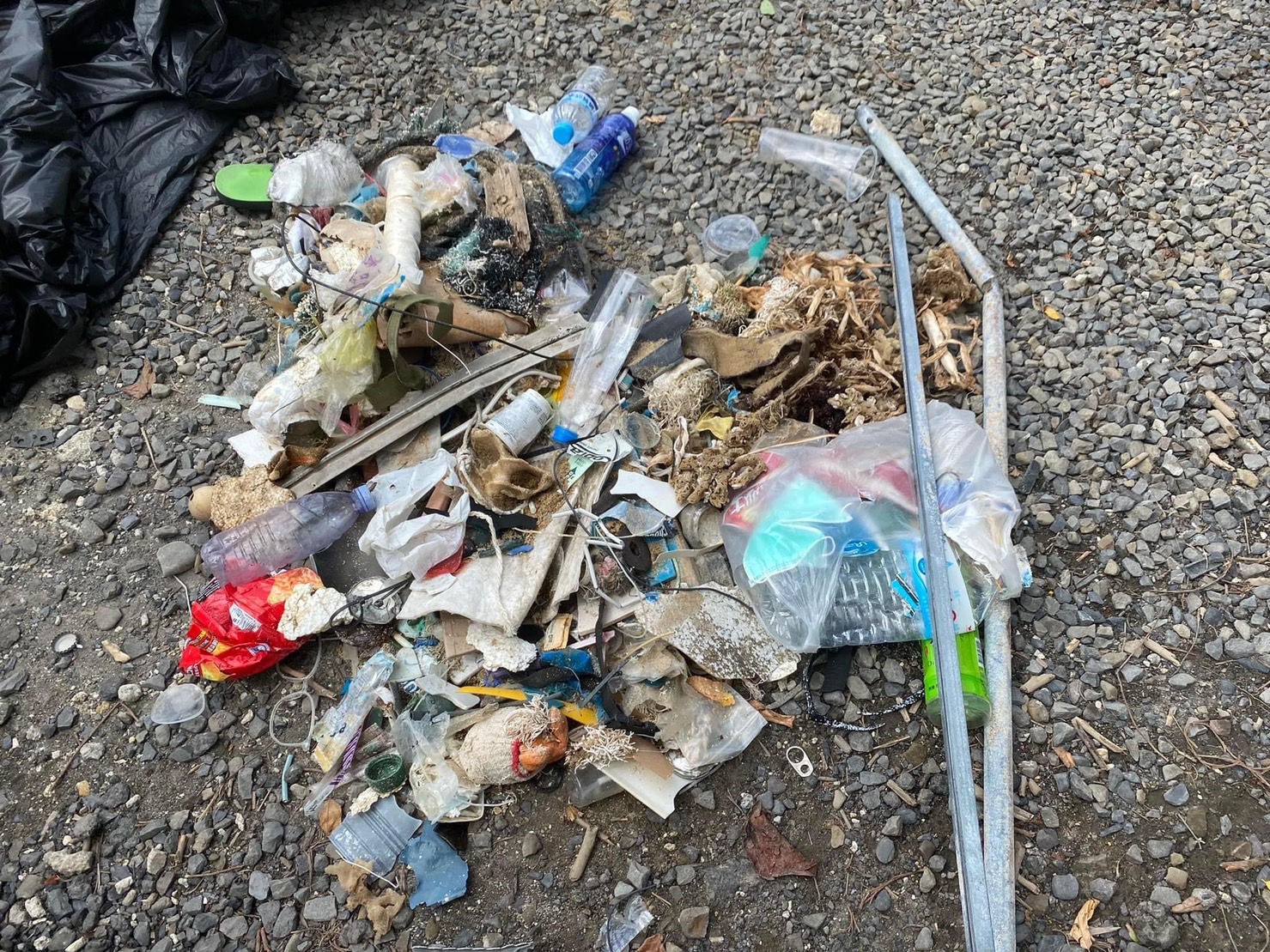
Party location and lake swimming area right next to dive site. Lots of leisuretime fishermen in the area
rubber bands
huge heat wave, no rain, no wind, calm
TSK Zürich
Yancy
1
1
3
1.50
42
9.50
1.00
estimated
300.00
fishing ropes, strings - risk of entanglement and damage to lake life
plastic - food and beverage containers - breaks down to micro plastic and is ingested by very abundant fish life at this site
3
On
kilograms
I have debris data to report
Calm (glassy to rippled) for waves 0 – 0.1 meter high
1
22
m2
1
meters
other
Switzerland
City
Zürich
Map Help


Dive Location

If you know your survey site coordinates, enter them manually in decimal degrees using WGS84 Map Datum. Use the minus sign for latitudes south of the equator and longitudes west of the Prime Meridian to 180 degrees.

If you do not know your survey site coordinates, click the “Map Location” tab to use the map to zoom into your survey site and drop the pin on the map to fall within your survey dive site in the water (not on land or the beach). Ensure you zoom in as much as possible to ensure data accuracy.
Entangled Help


Use the vertical tabs below to record any entangled animals you found of each type.

Ecosystem Other
fresh water lake

Coral Beach

76
10
0
0

-8.728732, 115.910661

0
0
0
coral
1
93
1
0
0
2
4
2
2
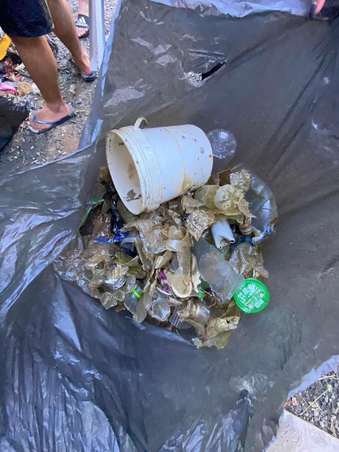
Bag of stuff
Detergent wrapper
Shampoo wrapper
Toothpaste
SORCE
0
0
0
26
0
0
0
0
0
0
10
0
0
0
2
0
0
1
0
7
0
0
0
0
0
0
2
0
0
0
0
0
0
0
0
0
4.98
45
18.00
5.00
1
measured
0
0
0
0
4843.00
0
0
0
0
0
0
On
kilograms
0
I have debris data to report
1
0
0
Smooth (wavelets) for waves 0.1 - 0.5 meter high
0
0
0
0
1
0
0
m2
0
0
meters
coral reef
0
0
0
0
0
0
0
0
0
0
0
0
0
0
0
0
0
0
0
0
0
0
0
0
0
0
0
0
0
Indonesia
City
Sekotong
Map Help


Dive Location

If you know your survey site coordinates, enter them manually in decimal degrees using WGS84 Map Datum. Use the minus sign for latitudes south of the equator and longitudes west of the Prime Meridian to 180 degrees.

If you do not know your survey site coordinates, click the “Map Location” tab to use the map to zoom into your survey site and drop the pin on the map to fall within your survey dive site in the water (not on land or the beach). Ensure you zoom in as much as possible to ensure data accuracy.
Entangled Help


Use the vertical tabs below to record any entangled animals you found of each type.

Subscribe to