
Empacadora
1
39
5
1
22.880479039899, -109.90391059886
2
0
0
sand
0
5
3
22
0
With help from Juana and Rodrigo of Visit Los Cabos
Lots of tourists lately
Tennis racket or tiny toy sheep
Released from net
Some rain and wind
1
1
1
1
1
1
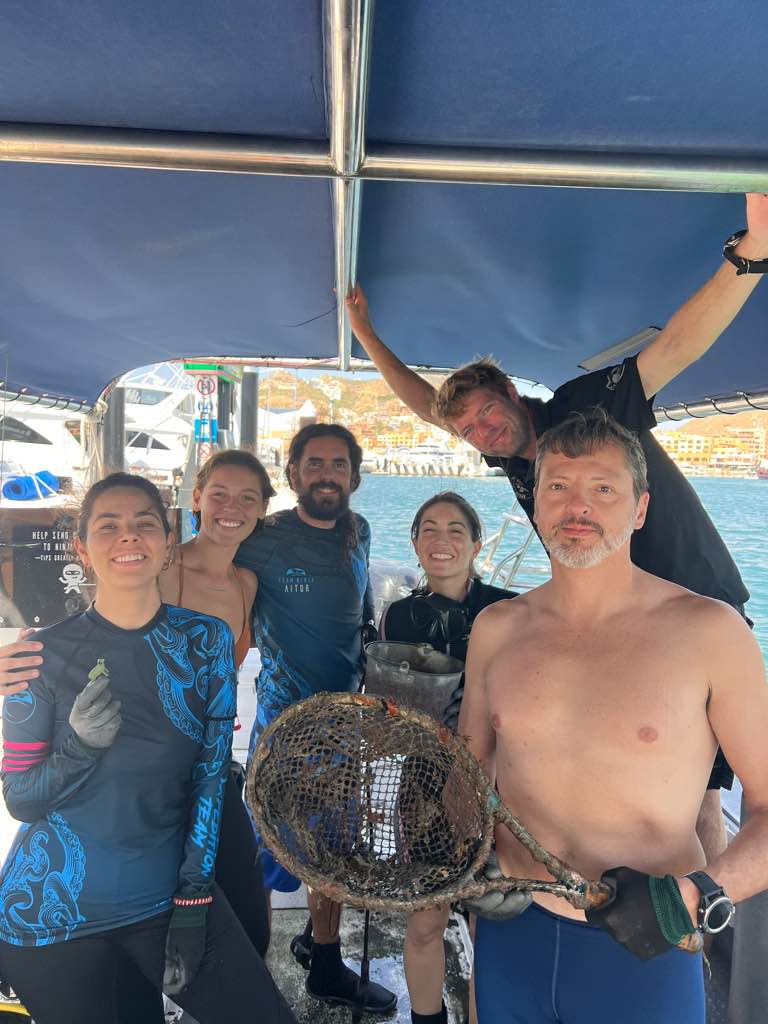
Tennis racket
Broom
Metal bucket
Tennis racket
Broom
Metal bucket
Dive Ninja Expedition
Jay
0
0
0
7
0
0
0
0
1
0
0
1
0
1
0
0
0
8
3
7
2
0
2
0
1
0
12
0
0
3
0
0
1
0
0
0
50.00
44
17.00
5.00
1
measured
0
26
4775.74
0
0
0
0
0
Aluminum cans
Fishing line
Plastics
16
On
kilograms
0
I have debris data to report
11
1
0
Calm (glassy to rippled) for waves 0 – 0.1 meter high
3
2
1
Released Unharmed
Blenny
1
Tennis racket
0
11
0
0
m2
9
2
meters
rocky reef
3
0
1
0
0
2
0
2
0
13
0
0
0
0
0
0
0
163
0
0
1
1
4
0
0
0
0
2
0
State\Province
Baja California Sur
City
Cabo San Lucas
Map Help
Dive Location
If you know your survey site coordinates, enter them manually in decimal degrees using WGS84 Map Datum. Use the minus sign for latitudes south of the equator and longitudes west of the Prime Meridian to 180 degrees.
If you do not know your survey site coordinates, click the “Map Location” tab to use the map to zoom into your survey site and drop the pin on the map to fall within your survey dive site in the water (not on land or the beach). Ensure you zoom in as much as possible to ensure data accuracy.
Entangled Help


