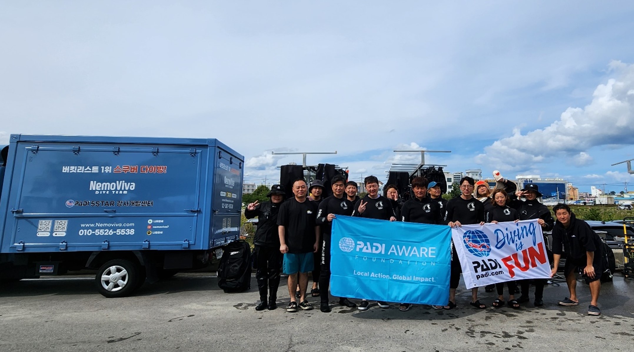
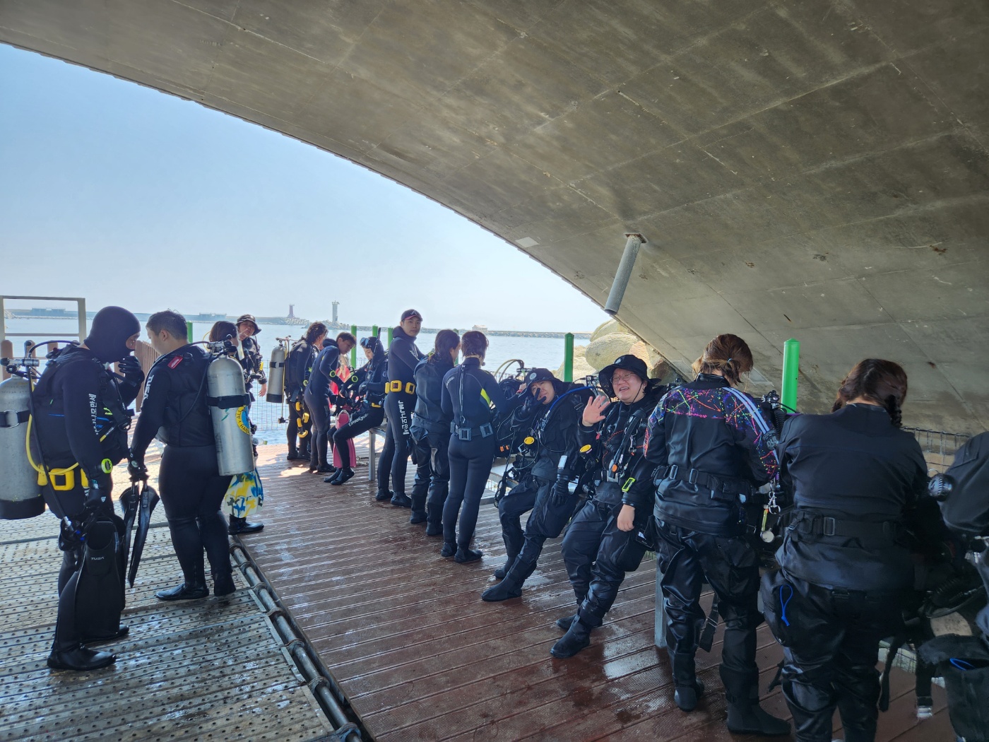
NemoViva Dive Against Debris
8
27
sand
37.884251837612, 128.83019723546
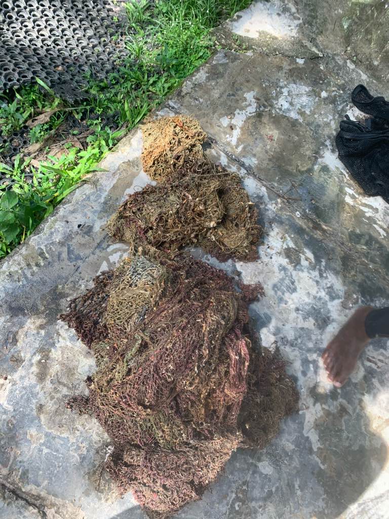
어망, 무분별한 쓰레기 투척
Fishing nets, indiscriminate throwing of trash
漁網、無分別のごみ投げ
Fishing nets, indiscriminate throwing of trash
漁網、無分別のごみ投げ
구름 많음, 기온19도, 파고 0,98m 바람이 좀 있었음
Lots of clouds, temperature 19 degrees, wave height 0.98m, there was some wind
雲多め、気温19度、波高0.98m、風あり
Lots of clouds, temperature 19 degrees, wave height 0.98m, there was some wind
雲多め、気温19度、波高0.98m、風あり
NemoViva(S-25599)
SE ROM KIM
20
25
9
3
20.00
32
10.00
5.00
estimated
17
1048.62
4
폐그물
낚시미끼
낚시대
On
kilograms
I have debris data to report
7
Slight for waves 0.5 -1.25 meter high
1
1
m2
8
meters
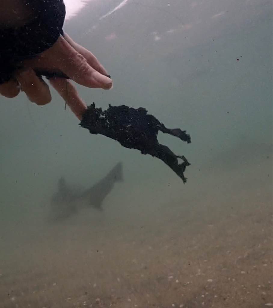
rocky reef
3
13
State\Province
Jumunjin-eup
City
Gangneung-si
Map Help
Dive Location
If you know your survey site coordinates, enter them manually in decimal degrees using WGS84 Map Datum. Use the minus sign for latitudes south of the equator and longitudes west of the Prime Meridian to 180 degrees.
If you do not know your survey site coordinates, click the “Map Location” tab to use the map to zoom into your survey site and drop the pin on the map to fall within your survey dive site in the water (not on land or the beach). Ensure you zoom in as much as possible to ensure data accuracy.
Entangled Help