370761 Point Panic
2
1
10
1
rock
1
50
21.29065078163, -157.8605227462
I heart Jack Fishman.
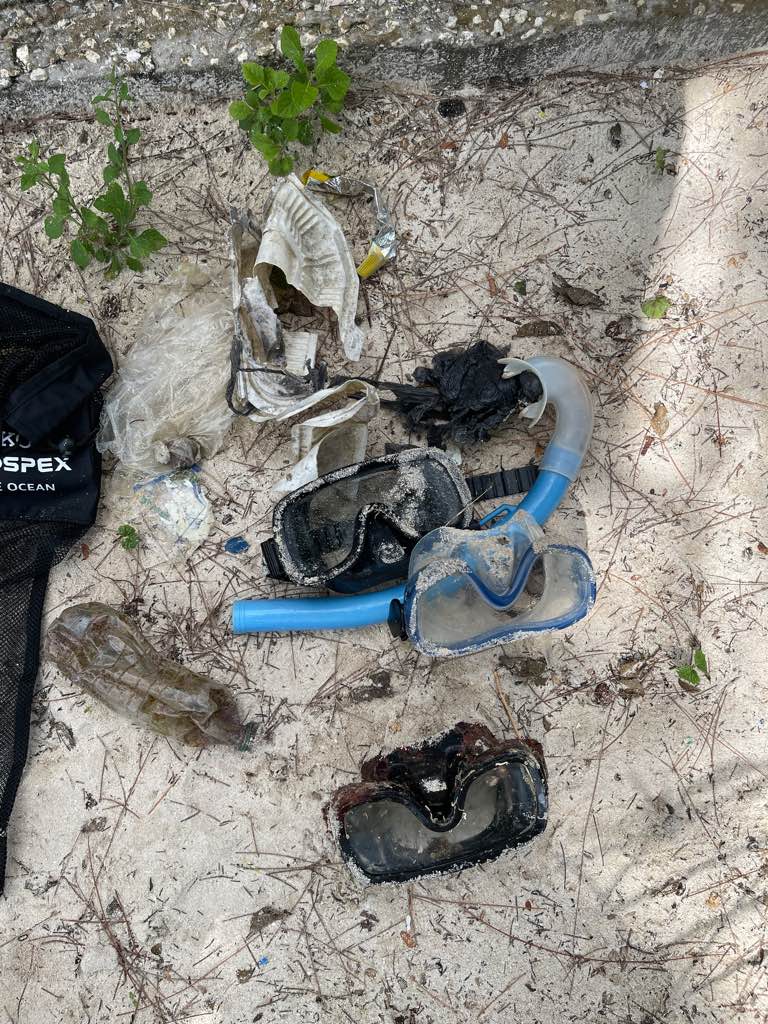
Airplane tire, Crack pipe, bullet, pocket knife, road traffic safety light, safety glasses
Light winds, light rain
1
1
1
1
1
1
1
1
tea pot
knife
safety signal traffic light
ab roller
tennis ball container
pen plastic
Glass Crack Pipe
Bullet
Nudi Wear
Christy Johnson
2
12
4
1
1
17
10
4
2
237.00
50
26.00
4.00
2
measured
322
100.00
2
1
1
On
pounds
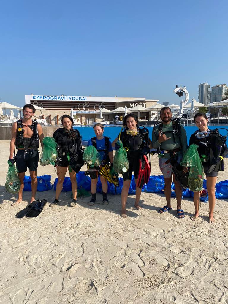
I have debris data to report
40
Moderate to rough for waves greater than 1.25 meters
1
2
5
m2


2
feet
rocky reef
16
1
3
6
1
52
3
25
1
3
State\Province
HI
City
Honolulu
Map Help
Dive Location
If you know your survey site coordinates, enter them manually in decimal degrees using WGS84 Map Datum. Use the minus sign for latitudes south of the equator and longitudes west of the Prime Meridian to 180 degrees.
If you do not know your survey site coordinates, click the “Map Location” tab to use the map to zoom into your survey site and drop the pin on the map to fall within your survey dive site in the water (not on land or the beach). Ensure you zoom in as much as possible to ensure data accuracy.
Entangled Help