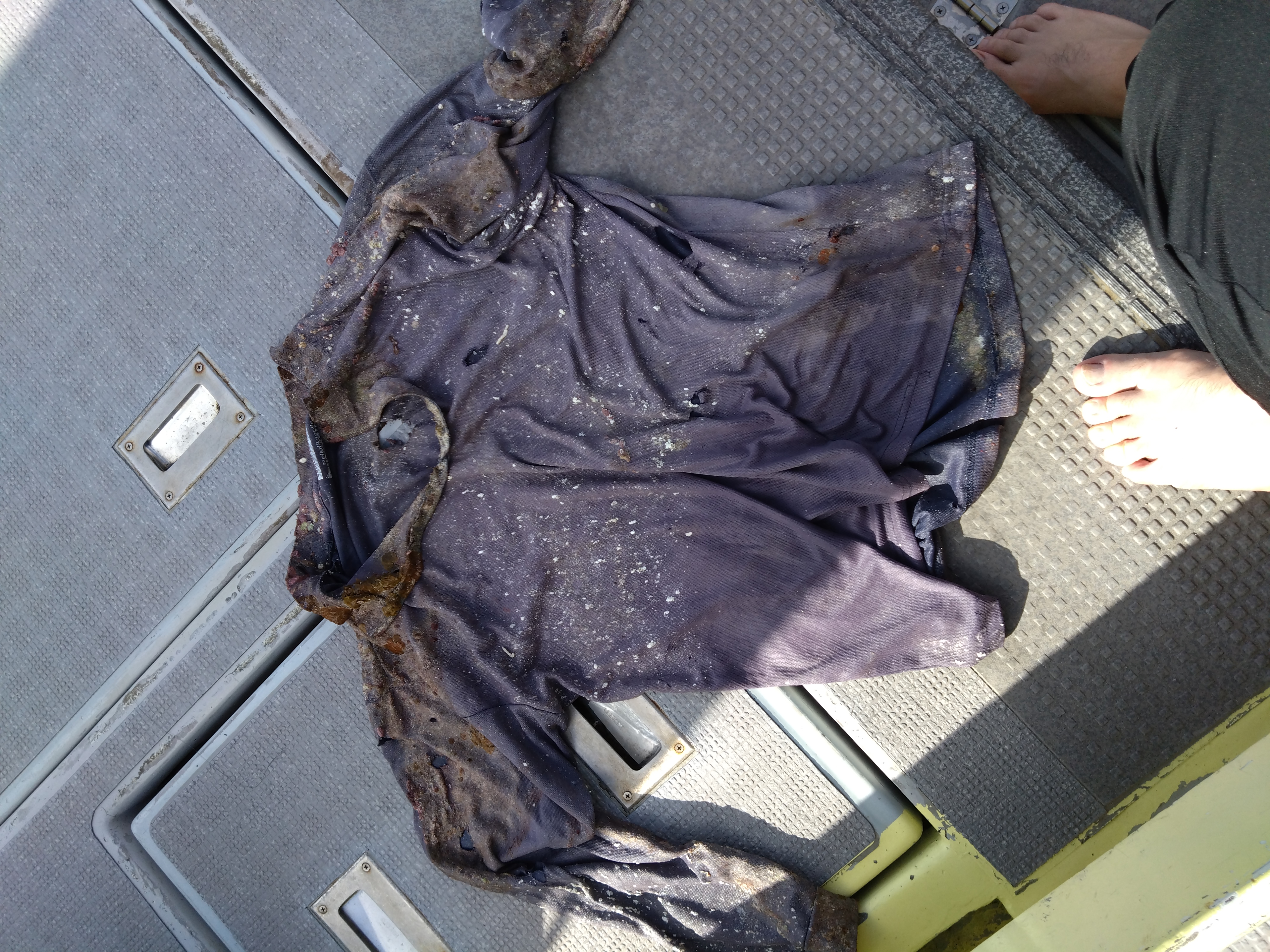
370761 Point Panic
5
22
1
9
1
rock
5
1
42
21.290936765775, -157.86015780823
Nice!
1
1
1
1
1
1
1
1
2
2
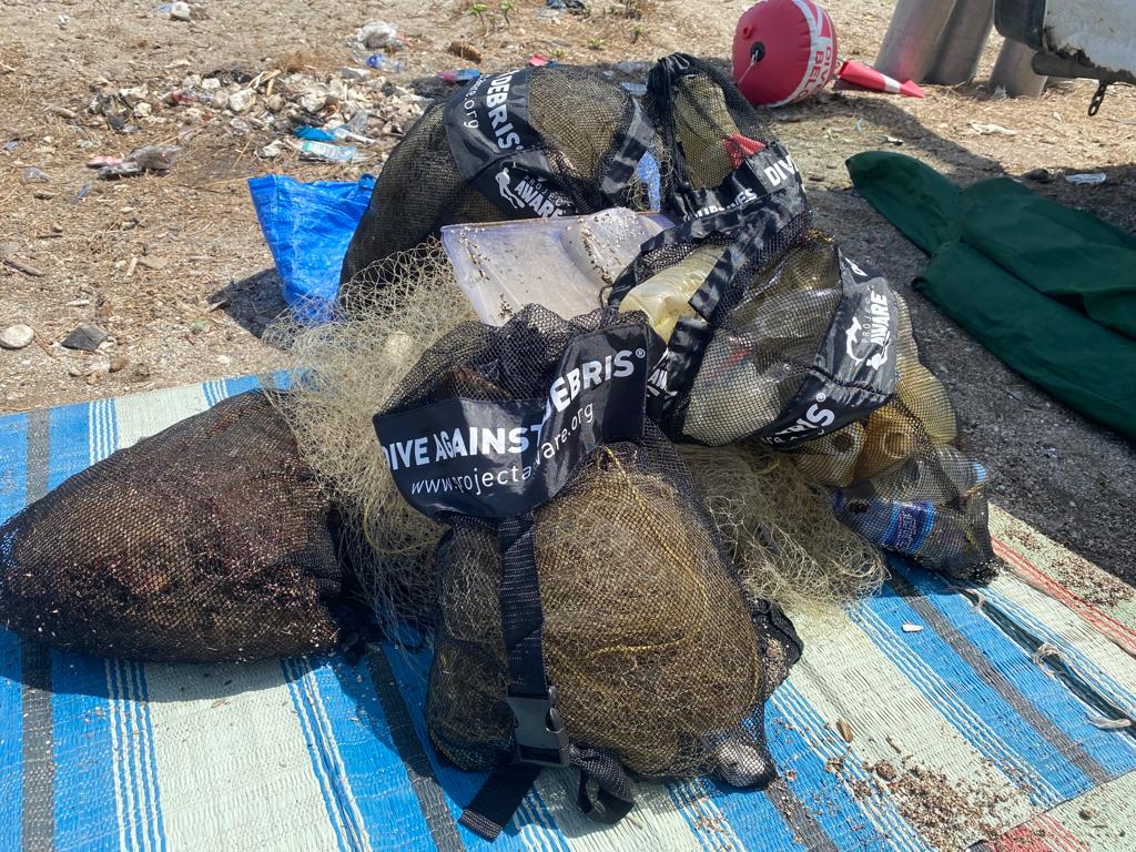
Serving trays
Hair brush
TV with remote
Safety mask visor
Metal No Parking sign
Plastic paint tray
Power Cord
Bike light
Bike tires
Bike tubes
Nudi Wear
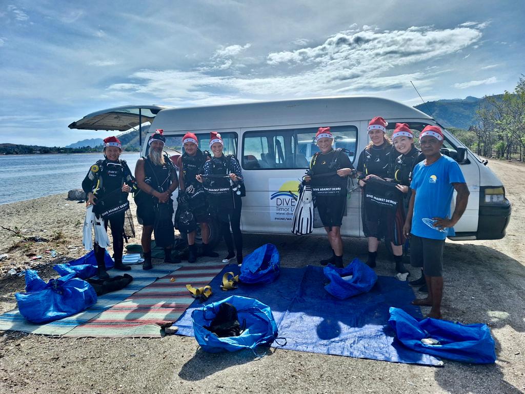
Christy Johnson
3
13
3
2
1
1
4
17
23
30
2
342.00
55
26.00
4.00
1
measured
1
134
400.00
1
6
On
pounds
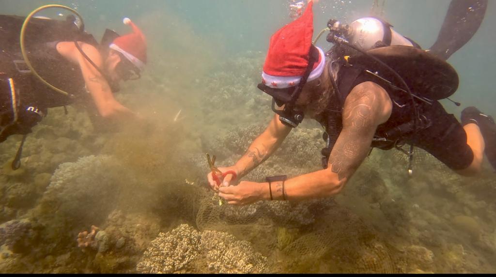
I have debris data to report
135
Calm (glassy to rippled) for waves 0 – 0.1 meter high
6
ft2


2
1
feet
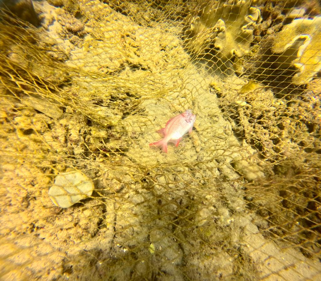
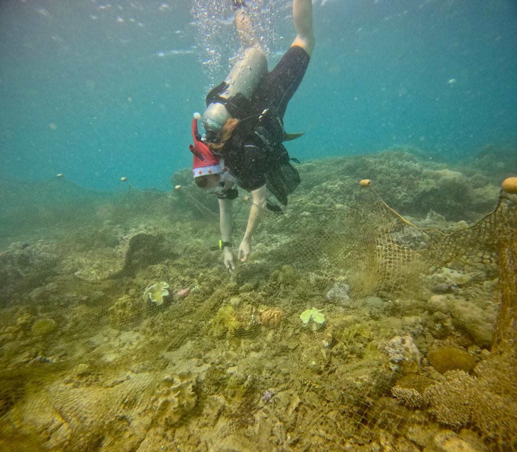
rocky reef
8
2
3
6
1
1
1
49
2
4
68
1
5
State\Province
HI
City
Honolulu
Map Help
Dive Location
If you know your survey site coordinates, enter them manually in decimal degrees using WGS84 Map Datum. Use the minus sign for latitudes south of the equator and longitudes west of the Prime Meridian to 180 degrees.
If you do not know your survey site coordinates, click the “Map Location” tab to use the map to zoom into your survey site and drop the pin on the map to fall within your survey dive site in the water (not on land or the beach). Ensure you zoom in as much as possible to ensure data accuracy.
Entangled Help