Menu

Aquarium

sand
2

11.992118001095, 92.925903330432

stormy
Barefoot Scuba
Nia
1
0.40
65
14.20
10.00
3
estimated
80.00
fishing line
rope
plastic
On
kilograms
I have debris data to report
Calm (glassy to rippled) for waves 0 – 0.1 meter high m2
2
Live coral
coral
meters
rocky reef
India
State\Province
Andaman
City
Havelock
Map Help


Dive Location

If you know your survey site coordinates, enter them manually in decimal degrees using WGS84 Map Datum. Use the minus sign for latitudes south of the equator and longitudes west of the Prime Meridian to 180 degrees.

If you do not know your survey site coordinates, click the “Map Location” tab to use the map to zoom into your survey site and drop the pin on the map to fall within your survey dive site in the water (not on land or the beach). Ensure you zoom in as much as possible to ensure data accuracy.

Entangled Help


Use the vertical tabs below to record any entangled animals you found of each type.

Gold Coast Seaway

0
0
0
0

-27.936671389862, 153.42608904398

3
0
0
rock
0
0
0
6
0
Golf ball
Fine
2
1
1
1
2
Tennis ball
Golf ball
Baseball cap
Swimming goggles
Boat anchor
iDive
David Bates
0
0
0
0
0
0
0
0
1
0
0
0
0
0
0
0
0
0
0
3
0
0
0
0
0
0
0
0
0
0
0
0
0
0
0
0
3.50
45
12.00
4.00
0
estimated
0
15
43.75
0
0
0
0
0
Boat anchors
Rope
Fishing line
0
On
kilograms
0
I have debris data to report
0
0
0
Smooth (wavelets) for waves 0.1 - 0.5 meter high
0
0
0
0
0
0
0
m2
2
0
meters
other
0
0
0
0
0
0
0
0
0
0
0
0
0
0
0
0
0
0
0
0
0
0
0
0
0
0
0
0
0
Australia
State\Province
QLD
City
Gold Coast
Map Help


Dive Location

If you know your survey site coordinates, enter them manually in decimal degrees using WGS84 Map Datum. Use the minus sign for latitudes south of the equator and longitudes west of the Prime Meridian to 180 degrees.

If you do not know your survey site coordinates, click the “Map Location” tab to use the map to zoom into your survey site and drop the pin on the map to fall within your survey dive site in the water (not on land or the beach). Ensure you zoom in as much as possible to ensure data accuracy.
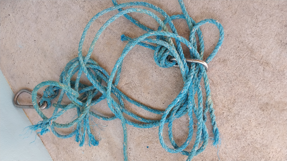
Entangled Help


Use the vertical tabs below to record any entangled animals you found of each type.

Ecosystem Other
Other

Ras Katy

0
0
0
0

27.731596577761, 34.097803703187

0
0
0
coral
0
1
0
0
0
King Snefro Fleet
Ahmed Abouelftouh
0
0
0
0
0
0
0
0
0
0
0
0
0
0
0
0
0
0
0
11
0
0
0
0
4
0
0
0
0
0
1
1
1
0
0
0
15.00
40
25.00
10.00
0
estimated
0
0
2746.18
1
0
0
0
1
1
On
kilograms
0
I have debris data to report
2
0
0
Calm (glassy to rippled) for waves 0 – 0.1 meter high
0
0
0
2
0
0
1
m2
0
1
meters
coral reef
0
0
0
0
0
0
0
0
0
0
0
0
0
0
0
0
0
0
1
0
0
1
0
0
0
0
0
1
0
Egypt
City
Sharm El Sheikh
Map Help


Dive Location

If you know your survey site coordinates, enter them manually in decimal degrees using WGS84 Map Datum. Use the minus sign for latitudes south of the equator and longitudes west of the Prime Meridian to 180 degrees.

If you do not know your survey site coordinates, click the “Map Location” tab to use the map to zoom into your survey site and drop the pin on the map to fall within your survey dive site in the water (not on land or the beach). Ensure you zoom in as much as possible to ensure data accuracy.

Entangled Help


Use the vertical tabs below to record any entangled animals you found of each type.

Ose cape

1
25
0
0

35.024572117841, 138.78687548161

1
0
0
sand
0
0
0
1
0
A lot of debris more than expect
Ankle weight
Osaka
Koike
0
1
0
0
0
0
0
0
1
0
0
0
0
0
0
0
0
0
0
6
0
0
1
0
0
0
0
0
0
0
0
0
0
0
0
0
0.95
40
18.00
1.00
1
measured
0
0
36.63
0
0
0
2
0
Fishing line
1
On
kilograms
0
I have debris data to report
2
1
0
Slight for waves 0.5 -1.25 meter high
2
0
1
0
1
2
0
m2
4
0
meters
other
0
0
0
0
0
1
0
0
1
0
0
0
0
0
0
0
0
2
0
0
0
0
0
0
0
0
0
0
0
Japan
Map Help


Dive Location

If you know your survey site coordinates, enter them manually in decimal degrees using WGS84 Map Datum. Use the minus sign for latitudes south of the equator and longitudes west of the Prime Meridian to 180 degrees.

If you do not know your survey site coordinates, click the “Map Location” tab to use the map to zoom into your survey site and drop the pin on the map to fall within your survey dive site in the water (not on land or the beach). Ensure you zoom in as much as possible to ensure data accuracy.

Entangled Help


Use the vertical tabs below to record any entangled animals you found of each type.

Ecosystem Other
Other

Morganey

0
1
0
0

15.732862, -96.150005

0
0
0
sand
0
0
0
1
0
None
Goggled
Fine
Huatulco Dive Center
Shaun
0
0
0
0
0
0
0
0
3
0
0
0
0
0
0
0
0
0
0
2
0
0
0
0
0
0
0
0
0
0
0
0
0
0
0
0
4.00
85
11.00
5.00
0
estimated
0
0
231.52
0
0
0
0
0
Plastic
0
On
pounds
0
I have debris data to report
1
0
0
Calm (glassy to rippled) for waves 0 – 0.1 meter high
0
0
0
0
1
0
0
m2
0
0
meters
rocky reef
0
0
0
0
0
0
0
0
0
0
0
0
0
0
0
0
0
0
0
0
0
0
0
0
0
0
0
0
0
Mexico
State\Province
Oaxaca
City
Bahias de Huatulco
Map Help


Dive Location

If you know your survey site coordinates, enter them manually in decimal degrees using WGS84 Map Datum. Use the minus sign for latitudes south of the equator and longitudes west of the Prime Meridian to 180 degrees.

If you do not know your survey site coordinates, click the “Map Location” tab to use the map to zoom into your survey site and drop the pin on the map to fall within your survey dive site in the water (not on land or the beach). Ensure you zoom in as much as possible to ensure data accuracy.

Entangled Help


Use the vertical tabs below to record any entangled animals you found of each type.

Lighthouse / Bannerfish Bay

0
99
4
0

28.498747, 34.51991

0
0
0
sand
0
0
1
6
0
No
Species unknown
Windy and sunny
19
Chewing gum
Red Sea Tribe
Rachel Shelley
0
0
0
0
266
0
0
0
0
0
0
0
0
1
0
0
0
3
45
4
0
0
0
0
0
0
13
0
0
0
0
0
0
0
0
0
7.00
35
27.00
1.00
1
estimated
0
0
2362.29
0
0
0
0
0
Cigarette butts
Plastic fragments
Clothing pieces
0
On
kilograms
0
I have debris data to report
0
0
0
Smooth (wavelets) for waves 0.1 - 0.5 meter high
6
0
0
Rag rug
Small crabs and shrimps
Released Unharmed
1
0
0
0
0
m2
0
0
meters
coral reef
1
0
0
0
0
0
0
0
0
93
0
0
0
19
0
0
0
0
0
0
0
0
18
0
0
0
0
0
0
Egypt
State\Province
South Sinai
City
Dahab
Map Help


Dive Location

If you know your survey site coordinates, enter them manually in decimal degrees using WGS84 Map Datum. Use the minus sign for latitudes south of the equator and longitudes west of the Prime Meridian to 180 degrees.

If you do not know your survey site coordinates, click the “Map Location” tab to use the map to zoom into your survey site and drop the pin on the map to fall within your survey dive site in the water (not on land or the beach). Ensure you zoom in as much as possible to ensure data accuracy.

Entangled Help


Use the vertical tabs below to record any entangled animals you found of each type.

Timi Beach Dive Site

6
sand

34.705008305338, 32.499672174454

Bin lid
High winds from the south
1
Bin Lid (from local beach)
Cyprus Diving Adventures
Ryland Cairns
2
2.50
40
6.00
2.00
measured
3000.00
On
kilograms
I have debris data to report
Smooth (wavelets) for waves 0.1 - 0.5 meter high m2
meters
rocky reef
1
Cyprus
State\Province
Limassol
City
Pissouri
Map Help


Dive Location

If you know your survey site coordinates, enter them manually in decimal degrees using WGS84 Map Datum. Use the minus sign for latitudes south of the equator and longitudes west of the Prime Meridian to 180 degrees.

If you do not know your survey site coordinates, click the “Map Location” tab to use the map to zoom into your survey site and drop the pin on the map to fall within your survey dive site in the water (not on land or the beach). Ensure you zoom in as much as possible to ensure data accuracy.

Entangled Help


Use the vertical tabs below to record any entangled animals you found of each type.

Osezaki, Shizuoka, Japan

1
12
1

35.02720799529, 138.78910744875

1
sand
4
1
Rain with sunny intervals.
Marine House Lei Aloha
Iris Law
1
1
6
1
0.50
62
10.20
1.60
estimated
5817.00
1
Plastic fragments
Bags - grocery/retail (plastic)
On
kilograms
I have debris data to report
1
Calm (glassy to rippled) for waves 0 – 0.1 meter high m2
1
meters
rocky reef
Japan
State\Province
Shizuoka
City
Numazu
Map Help


Dive Location

If you know your survey site coordinates, enter them manually in decimal degrees using WGS84 Map Datum. Use the minus sign for latitudes south of the equator and longitudes west of the Prime Meridian to 180 degrees.

If you do not know your survey site coordinates, click the “Map Location” tab to use the map to zoom into your survey site and drop the pin on the map to fall within your survey dive site in the water (not on land or the beach). Ensure you zoom in as much as possible to ensure data accuracy.

Entangled Help


Use the vertical tabs below to record any entangled animals you found of each type.

Sunabe South Steps #319871

8
50
0
0

26.321757803006, 127.74785794152

3
0
0
coral
0
0
0
2
0
No
Razor
Wind and rain
Tsunami Scuba
Patricia Shelton
0
0
0
1
1
0
0
0
0
0
0
0
0
0
0
0
0
0
0
7
0
0
0
0
0
0
0
0
0
0
0
0
0
0
0
0
2.40
70
39.00
5.00
0
measured
0
0
54836.70
0
0
1
0
0
Plastic
0
On
pounds
0
I have debris data to report
0
0
0
Smooth (wavelets) for waves 0.1 - 0.5 meter high
0
0
0
0
1
0
0
ft2
0
0
feet
coral reef
4
0
0
0
0
0
0
0
0
0
0
0
0
0
0
0
0
2
0
0
0
0
2
0
0
0
0
0
0
Japan
State\Province
AP
City
FPO
Map Help


Dive Location

If you know your survey site coordinates, enter them manually in decimal degrees using WGS84 Map Datum. Use the minus sign for latitudes south of the equator and longitudes west of the Prime Meridian to 180 degrees.

If you do not know your survey site coordinates, click the “Map Location” tab to use the map to zoom into your survey site and drop the pin on the map to fall within your survey dive site in the water (not on land or the beach). Ensure you zoom in as much as possible to ensure data accuracy.

Entangled Help


Use the vertical tabs below to record any entangled animals you found of each type.

Frankston Pier

5
20
1
1

-38.146, 145.1143

19
1
0
sand
0
1
2
150
0
150 golf balls
Variable
3
Vapes
Aquatic Adventures
Yusuf
0
2
0
0
0
0
0
0
2
0
0
0
0
0
0
0
0
0
0
7
0
0
2
0
3
0
2
0
0
0
0
0
0
0
0
0
30.00
60
5.00
2.00
0
estimated
0
0
4445.61
1
0
0
0
0
Fishing line
Netting
Fabric
2
On
kilograms
0
I have debris data to report
0
0
0
Smooth (wavelets) for waves 0.1 - 0.5 meter high
0
0
1
Fishing line
Shore crab
Released Unharmed
3
0
0
0
0
m2
0
3
meters
seagrass
0
0
1
0
2
0
0
0
0
5
1
0
0
0
0
0
1
15
0
0
0
0
3
1
0
0
0
0
0
Australia
State\Province
Vic
City
Frankston
Map Help


Dive Location

If you know your survey site coordinates, enter them manually in decimal degrees using WGS84 Map Datum. Use the minus sign for latitudes south of the equator and longitudes west of the Prime Meridian to 180 degrees.

If you do not know your survey site coordinates, click the “Map Location” tab to use the map to zoom into your survey site and drop the pin on the map to fall within your survey dive site in the water (not on land or the beach). Ensure you zoom in as much as possible to ensure data accuracy.

Entangled Help


Use the vertical tabs below to record any entangled animals you found of each type.

Subscribe to